Waitrose stop - Sunday schedule
| Line | Direction | Time |
|---|---|---|
| 144 | Worcester Bus Station | 09:26 |
| 144 | Worcester Bus Station | 10:24 |
| 144 | Worcester Bus Station | 11:24 |
| 144 | Worcester Bus Station | 12:26 |
| 144 | Worcester Bus Station | 13:25 |
| 144 | Worcester Bus Station | 14:24 |
| 144 | Worcester Bus Station | 15:24 |
| 144 | Worcester Bus Station | 16:23 |
| 144 | Worcester Bus Station | 17:23 |
| 144 | Worcester Bus Station | 18:21 |
Directions to Waitrose stop (Droitwich East) with public transport
The following transport lines have routes that pass near Waitrose
 Bus: 144, 19, S19, 20, 20A.
- Train: WEST MIDLANDS RAILWAY.
How to get to Waitrose stop by bus?
Click on the bus route to see step by step directions with maps, line arrival times and updated time schedules.
Bus stops near Waitrose stop in Droitwich East
- Queen Street, 4 min walk,
- Raven Hotel, 7 min walk,
- Victoria Square, 7 min walk,
- Droitwich Spa, 13 min walk,
Bus lines to Waitrose stop in Droitwich East
- 19, Droitwich,
- S19, Droitwich,
- 20, Droitwich,
- 20A, Droitwich,
- 20B, Droitwich,
- 22, Droitwich,
- 22A, Worcester Bus Station,
- 133, Kidderminster Bus Station,
- 144, Catshill,
- 145, Sainsburys Longbridge,
- 153, Hampton Lovett, Industrial Estate,
- 157, Droitwich,
- 354, Doverdale Park,
- S23, Droitwich,
- 355, Crowngate Bus Station,
- S1, Droitwich,
- WEST MIDLANDS RAILWAY, Birmingham New Street,
- WEST MIDLANDS RAILWAY, Bus Replacement: Worcester Foregate Street,
What are the nearest stations to Waitrose?
The nearest stations to Waitrose are:
- Queen Street is 241 meters away, 4 min walk.
- Raven Hotel is 482 meters away, 7 min walk.
- Victoria Square is 486 meters away, 7 min walk.
- Droitwich Spa is 968 meters away, 13 min walk.
Which bus line stops near Waitrose?
144 (Worcester Bus Station)
Which train line stops near Waitrose?
WEST MIDLANDS RAILWAY (Stratford-Upon-Avon)
What’s the nearest bus station to Waitrose in Droitwich East?
The nearest bus station to Waitrose in Droitwich East is Queen Street. It’s a 4 min walk away.
What time is the first train to Waitrose in Droitwich East?
The WEST MIDLANDS RAILWAY is the first train that goes to Waitrose in Droitwich East. It stops nearby at 05:20.
What time is the last train to Waitrose in Droitwich East?
The WEST MIDLANDS RAILWAY is the last train that goes to Waitrose in Droitwich East. It stops nearby at 23:56.
What time is the first bus to Waitrose in Droitwich East?
The 153 is the first bus that goes to Waitrose in Droitwich East. It stops nearby at 05:28.
What time is the last bus to Waitrose in Droitwich East?
The 153 is the last bus that goes to Waitrose in Droitwich East. It stops nearby at 22:40.
Waitrose station
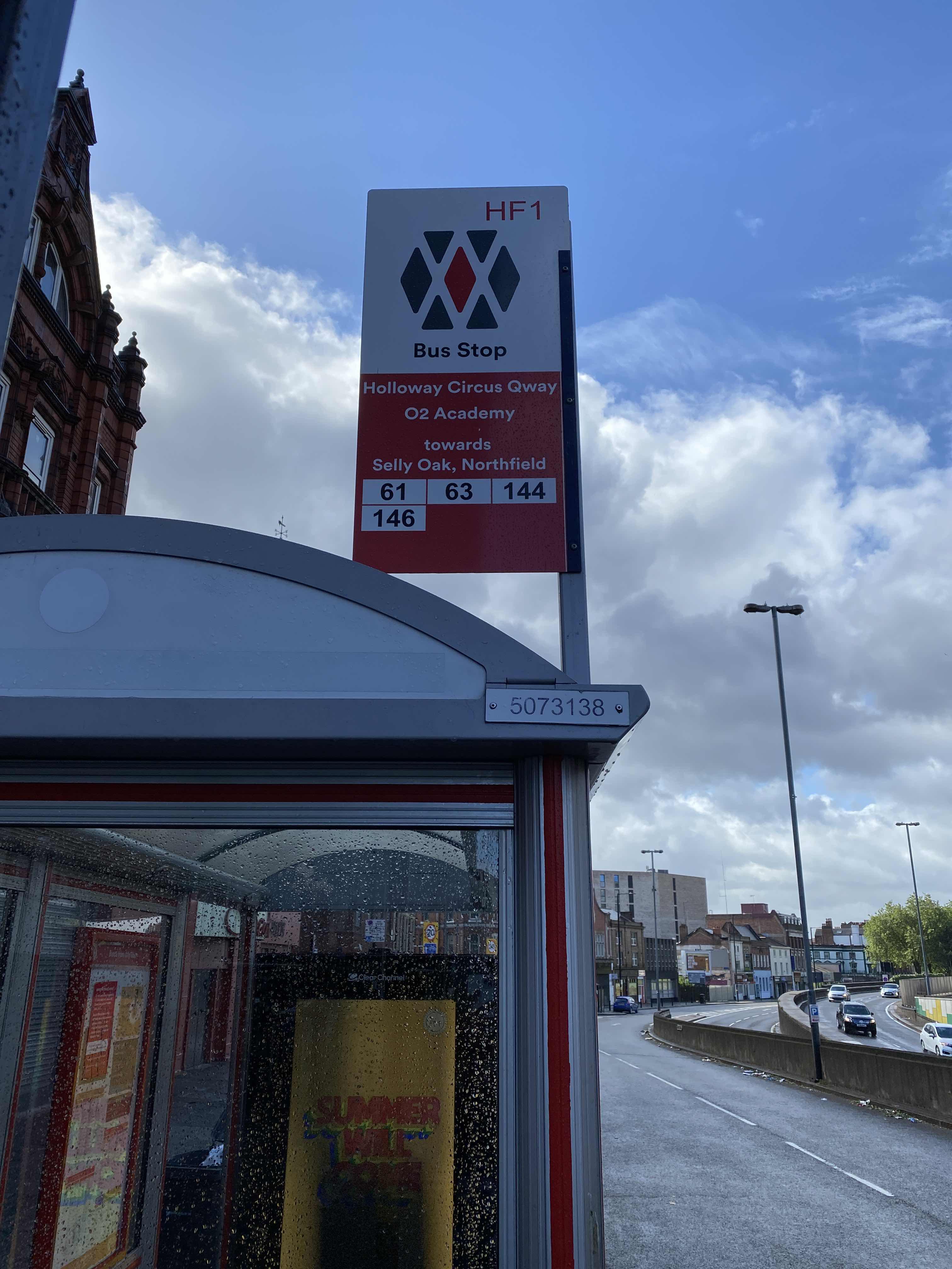 Taken by Anonymous
See Waitrose stop, Droitwich East, on the map
Public transport to Waitrose stop (ID: wocdwjmg) in Droitwich East
Looking for directions to Waitrose in Droitwich East, United Kingdom?
Download the Moovit App to find the current schedule and step-by-step directions for Bus or Train routes that pass through Waitrose.
Looking for the nearest stops closest to Waitrose ? Check out this list of closest stops to your destination: Queen Street; Raven Hotel; Victoria Square; Droitwich Spa.
Bus: 144, 19, S19, 20, 20A, 20B, S23, 355, S1, WEST MIDLANDS RAILWAY, WEST MIDLANDS RAILWAY.Train: WEST MIDLANDS RAILWAY.
We make riding on public transit to Waitrose easy, which is why over 1.5 million users, including users in Droitwich East trust Moovit as the best app for public transit.
Use the app to navigate to popular places including to the airport, hospital, stadium, grocery store, mall, coffee shop, school, college, and university.
Waitrose stop’s code is wocdwjmg
The first line to this stop is 144, at 09:26, and the last line is 144 at 18:21.
Saltway, Droitwich Spa, England, United Kingdom
This stop serves First Worcestershire, Diamond Bus, LMS Travel and Kevs Cars and Coaches’s lines
- Queen Street,
- Raven Hotel,
- Victoria Square,
- Droitwich Spa
Bus stops near Waitrose stop
- Mary Stevens Park,
- Hall Green,
- Shenley Fields Drive,
- Hardwick Rd,
- Darlaston Asda,
- The Mount,
- Star City Terminus,
- Caroline St,
- Priory Rd,
- Gospel Oak Rd,
- Danzey,
- Orchard Rd,
- Fallings Park,
- Spread Eagle Ph,
- Hollywood Bowl,
- Chase Rd,
- Wellesbourne Market,
- The Learning Hub,
- Vickers Road,
- Stratford High School
Popular public transport stations in Droitwich East
Get around Droitwich East by public transport!
Travelling around Droitwich East has never been so easy. See step by step directions as you travel to any attraction, street or major public transport station. View bus and train timetables, arrival times, service alerts and detailed routes on a map, so you know exactly how to get to anywhere in Droitwich East.
When travelling to any destination around Droitwich East use Moovit's Live Directions with Get Off Notifications to know exactly where and how far to walk, how long to wait for your line , and how many stops are left. Moovit will alert you when it’s time to get off — no need to constantly re-check whether yours is the next stop.
Wondering how to use public transport in Droitwich East or how to pay for public transport in Droitwich East? Moovit public transport app can help you navigate your way with public transport easily, and at minimum cost. It includes public transport fees, ticket prices, and costs. Looking for a map of Droitwich East public transport lines? Moovit public transport app shows all public transport maps in Droitwich East with all Bus, Train and Light rail routes and stops on an interactive map.
West Midlands has 3 transport type(s), including: Bus, Train and Light rail, operated by several transport agencies, including National Express West Midlands, National Express Coventry, National Express, Diamond Bus, Arriva Midlands, Stagecoach Midlands, West Midlands Metro, Stagecoach West, Stagecoach South Wales, First Potteries, First Worcestershire, LandFlight, trentbarton, D & G Bus and Flexibus