Why Not stop - Wednesday schedule
| Line | Direction | Time |
|---|---|---|
| 37 | Lion Hotel | 07:33 |
| 37 | Lion Hotel | 08:11 |
| 37 | Lion Hotel | 08:41 |
| 37 | Lion Hotel | 09:11 |
| 37 | Lion Hotel | 09:40 |
| 37 | Lion Hotel | 10:10 |
| 37 | Lion Hotel | 10:40 |
| 37 | Lion Hotel | 11:10 |
| 37 | Lion Hotel | 11:40 |
| 37 | Lion Hotel | 12:10 |
| 37 | Lion Hotel | 12:40 |
| 37 | Lion Hotel | 13:10 |
| 37 | Lion Hotel | 13:40 |
| 37 | Lion Hotel | 14:10 |
| 37 | Lion Hotel | 14:40 |
| 37 | Lion Hotel | 15:10 |
| 37 | Lion Hotel | 15:45 |
| 37 | Lion Hotel | 16:17 |
| 37 | Lion Hotel | 16:47 |
| 37 | Lion Hotel | 17:19 |
| 37 | Lion Hotel | 17:48 |
| 37 | Lion Hotel | 18:12 |
| 37 | Lion Hotel | 18:41 |
| 37 | Lion Hotel | 19:18 |
| 37 | Lion Hotel | 20:18 |
Directions to Why Not stop (Darlaston South) with public transport
The following transport lines have routes that pass near Why Not
 Bus: 34, 37, 79, 310.
- Train: WEST MIDLANDS RAILWAY.
How to get to Why Not stop by bus?
Click on the bus route to see step by step directions with maps, line arrival times and updated time schedules.
How to get to Why Not stop by train?
Click on the train route to see step by step directions with maps, line arrival times and updated time schedules.
Bus stops near Why Not stop in Darlaston South
- Why Not, 1 min walk,
- St Josephs School, 3 min walk,
Light Rail stations near Why Not station in Darlaston South
- Bilston Central (West Midlands Metro), 37 min walk,
Bus lines to Why Not stop in Darlaston South
- 37, Saddlers Centre,
- 34, Bilston Bus Station,
- 310, Wednesbury Bus Station,
What are the nearest stations to Why Not?
The nearest stations to Why Not are:
- Why Not stop is 12 meters away, 1 min walk.
- St Josephs School stop is 228 meters away, 3 min walk.
- Bilston Central (West Midlands Metro) station is 2919 meters away, 37 min walk.
Which bus lines stop near Why Not?
These bus lines stop near Why Not: 34, 37, 79.
Which train line stops near Why Not?
WEST MIDLANDS RAILWAY (Shrewsbury)
What’s the nearest bus station to Why Not in Darlaston South?
The nearest bus station to Why Not in Darlaston South is Why Not. It’s a 1 min walk away.
What time is the first light rail to Why Not in Darlaston South?
The METRO is the first light rail that goes to Why Not in Darlaston South. It stops nearby at 07:12.
What time is the last light rail to Why Not in Darlaston South?
The METRO is the last light rail that goes to Why Not in Darlaston South. It stops nearby at 00:45.
What time is the first bus to Why Not in Darlaston South?
The 37 is the first bus that goes to Why Not in Darlaston South. It stops nearby at 09:33.
What time is the last bus to Why Not in Darlaston South?
The 34 is the last bus that goes to Why Not in Darlaston South. It stops nearby at 23:16.
Why Not station
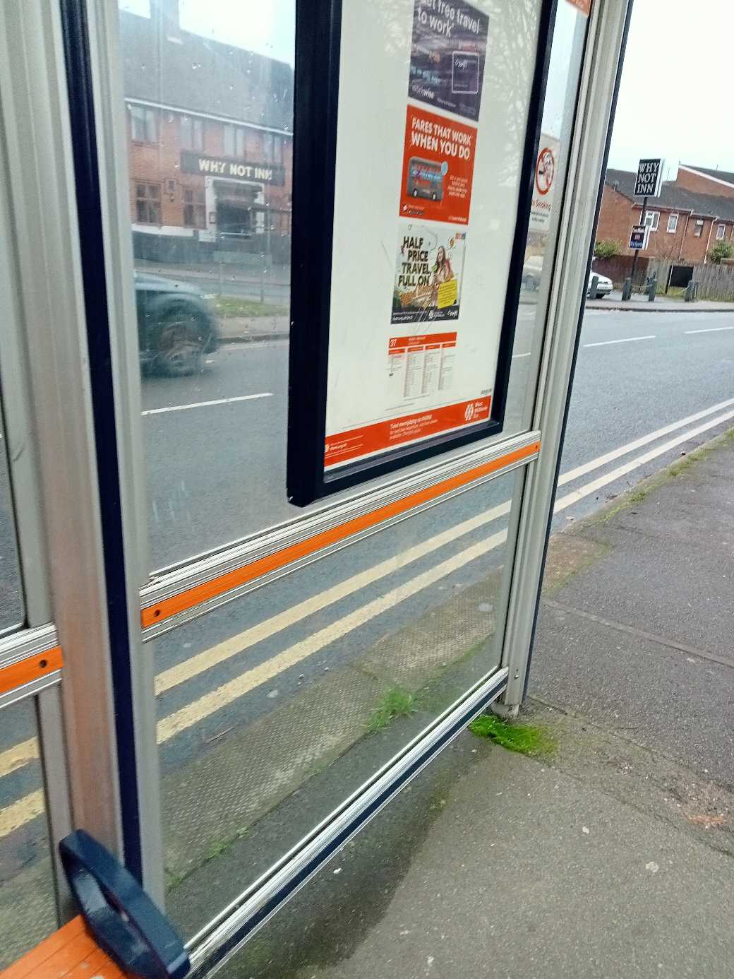 Taken by Anonymous
See Why Not stop, Darlaston South, on the map
Public transport to Why Not stop (ID: nwmjdptg) in Darlaston South
Looking for directions to Why Not in Darlaston South, United Kingdom?
Download the Moovit App to find the current schedule and step-by-step directions for Bus, Train or Light rail routes that pass through Why Not.
Looking for the nearest stops closest to Why Not ? Check out this list of closest stops to your destination: Why Not; St Josephs School; Bilston Central (West Midlands Metro).
Bus: 34, 37, 79, 310.Train: WEST MIDLANDS RAILWAY.
We make riding on public transit to Why Not easy, which is why over 1.7 billion users, including users in Darlaston South trust Moovit as the best app for public transit.
Use the app to navigate to popular places including to the airport, hospital, stadium, grocery store, mall, coffee shop, school, college, and university.
Why Not stop’s code is nwmjdptg
The first line to this stop is 37, at 07:33, and the last line is 37 at 22:18.
The Green, Birmingham/Wolverhampton/Walsall/Dudley, England, United Kingdom
This stop serves National Express West Midlands’s lines
- Why Not,
- St Josephs School
Bus stops near Why Not stop
- Bilston Central (West Midlands Metro)
Light Rail station near Why Not station
- Court Oak Road,
- Sheldon Heath Road,
- Allison Street,
- Wakes Ground,
- Churchill Road,
- Acocks Green Village,
- Spies Lane,
- Kingsley Road,
- Aberdeen Street,
- Blood & Transplant Centre,
- John Henry Newman College,
- Bilbrook,
- Acocks Green Village,
- Birmingham Snow Hill,
- Poppy Lane,
- The Ivy Bush,
- Tudor Grange Academy,
- Industrial Estate,
- Chawn Park Drive,
- Chaceley Close
Popular public transport stations in Darlaston South
Get around Darlaston South by public transport!
Travelling around Darlaston South has never been so easy. See step by step directions as you travel to any attraction, street or major public transport station. View bus and train timetables, arrival times, service alerts and detailed routes on a map, so you know exactly how to get to anywhere in Darlaston South.
When travelling to any destination around Darlaston South use Moovit's Live Directions with Get Off Notifications to know exactly where and how far to walk, how long to wait for your line , and how many stops are left. Moovit will alert you when it’s time to get off — no need to constantly re-check whether yours is the next stop.
Wondering how to use public transport in Darlaston South or how to pay for public transport in Darlaston South? Moovit public transport app can help you navigate your way with public transport easily, and at minimum cost. It includes public transport fees, ticket prices, and costs. Looking for a map of Darlaston South public transport lines? Moovit public transport app shows all public transport maps in Darlaston South with all Bus, Train and Light rail routes and stops on an interactive map.
West Midlands has 3 transport type(s), including: Bus, Train and Light rail, operated by several transport agencies, including National Express West Midlands, National Express Coventry, National Express, Diamond Bus, Arriva Midlands, Stagecoach Midlands, West Midlands Metro, Stagecoach West, Stagecoach South Wales, First Potteries, First Worcestershire, LandFlight, trentbarton, D & G Bus and Flexibus