Directions to Zane Pool Heating (Byford) with public transport
The following transport lines have routes that pass near Zane Pool Heating
 Bus: 254, 255, 256.
- Train: ARMADALE LINE.
How to get to Zane Pool Heating by bus?
Click on the bus route to see step by step directions with maps, line arrival times and updated time schedules.
From Harrisdale Senior High School, Forrestdale
85 minFrom Armadale Aquatic Centre, Seville Grove
79 minFrom Jing Tu Temple Western Australia, Kelmscott
64 minFrom Armadale Kelmscott District Memorial Hospital, Mount Nasura
90 minFrom Armadale Senior High School, Armadale
73 minFrom Kelmscott Senior High School, Kelmscott
83 min
How to get to Zane Pool Heating by train?
Click on the train route to see step by step directions with maps, line arrival times and updated time schedules.
Bus stops near Zane Pool Heating in Byford
Bus lines to Zane Pool Heating in Byford
What are the nearest stations to Zane Pool Heating?
The nearest stations to Zane Pool Heating are:
- Tourmaline Bvd Before Gallipolli Av is 54 meters away, 1 min walk.
- Tourmaline Bvd After Gallipolli Av is 65 meters away, 2 min walk.
- Gallipoli Av Before Symons Rd is 601 meters away, 8 min walk.
Which bus lines stop near Zane Pool Heating?
These bus lines stop near Zane Pool Heating: 254, 255.
Which train line stops near Zane Pool Heating?
ARMADALE LINE (Byford Stn)
What’s the nearest bus station to Zane Pool Heating in Byford?
The nearest bus station to Zane Pool Heating in Byford is Tourmaline Bvd Before Gallipolli Av. It’s a 1 min walk away.
What time is the first bus to Zane Pool Heating in Byford?
The 255 is the first bus that goes to Zane Pool Heating in Byford. It stops nearby at 04:49.
What time is the last bus to Zane Pool Heating in Byford?
The 254 is the last bus that goes to Zane Pool Heating in Byford. It stops nearby at 23:42.
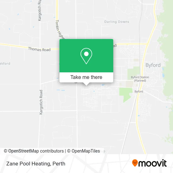
See Zane Pool Heating, Byford, on the map
Public Transit to Zane Pool Heating in Byford
Wondering how to get to Zane Pool Heating in Byford? Moovit helps you find the best way to get to Zane Pool Heating with step-by-step directions from the nearest public transit station.
Moovit provides free maps and live directions to help you navigate through your city. View schedules, routes, timetables, and find out how long does it take to get to Zane Pool Heating in real time.
Looking for the nearest stop or station to Zane Pool Heating? Check out this list of stops closest to your destination: Tourmaline Bvd Before Gallipolli Av; Tourmaline Bvd After Gallipolli Av; Gallipoli Av Before Symons Rd.
Bus: 254, 255, 256.Train: ARMADALE LINE.
Want to see if there’s another route that gets you there at an earlier time? Moovit helps you find alternative routes or times. Get directions from and directions to Zane Pool Heating easily from the Moovit App or Website.
We make riding to Zane Pool Heating easy, which is why over 1.5 million users, including users in Byford, trust Moovit as the best app for public transit. You don’t need to download an individual bus app or train app, Moovit is your all-in-one transit app that helps you find the best bus time or train time available.
For information on prices of bus and train, costs and ride fares to Zane Pool Heating, please check the Moovit app.
Use the app to navigate to popular places including to the airport, hospital, stadium, grocery store, mall, coffee shop, school, college, and university.
Zane Pool Heating Address: Gallipoli Ave Byford WA 6122 street in Byford
- Kaym1 Support Services,
- MNC Civil,
- Ric and Mars Cleaning Services,
- Step1barber,
- Peachee,
- Thai Bliss Remedial Massage Therapy,
- Woodland Grove Primary School,
- Ovenu Canning Vale,
- Synergetic Bodyworks,
- Professionals Byford,
- Knox English Learning Ielts & Pte Classes,
- Hosted WP,
- Professionals Byford,
- Dynasty of Hair,
- The Lash Studio,
- On Point Nails,
- Supreme Hobbies and Toys,
- Ovenu Canning Vale,
- Shiva Wa,
- Oztan
Places Near Zane Pool Heating (Byford)
- DFO, Perth Airport,
- Blue Boat House,
- Karrinyup Shopping Centre, Karrinyup,
- Westfield Carousel, Cannington,
- Rac Arena, Perth,
- Crown Perth Casino, Burswood,
- Langley Park, Perth,
- Optus Stadium, Burswood,
- Royal Perth Hospital, Perth,
- Sir Charles Gairdner Hospital, Nedlands,
- Watertown, Perth,
- Perth Convention Exhibition Centre, Perth,
- Fiona Stanley Hospital, Murdoch,
- Scitech, West Perth,
- Mount Hospital, Perth,
- Yankee Mart, Baldivis,
- Aqwa Aquarium, Hillarys,
- IKEA, Innaloo,
- McCallum Park, Victoria Park,
- Pelicaan Investment Ho, Bellevue
How to get to popular places in Perth with public transport
Get around Byford by public transport!
Travelling around Byford has never been so easy. See step by step directions as you travel to any attraction, street or major public transport station. View bus and train timetables, arrival times, service alerts and detailed routes on a map, so you know exactly how to get to anywhere in Byford.
When travelling to any destination around Byford use Moovit's Live Directions with Get Off Notifications to know exactly where and how far to walk, how long to wait for your line , and how many stops are left. Moovit will alert you when it’s time to get off — no need to constantly re-check whether yours is the next stop.
Wondering how to use public transport in Byford or how to pay for public transport in Byford? Moovit public transport app can help you navigate your way with public transport easily, and at minimum cost. It includes public transport fees, ticket prices, and costs. Looking for a map of Byford public transport lines? Moovit public transport app shows all public transport maps in Byford with all Bus, Train and Ferry routes and stops on an interactive map.
Perth has 3 transport type(s), including: Bus, Train and Ferry, operated by several transport agencies, including Transperth Rail, Transwa, Transperth Ferry, Transperth, TransBusselton, TransAlbany, TransGoldfields, TransEsperance, TransGeraldton, TransCarnarvon, TransHedland, TransKarratha, TransBunbury, Mandurah Bus Charter and TransBroome