
5A Bus Route Map
View the 5A route map and see all 5A stops along the route. The map of 5A shows where the bus travels and the location of each stop, making it easy to understand the entire route at a glance.
Explore Nottingham City Transport routes on the map and see where Nottingham City Transport bus services operate. Use the 5A map to find bus stops and see how the 5A connects different areas along its trip.
All 5A stops on the map are displayed in route order, helping you follow the 5A bus from the first stop to the last.
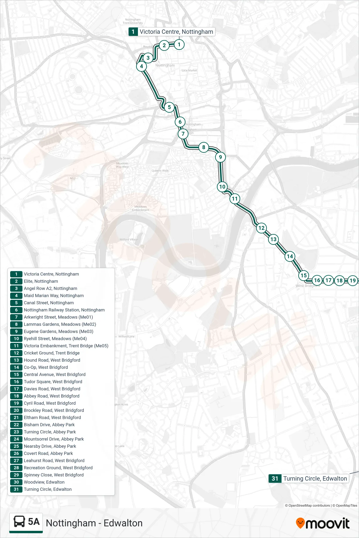
Stops list (5A - Edwalton)
- Victoria Centre, Nottingham
- Elite, Nottingham
- Angel Row A2, Nottingham
- Maid Marian Way, Nottingham
- Canal Street, Nottingham
- Nottingham Railway Station, Nottingham
- Arkwright Street, Meadows (Me01)
- Lammas Gardens, Meadows (Me02)
- Eugene Gardens, Meadows (Me03)
- Ryehill Street, Meadows (Me04)
- Victoria Embankment, Trent Bridge (Me05)
- Cricket Ground, Trent Bridge
- Hound Road, West Bridgford
- Co-Op, West Bridgford
- Central Avenue, West Bridgford
- Tudor Square, West Bridgford
- Davies Road, West Bridgford
- Abbey Road, West Bridgford
- Cyril Road, West Bridgford
- Brockley Road, West Bridgford
- Eltham Road, West Bridgford
- Bisham Drive, Abbey Park
- Turning Circle, Abbey Park
- Mountsorrel Drive, Abbey Park
- Nearsby Drive, Abbey Park
- Covert Road, Abbey Park
- Leahurst Road, West Bridgford
- Recreation Ground, West Bridgford
- Spinney Close, West Bridgford
- Woodview, Edwalton
- Turning Circle, Edwalton