
E1 Bus Route Map
View the E1 route map and see all E1 stops along the route. The map of E1 shows where the bus travels and the location of each stop, making it easy to understand the entire route at a glance.
Explore Ember routes on the map and see where Ember bus services operate. Use the E1 map to find bus stops and see how the E1 connects different areas along its trip.
All E1 stops on the map are displayed in route order, helping you follow the E1 bus from the first stop to the last.
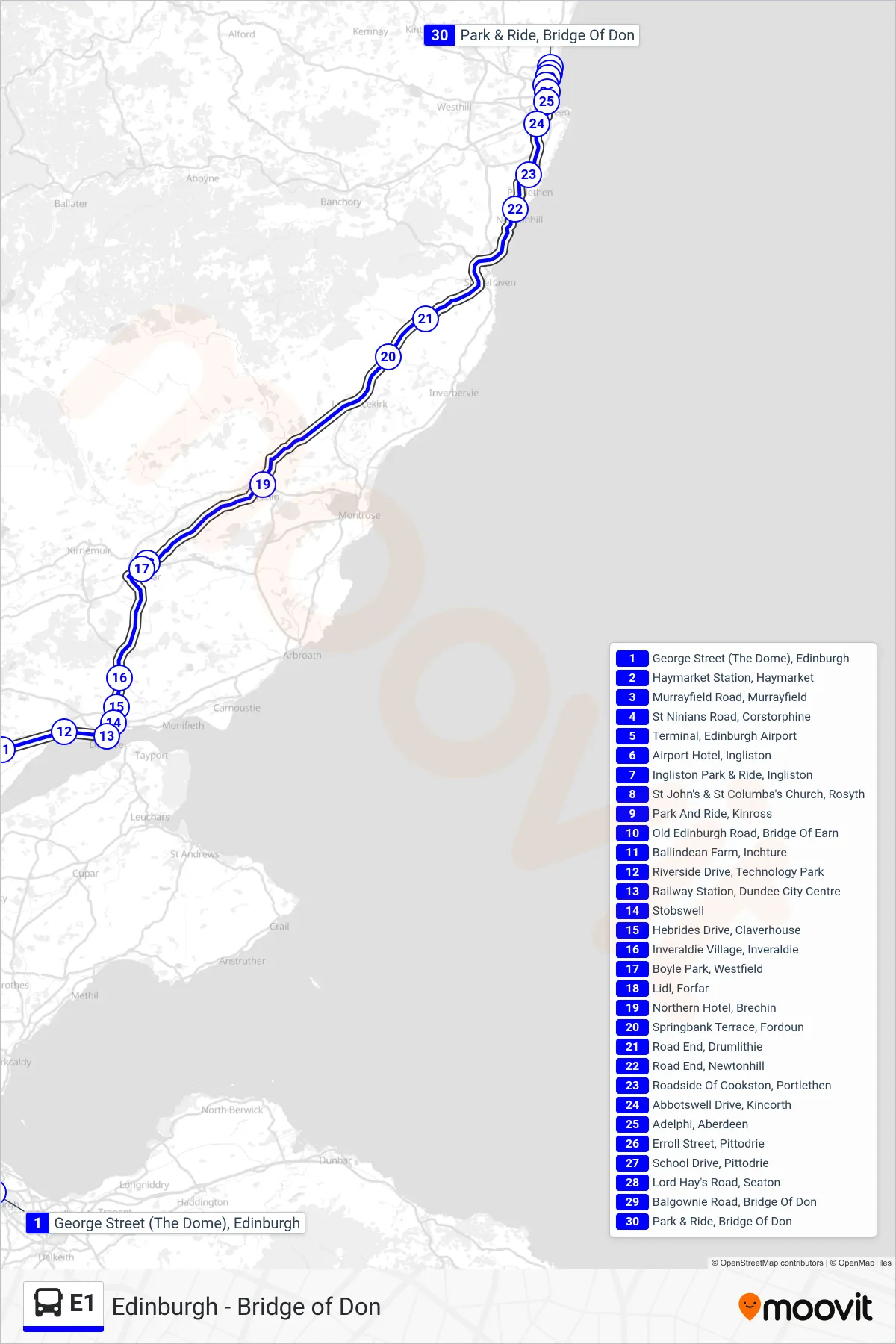
Stops list (E1 - Bridge Of Don)
- George Street (The Dome), Edinburgh
- Haymarket Station, Haymarket
- Murrayfield Road, Murrayfield
- St Ninians Road, Corstorphine
- Terminal, Edinburgh Airport
- Airport Hotel, Ingliston
- Ingliston Park & Ride, Ingliston
- St John's & St Columba's Church, Rosyth
- Park And Ride, Kinross
- Old Edinburgh Road, Bridge Of Earn
- Ballindean Farm, Inchture
- Riverside Drive, Technology Park
- Railway Station, Dundee City Centre
- Stobswell
- Hebrides Drive, Claverhouse
- Inveraldie Village, Inveraldie
- Boyle Park, Westfield
- Lidl, Forfar
- Northern Hotel, Brechin
- Springbank Terrace, Fordoun
- Road End, Drumlithie
- Road End, Newtonhill
- Roadside Of Cookston, Portlethen
- Abbotswell Drive, Kincorth
- Adelphi, Aberdeen
- Erroll Street, Pittodrie
- School Drive, Pittodrie
- Lord Hay's Road, Seaton
- Balgownie Road, Bridge Of Don
- Park & Ride, Bridge Of Don