
X36 Bus Route Map
View the X36 route map and see all X36 stops along the route. The map of X36 shows where the bus travels and the location of each stop, making it easy to understand the entire route at a glance.
Explore Stagecoach West Scotland routes on the map and see where Stagecoach West Scotland bus services operate. Use the X36 map to find bus stops and see how the X36 connects different areas along its trip.
All X36 stops on the map are displayed in route order, helping you follow the X36 bus from the first stop to the last.
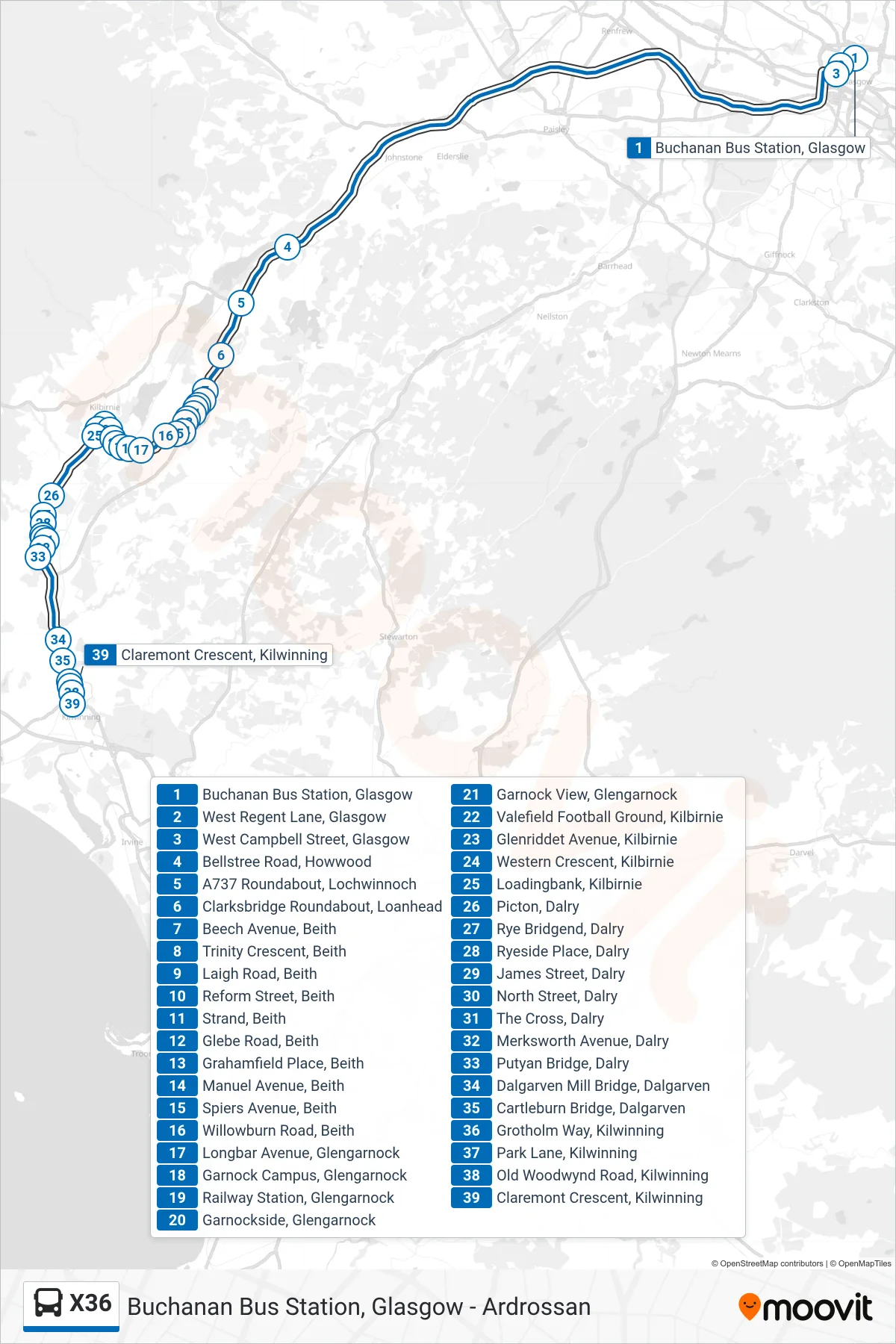
Stops list (X36 - Kilwinning)
- Buchanan Bus Station, Glasgow
- West Regent Lane, Glasgow
- West Campbell Street, Glasgow
- Bellstree Road, Howwood
- A737 Roundabout, Lochwinnoch
- Clarksbridge Roundabout, Loanhead
- Beech Avenue, Beith
- Trinity Crescent, Beith
- Laigh Road, Beith
- Reform Street, Beith
- Strand, Beith
- Glebe Road, Beith
- Grahamfield Place, Beith
- Manuel Avenue, Beith
- Spiers Avenue, Beith
- Willowburn Road, Beith
- Longbar Avenue, Glengarnock
- Garnock Campus, Glengarnock
- Railway Station, Glengarnock
- Garnockside, Glengarnock
- Garnock View, Glengarnock
- Valefield Football Ground, Kilbirnie
- Glenriddet Avenue, Kilbirnie
- Western Crescent, Kilbirnie
- Loadingbank, Kilbirnie
- Picton, Dalry
- Rye Bridgend, Dalry
- Ryeside Place, Dalry
- James Street, Dalry
- North Street, Dalry
- The Cross, Dalry
- Merksworth Avenue, Dalry
- Putyan Bridge, Dalry
- Dalgarven Mill Bridge, Dalgarven
- Cartleburn Bridge, Dalgarven
- Grotholm Way, Kilwinning
- Park Lane, Kilwinning
- Old Woodwynd Road, Kilwinning
- Claremont Crescent, Kilwinning