המדע/וייסגל stop - Monday schedule
| Line | Direction | Time |
|---|---|---|
| 16 | קריית עקרון | 05:32 |
| 16 | קריית עקרון | 05:57 |
| 16 | קריית עקרון | 06:22 |
| 16 | קריית עקרון | 06:42 |
| 16 | קריית עקרון | 07:02 |
| 16 | קריית עקרון | 07:17 |
| 16 | קריית עקרון | 07:32 |
| 16 | קריית עקרון | 07:47 |
| 16 | קריית עקרון | 08:02 |
| 16 | קריית עקרון | 08:17 |
| 16 | קריית עקרון | 08:32 |
| 16 | קריית עקרון | 08:52 |
| 16 | קריית עקרון | 09:12 |
| 16 | קריית עקרון | 09:32 |
| 16 | קריית עקרון | 09:52 |
| 16 | קריית עקרון | 10:12 |
| 16 | קריית עקרון | 10:32 |
| 16 | קריית עקרון | 10:52 |
| 16 | קריית עקרון | 11:12 |
| 16 | קריית עקרון | 11:32 |
| 16 | קריית עקרון | 11:52 |
| 16 | קריית עקרון | 12:12 |
| 16 | קריית עקרון | 12:32 |
| 16 | קריית עקרון | 12:52 |
| 16 | קריית עקרון | 13:12 |
Directions to המדע/וייסגל stop (רחובות) with public transit
The following transit lines have routes that pass near המדע/וייסגל
 Bus: 164, 201, 204, 274, 371.
- Israel Railways: אשקלון - בנימינה, בנימינה - אשקלון, אשקלון - תל אביב מרכז, בנימינה - רחובות, לוד - אשקלון.
How to get to המדע/וייסגל stop by bus?
Click on the bus route to see step by step directions with maps, line arrival times and updated time schedules.
How to get to המדע/וייסגל stop by Israel Railways?
Click on the Israel Railways route to see step by step directions with maps, line arrival times and updated time schedules.
Bus stops near המדע/וייסגל stop in רחובות
- המדע/חיים פקריס, 2 min walk,
- דרך מאיר וייסגל/פנחס ספיר, 3 min walk,
- פארק המדע/ויצמן, 3 min walk,
- פקריס/פלאוט, 3 min walk,
- פנחס ספיר/איינשטיין, 5 min walk,
- אופנהיימר/ברגמן, 6 min walk,
- ת. רכבת רחובות/הורדה, 6 min walk,
Israel Railways stations near המדע/וייסגל station in רחובות
- רכבת באר יעקב, 10 min walk,
- רכבת רחובות, 18 min walk,
- רכבת ראשון לציון הראשונים, 43 min walk,
Bus lines to המדע/וייסגל stop in רחובות
- 16, רחובות,
- 17, דרך בן גוריון/יהונתן,
- 24, רחובות,
- 24א, ת. רכבת רחובות/הורדה,
- 26, רחובות,
- 26א, רחובות,
- 27 ♿, יציץ,
- 49, יבנה,
- 160, רחובות,
- 80 ♿, רחובות,
- 164, רחובות,
- 165, פתח תקווה,
- 166, רמת גן,
- 174, תל אביב-יפו,
- 201, רחובות,
- 205, חולון,
- 273, גדרה,
- 274, תל אביב-יפו,
- 277, קריית עקרון,
- 294, אריאל,
What are the closest stations to המדע/וייסגל?
The closest stations to המדע/וייסגל are:
- המדע/חיים פקריס is 121 meters away, 2 min walk.
- דרך מאיר וייסגל/פנחס ספיר is 147 meters away, 3 min walk.
- פארק המדע/ויצמן is 174 meters away, 3 min walk.
- פקריס/פלאוט is 218 meters away, 3 min walk.
- פנחס ספיר/איינשטיין is 306 meters away, 5 min walk.
- אופנהיימר/ברגמן is 436 meters away, 6 min walk.
- ת. רכבת רחובות/הורדה is 442 meters away, 6 min walk.
- רכבת באר יעקב is 761 meters away, 10 min walk.
- רכבת רחובות is 1344 meters away, 18 min walk.
- רכבת ראשון לציון הראשונים is 3307 meters away, 43 min walk.
Which bus lines stop near המדע/וייסגל?
These bus lines stop near המדע/וייסגל: 164, 201, 204, 274, 371.
Which Israel Railways lines stop near המדע/וייסגל?
These Israel Railways lines stop near המדע/וייסגל: אשקלון - בנימינה, בנימינה - אשקלון.
What’s the nearest Israel Railways station to המדע/וייסגל in רחובות?
The nearest Israel Railways station to המדע/וייסגל in רחובות is רכבת באר יעקב. It’s a 10 min walk away.
What’s the nearest bus station to המדע/וייסגל in רחובות?
The nearest bus station to המדע/וייסגל in רחובות is המדע/חיים פקריס. It’s a 2 min walk away.
What time is the first Israel Railways to המדע/וייסגל in רחובות?
The אשקלון - בנימינה is the first Israel Railways that goes to המדע/וייסגל in רחובות. It stops nearby at 5:24 AM.
What time is the last Israel Railways to המדע/וייסגל in רחובות?
The בנימינה - אשקלון is the last Israel Railways that goes to המדע/וייסגל in רחובות. It stops nearby at 12:33 AM.
What time is the first bus to המדע/וייסגל in רחובות?
The 174 is the first bus that goes to המדע/וייסגל in רחובות. It stops nearby at 3:00 AM.
What time is the last bus to המדע/וייסגל in רחובות?
The 319 is the last bus that goes to המדע/וייסגל in רחובות. It stops nearby at 1:43 AM.
What time is the first shuttle to המדע/וייסגל in רחובות?
The שאטל is the first shuttle that goes to המדע/וייסגל in רחובות. It stops nearby at 7:10 AM.
What time is the last shuttle to המדע/וייסגל in רחובות?
The שאטל is the last shuttle that goes to המדע/וייסגל in רחובות. It stops nearby at 6:54 PM.
המדע/וייסגל station
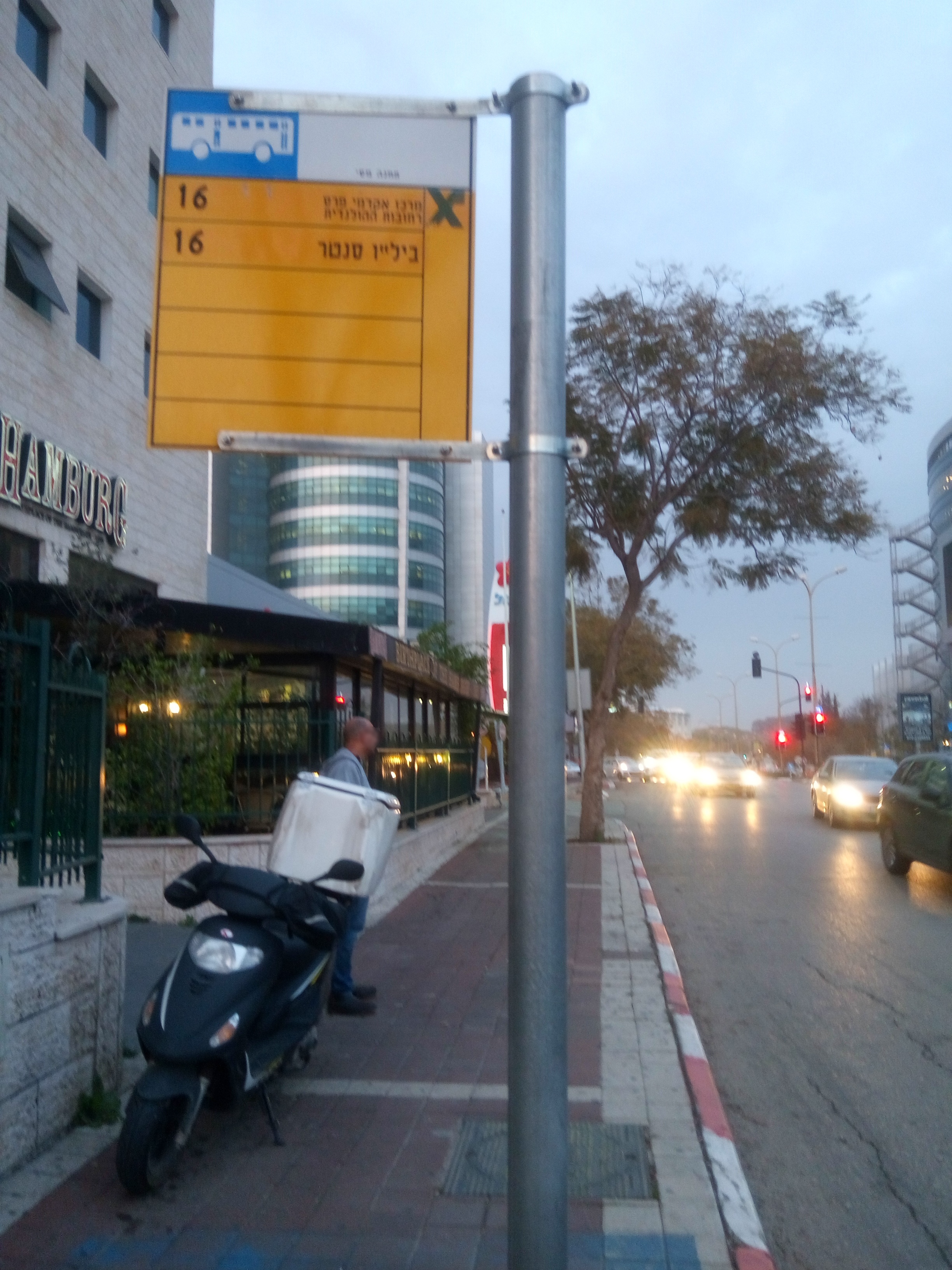 Taken by Michael Y.
See המדע/וייסגל stop, רחובות, on the map
Public transit to המדע/וייסגל stop (ID: 30641) in רחובות
Looking for directions to המדע/וייסגל in רחובות, Israel?
Download the Moovit App to find the current schedule and step-by-step directions for Bus or Israel Railways routes that pass through המדע/וייסגל.
Looking for the nearest stops closest to המדע/וייסגל ? Check out this list of closest stops to your destination: המדע/חיים פקריס; דרך מאיר וייסגל/פנחס ספיר; פארק המדע/ויצמן; פקריס/פלאוט; פנחס ספיר/איינשטיין; אופנהיימר/ברגמן; ת. רכבת רחובות/הורדה; רכבת באר יעקב; רכבת רחובות; רכבת ראשון לציון הראשונים.
Bus: 164, 201, 204, 274, 371, 16, 17, 24, 24א, 26, 26א, 27 ♿, 49, 160, 80 ♿, 165, 166, 174.Israel Railways: אשקלון - בנימינה, בנימינה - אשקלון, אשקלון - תל אביב מרכז, בנימינה - רחובות, לוד - אשקלון, נתניה - רחובות, רחובות - נתניה, לוד - ראשונים, ראשונים - לוד.
We make riding on public transit to המדע/וייסגל easy, which is why over 1.5 million users, including users in רחובות trust Moovit as the best app for public transit.
Use the app to navigate to popular places including to the airport, hospital, stadium, grocery store, mall, coffee shop, school, college, and university.
המדע/וייסגל stop’s code is 30641
The first line to this stop is 16, at 05:32, and the last line is 16א at 21:44.
HaMada
This stop serves אגד (Egged)’s lines
- המדע/חיים פקריס,
- דרך מאיר וייסגל/פנחס ספיר,
- פארק המדע/ויצמן,
- פקריס/פלאוט,
- פנחס ספיר/איינשטיין,
- אופנהיימר/ברגמן,
- ת. רכבת רחובות/הורדה
Bus stops near המדע/וייסגל stop
- רכבת באר יעקב,
- רכבת רחובות,
- רכבת ראשון לציון הראשונים
Israel Railways stations near המדע/וייסגל station
- צומת עין זיתים,
- שפרינצק,
- כביש 4/מחלף מורשה,
- מרכז רפואי גליל,
- מתת,
- צומת בית דגן,
- בית חולים לניאדו,
- צומת רעננה מרכז,
- כלא צלמון,
- קרית הממשלה,
- הנביאים/יצחק שדה,
- מחנה אפיק,
- קניון קסטרא/פלימן,
- ממשל הר מנוח,
- תחנה מרכזית ראש פינה,
- קאנטרי חולון/הלוחמים,
- רחובות / גדרה,
- הרטום/שדרות גולדה מאיר,
- רמת רזיאל ב,
- מסוף קניון הזהב
Popular public transit stations in רחובות
Get around רחובות by public transit!
Traveling around רחובות has never been so easy. See step by step directions as you travel to any attraction, street or major public transit station. View bus and train schedules, arrival times, service alerts and detailed routes on a map, so you know exactly how to get to anywhere in רחובות.
When traveling to any destination around רחובות use Moovit's Live Directions with Get Off Notifications to know exactly where and how far to walk, how long to wait for your line, and how many stops are left. Moovit will alert you when it's time to get off — no need to constantly re-check whether yours is the next stop.
Wondering how to use public transit in רחובות or how to pay for public transit in רחובות? Moovit public transit app can help you navigate your way with public transit easily, and at minimum cost. It includes public transit fees, ticket prices, and costs. Looking for a map of רחובות public transit lines? Moovit public transit app shows all public transit maps in רחובות with all Bus, Israel Railways, Light Rail, Carmelit / Rachbalit and Shuttle routes and stops on an interactive map.
Israel has 5 transit type(s), including: Bus, Israel Railways, Light Rail, Carmelit / Rachbalit and Shuttle, operated by several transit agencies, including דן (Dan), הרכבת הקלה תל אביב - תבל - הקו האדום, רכבת ישראל (Israel Railways), אגד (Egged), מטרופולין (Metropoline), קווים (Kavim), אלקטרה אפיקים (Electra Afikim), נתיב אקספרס (Nateev Express), אקסטרה (Extra), אקסטרה ירושלים, הרכבת הקלה ירושלים - כפיר, דרך אגד עוטף ירושלים, דן בדרום (Dan Badarom), דן באר שבע (Dan Beer-Sheva) and אלקטרה אפיקים תחבורה (Electra Afikim Tachbura)