HaAtzmaut stop - Monday schedule
| Line | Direction | Time |
|---|---|---|
| 2 | Haifa | 05:08 |
| 2 | Haifa | 05:18 |
| 2 | Haifa | 05:28 |
| 2 | Haifa | 05:38 |
| 2 | Haifa | 05:48 |
| 2 | Haifa | 05:58 |
| 2 | Haifa | 06:08 |
| 2 | Haifa | 06:15 |
| 2 | Haifa | 06:22 |
| 2 | Haifa | 06:29 |
| 2 | Haifa | 06:36 |
| 2 | Haifa | 06:43 |
| 2 | Haifa | 06:50 |
| 2 | Haifa | 06:56 |
| 2 | Haifa | 07:02 |
| 2 | Haifa | 07:08 |
| 2 | Haifa | 07:14 |
| 2 | Haifa | 07:20 |
| 2 | Haifa | 07:26 |
| 2 | Haifa | 07:32 |
| 2 | Haifa | 07:38 |
| 2 | Haifa | 07:44 |
| 2 | Haifa | 07:50 |
| 2 | Haifa | 07:56 |
| 2 | Haifa | 08:02 |
Directions to HaAtzmaut stop (Kiryat Ata) with public transit
The following transit lines have routes that pass near HaAtzmaut
 Bus: 166 - Accessibility by advance request ♿, 168, 2, 30, 165 - Accessible by advance request ♿.
- Israel Railways: Beer Sheva Center - Carmiel, Beer Sheva Center - Nahariya, Beer Sheva Center - Kiryat Motzkin, Herzliya - Nahariya, Hof HaCarmel - Carmiel.
How to get to HaAtzmaut stop by bus?
Click on the bus route to see step by step directions with maps, line arrival times and updated time schedules.
Israel Railways stations near HaAtzmaut station in Kiryat Ata
- Kiryat Motzkin Railway Station, 2 min walk,
Bus stops near HaAtzmaut stop in Kiryat Ata
- Rabin Road/Bialik/HaAtzmaut, 2 min walk,
- Rabin/Hankin, 2 min walk,
- Hankin/Sokolov, 2 min walk,
- Health Clinic/HaAtzmaut, 3 min walk,
- Nordau/Hankin, 6 min walk,
- HaMeginim/Sokolov, 8 min walk,
Bus lines to HaAtzmaut stop in Kiryat Ata
- 2, Kiryat Ata,
- 165 - Accessible by advance request ♿, Shfar'am,
- 166 - Accessibility by advance request ♿, I'billin,
- 168, Tamra,
- 255, Kabul,
- 341, Nof HaGalil,
- 21, Haifa,
- 23, Kiryat Motzkin,
- 24, Kiryat Bialik,
- 25, Kiryat Ata,
- 30, Kiryat Ata,
- 72A, Chagall/Cezanne,
- 210, Kiryat Ata,
- 29, Rechasim,
- 72, Shabazi/Salah,
- 74, Shabazi/Salah,
- 80A, Kiryat Ata,
- 168, Haifa,
- 169 - Accessibility by advance reservation ♿, Haifa,
- 954, Bnei Brak,
What are the closest stations to HaAtzmaut?
The closest stations to HaAtzmaut are:
- Kiryat Motzkin Railway Station is 89 meters away, 2 min walk.
- Rabin Road/Bialik/HaAtzmaut is 106 meters away, 2 min walk.
- Rabin/Hankin is 111 meters away, 2 min walk.
- Hankin/Sokolov is 137 meters away, 2 min walk.
- Health Clinic/HaAtzmaut is 173 meters away, 3 min walk.
- Nordau/Hankin is 434 meters away, 6 min walk.
- HaMeginim/Sokolov is 582 meters away, 8 min walk.
Which bus lines stop near HaAtzmaut?
These bus lines stop near HaAtzmaut: 166 - Accessibility by advance request ♿, 168, 2, 30.
What’s the nearest Israel Railways station to HaAtzmaut in Kiryat Ata?
The nearest Israel Railways station to HaAtzmaut in Kiryat Ata is Kiryat Motzkin Railway Station. It’s a 2 min walk away.
What’s the nearest bus station to HaAtzmaut in Kiryat Ata?
The nearest bus stations to HaAtzmaut in Kiryat Ata are Rabin Road/Bialik/HaAtzmaut, Rabin/Hankin and Hankin/Sokolov. The closest one is a 2 min walk away.
What time is the first Israel Railways to HaAtzmaut in Kiryat Ata?
The Nahariya - Modi'in Center is the first Israel Railways that goes to HaAtzmaut in Kiryat Ata. It stops nearby at 5:05 AM.
What time is the last Israel Railways to HaAtzmaut in Kiryat Ata?
The Ben Gurion Airport - Nahariya is the last Israel Railways that goes to HaAtzmaut in Kiryat Ata. It stops nearby at 3:49 AM.
What time is the first bus to HaAtzmaut in Kiryat Ata?
The 210 is the first bus that goes to HaAtzmaut in Kiryat Ata. It stops nearby at 3:00 AM.
What time is the last bus to HaAtzmaut in Kiryat Ata?
The 998 is the last bus that goes to HaAtzmaut in Kiryat Ata. It stops nearby at 1:58 AM.
HaAtzmaut station
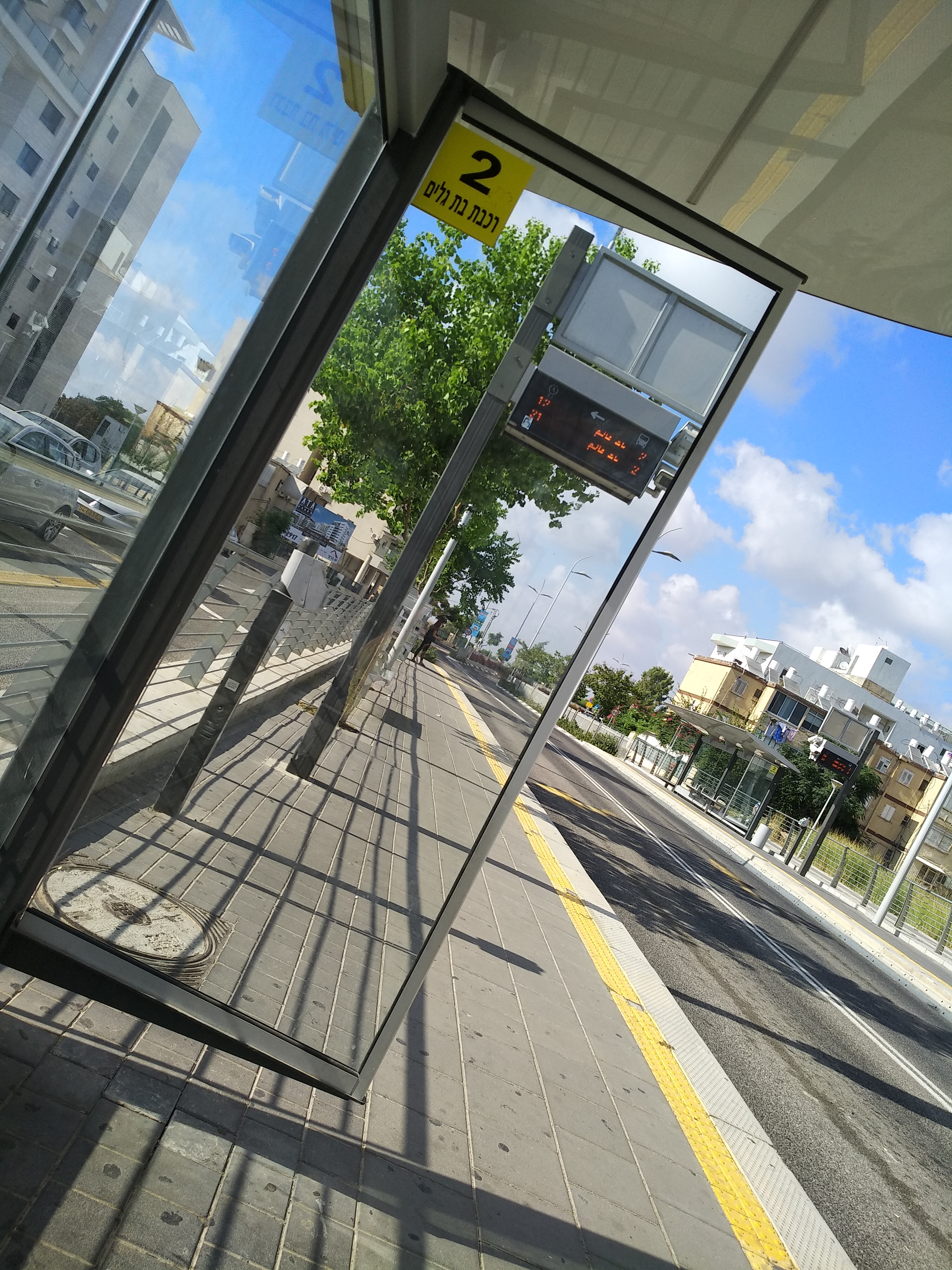 Taken by Dorin D.
See HaAtzmaut stop, Kiryat Ata, on the map
Public transit to HaAtzmaut stop (ID: 47447) in Kiryat Ata
Looking for directions to HaAtzmaut in Kiryat Ata, Israel?
Download the Moovit App to find the current schedule and step-by-step directions for Bus routes that pass through HaAtzmaut.
Looking for the nearest stops closest to HaAtzmaut ? Check out this list of closest stops to your destination: Kiryat Motzkin Railway Station; Rabin Road/Bialik/HaAtzmaut; Rabin/Hankin; Hankin/Sokolov; Health Clinic/HaAtzmaut; Nordau/Hankin; HaMeginim/Sokolov.
Bus: 166 - Accessibility by advance request ♿, 168, 2, 30, 165 - Accessible by advance request ♿, 166 - Accessibility by advance request ♿, 255, 341, 21, 23, 24, 25, 29, 72, 74, 80A, 96.Israel Railways: Beer Sheva Center - Carmiel, Beer Sheva Center - Nahariya, Beer Sheva Center - Kiryat Motzkin, Herzliya - Nahariya, Hof HaCarmel - Carmiel.
We make riding on public transit to HaAtzmaut easy, which is why over 1.5 million users, including users in Kiryat Ata trust Moovit as the best app for public transit.
Use the app to navigate to popular places including to the airport, hospital, stadium, grocery store, mall, coffee shop, school, college, and university.
HaAtzmaut stop’s code is 47447
The first line to this stop is 2, at 05:08, and the last line is 2 at 00:38.
This stop serves Superbus’s lines
- Kiryat Motzkin Railway Station
Israel Railways station near HaAtzmaut station
- Rabin Road/Bialik/HaAtzmaut,
- Rabin/Hankin,
- Hankin/Sokolov,
- Health Clinic/HaAtzmaut,
- Nordau/Hankin,
- HaMeginim/Sokolov
Bus stops near HaAtzmaut stop
- Nof HaGalil/Exit,
- Naomi Shemer/Yafa Yarkoni,
- Camp Bar Lev,
- Hulda Junction,
- Nesher Stadium,
- Ashdod Ad Halom Railway,
- Mashabim Junction,
- Ein Bokek,
- Yamit 2000/Solomon Bay,
- Ein HaBesor Junction,
- Nahal Oz,
- Bnei Brak Railway Station/Mivtza Kadesh,
- Nesi'ei Israel/Ofira Park,
- Shoham/Shaham,
- Israel Aquarium,
- Mount Scopus Terminal/Martin Buber,
- Home Front Command Base,
- Afula Cemetery,
- Military Base/Road 3507,
- Eshkol Regional Council Junction
Popular public transit stations in Kiryat Ata
Get around Kiryat Ata by public transit!
Traveling around Kiryat Ata has never been so easy. See step by step directions as you travel to any attraction, street or major public transit station. View bus and train schedules, arrival times, service alerts and detailed routes on a map, so you know exactly how to get to anywhere in Kiryat Ata.
When traveling to any destination around Kiryat Ata use Moovit's Live Directions with Get Off Notifications to know exactly where and how far to walk, how long to wait for your line, and how many stops are left. Moovit will alert you when it's time to get off — no need to constantly re-check whether yours is the next stop.
Wondering how to use public transit in Kiryat Ata or how to pay for public transit in Kiryat Ata? Moovit public transit app can help you navigate your way with public transit easily, and at minimum cost. It includes public transit fees, ticket prices, and costs. Looking for a map of Kiryat Ata public transit lines? Moovit public transit app shows all public transit maps in Kiryat Ata with all Bus, Israel Railways, Light Rail, Carmelit / Rachbalit and Shuttle routes and stops on an interactive map.
Israel has 5 transit type(s), including: Bus, Israel Railways, Light Rail, Carmelit / Rachbalit and Shuttle, operated by several transit agencies, including Dan, Tel Aviv Light Rail - Tevel - Red Line, Israel Railways, Egged, Metropoline, Kavim, Electra Afikim, Nateev Express, Extra, Extra Jerusalem, Jerusalem Light Rail - Kfir, Egged Jerusalem Envelope Route, Dan Badarom, Dan Beer-Sheva and Electra Afikim Transport