Kanaf stop - Friday schedule
| Line | Direction | Time |
|---|---|---|
| 330 | Ben Gurion Airport | 07:52 |
| 330 | Ben Gurion Airport | 13:52 |
Directions to Kanaf stop (Ben Gurion Airport) with public transit
The following transit lines have routes that pass near Kanaf
 Bus: 13, 239, 444, 445, 9 ♿.
- Israel Railways: Herzliya - Jerusalem/Yitzhak Navon, Nahariya - Modi'in Center, Binyamina - Ben Gurion Airport, Herzliya - Jerusalem/Yitzhak Navon, Herzliya - Ben Gurion Airport.
- Shuttle: 801 - Fast Lane Kirya Tel Aviv, 802 - Fast Lane Bursa R"G, 803 - HaMaslul HaMahir Rothschild TLV.
How to get to Kanaf stop by bus?
Click on the bus route to see step by step directions with maps, line arrival times and updated time schedules.
How to get to Kanaf stop by Israel Railways?
Click on the Israel Railways route to see step by step directions with maps, line arrival times and updated time schedules.
Shuttle stations near Kanaf station in Ben Gurion Airport
- Shapirim West Parking A/Drop Off, 2 min walk,
Bus stops near Kanaf stop in Ben Gurion Airport
- Ben Gurion Airport Terminal 3/Transit Level, 13 min walk,
- Ben Gurion Airport Terminal 3/Level 2, 14 min walk,
Israel Railways stations near Kanaf station in Ben Gurion Airport
- Ben Gurion Airport Station, 43 min walk,
- Lod-Ganei Aviv Railway, 52 min walk,
- Kfar Chabad Railway, 56 min walk,
Bus lines to Kanaf stop in Ben Gurion Airport
- 13, Shoham,
- 239, Ramla,
- 444, Ra'anana,
- 445, Tel Aviv-Yafo,
- 446, Petah Tikva,
- 476, Lod,
- 9 ♿, Ben Gurion Airport Terminal 3/Level 2,
- 330, Ashdod,
- 469, Beer Sheva,
- 905, Ben Gurion Airport,
What are the closest stations to Kanaf?
The closest stations to Kanaf are:
- Shapirim West Parking A/Drop Off is 144 meters away, 2 min walk.
- Ben Gurion Airport Terminal 3/Transit Level is 983 meters away, 13 min walk.
- Ben Gurion Airport Terminal 3/Level 2 is 1041 meters away, 14 min walk.
- Ben Gurion Airport Station is 3346 meters away, 43 min walk.
- Lod-Ganei Aviv Railway is 4032 meters away, 52 min walk.
- Kfar Chabad Railway is 4368 meters away, 56 min walk.
Which bus lines stop near Kanaf?
These bus lines stop near Kanaf: 13, 239, 444, 445, 9 ♿.
Which Israel Railways lines stop near Kanaf?
These Israel Railways lines stop near Kanaf: Herzliya - Jerusalem/Yitzhak Navon, Nahariya - Modi'in Center.
What’s the nearest bus station to Kanaf in Ben Gurion Airport?
The nearest bus station to Kanaf in Ben Gurion Airport is Ben Gurion Airport Terminal 3/Transit Level. It’s a 13 min walk away.
What’s the nearest shuttle station to Kanaf in Ben Gurion Airport?
The nearest shuttle station to Kanaf in Ben Gurion Airport is Shapirim West Parking A/Drop Off. It’s a 2 min walk away.
What time is the first Israel Railways to Kanaf in Ben Gurion Airport?
The Herzliya - Jerusalem/Yitzhak Navon is the first Israel Railways that goes to Kanaf in Ben Gurion Airport. It stops nearby at 3:01 AM.
What time is the last Israel Railways to Kanaf in Ben Gurion Airport?
The Nahariya - Ben Gurion Airport is the last Israel Railways that goes to Kanaf in Ben Gurion Airport. It stops nearby at 4:47 AM.
What time is the first bus to Kanaf in Ben Gurion Airport?
The 445 is the first bus that goes to Kanaf in Ben Gurion Airport. It stops nearby at 3:00 AM.
What time is the last bus to Kanaf in Ben Gurion Airport?
The 469 is the last bus that goes to Kanaf in Ben Gurion Airport. It stops nearby at 4:29 AM.
What time is the first shuttle to Kanaf in Ben Gurion Airport?
The 801 - Fast Lane Kirya Tel Aviv is the first shuttle that goes to Kanaf in Ben Gurion Airport. It stops nearby at 6:00 AM.
What time is the last shuttle to Kanaf in Ben Gurion Airport?
The 801 - Fast Lane Kirya Tel Aviv is the last shuttle that goes to Kanaf in Ben Gurion Airport. It stops nearby at 11:27 PM.
Kanaf station
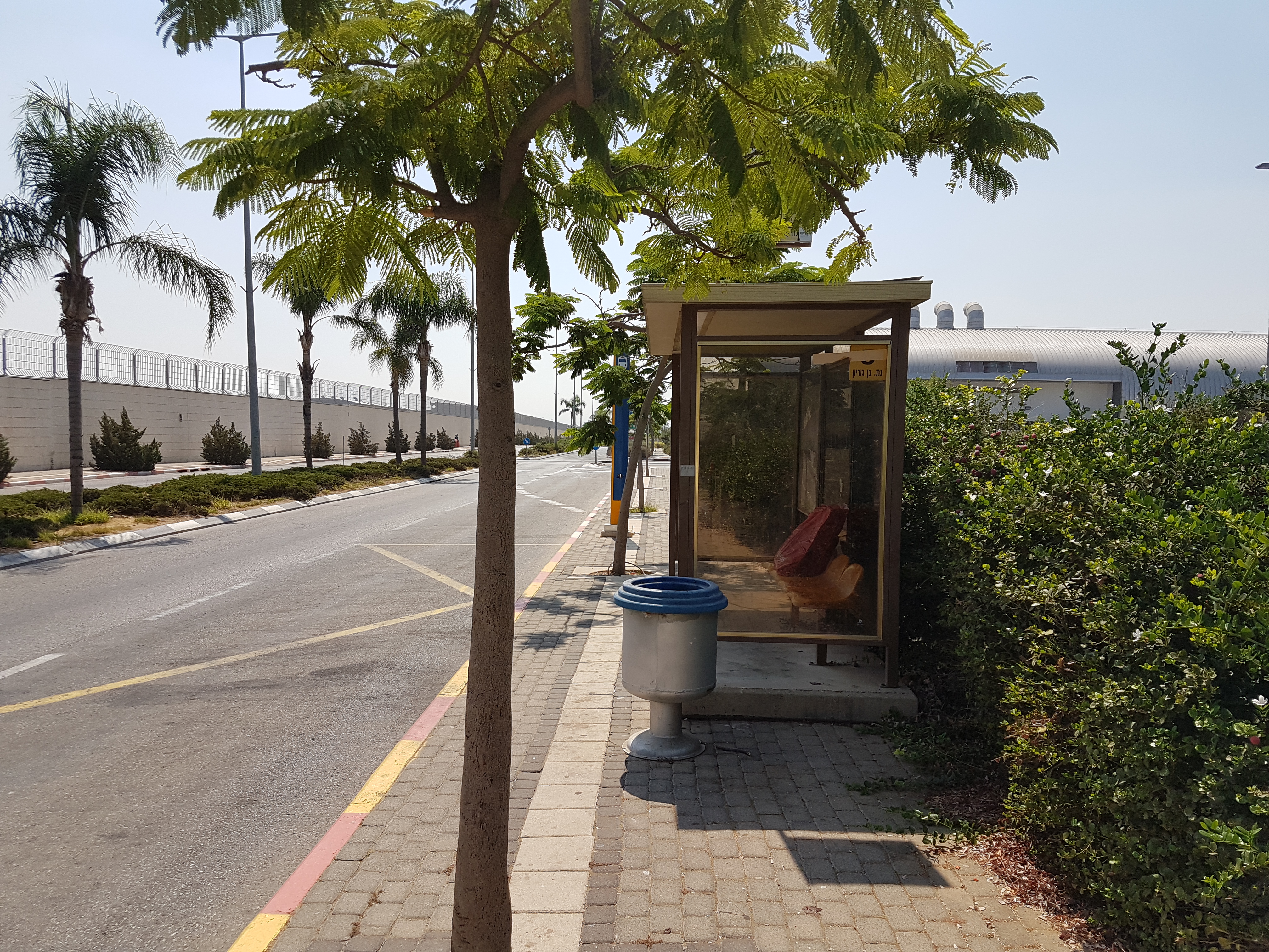 Taken by Anonymous
See Kanaf stop, Ben Gurion Airport, on the map
Public transit to Kanaf stop (ID: 37540) in Ben Gurion Airport
Looking for directions to Kanaf in Ben Gurion Airport, Israel?
Download the Moovit App to find the current schedule and step-by-step directions for Bus, Israel Railways or Light Rail routes that pass through Kanaf.
Looking for the nearest stops closest to Kanaf ? Check out this list of closest stops to your destination: Shapirim West Parking A/Drop Off; Ben Gurion Airport Terminal 3/Transit Level; Ben Gurion Airport Terminal 3/Level 2; Ben Gurion Airport Station; Lod-Ganei Aviv Railway; Kfar Chabad Railway.
Bus: 13, 239, 444, 445, 9 ♿, 446, 330, 469, 905.Israel Railways: Herzliya - Jerusalem/Yitzhak Navon, Nahariya - Modi'in Center, Binyamina - Ben Gurion Airport, Herzliya - Jerusalem/Yitzhak Navon, Herzliya - Ben Gurion Airport, Jerusalem/Yitzhak Navon - Herzliya, Modi'in Center - Nahariya, Ashkelon - Binyamina, Ashkelon - Tel Aviv Center, Beit Shemesh - Netanya, Beit Shemesh - Tel Aviv Center, Binyamina - Ashkelon, Hadera West - Rehovot, Rehovot - Hadera West, Tel Aviv HaHagana - Ashkelon.Shuttle: 801 - Fast Lane Kirya Tel Aviv, 802 - Fast Lane Bursa R"G, 803 - HaMaslul HaMahir Rothschild TLV.
We make riding on public transit to Kanaf easy, which is why over 1.5 million users, including users in Ben Gurion Airport trust Moovit as the best app for public transit.
Use the app to navigate to popular places including to the airport, hospital, stadium, grocery store, mall, coffee shop, school, college, and university.
Kanaf stop’s code is 37540
The first line to this stop is 330, at 07:52, and the last line is 330 at 13:52.
This stop serves Kavim and Electra Afikim’s lines
- Shapirim West Parking A/Drop Off
Shuttle station near Kanaf station
- Ben Gurion Airport Terminal 3/Transit Level,
- Ben Gurion Airport Terminal 3/Level 2
Bus stops near Kanaf stop
- Ben Gurion Airport Station,
- Lod-Ganei Aviv Railway,
- Kfar Chabad Railway
Israel Railways stations near Kanaf station
- Lot Hotel,
- Bat Yam Amphitheater/Independence Boulevard,
- Yitzhak Rabin Road/Derech HaShalom,
- Kiryat Ekron/Road 411,
- Hutzot HaMifratz,
- Gan Yavne Junction,
- Haifa Hof HaCarmel Station,
- Rehovot Central Station/Drop Off,
- Jaffa Gate/Jaffa,
- Hillel Yaffe Hospital,
- Shimshon Junction,
- Nahalal Junction,
- Galilee Medical Center,
- Savidor Central Railway Station/Modai Bridge,
- Rishon LeZion Moshe Dayan Station,
- Ramat Raziel B,
- Barzilai Hospital,
- Rehovot Station,
- Herzliya Junction,
- Camp Ben Ami/Entrance
Popular public transit stations in Ben Gurion Airport
Get around Ben Gurion Airport by public transit!
Traveling around Ben Gurion Airport has never been so easy. See step by step directions as you travel to any attraction, street or major public transit station. View bus and train schedules, arrival times, service alerts and detailed routes on a map, so you know exactly how to get to anywhere in Ben Gurion Airport.
When traveling to any destination around Ben Gurion Airport use Moovit's Live Directions with Get Off Notifications to know exactly where and how far to walk, how long to wait for your line, and how many stops are left. Moovit will alert you when it's time to get off — no need to constantly re-check whether yours is the next stop.
Wondering how to use public transit in Ben Gurion Airport or how to pay for public transit in Ben Gurion Airport? Moovit public transit app can help you navigate your way with public transit easily, and at minimum cost. It includes public transit fees, ticket prices, and costs. Looking for a map of Ben Gurion Airport public transit lines? Moovit public transit app shows all public transit maps in Ben Gurion Airport with all Bus, Israel Railways, Light Rail, Carmelit / Rachbalit and Shuttle routes and stops on an interactive map.
Israel has 5 transit type(s), including: Bus, Israel Railways, Light Rail, Carmelit / Rachbalit and Shuttle, operated by several transit agencies, including Dan, Tel Aviv Light Rail - Tevel - Red Line, Israel Railways, Egged, Metropoline, Kavim, Electra Afikim, Nateev Express, Extra, Extra Jerusalem, Jerusalem Light Rail - Kfir, Egged Jerusalem Envelope Route, Dan Badarom, Dan Beer-Sheva and Electra Afikim Transport