מחלף אונו stop - Friday schedule
| Line | Direction | Time |
|---|---|---|
| 427 | ירושלים | 06:16 |
| 427 | ירושלים | 07:16 |
| 257 | בית אריה | 08:11 |
| 427 | ירושלים | 08:16 |
| 427 | ירושלים | 09:16 |
| 471 | ראש העין | 09:58 |
| 427 | ירושלים | 10:16 |
| 471 | ראש העין | 10:43 |
| 427 | ירושלים | 11:16 |
| 471 | ראש העין | 11:43 |
| 257 | בית אריה | 12:11 |
| 427 | ירושלים | 12:16 |
| 471 | ראש העין | 12:43 |
| 427 | ירושלים | 13:16 |
| 471 | ראש העין | 13:43 |
| 427 | ירושלים | 14:16 |
| 379 | אלעד | 14:24 |
| 379 | אלעד | 14:39 |
| 471 | ראש העין | 14:43 |
| 379 | אלעד | 14:54 |
| 379 | אלעד | 15:09 |
| 427 | ירושלים | 15:16 |
| 379 | אלעד | 15:24 |
| 379 | אלעד | 15:39 |
| 379 | אלעד | 15:54 |
Directions to מחלף אונו stop (קריית אונו) with public transit
The following transit lines have routes that pass near מחלף אונו
 Bus: 116, 379, 41, 56, 58.
How to get to מחלף אונו stop by bus?
Click on the bus route to see step by step directions with maps, line arrival times and updated time schedules.
Bus stops near מחלף אונו stop in קריית אונו
- ספורטק/דרך לוי אשכול, 3 min walk,
- מחלף אונו/דרך יצחק רבין, 6 min walk,
- מחלף אונו/כביש 471, 6 min walk,
- דרך לוי אשכול/יצחק רבין, 6 min walk,
- דרך רפאל איתן/הדובדבן, 7 min walk,
- ספורטק/לוי אשכול, 8 min walk,
Light Rail stations near מחלף אונו station in קריית אונו
- תחנת רכבת קלה קרול, 27 min walk,
Bus lines to מחלף אונו stop in קריית אונו
- 41, פתח תקווה,
- 56, יהוד,
- 58, רמת גן,
- 77, אור יהודה,
- 85, בני ברק,
- 116, קריית אונו,
- 137, יהוד,
- 139, ראשון לציון,
- 256, גני תקווה,
- 446, נמל תעופה בן גוריון,
- 64, פתח תקווה,
- 75, גני תקווה,
- 87, רמת גן,
- 87א, רמת גן,
- 143, חולון,
- 251, קריית אונו,
- 257, בית אריה,
- 287, רמת גן,
- 364, פתח תקווה,
- 372 - הנגשה בהזמנה מראש ♿, פתח תקווה,
What are the closest stations to מחלף אונו?
The closest stations to מחלף אונו are:
- ספורטק/דרך לוי אשכול is 192 meters away, 3 min walk.
- מחלף אונו/דרך יצחק רבין is 400 meters away, 6 min walk.
- מחלף אונו/כביש 471 is 421 meters away, 6 min walk.
- דרך לוי אשכול/יצחק רבין is 443 meters away, 6 min walk.
- דרך רפאל איתן/הדובדבן is 488 meters away, 7 min walk.
- ספורטק/לוי אשכול is 579 meters away, 8 min walk.
- תחנת רכבת קלה קרול is 2072 meters away, 27 min walk.
Which bus lines stop near מחלף אונו?
These bus lines stop near מחלף אונו: 116, 379, 41.
What’s the nearest light rail station to מחלף אונו in קריית אונו?
The nearest light rail station to מחלף אונו in קריית אונו is תחנת רכבת קלה קרול. It’s a 27 min walk away.
What’s the nearest bus station to מחלף אונו in קריית אונו?
The nearest bus station to מחלף אונו in קריית אונו is ספורטק/דרך לוי אשכול. It’s a 3 min walk away.
What time is the first light rail to מחלף אונו in קריית אונו?
The R1 is the first light rail that goes to מחלף אונו in קריית אונו. It stops nearby at 5:33 AM.
What time is the last light rail to מחלף אונו in קריית אונו?
The R1 is the last light rail that goes to מחלף אונו in קריית אונו. It stops nearby at 12:46 AM.
What time is the first bus to מחלף אונו in קריית אונו?
The 599 is the first bus that goes to מחלף אונו in קריית אונו. It stops nearby at 3:38 AM.
What time is the last bus to מחלף אונו in קריית אונו?
The 64 is the last bus that goes to מחלף אונו in קריית אונו. It stops nearby at 1:58 AM.
מחלף אונו station
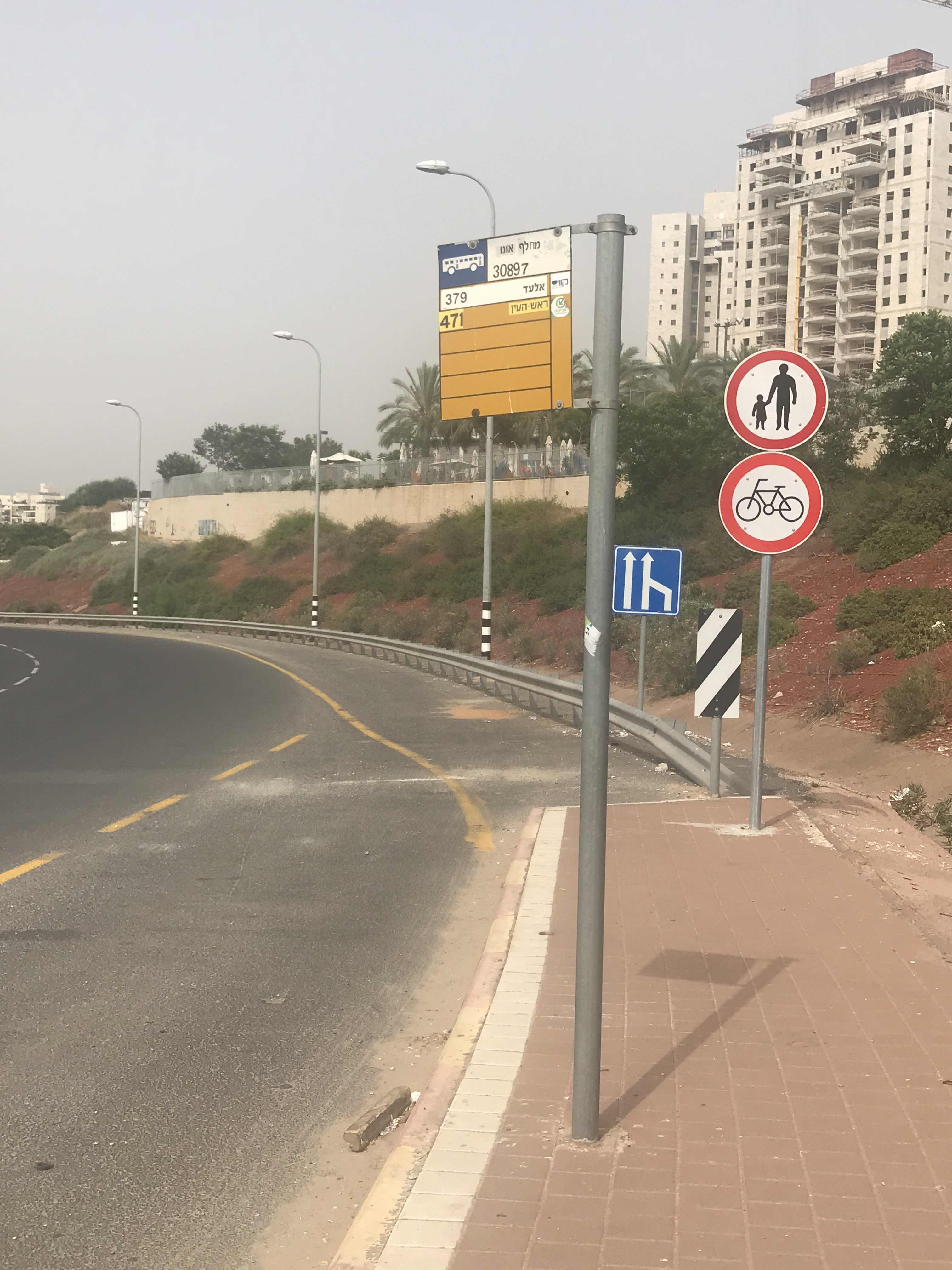 Taken by Anonymous
See מחלף אונו stop, קריית אונו, on the map
Public transit to מחלף אונו stop (ID: 30897) in קריית אונו
Looking for directions to מחלף אונו in קריית אונו, Israel?
Download the Moovit App to find the current schedule and step-by-step directions for Bus or Light Rail routes that pass through מחלף אונו.
Looking for the nearest stops closest to מחלף אונו ? Check out this list of closest stops to your destination: ספורטק/דרך לוי אשכול; מחלף אונו/דרך יצחק רבין; מחלף אונו/כביש 471; דרך לוי אשכול/יצחק רבין; דרך רפאל איתן/הדובדבן; ספורטק/לוי אשכול; תחנת רכבת קלה קרול.
Bus: 116, 379, 41, 56, 58, 77, 85, 64, 75, 87, 87א, 143, 166, 180, 180, 280, 284, 710, 15, 8, 28, 68, 168.
We make riding on public transit to מחלף אונו easy, which is why over 1.5 million users, including users in קריית אונו trust Moovit as the best app for public transit.
Use the app to navigate to popular places including to the airport, hospital, stadium, grocery store, mall, coffee shop, school, college, and university.
מחלף אונו stop’s code is 30897
The first line to this stop is 427, at 06:16, and the last line is 471 at 00:43.
This stop serves Egged Jerusalem Envelope Route, Metropoline, Electra Afikim and Tnufa’s lines
Popular routes from מחלף אונו stop, קריית אונו
- ספורטק/דרך לוי אשכול,
- מחלף אונו/דרך יצחק רבין,
- מחלף אונו/כביש 471,
- דרך לוי אשכול/יצחק רבין,
- דרך רפאל איתן/הדובדבן,
- ספורטק/לוי אשכול
Bus stops near מחלף אונו stop
- תחנת רכבת קלה קרול
Light Rail station near מחלף אונו station
- איקאה/היוזמה,
- ויצמן/ז'בוטינסקי,
- מושב בית עוזיאל,
- גבעת התחמושת/שרגאי,
- צונדק/אסירי ציון,
- צומת ראם מסמיה,
- מרכז רפואי לין/רוטשילד,
- מרכז רפואי שהם/דרך הנדיב,
- משרד החקלאות/דרך המכבים,
- צומת פוריה,
- מחלף קמה לדרום,
- קניון רמת אביב/ברודצקי,
- ספורטק/הרב עובדיה יוסף,
- הנביאים/יצחק שדה,
- צומת גוש עציון,
- מסוף חרש,
- מחלף גבעת שמואל/כביש 4,
- קיבוץ מעלה החמישה,
- צומת תפן,
- בית ספר יצחק נבון/ש''י עגנון
Popular public transit stations in קריית אונו
Get around קריית אונו by public transit!
Traveling around קריית אונו has never been so easy. See step by step directions as you travel to any attraction, street or major public transit station. View bus and train schedules, arrival times, service alerts and detailed routes on a map, so you know exactly how to get to anywhere in קריית אונו.
When traveling to any destination around קריית אונו use Moovit's Live Directions with Get Off Notifications to know exactly where and how far to walk, how long to wait for your line, and how many stops are left. Moovit will alert you when it's time to get off — no need to constantly re-check whether yours is the next stop.
Wondering how to use public transit in קריית אונו or how to pay for public transit in קריית אונו? Moovit public transit app can help you navigate your way with public transit easily, and at minimum cost. It includes public transit fees, ticket prices, and costs. Looking for a map of קריית אונו public transit lines? Moovit public transit app shows all public transit maps in קריית אונו with all Bus, Israel Railways, Light Rail, Carmelit / Rachbalit and Shuttle routes and stops on an interactive map.
Israel has 5 transit type(s), including: Bus, Israel Railways, Light Rail, Carmelit / Rachbalit and Shuttle, operated by several transit agencies, including דן (Dan), הרכבת הקלה תל אביב - תבל - הקו האדום, רכבת ישראל (Israel Railways), אגד (Egged), מטרופולין (Metropoline), קווים (Kavim), אלקטרה אפיקים (Electra Afikim), נתיב אקספרס (Nateev Express), אקסטרה (Extra), אקסטרה ירושלים, הרכבת הקלה ירושלים - כפיר, דרך אגד עוטף ירושלים, דן בדרום (Dan Badarom), דן באר שבע (Dan Beer-Sheva) and אלקטרה אפיקים תחבורה (Electra Afikim Tachbura)