Savyon/Hadar stop - Friday schedule
| Line | Direction | Time |
|---|---|---|
| 5 | Nazareth | 05:50 |
| 40 | Commercial Center/HaMaayan | 05:53 |
| 40 | Commercial Center/HaMaayan | 06:13 |
| 5 | Nazareth | 06:20 |
| 40 | Commercial Center/HaMaayan | 06:33 |
| 5 | Nazareth | 06:50 |
| 40 | Commercial Center/HaMaayan | 06:53 |
| 40 | Commercial Center/HaMaayan | 07:13 |
| 5 | Nazareth | 07:20 |
| 40 | Commercial Center/HaMaayan | 07:33 |
| 5 | Nazareth | 07:50 |
| 40 | Commercial Center/HaMaayan | 07:53 |
| 40 | Commercial Center/HaMaayan | 08:13 |
| 5 | Nazareth | 08:25 |
| 40 | Commercial Center/HaMaayan | 08:33 |
| 5 | Nazareth | 08:50 |
| 40 | Commercial Center/HaMaayan | 08:53 |
| 40 | Commercial Center/HaMaayan | 09:13 |
| 5 | Nazareth | 09:15 |
| 5 | Nazareth | 09:40 |
| 40 | Commercial Center/HaMaayan | 09:43 |
| 40 | Commercial Center/HaMaayan | 10:03 |
| 5 | Nazareth | 10:05 |
| 40 | Commercial Center/HaMaayan | 10:23 |
| 5 | Nazareth | 10:35 |
Directions to Savyon/Hadar stop (Nof HaGalil) with public transit
The following transit lines have routes that pass near Savyon/Hadar
 Bus: 27, 332 - Accessibility by advance reservation ♿, 356 - Accessible by advance request ♿, 431, 5.
How to get to Savyon/Hadar stop by bus?
Click on the bus route to see step by step directions with maps, line arrival times and updated time schedules.
Bus stops near Savyon/Hadar stop in Nof HaGalil
- Keshet School/Savyon, 3 min walk,
- Ariel Sharon Road/HaHatzav, 5 min walk,
- Yizrael/HaHatzav, 7 min walk,
- Ariel Sharon Road/Savyon, 7 min walk,
- Nof HaGalil Market, 14 min walk,
- Nof HaGalil Market/HaTzionut, 17 min walk,
Bus lines to Savyon/Hadar stop in Nof HaGalil
- 5, Nazareth,
- 12, Nof HaGalil,
- 16, Nazareth Illit,
- 22A, Kafr Kana,
- 34, Nazareth Illit,
- 40, Nof HaGalil Market,
- 44, Commercial Center/HaMaayan,
- 74, Ma'ale Yitzhak/Admor of Belz,
- 75, Netufa School/Yakinton,
- 2, Nazareth Illit,
- 38, Migdal HaEmek,
- 39, Admor of Belz/Dover Shalom,
- 56, Al-Jalil/North Entrance,
- 87, Nazareth,
- 332 - Accessibility by advance reservation ♿, Nof HaGalil,
- 338, Haifa,
- 340, Nazareth Illit,
- 341, Haifa,
- 342, Nof HaGalil,
- 356 - Accessible by advance request ♿, Nof HaGalil,
What are the closest stations to Savyon/Hadar?
The closest stations to Savyon/Hadar are:
- Keshet School/Savyon is 210 meters away, 3 min walk.
- Ariel Sharon Road/HaHatzav is 363 meters away, 5 min walk.
- Yizrael/HaHatzav is 491 meters away, 7 min walk.
- Ariel Sharon Road/Savyon is 513 meters away, 7 min walk.
- Nof HaGalil Market is 1049 meters away, 14 min walk.
- Nof HaGalil Market/HaTzionut is 1282 meters away, 17 min walk.
Which bus lines stop near Savyon/Hadar?
These bus lines stop near Savyon/Hadar: 27, 332 - Accessibility by advance reservation ♿, 356 - Accessible by advance request ♿, 431, 5, 56.
What’s the nearest bus station to Savyon/Hadar in Nof HaGalil?
The nearest bus station to Savyon/Hadar in Nof HaGalil is Keshet School/Savyon. It’s a 3 min walk away.
What time is the first bus to Savyon/Hadar in Nof HaGalil?
The 340 is the first bus that goes to Savyon/Hadar in Nof HaGalil. It stops nearby at 3:42 AM.
What time is the last bus to Savyon/Hadar in Nof HaGalil?
The 39 is the last bus that goes to Savyon/Hadar in Nof HaGalil. It stops nearby at 1:17 AM.
Savyon/Hadar station
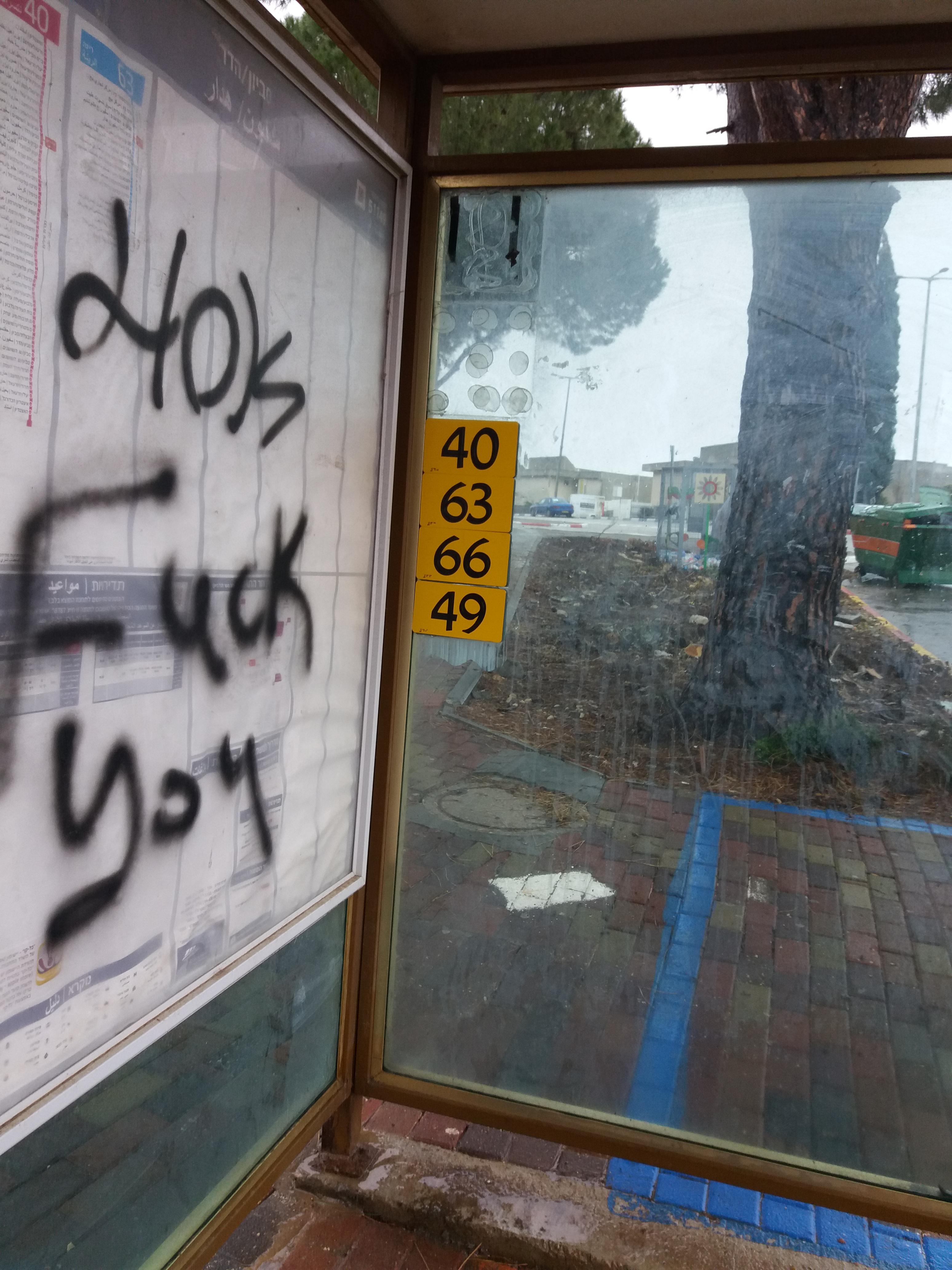 Taken by جوجوام ع.
See Savyon/Hadar stop, Nof HaGalil, on the map
Public transit to Savyon/Hadar stop (ID: 51149) in Nof HaGalil
Looking for directions to Savyon/Hadar in Nof HaGalil, Israel?
Download the Moovit App to find the current schedule and step-by-step directions for Bus routes that pass through Savyon/Hadar.
Looking for the nearest stops closest to Savyon/Hadar ? Check out this list of closest stops to your destination: Keshet School/Savyon; Ariel Sharon Road/HaHatzav; Yizrael/HaHatzav; Ariel Sharon Road/Savyon; Nof HaGalil Market; Nof HaGalil Market/HaTzionut.
Bus: 27, 332 - Accessibility by advance reservation ♿, 356 - Accessible by advance request ♿, 431, 5, 56, 12, 16, 22A, 34, 2, 38, 39, 87, 73, 76, 3, 24, 26, 45, 52, 36, 81, 308, 352, 353.
We make riding on public transit to Savyon/Hadar easy, which is why over 1.5 million users, including users in Nof HaGalil trust Moovit as the best app for public transit.
Use the app to navigate to popular places including to the airport, hospital, stadium, grocery store, mall, coffee shop, school, college, and university.
Savyon/Hadar stop’s code is 51149
The first line to this stop is 5, at 05:50, and the last line is 5 at 22:35.
This stop serves SHAM (Nazareth-unbs)’s lines
- Keshet School/Savyon,
- Ariel Sharon Road/HaHatzav,
- Yizrael/HaHatzav,
- Ariel Sharon Road/Savyon,
- Nof HaGalil Market,
- Nof HaGalil Market/HaTzionut
Bus stops near Savyon/Hadar stop
- HaNegev Junction,
- Kfar Blum/Road 9778,
- Ramla Station,
- Camp Mashabim,
- HaMasger/HaRechev,
- Al Al Junction,
- Rishon LeTzion HaRishonim Station,
- Nachshon Junction,
- Rehovot/Gedera,
- Ofer Camp,
- Tel Regev/Haifa Cemetery,
- Beit Hillel Military Base,
- Lehavim Rahat Station,
- HaZahav Mall Terminal,
- Sderot Railway Station,
- Hazon Ish/Ramat Shlomo Terminal,
- Mor Institute/Zeev Jabotinsky Road,
- Reem Masmiya Junction,
- Petah Tikva Segula Railway Station,
- Sha'arei Yerushalayim/Lifta
Popular public transit stations in Nof HaGalil
Get around Nof HaGalil by public transit!
Traveling around Nof HaGalil has never been so easy. See step by step directions as you travel to any attraction, street or major public transit station. View bus and train schedules, arrival times, service alerts and detailed routes on a map, so you know exactly how to get to anywhere in Nof HaGalil.
When traveling to any destination around Nof HaGalil use Moovit's Live Directions with Get Off Notifications to know exactly where and how far to walk, how long to wait for your line, and how many stops are left. Moovit will alert you when it's time to get off — no need to constantly re-check whether yours is the next stop.
Wondering how to use public transit in Nof HaGalil or how to pay for public transit in Nof HaGalil? Moovit public transit app can help you navigate your way with public transit easily, and at minimum cost. It includes public transit fees, ticket prices, and costs. Looking for a map of Nof HaGalil public transit lines? Moovit public transit app shows all public transit maps in Nof HaGalil with all Bus, Israel Railways, Light Rail, Carmelit / Rachbalit and Shuttle routes and stops on an interactive map.
Israel has 5 transit type(s), including: Bus, Israel Railways, Light Rail, Carmelit / Rachbalit and Shuttle, operated by several transit agencies, including Dan, Tel Aviv Light Rail - Tevel - Red Line, Israel Railways, Egged, Metropoline, Kavim, Electra Afikim, Nateev Express, Extra, Extra Jerusalem, Jerusalem Light Rail - Kfir, Egged Jerusalem Envelope Route, Dan Badarom, Dan Beer-Sheva and Electra Afikim Transport