עמיר מרכז stop - Friday schedule
| Line | Direction | Time |
|---|---|---|
| 30 | כפר סאלד | 06:50 |
| 30 | קריית שמונה | 07:33 |
| 30 | כפר סאלד | 08:45 |
| 30 | קריית שמונה | 09:28 |
| 30 | כפר סאלד | 10:45 |
| 30 | קריית שמונה | 11:28 |
| 30 | כפר סאלד | 12:45 |
| 30 | קריית שמונה | 13:28 |
| 30 | כפר סאלד | 14:45 |
| 30 | קריית שמונה | 15:28 |
Directions to עמיר מרכז stop with public transit
The following transit lines have routes that pass near עמיר מרכז
 Bus: 258, 30, 54, 59.
How to get to עמיר מרכז stop by bus?
Click on the bus route to see step by step directions with maps, line arrival times and updated time schedules.
Bus stops near עמיר מרכז stop
- מסעף עמיר, 2 min walk,
Bus lines to עמיר מרכז stop
- 30, כפר סאלד,
- 54, קצרין,
- 59, קצרין,
- 258, מג'דל שמס,
- 258, מסעדה,
What are the closest stations to עמיר מרכז?
The closest stations to עמיר מרכז are:
- מסעף עמיר is 142 meters away, 2 min walk.
Which bus line stops near עמיר מרכז?
258 (מסעדה→קריית שמונה)
What’s the nearest bus station to עמיר מרכז?
The nearest bus station to עמיר מרכז is מסעף עמיר. It’s a 2 min walk away.
What time is the first bus to עמיר מרכז?
The 30 is the first bus that goes to עמיר מרכז. It stops nearby at 5:18 AM.
What time is the last bus to עמיר מרכז?
The 59 is the last bus that goes to עמיר מרכז. It stops nearby at 9:38 PM.
עמיר מרכז station
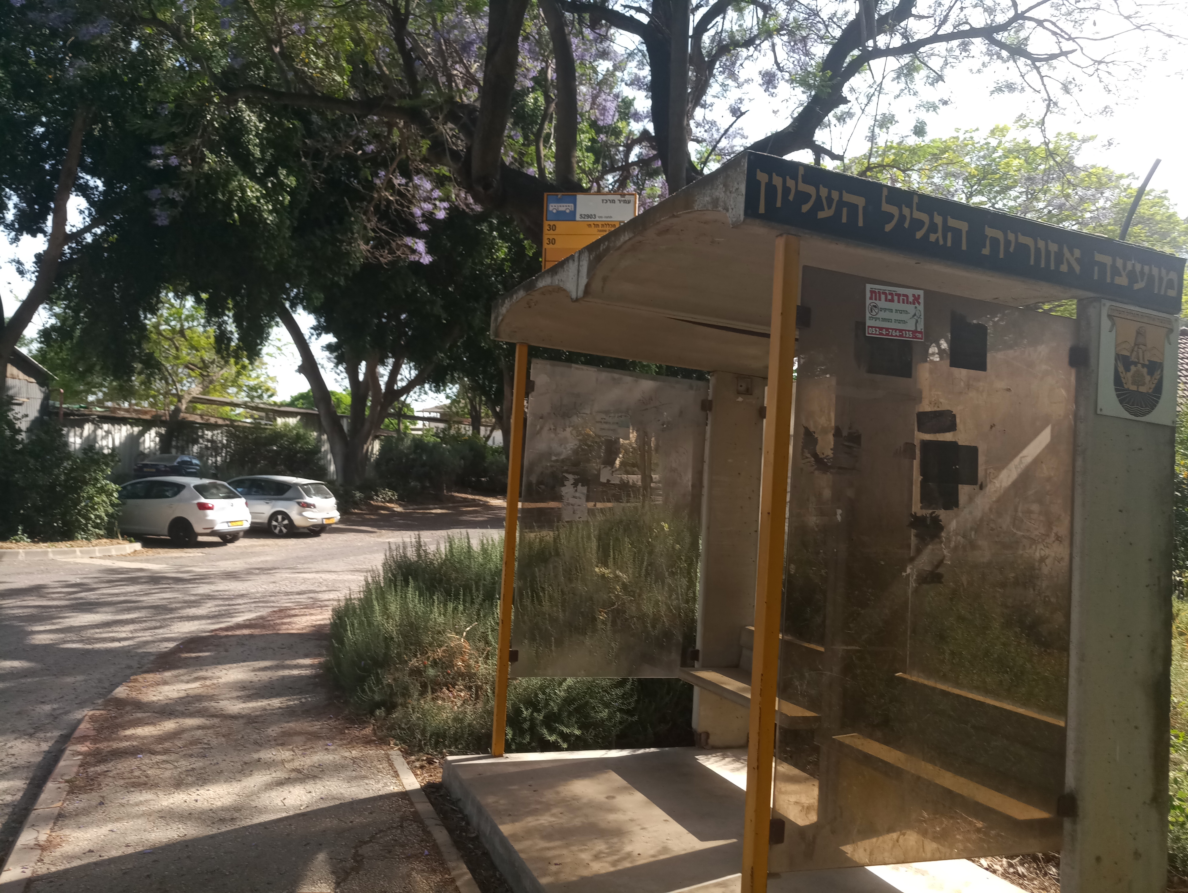 Taken by Adam P.
See עמיר מרכז stop on the map
Public transit to עמיר מרכז stop (ID: 52903)
Looking for directions to עמיר מרכז in עמיר, Israel?
Download the Moovit App to find the current schedule and step-by-step directions for Bus routes that pass through עמיר מרכז.
Looking for the nearest stops closest to עמיר מרכז ? Check out this list of closest stops to your destination: מסעף עמיר.
Bus: 258, 30, 54, 59.
We make riding on public transit to עמיר מרכז easy, which is why over 1.5 million users, including users in עמיר trust Moovit as the best app for public transit.
Use the app to navigate to popular places including to the airport, hospital, stadium, grocery store, mall, coffee shop, school, college, and university.
עמיר מרכז stop’s code is 52903
The first line to this stop is 30, at 06:50, and the last line is 30 at 15:28.
This stop serves Egged and Golan Regional Council’s lines
- מסעף עמיר
Bus stop near עמיר מרכז stop
- ת. מרכזית ירושלים קומה 3/רציפים,
- מחנה מצל''ח 6820,
- הבימה/שד' רוטשילד,
- צומת קסם,
- מחנה בירנית,
- קריית חינוך/שושנה פרסיץ,
- קריית ענבים/מלון כרמים,
- שד' ירושלים/שמחה הולצברג,
- דרך כוכב יעקוב,
- צומת חלפתא,
- אבנר חי שאקי ב,
- בית גוברין,
- נשיאי ישראל/פארק אופירה,
- מושב בית עוזיאל,
- תל חדיד,
- רכבת חדרה מערב,
- מדעטק/בלפור,
- צומת הבנקים/דרך חברון,
- כפר בלום/כביש 9778,
- צומת בית קמה למערב
Popular public transit stations in עמיר
Get around עמיר by public transit!
Traveling around עמיר has never been so easy. See step by step directions as you travel to any attraction, street or major public transit station. View bus and train schedules, arrival times, service alerts and detailed routes on a map, so you know exactly how to get to anywhere in עמיר.
When traveling to any destination around עמיר use Moovit's Live Directions with Get Off Notifications to know exactly where and how far to walk, how long to wait for your line, and how many stops are left. Moovit will alert you when it's time to get off — no need to constantly re-check whether yours is the next stop.
Wondering how to use public transit in עמיר or how to pay for public transit in עמיר? Moovit public transit app can help you navigate your way with public transit easily, and at minimum cost. It includes public transit fees, ticket prices, and costs. Looking for a map of עמיר public transit lines? Moovit public transit app shows all public transit maps in עמיר with all Bus, Israel Railways, Light Rail, Carmelit / Rachbalit and Shuttle routes and stops on an interactive map.
Israel has 5 transit type(s), including: Bus, Israel Railways, Light Rail, Carmelit / Rachbalit and Shuttle, operated by several transit agencies, including דן (Dan), הרכבת הקלה תל אביב - תבל - הקו האדום, רכבת ישראל (Israel Railways), אגד (Egged), מטרופולין (Metropoline), קווים (Kavim), אלקטרה אפיקים (Electra Afikim), נתיב אקספרס (Nateev Express), אקסטרה (Extra), אקסטרה ירושלים, הרכבת הקלה ירושלים - כפיר, דרך אגד עוטף ירושלים, דן בדרום (Dan Badarom), דן באר שבע (Dan Beer-Sheva) and אלקטרה אפיקים תחבורה (Electra Afikim Tachbura)