14th/4th Ave SW stop - Saturday schedule
| Line | Direction | Time |
|---|---|---|
| YELLO | East Walmart | 7:02 AM |
| YELLO | East Walmart | 7:32 AM |
| YELLO | East Walmart | 8:02 AM |
| YELLO | East Walmart | 8:32 AM |
| YELLO | East Walmart | 9:02 AM |
| YELLO | East Walmart | 9:32 AM |
| YELLO | East Walmart | 10:02 AM |
| YELLO | East Walmart | 11:02 AM |
| YELLO | East Walmart | 12:02 PM |
| YELLO | East Walmart | 1:02 PM |
| YELLO | East Walmart | 2:02 PM |
| YELLO | East Walmart | 3:02 PM |
| YELLO | East Walmart | 3:32 PM |
| YELLO | East Walmart | 4:02 PM |
| YELLO | East Walmart | 4:32 PM |
| YELLO | East Walmart | 5:02 PM |
| YELLO | East Walmart | 5:32 PM |
| YELLO | East Walmart | 6:02 PM |
| YELLO | East Walmart | 7:02 PM |
| YELLO | East Walmart | 8:02 PM |
Directions to 14th/4th Ave SW stop (Sioux Falls) with public transit
The following transit lines have routes that pass near 14th/4th Ave SW
 Bus: YELLO, BLACK, BLUE, GRAY, GREEN.
How to get to 14th/4th Ave SW stop by bus?
Click on the bus route to see step by step directions with maps, line arrival times and updated time schedules.
Bus stops near 14th/4th Ave SW stop in Sioux Falls
- 14th/6th Ave NE, 4 min walk,
- The Bus Stop (Tbs) Sam's Downtown Terminal, 6 min walk,
Bus lines to 14th/4th Ave SW stop in Sioux Falls
- YELLO, East Walmart,
- BLACK, Black N Cliff Ave,
- BLUE, Blue S Minnesota Ave, W 41St, Empire Mall,
- GRAY, Gray W 12th, Louise, Southwest Center,
- GREEN, Green N Minnesota, Premier Center, Southeast Tech,
- ORANG, Orange S Grange, Sanford Medical, Southwest Cente,
- PINK, Pink S Cliff Ave, Avera Medical, Lincoln High Sch,
- PURPL, Purple Rice, E 6th St, East Walmart,
- RED, Red E 10th St, East Walmart, One Stop,
What are the closest stations to 14th/4th Ave SW?
The closest stations to 14th/4th Ave SW are:
- 14th/6th Ave NE stop is 287 yards away, 4 min walk.
- The Bus Stop (Tbs) Sam's Downtown Terminal is 447 yards away, 6 min walk.
Which bus line stops near 14th/4th Ave SW?
YELLO (East Walmart)
What’s the nearest bus station to 14th/4th Ave SW in Sioux Falls?
The nearest bus station to 14th/4th Ave SW in Sioux Falls is 14th/6th Ave NE. It’s a 4 min walk away.
What time is the first bus to 14th/4th Ave SW in Sioux Falls?
The BLACK is the first bus that goes to 14th/4th Ave SW in Sioux Falls. It stops nearby at 6:00 AM.
What time is the last bus to 14th/4th Ave SW in Sioux Falls?
The BLUE is the last bus that goes to 14th/4th Ave SW in Sioux Falls. It stops nearby at 8:53 PM.
14th/4th Ave SW station
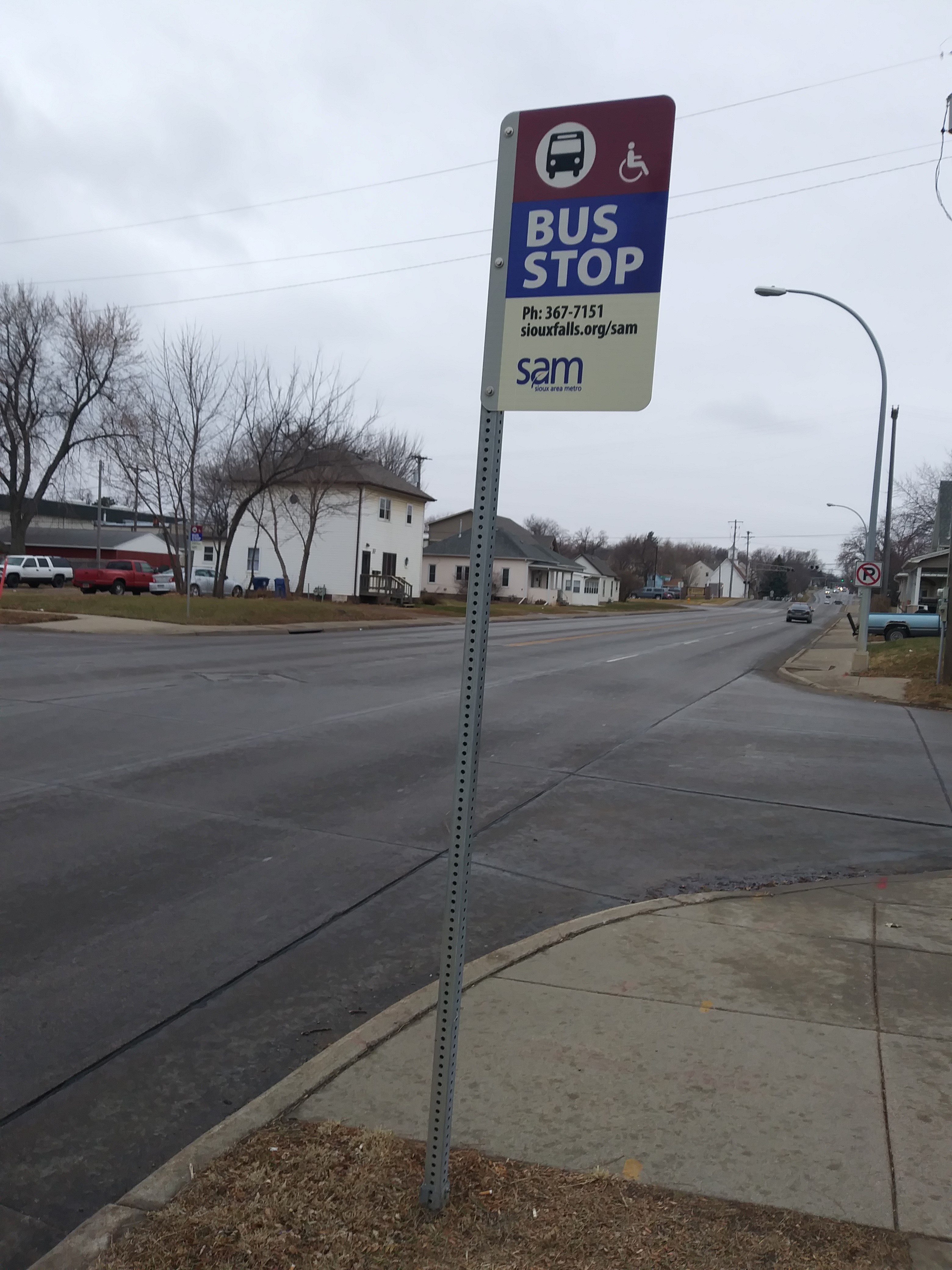 Taken by Michael M.
See 14th/4th Ave SW stop, Sioux Falls, on the map
Public transit to 14th/4th Ave SW stop (ID: 767507) in Sioux Falls
Looking for directions to 14th/4th Ave SW in Sioux Falls, United States?
Download the Moovit App to find the current schedule and step-by-step directions for Bus routes that pass through 14th/4th Ave SW.
Looking for the nearest stops closest to 14th/4th Ave SW ? Check out this list of closest stops to your destination: 14th/6th Ave NE; The Bus Stop (Tbs) Sam's Downtown Terminal.
Bus: YELLO, BLACK, BLUE, GRAY, GREEN, ORANG.
We make riding on public transit to 14th/4th Ave SW easy, which is why over 1.7 billion users, including users in Sioux Falls trust Moovit as the best app for public transit.
Use the app to navigate to popular places including to the airport, hospital, stadium, grocery store, mall, coffee shop, school, college, and university.
14th/4th Ave SW stop’s code is 767507
The first line to this stop is YELLO, at 7:02 AM, and the last line is YELLO at 8:02 PM.
This stop serves Sioux Area Metro’s lines
Popular routes from 14th/4th Ave SW stop, Sioux Falls
- 14th/6th Ave NE,
- The Bus Stop (Tbs) Sam's Downtown Terminal
Bus stops near 14th/4th Ave SW stop
- Career/ Lackey Pl SE,
- Louise/ Walmart Entrance NW,
- Minnesota/40th SE,
- Brookings/ Minnesota NW,
- Bahnson/6th NE (Mid-Block),
- 4th Ave E (Horizon Apts),
- E 10th/Blauvelt SW,
- 41st/West NE,
- Cliff/3rd NW,
- 26th St/Lorraine SE,
- Madison/Western NE,
- 12th/Petro NE (Mid-Block),
- 26th/Edna SW,
- 12th/Williams SW,
- Weber/6th NE,
- Cliff/26th NW,
- Cleveland/22nd SW,
- Grange/33rd SE,
- 18th/7th Ave SW,
- E 10th/Bahnson SW
Popular public transit stations in Sioux Falls
Get around Sioux Falls by public transit!
Traveling around Sioux Falls has never been so easy. See step by step directions as you travel to any attraction, street or major public transit station. View bus and train schedules, arrival times, service alerts and detailed routes on a map, so you know exactly how to get to anywhere in Sioux Falls.
When traveling to any destination around Sioux Falls use Moovit's Live Directions with Get Off Notifications to know exactly where and how far to walk, how long to wait for your line, and how many stops are left. Moovit will alert you when it's time to get off — no need to constantly re-check whether yours is the next stop.
Wondering how to use public transit in Sioux Falls or how to pay for public transit in Sioux Falls? Moovit public transit app can help you navigate your way with public transit easily, and at minimum cost. It includes public transit fees, ticket prices, and costs. Looking for a map of Sioux Falls public transit lines? Moovit public transit app shows all public transit maps in Sioux Falls with all bus routes and stops on an interactive map.
Sioux Falls has 1 transit type(s), including: bus, operated by several transit agencies, including Sioux Area Metro