21st St & Kitty Hawk Av stop - Monday schedule
| Line | Direction | Time |
|---|---|---|
| LOOP | NRG Station | 5:33 AM |
| LOOP | NRG Station | 5:53 AM |
| LOOP | NRG Station | 6:23 AM |
| LOOP | NRG Station | 6:48 AM |
| LOOP | NRG Station | 7:13 AM |
| LOOP | NRG Station | 7:28 AM |
| LOOP | NRG Station | 7:43 AM |
| LOOP | NRG Station | 7:58 AM |
| LOOP | NRG Station | 8:13 AM |
| LOOP | NRG Station | 8:28 AM |
| LOOP | NRG Station | 8:43 AM |
| LOOP | NRG Station | 8:58 AM |
| LOOP | NRG Station | 9:13 AM |
| LOOP | NRG Station | 9:33 AM |
| LOOP | NRG Station | 9:53 AM |
| LOOP | NRG Station | 10:13 AM |
| LOOP | NRG Station | 10:38 AM |
| LOOP | NRG Station | 11:03 AM |
| LOOP | NRG Station | 11:28 AM |
| LOOP | NRG Station | 11:53 AM |
| LOOP | NRG Station | 12:18 PM |
| LOOP | NRG Station | 12:43 PM |
| LOOP | NRG Station | 1:08 PM |
| LOOP | NRG Station | 1:33 PM |
| LOOP | NRG Station | 1:58 PM |
Directions to 21st St & Kitty Hawk Av stop (Philadelphia) with public transit
The following transit lines have routes that pass near 21st St & Kitty Hawk Av
 Bus: LOOP, 17, NAVY YARD CCE, 68.
- Metro: B1, B2.
How to get to 21st St & Kitty Hawk Av stop by bus?
Click on the bus route to see step by step directions with maps, line arrival times and updated time schedules.
How to get to 21st St & Kitty Hawk Av stop by metro?
Click on the metro route to see step by step directions with maps, line arrival times and updated time schedules.
Bus stops near 21st St & Kitty Hawk Av stop in Philadelphia
- Broad Street & Kitty Hawk Avenue, 13 min walk,
- Kitty Hawk @ Broad, 13 min walk,
- 26th St & Tastykake - 2, 13 min walk,
Metro stations near 21st St & Kitty Hawk Av station in Philadelphia
- NRG Station, 34 min walk,
Bus lines to 21st St & Kitty Hawk Av stop in Philadelphia
- 17, Broad-Pattison,
- LOOP, NRG Station,
- NAVY YARD CCE, Center City Express ,
- 68, 69th St Transit Center Via 26th-Langley,
What are the closest stations to 21st St & Kitty Hawk Av?
The closest stations to 21st St & Kitty Hawk Av are:
- Broad Street & Kitty Hawk Avenue stop is 1082 yards away, 13 min walk.
- Kitty Hawk @ Broad stop is 1095 yards away, 13 min walk.
- 26th St & Tastykake - 2 stop is 1110 yards away, 13 min walk.
- NRG Station is 2941 yards away, 34 min walk.
Which bus line stops near 21st St & Kitty Hawk Av?
LOOP (NRG Station)
Which metro line stops near 21st St & Kitty Hawk Av?
B1 (NRG)
What’s the nearest bus station to 21st St & Kitty Hawk Av in Philadelphia?
The nearest bus stations to 21st St & Kitty Hawk Av in Philadelphia are Broad Street & Kitty Hawk Avenue, Kitty Hawk @ Broad and 26th St & Tastykake - 2. The closest one is a 13 min walk away.
21st St & Kitty Hawk Av station
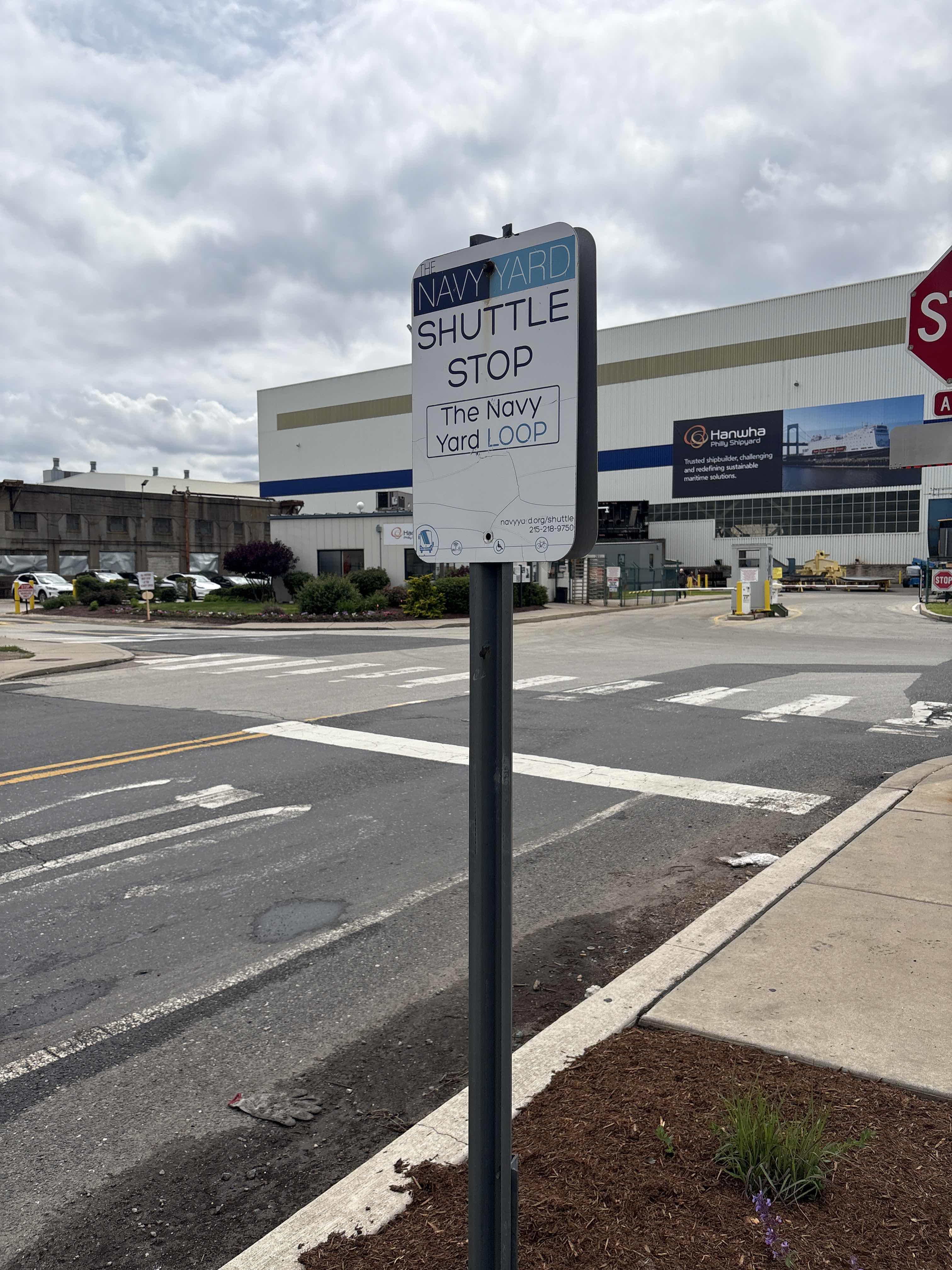 Taken by Anonymous
See 21st St & Kitty Hawk Av stop, Philadelphia, on the map
Public transit to 21st St & Kitty Hawk Av stop in Philadelphia
Looking for directions to 21st St & Kitty Hawk Av in Philadelphia, United States?
Download the Moovit App to find the current schedule and step-by-step directions for Bus or Metro routes that pass through 21st St & Kitty Hawk Av.
Looking for the nearest stops closest to 21st St & Kitty Hawk Av ? Check out this list of closest stops to your destination: Broad Street & Kitty Hawk Avenue; Kitty Hawk @ Broad; 26th St & Tastykake - 2; NRG Station.
Bus: LOOP, 17, NAVY YARD CCE, 68.Metro: B1, B2.
We make riding on public transit to 21st St & Kitty Hawk Av easy, which is why over 1.7 billion users, including users in Philadelphia trust Moovit as the best app for public transit.
Use the app to navigate to popular places including to the airport, hospital, stadium, grocery store, mall, coffee shop, school, college, and university.
The first line to this stop is LOOP, at 5:33 AM, and the last line is LOOP at 7:13 PM.
This stop serves Navy Yard’s lines
Popular routes from 21st St & Kitty Hawk Av stop, Philadelphia
- Broad Street & Kitty Hawk Avenue,
- Kitty Hawk @ Broad,
- 26th St & Tastykake - 2
Bus stops near 21st St & Kitty Hawk Av stop
- NRG Station
Metro station near 21st St & Kitty Hawk Av station
- 19th St & Wallace St,
- 19th St & Spruce St ,
- Mall Blvd & Court Blvd - FS,
- Edgemont Av & 12th St - FS,
- Spring Garden St & 8th St,
- Klockner Ave at Hamilton Lakes Dr,
- Chester,
- Spring Garden St & 5th St,
- Broad St & Carpenter St,
- Ambler,
- Somerset St & Kensington Av,
- Kroc Center,
- York Rd & Byberry Rd,
- 9th St & Market St,
- Cecil B Moore Av & 8th St ,
- Roosevelt Blvd & Pratt St,
- Reed St & 33rd St ,
- 21st St & Dauphin St,
- Wyoming,
- Lalor St at Rt-129
Popular public transit stations in Philadelphia
Get around Philadelphia by public transit!
Traveling around Philadelphia has never been so easy. See step by step directions as you travel to any attraction, street or major public transit station. View bus and train schedules, arrival times, service alerts and detailed routes on a map, so you know exactly how to get to anywhere in Philadelphia.
When traveling to any destination around Philadelphia use Moovit's Live Directions with Get Off Notifications to know exactly where and how far to walk, how long to wait for your line, and how many stops are left. Moovit will alert you when it's time to get off — no need to constantly re-check whether yours is the next stop.
Wondering how to use public transit in Philadelphia or how to pay for public transit in Philadelphia? Moovit public transit app can help you navigate your way with public transit easily, and at minimum cost. It includes public transit fees, ticket prices, and costs. Looking for a map of Philadelphia public transit lines? Moovit public transit app shows all public transit maps in Philadelphia with all Bus, Train, Metro, Light Rail and Cable Car routes and stops on an interactive map.
Philadelphia has 5 transit type(s), including: Bus, Train, Metro, Light Rail and Cable Car, operated by several transit agencies, including SEPTA Subway, SEPTA Rail, SEPTA, SEPTA Trolley, NJ Transit Rail, NJ Transit, Port Authority Transit Corporation, Navy Yard, Penn Transit, Drexel University, Pottstown Area Rapid Transit (PART), Fullington Tours, Chescobus, Amtrak and Greyhound-us