How to get to 280 S Decatur Blvd by bus?
Click on the bus route to see step by step directions with maps, line arrival times and updated time schedules.
From Lamarre Theater, Las Vegas
60 minFrom E Flamingo Rd / The Strip, Paradise
57 minFrom I-15 (Las Vegas Freeway), Paradise
65 minFrom Boulder Hwy / E Sahara Ave, Las Vegas
60 minFrom Fremont St / E Sahara Ave, Las Vegas
60 minFrom Smith's, Las Vegas
60 minFrom The Mob Museum, Las Vegas
38 minFrom Vanderpump Cocktail Garden, Paradise
59 minFrom Intersection Desert Inn & Pecos Mcleod, Winchester
75 minFrom Martin Luther King Blvd Las Vegas NV, Las Vegas
36 min
Bus stops near 280 S Decatur Blvd in Las Vegas
Bus lines to 280 S Decatur Blvd in Las Vegas
What are the closest stations to 280 S Decatur Blvd?
The closest stations to 280 S Decatur Blvd are:
- Eb Meadows After Decatur is 179 yards away, 3 min walk.
- Sb Decatur After Meadows is 236 yards away, 3 min walk.
Which bus lines stop near 280 S Decatur Blvd?
These bus lines stop near 280 S Decatur Blvd: 103, 207.
What’s the nearest bus station to 280 S Decatur Blvd in Las Vegas?
The nearest bus stations to 280 S Decatur Blvd in Las Vegas are Eb Meadows After Decatur and Sb Decatur After Meadows. The closest one is a 3 min walk away.
What time is the first bus to 280 S Decatur Blvd in Las Vegas?
The 103 is the first bus that goes to 280 S Decatur Blvd in Las Vegas. It stops nearby at 3:44 AM.
What time is the last bus to 280 S Decatur Blvd in Las Vegas?
The 103 is the last bus that goes to 280 S Decatur Blvd in Las Vegas. It stops nearby at 2:58 AM.
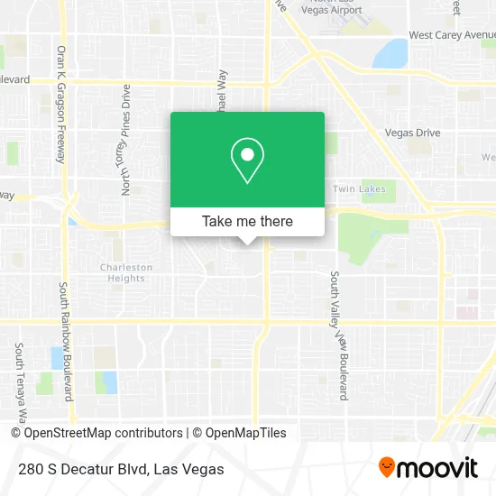
See 280 S Decatur Blvd, Las Vegas, on the map
Public Transit to 280 S Decatur Blvd in Las Vegas
Wondering how to get to 280 S Decatur Blvd in Las Vegas? Moovit helps you find the best way to get to 280 S Decatur Blvd with step-by-step directions from the nearest public transit station.
Moovit provides free maps and live directions to help you navigate through your city. View schedules, routes, timetables, and find out how long does it take to get to 280 S Decatur Blvd in real time.
Looking for the nearest stop or station to 280 S Decatur Blvd? Check out this list of stops closest to your destination: Eb Meadows After Decatur; Sb Decatur After Meadows.
Bus: 103, 207.
Want to see if there’s another route that gets you there at an earlier time? Moovit helps you find alternative routes or times. Get directions from and directions to 280 S Decatur Blvd easily from the Moovit App or Website.
We make riding to 280 S Decatur Blvd easy, which is why over 1.5 million users, including users in Las Vegas, trust Moovit as the best app for public transit. You don’t need to download an individual bus app or train app, Moovit is your all-in-one transit app that helps you find the best bus time or train time available.
For information on prices of bus, costs and ride fares to 280 S Decatur Blvd, please check the Moovit app.
Use the app to navigate to popular places including to the airport, hospital, stadium, grocery store, mall, coffee shop, school, college, and university.
280 S Decatur Blvd Address: Las Vegas, NV 89107 street in Las Vegas
- All Day Everyday Repair,
- A2Z Web Solution,
- Divination Spiritual Life Coaching,
- Promaster Home Repairs,
- Southern Nevada Health District,
- Petplanet LLC,
- Appliance Liquidation,
- Heat City Fades,
- Porrada Training Center,
- McDermott's Funeral & Cremation Services,
- Vegas Fitness VII,
- Tesla,
- Lux Beauty Supply,
- Decatur / Meadows Shopping Center,
- Total Glam Studio (Glam Nails by Shania),
- Opportunity Village Thrift Store,
- Harmony Ave & S Minnesota St,
- Virtuous Fingerprinting,
- Vegas Locksmith for Home Safe,
- Cardenas Meat Market #30
Places Near 280 S Decatur Blvd (Las Vegas)
- Arte Museum Las Vegas, Paradise,
- The Palms Casino Resort, Paradise,
- Las Vegas North Premium Outlets, Las Vegas,
- Fremont Street, Las Vegas,
- Area15, Las Vegas,
- Allegiant Stadium, Paradise,
- Welcome To Fabulous Las Vegas Sign, Paradise,
- Las Vegas South Premium Outlets, Enterprise,
- Zak Bagans Haunted Museum, Las Vegas,
- Gold & Silver Pawn Shop, Las Vegas,
- Walmart Supercenter, Las Vegas,
- Lee Canyon, Las Vegas,
- The Neon Museum, Las Vegas,
- Omega Mart, Las Vegas,
- Fremont St, Las Vegas,
- Town Square, Enterprise,
- Meow Wolf - Las Vegas (Meow Wolf's Omega Mart), Las Vegas,
- Koolsville Tattoos, Las Vegas,
- Las Vegas Premium Outlets-North, Enterprise,
- Fremont Street Experience, Las Vegas
How to get to popular places in Las Vegas with public transit
Get around Las Vegas by public transit!
Traveling around Las Vegas has never been so easy. See step by step directions as you travel to any attraction, street or major public transit station. View bus and train schedules, arrival times, service alerts and detailed routes on a map, so you know exactly how to get to anywhere in Las Vegas.
When traveling to any destination around Las Vegas use Moovit's Live Directions with Get Off Notifications to know exactly where and how far to walk, how long to wait for your line, and how many stops are left. Moovit will alert you when it's time to get off — no need to constantly re-check whether yours is the next stop.
Wondering how to use public transit in Las Vegas or how to pay for public transit in Las Vegas? Moovit public transit app can help you navigate your way with public transit easily, and at minimum cost. It includes public transit fees, ticket prices, and costs. Looking for a map of Las Vegas public transit lines? Moovit public transit app shows all public transit maps in Las Vegas with all Bus and Monorail routes and stops on an interactive map.
Las Vegas has 2 transit type(s), including: Bus and Monorail, operated by several transit agencies, including RTCSNV, City of Las Vegas, Alvand Transportation, Vegas Airporter, Las Vegas Monorail, FlixBus-us and Greyhound-us