How to get to 2a Service by bus?
Click on the bus route to see step by step directions with maps, line arrival times and updated time schedules.
From Dumfries, VA, Dumfries
241 minFrom Wegmans, Neabsco
218 minFrom Mike's American Grill, Springfield
260 minFrom Springfield Interchange (I-95 / I-395 / I-495), Springfield
230 minFrom IKEA, Potomac Mills
239 minFrom I-95 Exit 158: Prince William Pkwy, Potomac Mills
259 minFrom Honey Pig Gooldaegee Korean Grill, Annandale
232 min
Which bus lines stop near 2a Service?
These bus lines stop near 2a Service: 1, 14.
What time is the first bus to 2a Service in Washington, D.C. - Baltimore, MD?
The 93 is the first bus that goes to 2a Service in Washington, D.C. - Baltimore, MD. It stops nearby at 6:17 AM.
What time is the last bus to 2a Service in Washington, D.C. - Baltimore, MD?
The 93 is the last bus that goes to 2a Service in Washington, D.C. - Baltimore, MD. It stops nearby at 7:35 PM.
How much is the rail fare to 2a Service?
The rail fare to 2a Service costs about $3.50 - $12.15.
How much is the bus fare to 2a Service?
The bus fare to 2a Service costs about $2.00 - $9.20.
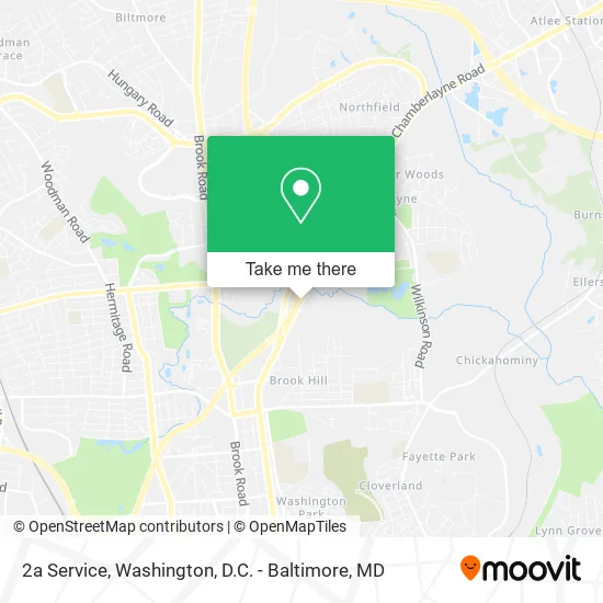
See 2a Service, Washington, D.C. - Baltimore, MD, on the map
Public Transit to 2a Service in Washington, D.C. - Baltimore, MD
Wondering how to get to 2a Service in Washington, D.C. - Baltimore, MD? Moovit helps you find the best way to get to 2a Service with step-by-step directions from the nearest public transit station.
Moovit provides free maps and live directions to help you navigate through your city. View schedules, routes, timetables, and find out how long does it take to get to 2a Service in real time.
Bus: 1, 14.
Want to see if there’s another route that gets you there at an earlier time? Moovit helps you find alternative routes or times. Get directions from and directions to 2a Service easily from the Moovit App or Website.
We make riding to 2a Service easy, which is why over 1.5 million users, including users in Washington, D.C. - Baltimore, MD, trust Moovit as the best app for public transit. You don’t need to download an individual bus app or train app, Moovit is your all-in-one transit app that helps you find the best bus time or train time available.
For information on prices of bus and train, costs and ride fares to 2a Service, please check the Moovit app.
Use the app to navigate to popular places including to the airport, hospital, stadium, grocery store, mall, coffee shop, school, college, and university.
2a Service Address: Chamberlayne Rd Richmond, VA 23227 street in Washington, D.C. - Baltimore, MD
- Qualitylocd,
- Umbrella of Help Foundation,
- 123 Hvac,
- Annoited Hands,
- Elite Case Management & Notary Services,
- Clean Habits 54,
- Best Moving Company,
- Betta Boi,
- Chef Nancy,
- Diamond Notary Services,
- Kadak Kleaning,
- General Fencing,
- Davilar Electrical Company,
- 1st Choice Services,
- Right Away Services,
- Exzis,
- Hair by T Chanelle,
- Espresso Nerds,
- All Around Cleaning Service,
- Unlimited Home Interiors
Places Near 2a Service (Washington, D.C. - Baltimore, MD)
- Westfield Montgomery Mall, Montgomery County,
- Warner Theatre, Washington,
- Capital One Arena, Washington,
- Amazon Hq2, Arlington County,
- Washington National Cathedral, Washington,
- Washington DC VA Medical Center, Washington,
- Camden Yards, Baltimore,
- National Zoo, Washington,
- Basilica of the National Shrine, Washington,
- Museum Of The Bible, Washington,
- PG Mall, Prince George's County,
- Georgetown, Washington,
- National Museum of African American History and Culture, Washington,
- Sibley Memorial Hospital, Washington,
- National Mall, Washington,
- The Anthem, Washington,
- Rock Creek Tennis Center, Washington,
- M&T Bank Stadium, Baltimore,
- Pennsylvania Ave NW (3rd st and pennsylvania), Washington,
- Marriott Marquis Washington, DC, Washington
How to get to popular places in Washington, D.C. - Baltimore, MD with public transit
Get around Washington, D.C. - Baltimore, MD by public transit!
Traveling around Washington, D.C. - Baltimore, MD has never been so easy. See step by step directions as you travel to any attraction, street or major public transit station. View bus and train schedules, arrival times, service alerts and detailed routes on a map, so you know exactly how to get to anywhere in Washington, D.C. - Baltimore, MD.
When traveling to any destination around Washington, D.C. - Baltimore, MD use Moovit's Live Directions with Get Off Notifications to know exactly where and how far to walk, how long to wait for your line, and how many stops are left. Moovit will alert you when it's time to get off — no need to constantly re-check whether yours is the next stop.
Wondering how to use public transit in Washington, D.C. - Baltimore, MD or how to pay for public transit in Washington, D.C. - Baltimore, MD? Moovit public transit app can help you navigate your way with public transit easily, and at minimum cost. It includes public transit fees, ticket prices, and costs. Looking for a map of Washington, D.C. - Baltimore, MD public transit lines? Moovit public transit app shows all public transit maps in Washington, D.C. - Baltimore, MD with all Bus, Train, Metro, Light Rail and Ferry routes and stops on an interactive map.
Washington, D.C. - Baltimore, MD has 5 transit type(s), including: Bus, Train, Metro, Light Rail and Ferry, operated by several transit agencies, including WMATA, Montgomery County Ride On, Fairfax Connector, TheBus, PRTC, DASH - Alexandria, Arlington Transit (ART), RTA of Central Maryland, MDOT MTA, MDOT MTA Light RailLink, MDOT MTA Commuter Bus, MDOT MTA Local Bus, FXBGO!, Virginia Railway Express (VRE) and MARC