36 Trapelo Rd stop - Sunday schedule
| Line | Direction | Time |
|---|---|---|
| 73 | Harvard | 6:09 AM |
| 73 | Harvard | 6:24 AM |
| 73 | Harvard | 6:39 AM |
| 73 | Harvard | 6:54 AM |
| 73 | Harvard | 7:09 AM |
| 73 | Harvard | 7:24 AM |
| 73 | Harvard | 7:39 AM |
| 73 | Harvard | 7:54 AM |
| 73 | Harvard | 8:09 AM |
| 73 | Harvard | 8:23 AM |
| 73 | Harvard | 8:37 AM |
| 73 | Harvard | 8:52 AM |
| 73 | Harvard | 9:06 AM |
| 73 | Harvard | 9:20 AM |
| 73 | Harvard | 9:35 AM |
| 73 | Harvard | 9:49 AM |
| 73 | Harvard | 10:01 AM |
| 73 | Harvard | 10:16 AM |
| 73 | Harvard | 10:31 AM |
| 73 | Harvard | 10:46 AM |
| 73 | Harvard | 11:01 AM |
| 73 | Harvard | 11:16 AM |
| 73 | Harvard | 11:31 AM |
| 73 | Harvard | 11:45 AM |
| 73 | Harvard | 12:00 PM |
Directions to 36 Trapelo Rd stop (Belmont) with public transit
The following transit lines have routes that pass near 36 Trapelo Rd
 Bus: 73.
- Train: FITCHBURG, FRAMINGHAM/WORCESTER.
- Subway: RED LINE.
How to get to 36 Trapelo Rd stop by bus?
Click on the bus route to see step by step directions with maps, line arrival times and updated time schedules.
How to get to 36 Trapelo Rd stop by train?
Click on the train route to see step by step directions with maps, line arrival times and updated time schedules.
Bus stops near 36 Trapelo Rd stop in Belmont
- Trapelo Rd @ Willow St, 2 min walk,
Train stations near 36 Trapelo Rd station in Belmont
- Waverley, 44 min walk,
- Newtonville, 52 min walk,
Subway stations near 36 Trapelo Rd station in Belmont
- Alewife, 49 min walk,
Bus lines to 36 Trapelo Rd stop in Belmont
- 73, Waverley,
What are the closest stations to 36 Trapelo Rd?
The closest stations to 36 Trapelo Rd are:
- Trapelo Rd @ Willow St stop is 100 yards away, 2 min walk.
- Waverley station is 3749 yards away, 44 min walk.
- Alewife station is 4208 yards away, 49 min walk.
- Newtonville station is 4467 yards away, 52 min walk.
Which bus line stops near 36 Trapelo Rd?
73 (Waverley)
Which train line stops near 36 Trapelo Rd?
FITCHBURG (#409 | Wachusett)
What’s the nearest bus station to 36 Trapelo Rd in Belmont?
The nearest bus station to 36 Trapelo Rd in Belmont is Trapelo Rd @ Willow St. It’s a 2 min walk away.
What time is the first subway to 36 Trapelo Rd in Belmont?
The RED LINE is the first subway that goes to 36 Trapelo Rd in Belmont. It stops nearby at 5:15 AM.
What time is the last subway to 36 Trapelo Rd in Belmont?
The RED LINE is the last subway that goes to 36 Trapelo Rd in Belmont. It stops nearby at 1:07 AM.
What time is the first train to 36 Trapelo Rd in Belmont?
The FRAMINGHAM/WORCESTER is the first train that goes to 36 Trapelo Rd in Belmont. It stops nearby at 5:25 AM.
What time is the last train to 36 Trapelo Rd in Belmont?
The FITCHBURG is the last train that goes to 36 Trapelo Rd in Belmont. It stops nearby at 12:11 AM.
What time is the first bus to 36 Trapelo Rd in Belmont?
The 73 is the first bus that goes to 36 Trapelo Rd in Belmont. It stops nearby at 4:55 AM.
What time is the last bus to 36 Trapelo Rd in Belmont?
The 73 is the last bus that goes to 36 Trapelo Rd in Belmont. It stops nearby at 1:20 AM.
36 Trapelo Rd station
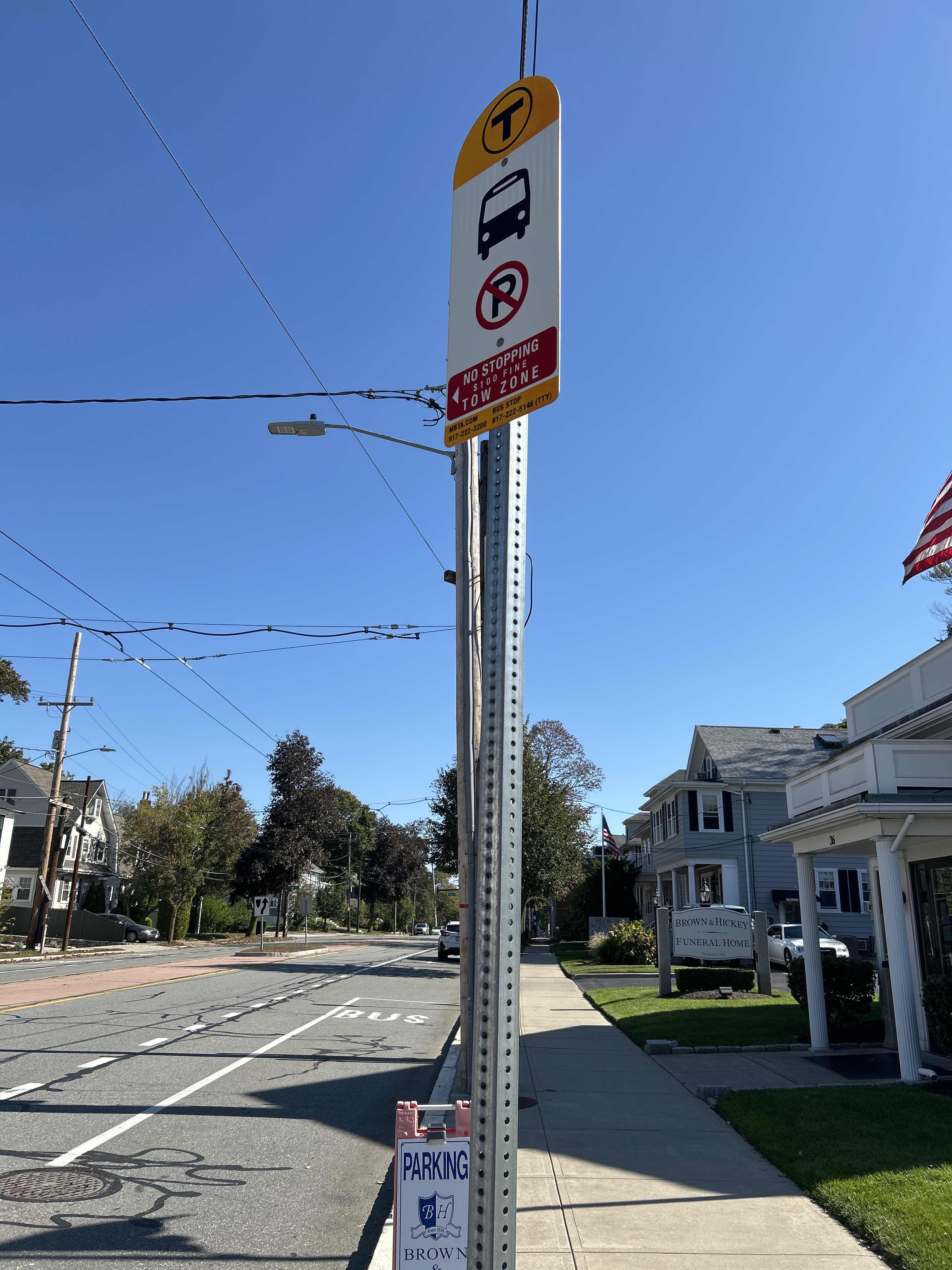 Taken by Anonymous
See 36 Trapelo Rd stop, Belmont, on the map
Public transit to 36 Trapelo Rd stop (ID: 2107) in Belmont
Looking for directions to 36 Trapelo Rd in Belmont, United States?
Download the Moovit App to find the current schedule and step-by-step directions for Bus, Subway or Train routes that pass through 36 Trapelo Rd.
Looking for the nearest stops closest to 36 Trapelo Rd ? Check out this list of closest stops to your destination: Trapelo Rd @ Willow St; Waverley; Alewife; Newtonville.
Bus: 73.Train: FITCHBURG, FRAMINGHAM/WORCESTER.Subway: RED LINE.
We make riding on public transit to 36 Trapelo Rd easy, which is why over 1.7 billion users, including users in Belmont trust Moovit as the best app for public transit.
Use the app to navigate to popular places including to the airport, hospital, stadium, grocery store, mall, coffee shop, school, college, and university.
36 Trapelo Rd stop’s code is 2107
The first line to this stop is 73, at 6:09 AM, and the last line is 73 at 12:51 AM.
Trapelo Road, Belmont, MA, USA
This stop serves MBTA’s lines
- Trapelo Rd @ Willow St
Bus stop near 36 Trapelo Rd stop
- Waverley,
- Newtonville
Train stations near 36 Trapelo Rd station
- Alewife
Subway station near 36 Trapelo Rd station
- Meadows Parking Lot - Blue Gate,
- Walnut St @ Commonwealth Ave,
- Andover Mbta Station,
- Seaman's Bank @ Route 6, Eastham,
- Scarborough Beach,
- Fields Corner,
- Marrett Rd @ Forbes Rd,
- Ruggles,
- Burgin Pkwy @ Quincy Center Station,
- Malcolm X Blvd @ Shawmut Ave,
- Rindge Ave @ Massachusetts Ave,
- Newburyport Mbta Station,
- Brigham Circle,
- Sudbury St @ Congress St - Haymarket Sta,
- Glen Ln @ Blue Hill Ave - Franklin Park Zoo,
- Brookline Ave @ Aspinwall Ave,
- Jack Satter House @ Revere Beach Blvd,
- Wood Island,
- Terminal E - Arrivals Level,
- Broadway @ Virginia Terr
Popular public transit stations in Belmont
Get around Belmont by public transit!
Traveling around Belmont has never been so easy. See step by step directions as you travel to any attraction, street or major public transit station. View bus and train schedules, arrival times, service alerts and detailed routes on a map, so you know exactly how to get to anywhere in Belmont.
When traveling to any destination around Belmont use Moovit's Live Directions with Get Off Notifications to know exactly where and how far to walk, how long to wait for your line, and how many stops are left. Moovit will alert you when it's time to get off — no need to constantly re-check whether yours is the next stop.
Wondering how to use public transit in Belmont or how to pay for public transit in Belmont? Moovit public transit app can help you navigate your way with public transit easily, and at minimum cost. It includes public transit fees, ticket prices, and costs. Looking for a map of Belmont public transit lines? Moovit public transit app shows all public transit maps in Belmont with all Bus, Train, Subway and Ferry routes and stops on an interactive map.
Boston has 4 transit type(s), including: Bus, Train, Subway and Ferry, operated by several transit agencies, including MBTA, Southeastern Regional Transit Authority, MetroWest Regional Transit Authority, Rhode Island Public Transit Authority, WRTA, Lowell Regional Transit Authority, MEVA, Montachusett Regional Transit Authority, Cape Cod Regional Transit Authority, Brockton Area Transit Authority, Martha's Vineyard Transit Authority, Nantucket Regional Transit Authority, GATRA, Cape Ann Transportation Authority and Massport