4th/Anderson stop - Wednesday schedule
| Line | Direction | Time |
|---|---|---|
| 40 | 40 Beverly Blvd | 5:43 AM |
| 40 | 40 Beverly Blvd | 6:08 AM |
| 40 | 40 Beverly Blvd | 6:35 AM |
| 40 | 40 Beverly Blvd | 7:00 AM |
| 40 | 40 Beverly Blvd | 7:27 AM |
| 40 | 40 Beverly Blvd | 7:52 AM |
| 40 | 40 Beverly Blvd | 8:17 AM |
| 40 | 40 Beverly Blvd | 8:42 AM |
| 40 | 40 Beverly Blvd | 9:07 AM |
| 40 | 40 Beverly Blvd | 9:32 AM |
| 40 | 40 Beverly Blvd | 9:57 AM |
| 40 | 40 Beverly Blvd | 10:20 AM |
| 40 | 40 Beverly Blvd | 10:45 AM |
| 40 | 40 Beverly Blvd | 11:10 AM |
| 40 | 40 Beverly Blvd | 11:35 AM |
| 40 | 40 Beverly Blvd | 12:00 PM |
| 40 | 40 Beverly Blvd | 12:25 PM |
| 40 | 40 Beverly Blvd | 12:50 PM |
| 40 | 40 Beverly Blvd | 1:15 PM |
| 40 | 40 Beverly Blvd | 1:40 PM |
| 40 | 40 Beverly Blvd | 2:05 PM |
| 40 | 40 Beverly Blvd | 2:30 PM |
| 40 | 40 Beverly Blvd | 2:55 PM |
| 40 | 40 Beverly Blvd | 3:22 PM |
| 40 | 40 Beverly Blvd | 3:47 PM |
Directions to 4th/Anderson stop (Boyle Heights) with public transit
The following transit lines have routes that pass near 4th/Anderson
 Bus: 40, 62, 74, DASH A.
- Subway: E LINE, A LINE.
- Train: OC LINE, VC LINE, AV LINE, RIV LINE, SB LINE.
How to get to 4th/Anderson stop by bus?
Click on the bus route to see step by step directions with maps, line arrival times and updated time schedules.
How to get to 4th/Anderson stop by train?
Click on the train route to see step by step directions with maps, line arrival times and updated time schedules.
How to get to 4th/Anderson stop by subway?
Click on the subway route to see step by step directions with maps, line arrival times and updated time schedules.
Bus stops near 4th/Anderson stop in Boyle Heights
- 4th/Anderson, 1 min walk,
- 1st / Marquez, 10 min walk,
- Molino St & Palmetto St, 12 min walk,
Subway stations near 4th/Anderson station in Boyle Heights
- Mariachi Plaza / Boyle Heights Station, 17 min walk,
- Little Tokyo / Arts District, 20 min walk,
Train stations near 4th/Anderson station in Boyle Heights
- Union Station, 58 min walk,
Bus lines to 4th/Anderson stop in Boyle Heights
- 40, 40 Beverly Blvd,
- 74, The Shops at Montebello,
- DASH A, Little Tokyo/City West,
What are the closest stations to 4th/Anderson?
The closest stations to 4th/Anderson are:
- 4th/Anderson stop is 37 yards away, 1 min walk.
- 1st / Marquez stop is 863 yards away, 10 min walk.
- Molino St & Palmetto St stop is 974 yards away, 12 min walk.
- Mariachi Plaza / Boyle Heights Station is 1441 yards away, 17 min walk.
- Little Tokyo / Arts District station is 1685 yards away, 20 min walk.
- Union Station is 4981 yards away, 58 min walk.
Which bus lines stop near 4th/Anderson?
These bus lines stop near 4th/Anderson: 40, 62.
Which subway line stops near 4th/Anderson?
E LINE (Eastbound to East Los Angeles)
Which train lines stop near 4th/Anderson?
These train lines stop near 4th/Anderson: OC LINE, VC LINE.
What’s the nearest subway station to 4th/Anderson in Boyle Heights?
The nearest subway station to 4th/Anderson in Boyle Heights is Mariachi Plaza / Boyle Heights Station. It’s a 17 min walk away.
What’s the nearest bus station to 4th/Anderson in Boyle Heights?
The nearest bus station to 4th/Anderson in Boyle Heights is 4th/Anderson. It’s a 1 min walk away.
What time is the first subway to 4th/Anderson in Boyle Heights?
The E LINE is the first subway that goes to 4th/Anderson in Boyle Heights. It stops nearby at 3:52 AM.
What time is the last subway to 4th/Anderson in Boyle Heights?
The E LINE is the last subway that goes to 4th/Anderson in Boyle Heights. It stops nearby at 12:53 AM.
What time is the first train to 4th/Anderson in Boyle Heights?
The PACIFIC SURFLINER is the first train that goes to 4th/Anderson in Boyle Heights. It stops nearby at 5:13 AM.
What time is the last train to 4th/Anderson in Boyle Heights?
The SOUTHWEST CHIEF is the last train that goes to 4th/Anderson in Boyle Heights. It stops nearby at 8:12 AM.
What time is the first bus to 4th/Anderson in Boyle Heights?
The 74 is the first bus that goes to 4th/Anderson in Boyle Heights. It stops nearby at 4:36 AM.
What time is the last bus to 4th/Anderson in Boyle Heights?
The 74 is the last bus that goes to 4th/Anderson in Boyle Heights. It stops nearby at 12:46 AM.
4th/Anderson station
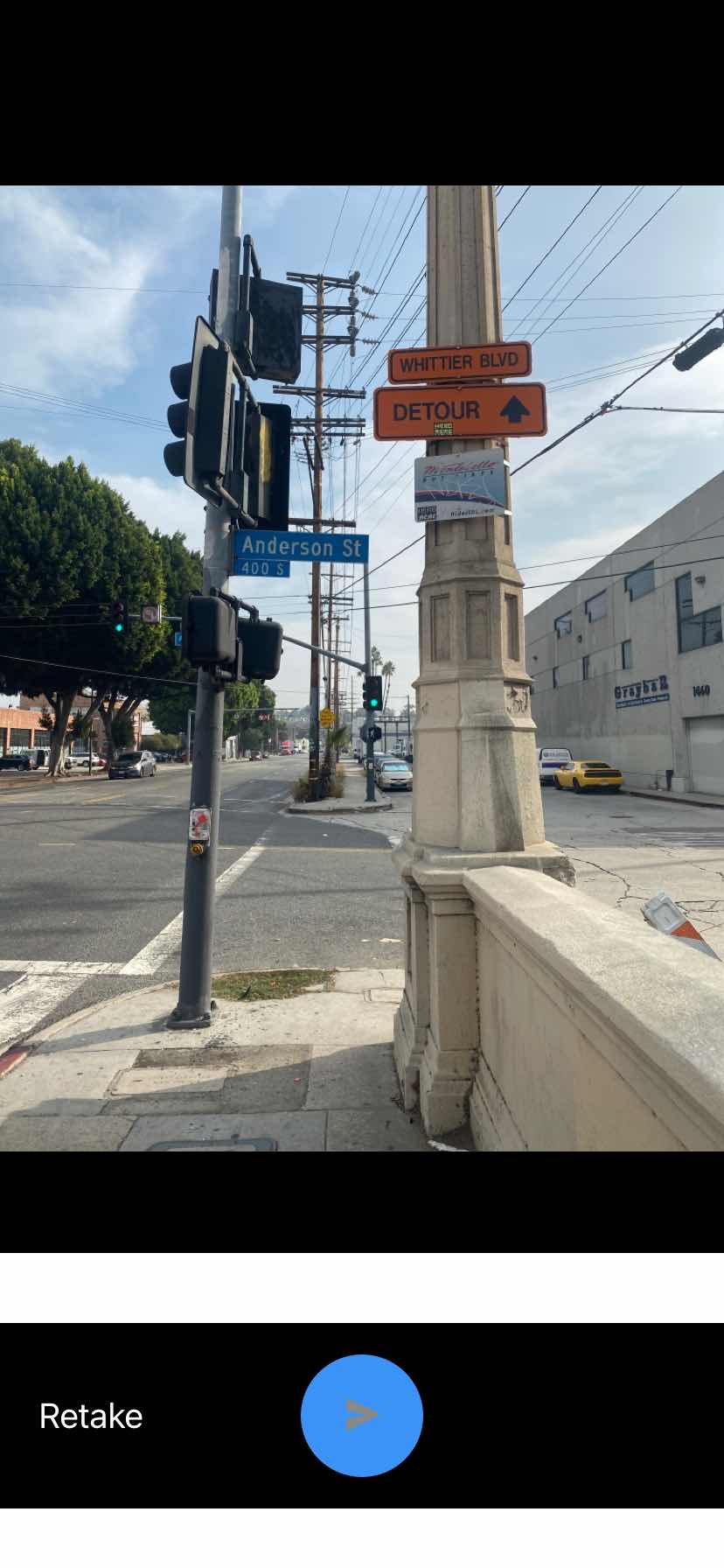 Taken by Anonymous
See 4th/Anderson stop, Boyle Heights, on the map
Public transit to 4th/Anderson stop (ID: 4025) in Boyle Heights
Looking for directions to 4th/Anderson in Boyle Heights, United States?
Download the Moovit App to find the current schedule and step-by-step directions for Bus, Subway or Train routes that pass through 4th/Anderson.
Looking for the nearest stops closest to 4th/Anderson ? Check out this list of closest stops to your destination: 4th/Anderson; 1st / Marquez; Molino St & Palmetto St; Mariachi Plaza / Boyle Heights Station; Little Tokyo / Arts District; Union Station.
Bus: 40, 62, 74, DASH A.Subway: E LINE, A LINE.Train: OC LINE, VC LINE, AV LINE, RIV LINE, SB LINE.
We make riding on public transit to 4th/Anderson easy, which is why over 1.7 billion users, including users in Boyle Heights trust Moovit as the best app for public transit.
Use the app to navigate to popular places including to the airport, hospital, stadium, grocery store, mall, coffee shop, school, college, and university.
4th/Anderson stop’s code is 4025
The first line to this stop is 40, at 5:43 AM, and the last line is 40 at 9:35 PM.
This stop serves Montebello Bus Lines’s lines
- 4th/Anderson,
- 1st / Marquez,
- Molino St & Palmetto St
Bus stops near 4th/Anderson stop
- Mariachi Plaza / Boyle Heights Station,
- Little Tokyo / Arts District
Subway stations near 4th/Anderson station
- Union Station
Train station near 4th/Anderson station
- Laurel Canyon / Paxton,
- Olympic / Indiana,
- Garvey / Santa Anita,
- Mariposa Station,
- Flower St at 23rd St,
- Vineland / Sherman Way,
- Oxnard / Lankershim,
- Ventura / Coldwater Canyon,
- Wilmington / Greenleaf,
- Ventura Rd & 5th,
- 23rd & Figueroa St.,
- San Pedro / 23rd,
- Spring & Palo Verde NW,
- Sepulveda / Sherman Way,
- Laurel Canyon / Hollywood,
- Riggin / Atlantic,
- Telegraph / Valley View,
- Sherman Way / Canoga,
- Orangethorpe / Magnolia,
- Victory / Reseda
Popular public transit stations in Boyle Heights
Get around Boyle Heights by public transit!
Traveling around Boyle Heights has never been so easy. See step by step directions as you travel to any attraction, street or major public transit station. View bus and train schedules, arrival times, service alerts and detailed routes on a map, so you know exactly how to get to anywhere in Boyle Heights.
When traveling to any destination around Boyle Heights use Moovit's Live Directions with Get Off Notifications to know exactly where and how far to walk, how long to wait for your line, and how many stops are left. Moovit will alert you when it's time to get off — no need to constantly re-check whether yours is the next stop.
Wondering how to use public transit in Boyle Heights or how to pay for public transit in Boyle Heights? Moovit public transit app can help you navigate your way with public transit easily, and at minimum cost. It includes public transit fees, ticket prices, and costs. Looking for a map of Boyle Heights public transit lines? Moovit public transit app shows all public transit maps in Boyle Heights with all Bus, Train, Subway, Ferry and Funicular routes and stops on an interactive map.
Los Angeles has 5 transit type(s), including: Bus, Train, Subway, Ferry and Funicular, operated by several transit agencies, including Metro, Metro Event Service, Alhambra Community Transit (ACT), Arcadia Transit, Artesia Transit, AVTA, Baldwin Park Transit, Beach Cities Transit, Beaumont Transit, Bell Gardens Town Trolley, Bellflower Bus, Big Blue Bus, Burbank Bus, Calabasas Trolley and Camarillo Area Transit