4th/Main stop - Wednesday schedule
| Line | Direction | Time |
|---|---|---|
| 40 | 40 Beverly Blvd | 5:38 AM |
| 40 | 40 Beverly Blvd | 6:03 AM |
| 40 | 40 Beverly Blvd | 6:30 AM |
| 40 | 40 Beverly Blvd | 6:55 AM |
| 40 | 40 Beverly Blvd | 7:20 AM |
| 40 | 40 Beverly Blvd | 7:45 AM |
| 40 | 40 Beverly Blvd | 8:10 AM |
| 40 | 40 Beverly Blvd | 8:35 AM |
| 40 | 40 Beverly Blvd | 9:00 AM |
| 40 | 40 Beverly Blvd | 9:25 AM |
| 40 | 40 Beverly Blvd | 9:50 AM |
| 40 | 40 Beverly Blvd | 10:15 AM |
| 40 | 40 Beverly Blvd | 10:40 AM |
| 40 | 40 Beverly Blvd | 11:05 AM |
| 40 | 40 Beverly Blvd | 11:30 AM |
| 40 | 40 Beverly Blvd | 11:55 AM |
| 40 | 40 Beverly Blvd | 12:20 PM |
| 40 | 40 Beverly Blvd | 12:45 PM |
| 40 | 40 Beverly Blvd | 1:10 PM |
| 40 | 40 Beverly Blvd | 1:35 PM |
| 40 | 40 Beverly Blvd | 2:00 PM |
| 40 | 40 Beverly Blvd | 2:25 PM |
| 40 | 40 Beverly Blvd | 2:50 PM |
| 40 | 40 Beverly Blvd | 3:15 PM |
| 40 | 40 Beverly Blvd | 3:40 PM |
Directions to 4th/Main stop (Downtown) with public transit
The following transit lines have routes that pass near 4th/Main
 Bus: 10/48, 4, 62, 81, 90.
- Subway: B LINE, D LINE, E LINE, A LINE.
- Funicular: ANGELS FLIGHT.
How to get to 4th/Main stop by bus?
Click on the bus route to see step by step directions with maps, line arrival times and updated time schedules.
How to get to 4th/Main stop by subway?
Click on the subway route to see step by step directions with maps, line arrival times and updated time schedules.
Bus stops near 4th/Main stop in Downtown
- Main St & 4th St, 1 min walk,
- 4th St & Spring St (Eastbound), 2 min walk,
- 4th/Los Angeles, 2 min walk,
- Spring / 4th, 2 min walk,
- Main / 3rd, 3 min walk,
- 5th / Main, 4 min walk,
- Broadway / 4th, 4 min walk,
- Spring / 3rd, 4 min walk,
- 5th / Spring, 4 min walk,
- 5th / Los Angeles, 4 min walk,
Subway stations near 4th/Main station in Downtown
- Historic Broadway, 6 min walk,
- Civic Center / Grand Park Station, 7 min walk,
Funicular stations near 4th/Main station in Downtown
- Angels Flight Top Station, 15 min walk,
Bus lines to 4th/Main stop in Downtown
- DASH D, Southbound,
- CE439, Southbound,
- 40, 40 Beverly Blvd,
- 40, Downtown La - Union Station,
- 45, Harbor Freeway Station,
- 92, Sylmar Metrolink Station,
- 33, Downtown La - Union Station,
- 20, Santa Monica,
- 720, Santa Monica (Rapid),
- 30, Pico - Rimpau,
- 90, Downtown La,
- 28, Century City,
- 53, Downtown LA - Csu Domiguez Hills,
- 55, Downtown LA – Willowbrook STA,
- 60, Downtown LA - Artesia Station -,
- 62, Downtown LA - Hawaiian Gardens,
- 16, West Hollywood,
- 18, Wilshire / Vermont Station,
- 460, Disneyland,
What are the closest stations to 4th/Main?
The closest stations to 4th/Main are:
- Main St & 4th St stop is 72 yards away, 1 min walk.
- 4th St & Spring St (Eastbound) stop is 132 yards away, 2 min walk.
- 4th/Los Angeles stop is 143 yards away, 2 min walk.
- Spring / 4th stop is 168 yards away, 2 min walk.
- Main / 3rd stop is 227 yards away, 3 min walk.
- 5th / Main stop is 262 yards away, 4 min walk.
- Broadway / 4th stop is 268 yards away, 4 min walk.
- Spring / 3rd stop is 284 yards away, 4 min walk.
- 5th / Spring stop is 301 yards away, 4 min walk.
- 5th / Los Angeles stop is 303 yards away, 4 min walk.
- Historic Broadway station is 480 yards away, 6 min walk.
- Civic Center / Grand Park Station is 534 yards away, 7 min walk.
- Angels Flight Top Station is 1278 yards away, 15 min walk.
Which bus lines stop near 4th/Main?
These bus lines stop near 4th/Main: 10/48, 4, 62, 81, 90.
Which subway lines stop near 4th/Main?
These subway lines stop near 4th/Main: B LINE, D LINE, E LINE.
What’s the nearest subway station to 4th/Main in Downtown?
The nearest subway station to 4th/Main in Downtown is Historic Broadway. It’s a 6 min walk away.
What’s the nearest bus station to 4th/Main in Downtown?
The nearest bus station to 4th/Main in Downtown is Main St & 4th St. It’s a 1 min walk away.
What’s the nearest funicular station to 4th/Main in Downtown?
The nearest funicular station to 4th/Main in Downtown is Angels Flight Top Station. It’s a 15 min walk away.
What time is the first subway to 4th/Main in Downtown?
The E LINE is the first subway that goes to 4th/Main in Downtown. It stops nearby at 3:54 AM.
What time is the last subway to 4th/Main in Downtown?
The A LINE is the last subway that goes to 4th/Main in Downtown. It stops nearby at 12:48 AM.
What time is the first bus to 4th/Main in Downtown?
The 18 is the first bus that goes to 4th/Main in Downtown. It stops nearby at 3:00 AM.
What time is the last bus to 4th/Main in Downtown?
The 33 is the last bus that goes to 4th/Main in Downtown. It stops nearby at 3:41 AM.
What time is the first funicular to 4th/Main in Downtown?
The ANGELS FLIGHT is the first funicular that goes to 4th/Main in Downtown. It stops nearby at 6:45 AM.
What time is the last funicular to 4th/Main in Downtown?
The ANGELS FLIGHT is the last funicular that goes to 4th/Main in Downtown. It stops nearby at 10:05 PM.
4th/Main station
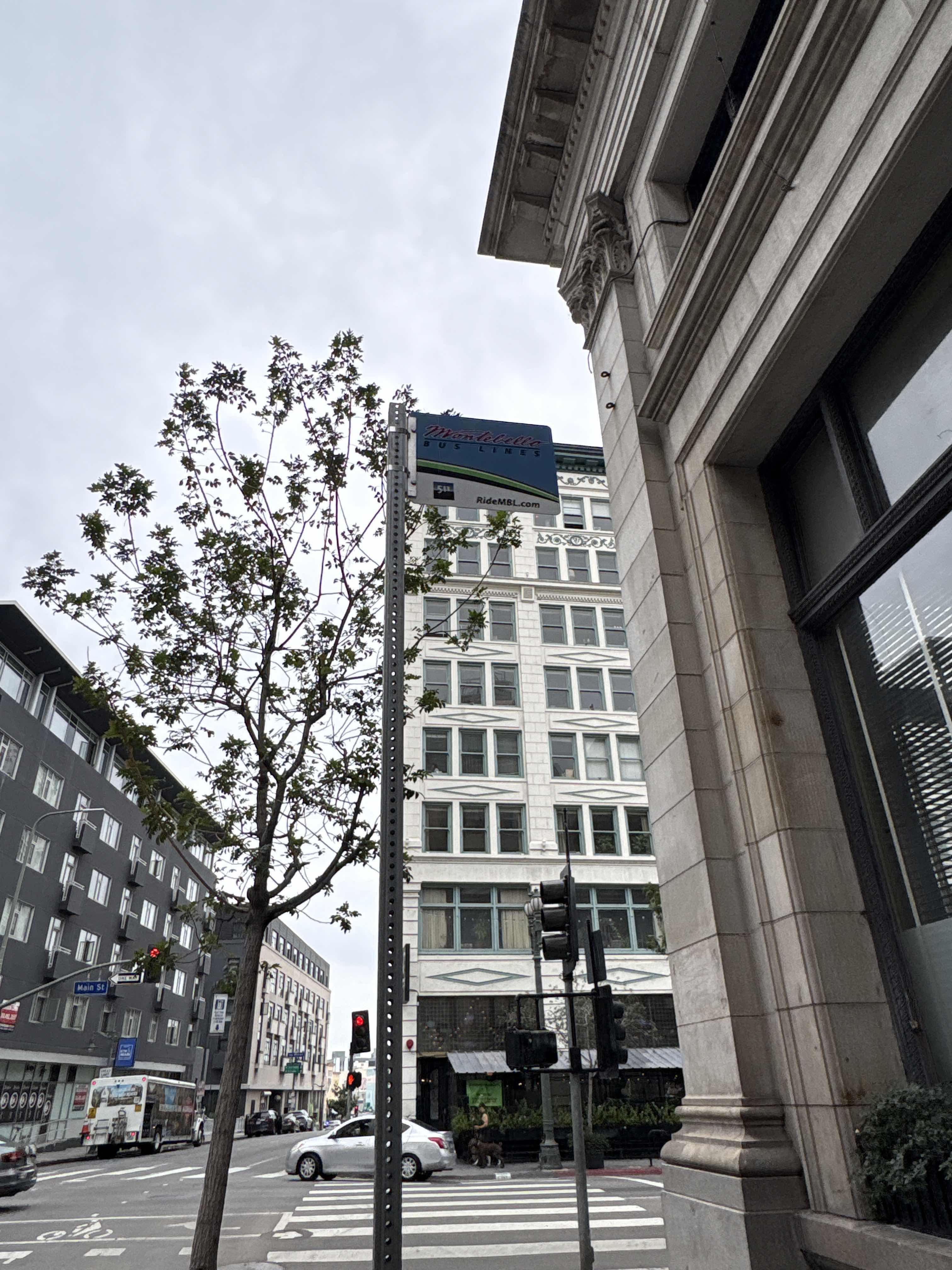 Taken by Anonymous
See 4th/Main stop, Downtown, on the map
Public transit to 4th/Main stop (ID: 4011) in Downtown
Looking for directions to 4th/Main in Downtown, United States?
Download the Moovit App to find the current schedule and step-by-step directions for Bus or Subway routes that pass through 4th/Main.
Looking for the nearest stops closest to 4th/Main ? Check out this list of closest stops to your destination: Main St & 4th St; 4th St & Spring St (Eastbound); 4th/Los Angeles; Spring / 4th; Main / 3rd; 5th / Main; Broadway / 4th; Spring / 3rd; 5th / Spring; 5th / Los Angeles; Historic Broadway; Civic Center / Grand Park Station; Angels Flight Top Station.
Bus: 10/48, 4, 62, 81, 90, DASH D, CE439, 40.Subway: B LINE, D LINE, E LINE, A LINE.Funicular: ANGELS FLIGHT.
We make riding on public transit to 4th/Main easy, which is why over 1.7 billion users, including users in Downtown trust Moovit as the best app for public transit.
Use the app to navigate to popular places including to the airport, hospital, stadium, grocery store, mall, coffee shop, school, college, and university.
4th/Main stop’s code is 4011
The first line to this stop is 40, at 5:38 AM, and the last line is 40 at 9:30 PM.
403 S Main St, Los Angeles, CA, USA
This stop serves Montebello Bus Lines’s lines
- Main St & 4th St,
- 4th St & Spring St (Eastbound),
- 4th/Los Angeles,
- Spring / 4th,
- Main / 3rd,
- 5th / Main,
- Broadway / 4th,
- Spring / 3rd,
- 5th / Spring,
- 5th / Los Angeles
Bus stops near 4th/Main stop
- Historic Broadway,
- Civic Center / Grand Park Station
Subway stations near 4th/Main station
- Angels Flight Top Station
Funicular station near 4th/Main station
- Eastern / City Terrace,
- Sepulveda / Magnolia,
- Woodman / Roscoe,
- UCLA Gateway Plaza,
- Northridge,
- Vermont & Olympic Blvd. (CCW),
- Central / Slauson,
- Figueroa / Avenue 43,
- Alameda / Arcadia,
- Lincoln / Montana,
- Valley Blvd & Garfield Ave,
- Vermont / Beverly,
- Eagle Rock / Verdugo,
- Balboa Blvd. & Saticoy St.,
- Wilmington / Victoria,
- Sunset / Kenter,
- 8th / Olive,
- Balboa & Victory,
- Saticoy / Mason,
- Sofi Stadium Transit Center
Popular public transit stations in Downtown
Get around Downtown by public transit!
Traveling around Downtown has never been so easy. See step by step directions as you travel to any attraction, street or major public transit station. View bus and train schedules, arrival times, service alerts and detailed routes on a map, so you know exactly how to get to anywhere in Downtown.
When traveling to any destination around Downtown use Moovit's Live Directions with Get Off Notifications to know exactly where and how far to walk, how long to wait for your line, and how many stops are left. Moovit will alert you when it's time to get off — no need to constantly re-check whether yours is the next stop.
Wondering how to use public transit in Downtown or how to pay for public transit in Downtown? Moovit public transit app can help you navigate your way with public transit easily, and at minimum cost. It includes public transit fees, ticket prices, and costs. Looking for a map of Downtown public transit lines? Moovit public transit app shows all public transit maps in Downtown with all Bus, Train, Subway, Ferry and Funicular routes and stops on an interactive map.
Los Angeles has 5 transit type(s), including: Bus, Train, Subway, Ferry and Funicular, operated by several transit agencies, including Metro, Metro Event Service, Alhambra Community Transit (ACT), Arcadia Transit, Artesia Transit, AVTA, Baldwin Park Transit, Beach Cities Transit, Beaumont Transit, Bell Gardens Town Trolley, Bellflower Bus, Big Blue Bus, Burbank Bus, Calabasas Trolley and Camarillo Area Transit