5th St & Erie Av stop - Wednesday schedule
| Line | Direction | Time |
|---|---|---|
| 47 | 5th-Godrey | 5:02 AM |
| 47 | 5th-Godrey | 5:45 AM |
| 47 | 5th-Godrey | 6:05 AM |
| 47 | 5th-Godrey | 6:21 AM |
| 47 | 5th-Godrey | 6:35 AM |
| 47 | 5th-Godrey | 6:48 AM |
| 47 | 5th-Godrey | 6:58 AM |
| 47 | 5th-Godrey | 7:11 AM |
| 47 | 5th-Godrey | 7:22 AM |
| 47 | 5th-Godrey | 7:31 AM |
| 47 | 5th-Godrey | 7:39 AM |
| 47 | 5th-Godrey | 7:46 AM |
| 47 | 5th-Godrey | 7:53 AM |
| 47 | 5th-Godrey | 8:00 AM |
| 47 | 5th-Godrey | 8:08 AM |
| 47 | 5th-Godrey | 8:16 AM |
| 47 | 5th-Godrey | 8:24 AM |
| 47 | 5th-Godrey | 8:32 AM |
| 47 | 5th-Godrey | 8:40 AM |
| 47 | 5th-Godrey | 8:47 AM |
| 47 | 5th-Godrey | 8:54 AM |
| 47 | 5th-Godrey | 9:02 AM |
| 47 | 5th-Godrey | 9:08 AM |
| 47 | 5th-Godrey | 9:14 AM |
| 47 | 5th-Godrey | 9:23 AM |
Directions to 5th St & Erie Av stop (Philadelphia) with public transit
The following transit lines have routes that pass near 5th St & Erie Av
 Bus: 47, 56.
- Train: CHE, CHW, MED.
- Metro: B2, B3, B1.
- Cable Car: 75.
How to get to 5th St & Erie Av stop by bus?
Click on the bus route to see step by step directions with maps, line arrival times and updated time schedules.
How to get to 5th St & Erie Av stop by train?
Click on the train route to see step by step directions with maps, line arrival times and updated time schedules.
How to get to 5th St & Erie Av stop by metro?
Click on the metro route to see step by step directions with maps, line arrival times and updated time schedules.
Bus stops near 5th St & Erie Av stop in Philadelphia
- Erie Av & 5th St , 1 min walk,
- 5th St & Butler St, 3 min walk,
Metro stations near 5th St & Erie Av station in Philadelphia
- Erie, 16 min walk,
Cable Car stations near 5th St & Erie Av station in Philadelphia
- Wyoming Av & 5th St , 23 min walk,
Bus lines to 5th St & Erie Av stop in Philadelphia
- 56, 23rd-Venango,
- 47, Whitman Plaza,
What are the closest stations to 5th St & Erie Av?
The closest stations to 5th St & Erie Av are:
- Erie Av & 5th St stop is 51 yards away, 1 min walk.
- 5th St & Butler St stop is 200 yards away, 3 min walk.
- Erie station is 1375 yards away, 16 min walk.
- Wyoming Av & 5th St station is 1956 yards away, 23 min walk.
Which bus lines stop near 5th St & Erie Av?
These bus lines stop near 5th St & Erie Av: 47, 56.
Which train lines stop near 5th St & Erie Av?
These train lines stop near 5th St & Erie Av: CHE, CHW, MED.
Which metro lines stop near 5th St & Erie Av?
These metro lines stop near 5th St & Erie Av: B2, B3.
What’s the nearest metro station to 5th St & Erie Av in Philadelphia?
The nearest metro station to 5th St & Erie Av in Philadelphia is Erie. It’s a 16 min walk away.
What’s the nearest bus station to 5th St & Erie Av in Philadelphia?
The nearest bus station to 5th St & Erie Av in Philadelphia is Erie Av & 5th St. It’s a 1 min walk away.
What’s the nearest cable car station to 5th St & Erie Av in Philadelphia?
The nearest cable car station to 5th St & Erie Av in Philadelphia is Wyoming Av & 5th St. It’s a 23 min walk away.
5th St & Erie Av station
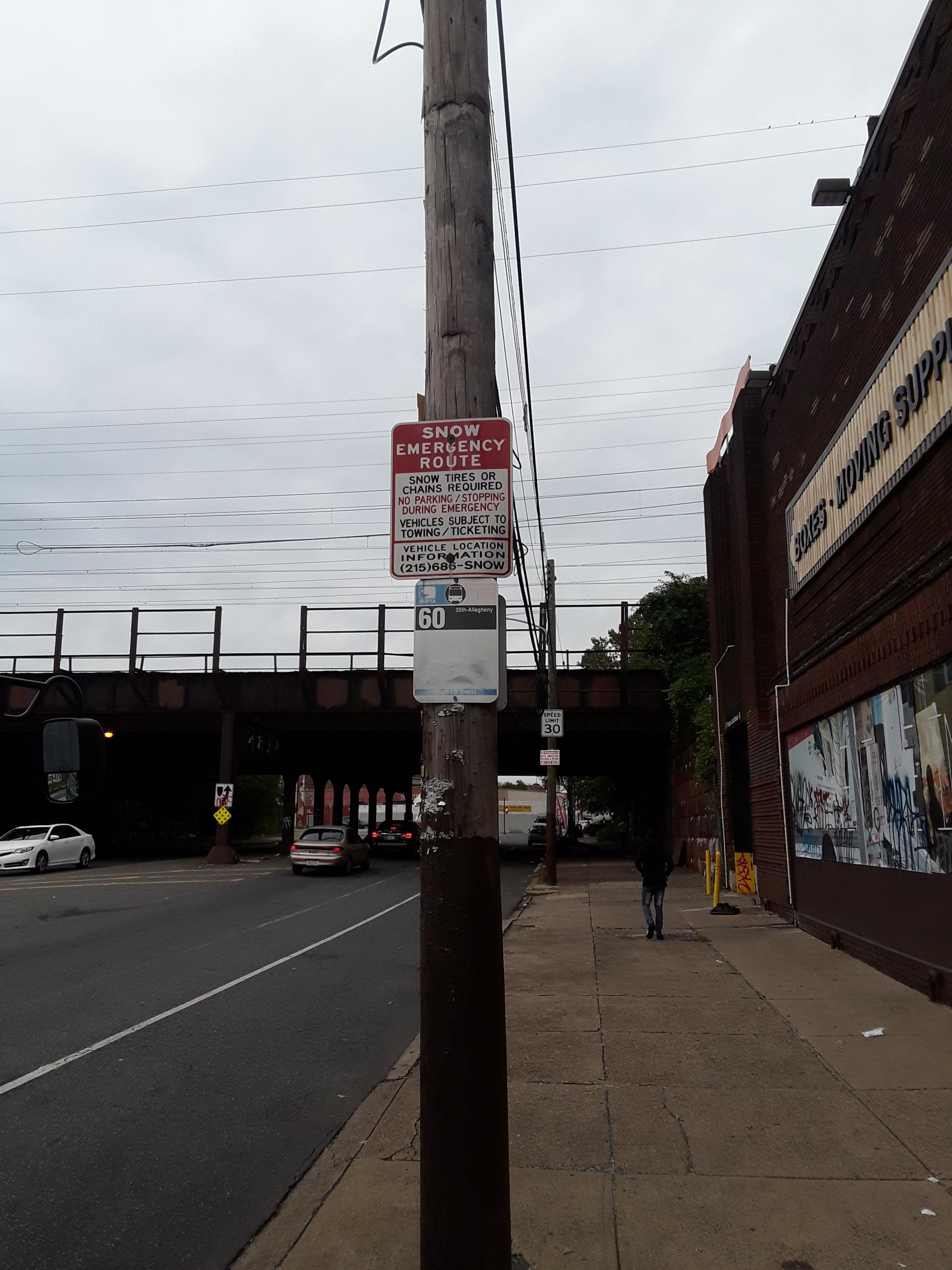 Taken by Anonymous
See 5th St & Erie Av stop, Philadelphia, on the map
Public transit to 5th St & Erie Av stop (ID: 741) in Philadelphia
Looking for directions to 5th St & Erie Av in Philadelphia, United States?
Download the Moovit App to find the current schedule and step-by-step directions for Bus, Metro or Train routes that pass through 5th St & Erie Av.
Looking for the nearest stops closest to 5th St & Erie Av ? Check out this list of closest stops to your destination: Erie Av & 5th St ; 5th St & Butler St; Erie; Wyoming Av & 5th St .
Bus: 47, 56.Train: CHE, CHW, MED.Metro: B2, B3, B1.Cable Car: 75.
We make riding on public transit to 5th St & Erie Av easy, which is why over 1.7 billion users, including users in Philadelphia trust Moovit as the best app for public transit.
Use the app to navigate to popular places including to the airport, hospital, stadium, grocery store, mall, coffee shop, school, college, and university.
5th St & Erie Av stop’s code is 741
The first line to this stop is 47, at 5:02 AM, and the last line is 47 at 4:17 AM.
3645 N 05th St, Philadelphia, PA, USA
This stop serves SEPTA’s lines
Popular routes from 5th St & Erie Av stop, Philadelphia
- Erie Av & 5th St ,
- 5th St & Butler St
Bus stops near 5th St & Erie Av stop
- Erie
Metro station near 5th St & Erie Av station
- Wyoming Av & 5th St
Cable Car station near 5th St & Erie Av station
- Comly Rd & Thornton Rd,
- Stuyvesant Ave at Cadwalader Dr,
- Broad St & Mifflin St,
- 69th Av & 11th St,
- Quaker Bridge Rd at Lawrence Square Blvd S,
- Princeton,
- Roosevelt Blvd & Broad St,
- Main St & Trooper Rd,
- Broad St & Christian St,
- Spring Garden St & 5th St,
- 2nd St & Poplar St ,
- 60th St & Media St,
- 16th St & JFK Blvd,
- Baltimore Pike & Lemon St,
- Locust St & 13th St ,
- 10th St & Oregon Av,
- Grays Ferry Av & 35th St,
- Market St at 7th St,
- 67th St & Elmwood Av - Fs,
- 29th St & Allegheny Av
Popular public transit stations in Philadelphia
Get around Philadelphia by public transit!
Traveling around Philadelphia has never been so easy. See step by step directions as you travel to any attraction, street or major public transit station. View bus and train schedules, arrival times, service alerts and detailed routes on a map, so you know exactly how to get to anywhere in Philadelphia.
When traveling to any destination around Philadelphia use Moovit's Live Directions with Get Off Notifications to know exactly where and how far to walk, how long to wait for your line, and how many stops are left. Moovit will alert you when it's time to get off — no need to constantly re-check whether yours is the next stop.
Wondering how to use public transit in Philadelphia or how to pay for public transit in Philadelphia? Moovit public transit app can help you navigate your way with public transit easily, and at minimum cost. It includes public transit fees, ticket prices, and costs. Looking for a map of Philadelphia public transit lines? Moovit public transit app shows all public transit maps in Philadelphia with all Bus, Train, Metro, Light Rail and Cable Car routes and stops on an interactive map.
Philadelphia has 5 transit type(s), including: Bus, Train, Metro, Light Rail and Cable Car, operated by several transit agencies, including SEPTA Subway, SEPTA Rail, SEPTA, SEPTA Trolley, NJ Transit Rail, NJ Transit, Port Authority Transit Corporation, Navy Yard, Penn Transit, Drexel University, Pottstown Area Rapid Transit (PART), Fullington Tours, Chescobus, Amtrak and Greyhound-us