63rd station - Saturday schedule
| Line | Direction | Time |
|---|---|---|
| UP-NW | Harvard/McHenry | 5:06 AM |
| UP-NW | Chicago OTC | 5:08 AM |
| UP-NW | Harvard/McHenry | 5:18 AM |
| UP-NW | Chicago OTC | 5:20 AM |
| UP-NW | Harvard/McHenry | 5:30 AM |
| UP-NW | Chicago OTC | 5:32 AM |
| UP-NW | Harvard/McHenry | 5:42 AM |
| UP-NW | Chicago OTC | 5:44 AM |
| UP-NW | Harvard/McHenry | 5:54 AM |
| UP-NW | Chicago OTC | 5:56 AM |
| UP-NW | Harvard/McHenry | 6:06 AM |
| UP-NW | Chicago OTC | 6:07 AM |
| UP-NW | Chicago OTC | 6:17 AM |
| UP-NW | Harvard/McHenry | 6:18 AM |
| UP-NW | Chicago OTC | 6:27 AM |
| UP-NW | Harvard/McHenry | 6:30 AM |
| UP-NW | Chicago OTC | 6:37 AM |
| UP-NW | Harvard/McHenry | 6:42 AM |
| UP-NW | Chicago OTC | 6:47 AM |
| UP-NW | Harvard/McHenry | 6:54 AM |
| UP-NW | Chicago OTC | 6:57 AM |
| UP-NW | Harvard/McHenry | 7:04 AM |
| UP-NW | Chicago OTC | 7:07 AM |
| UP-NW | Harvard/McHenry | 7:14 AM |
| UP-NW | Chicago OTC | 7:17 AM |
Directions to 63rd station (Chicago) with public transit
The following transit lines have routes that pass near 63rd
 Bus: 24, 63, 29.
- Train: ME.
- Chicago 'L': RED LINE, GREEN LINE.
How to get to 63rd station by bus?
Click on the bus route to see step by step directions with maps, line arrival times and updated time schedules.
How to get to 63rd station by train?
Click on the train route to see step by step directions with maps, line arrival times and updated time schedules.
How to get to 63rd station by Chicago 'L'?
Click on the Chicago 'L' route to see step by step directions with maps, line arrival times and updated time schedules.
Bus stops near 63rd stop in Chicago
- 63rd Red Line Station (West), 1 min walk,
- Yale & 63rd Street (South), 2 min walk,
- State & 63rd Street (South), 6 min walk,
Chicago 'L' stations near 63rd station in Chicago
- Halsted (Green), 15 min walk,
- 69th, 20 min walk,
Bus lines to 63rd station in Chicago
- 63, Midway Orange Line Station (Sw),
- 24, Dearborn & Randolph (North),
- 29, 95th Red Line Station (East),
What are the closest stations to 63rd?
The closest stations to 63rd are:
- 63rd Red Line Station (West) is 14 yards away, 1 min walk.
- Yale & 63rd Street (South) stop is 89 yards away, 2 min walk.
- State & 63rd Street (South) stop is 512 yards away, 6 min walk.
- Halsted (Green) station is 1259 yards away, 15 min walk.
- 69th station is 1713 yards away, 20 min walk.
Which bus lines stop near 63rd?
These bus lines stop near 63rd: 24, 63.
Which train line stops near 63rd?
ME (Millennium Station (North))
Which Chicago 'L' line stops near 63rd?
RED LINE (95th/Dan Ryan)
What’s the nearest Chicago 'L' station to 63rd in Chicago?
The nearest Chicago 'L' station to 63rd in Chicago is Halsted (Green). It’s a 15 min walk away.
What’s the nearest bus station to 63rd in Chicago?
The nearest bus station to 63rd in Chicago is 63rd Red Line Station (West). It’s a 1 min walk away.
What time is the first Chicago 'L' to 63rd in Chicago?
The RED LINE is the first Chicago 'L' that goes to 63rd in Chicago. It stops nearby at 3:01 AM.
What time is the last Chicago 'L' to 63rd in Chicago?
The RED LINE is the last Chicago 'L' that goes to 63rd in Chicago. It stops nearby at 3:41 AM.
What time is the first bus to 63rd in Chicago?
The 63 is the first bus that goes to 63rd in Chicago. It stops nearby at 3:00 AM.
What time is the last bus to 63rd in Chicago?
The 63 is the last bus that goes to 63rd in Chicago. It stops nearby at 3:01 AM.
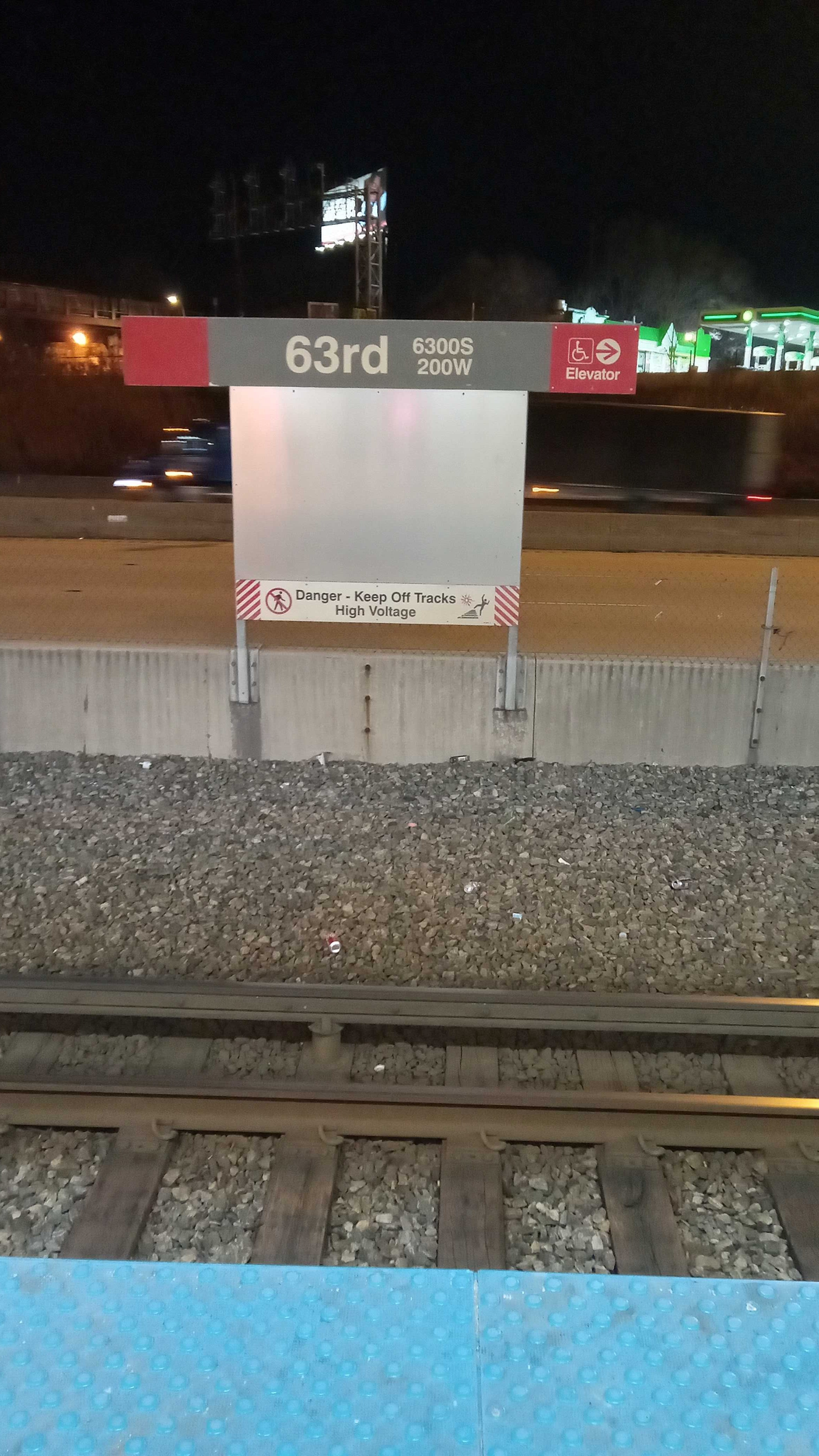
63rd station
 Taken by Yolanda B.
See 63rd station, Chicago, on the map
Public transit to 63rd station in Chicago
Looking for directions to 63rd in Chicago, United States?
Download the Moovit App to find the current schedule and step-by-step directions for Bus, Chicago 'L' or Train routes that pass through 63rd.
Looking for the nearest stops closest to 63rd ? Check out this list of closest stops to your destination: 63rd Red Line Station (West); Yale & 63rd Street (South); State & 63rd Street (South); Halsted (Green); 69th.
Bus: 24, 63, 29.Train: ME.Chicago 'L': RED LINE, GREEN LINE.
We make riding on public transit to 63rd easy, which is why over 1.7 billion users, including users in Chicago trust Moovit as the best app for public transit.
Use the app to navigate to popular places including to the airport, hospital, stadium, grocery store, mall, coffee shop, school, college, and university.
The station has the following entrances: W 63rd St
The first line to this station is UP-NW, at 5:06 AM, and the last line is UP-NW at 4:56 AM.
220 West 63rd Street, South Side, Chicago, IL, USA
This station serves Metra’s lines
Popular routes from 63rd station, Chicago
- 63rd Red Line Station (West),
- Yale & 63rd Street (South),
- State & 63rd Street (South)
Bus stops near 63rd stop
- Halsted (Green),
- 69th
Chicago 'L' stations near 63rd station
- Jefferson Park,
- Clinton Blue Line Station (South),
- Lawrence & Central Park (West),
- Midway Cta Station,
- 79th Street & Jeffery (East),
- Central & Sheridan,
- Mendota Amtrak,
- Farnsworth Ave & Indian Trail,
- 26th Street & California Avenue (West),
- Cermak/Austin,
- Gurnee Mills (6170 W Grand Ave),
- Milwaukee & Addison (Nw),
- Ashland & Fullerton (North),
- Halsted & 26th Street (South),
- Howard & Chicago Avenue,
- Clarendon & Bittersweet (North),
- 47th Street & Western Avenue (East),
- Lake St & Oak Park Ave,
- Illinois Route 59 & 95th St,
- 61st Street & Indiana (West)
Popular public transit stations in Chicago
Get around Chicago by public transit!
Traveling around Chicago has never been so easy. See step by step directions as you travel to any attraction, street or major public transit station. View bus and train schedules, arrival times, service alerts and detailed routes on a map, so you know exactly how to get to anywhere in Chicago.
When traveling to any destination around Chicago use Moovit's Live Directions with Get Off Notifications to know exactly where and how far to walk, how long to wait for your line, and how many stops are left. Moovit will alert you when it's time to get off — no need to constantly re-check whether yours is the next stop.
Wondering how to use public transit in Chicago or how to pay for public transit in Chicago? Moovit public transit app can help you navigate your way with public transit easily, and at minimum cost. It includes public transit fees, ticket prices, and costs. Looking for a map of Chicago public transit lines? Moovit public transit app shows all public transit maps in Chicago with all Bus, Train and Chicago 'L' routes and stops on an interactive map.
Chicago has 3 transit type(s), including: Bus, Train and Chicago 'L', operated by several transit agencies, including CTA 'L', Metra, Northern Indiana Commuter Transportation District, CTA, PACE, O'Hare International Airport Shuttle Bus, Gary Public Transit, Amtrak, River Valley Metro, Valpo Transit, DeKalb Public Transit, FlixBus-us, Greyhound-us, Van Galder (Coach USA) and Wisconsin Coach Lines