7th St & Girard Av stop - Sunday schedule
| Line | Direction | Time |
|---|---|---|
| 47 | 5th-Godrey | 4:49 AM |
| 47 | 5th-Godrey | 4:50 AM |
| 47 | 5th-Godrey | 5:32 AM |
| 47 | 5th-Godrey | 6:02 AM |
| 47 | 5th-Godrey | 6:33 AM |
| 47 | 5th-Godrey | 7:03 AM |
| 47 | 5th-Godrey | 7:33 AM |
| 47 | 5th-Godrey | 8:04 AM |
| 47 | 5th-Godrey | 8:36 AM |
| 47 | 5th-Godrey | 9:06 AM |
| 47 | 5th-Godrey | 9:36 AM |
| 47 | 5th-Godrey | 10:06 AM |
| 47 | 5th-Godrey | 10:31 AM |
| 47 | 5th-Godrey | 10:50 AM |
| 47 | 5th-Godrey | 11:08 AM |
| 47 | 5th-Godrey | 11:25 AM |
| 47 | 5th-Godrey | 11:42 AM |
| 47 | 5th-Godrey | 11:59 AM |
| 47 | 5th-Godrey | 12:15 PM |
| 47 | 5th-Godrey | 12:31 PM |
| 47 | 5th-Godrey | 12:47 PM |
| 47 | 5th-Godrey | 1:02 PM |
| 47 | 5th-Godrey | 1:17 PM |
| 47 | 5th-Godrey | 1:32 PM |
| 47 | 5th-Godrey | 1:47 PM |
Directions to 7th St & Girard Av stop (Philadelphia) with public transit
The following transit lines have routes that pass near 7th St & Girard Av
 Bus: 47, 57, 23.
- Train: CHE, LAN.
- Metro: G1.
How to get to 7th St & Girard Av stop by bus?
Click on the bus route to see step by step directions with maps, line arrival times and updated time schedules.
How to get to 7th St & Girard Av stop by train?
Click on the train route to see step by step directions with maps, line arrival times and updated time schedules.
How to get to 7th St & Girard Av stop by metro?
Click on the metro route to see step by step directions with maps, line arrival times and updated time schedules.
Metro stations near 7th St & Girard Av station in Philadelphia
- Girard Av & 7th St, 2 min walk,
Bus stops near 7th St & Girard Av stop in Philadelphia
- 7th St & Poplar St - Mbfs, 2 min walk,
- 4th St & Girard Av - Fs , 6 min walk,
- 11th St & Girard Av, 8 min walk,
Bus lines to 7th St & Girard Av stop in Philadelphia
- 47, Whitman Plaza,
- 57, Packer Marine Terminal,
- 23, Chestnut Hill,
What are the closest stations to 7th St & Girard Av?
The closest stations to 7th St & Girard Av are:
- Girard Av & 7th St is 74 yards away, 2 min walk.
- 7th St & Poplar St - Mbfs is 130 yards away, 2 min walk.
- 4th St & Girard Av - Fs is 484 yards away, 6 min walk.
- 11th St & Girard Av is 587 yards away, 8 min walk.
Which bus line stops near 7th St & Girard Av?
47 (Whitman Plaza)
Which train lines stop near 7th St & Girard Av?
These train lines stop near 7th St & Girard Av: CHE, LAN.
Which metro line stops near 7th St & Girard Av?
G1 (Frankford-Delaware)
What’s the nearest metro station to 7th St & Girard Av in Philadelphia?
The nearest metro station to 7th St & Girard Av in Philadelphia is Girard Av & 7th St. It’s a 2 min walk away.
What’s the nearest bus station to 7th St & Girard Av in Philadelphia?
The nearest bus station to 7th St & Girard Av in Philadelphia is 7th St & Poplar St - Mbfs. It’s a 2 min walk away.
What time is the first metro to 7th St & Girard Av in Philadelphia?
The G1 is the first metro that goes to 7th St & Girard Av in Philadelphia. It stops nearby at 3:02 AM.
What time is the last metro to 7th St & Girard Av in Philadelphia?
The G1 is the last metro that goes to 7th St & Girard Av in Philadelphia. It stops nearby at 3:03 AM.
What time is the first bus to 7th St & Girard Av in Philadelphia?
The 47 is the first bus that goes to 7th St & Girard Av in Philadelphia. It stops nearby at 3:05 AM.
What time is the last bus to 7th St & Girard Av in Philadelphia?
The 47 is the last bus that goes to 7th St & Girard Av in Philadelphia. It stops nearby at 3:07 AM.
7th St & Girard Av station
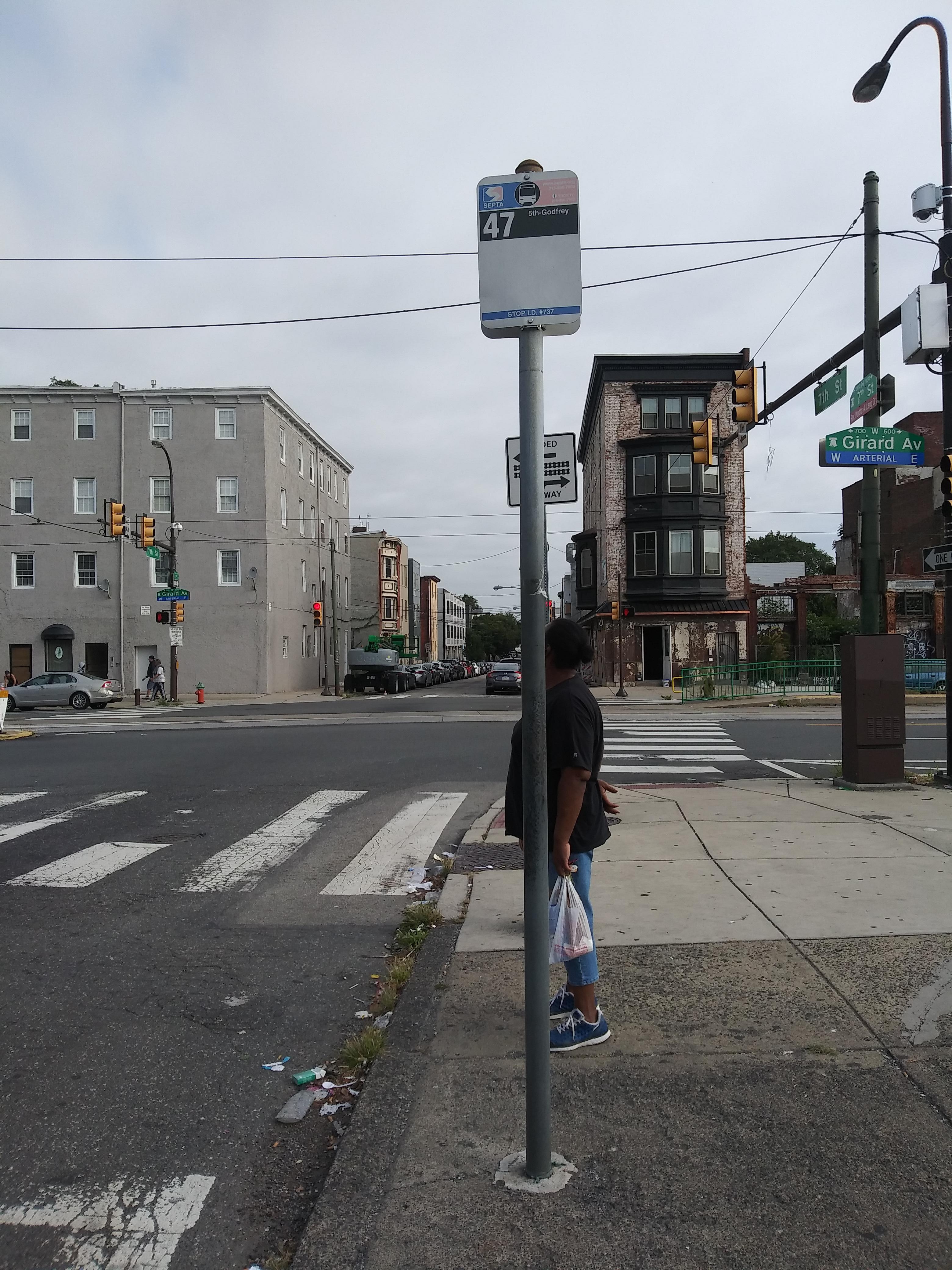 Taken by Anonymous
See 7th St & Girard Av stop, Philadelphia, on the map
Public transit to 7th St & Girard Av stop (ID: 737) in Philadelphia
Looking for directions to 7th St & Girard Av in Philadelphia, United States?
Download the Moovit App to find the current schedule and step-by-step directions for Bus, Metro or Train routes that pass through 7th St & Girard Av.
Looking for the nearest stops closest to 7th St & Girard Av ? Check out this list of closest stops to your destination: Girard Av & 7th St; 7th St & Poplar St - Mbfs; 4th St & Girard Av - Fs ; 11th St & Girard Av.
Bus: 47, 57, 23.Train: CHE, LAN.Metro: G1.
We make riding on public transit to 7th St & Girard Av easy, which is why over 1.5 million users, including users in Philadelphia trust Moovit as the best app for public transit.
Use the app to navigate to popular places including to the airport, hospital, stadium, grocery store, mall, coffee shop, school, college, and university.
7th St & Girard Av stop’s code is 737
The first line to this stop is 47, at 4:49 AM, and the last line is 47 at 4:05 AM.
630-38 W Girard Ave, Philadelphia, PA, USA
This stop serves SEPTA’s lines
Popular routes from 7th St & Girard Av stop, Philadelphia
- Girard Av & 7th St
Metro station near 7th St & Girard Av station
- 7th St & Poplar St - Mbfs,
- 4th St & Girard Av - Fs ,
- 11th St & Girard Av
Bus stops near 7th St & Girard Av stop
- Lombard South,
- Woodland Av & 63rd St ,
- Fairmount Av & 24th St ,
- Market St at 7th St,
- Elwyn,
- Hamilton Ave at South Clinton Ave,
- Chester Av & 48th St ,
- Chestnut St & 6th St,
- Glenside,
- 6th St at Race St,
- North End Redners,
- 58th St & Florence Av ,
- Grays Av & 51st St,
- 16th St & Jefferson St ,
- Fort Washington,
- Walnut St & 41st St,
- Elmwood Av & 73rd St,
- Neshaminy,
- Olney,
- 2nd St & Germantown Av
Popular public transit stations in Philadelphia
Get around Philadelphia by public transit!
Traveling around Philadelphia has never been so easy. See step by step directions as you travel to any attraction, street or major public transit station. View bus and train schedules, arrival times, service alerts and detailed routes on a map, so you know exactly how to get to anywhere in Philadelphia.
When traveling to any destination around Philadelphia use Moovit's Live Directions with Get Off Notifications to know exactly where and how far to walk, how long to wait for your line, and how many stops are left. Moovit will alert you when it's time to get off — no need to constantly re-check whether yours is the next stop.
Wondering how to use public transit in Philadelphia or how to pay for public transit in Philadelphia? Moovit public transit app can help you navigate your way with public transit easily, and at minimum cost. It includes public transit fees, ticket prices, and costs. Looking for a map of Philadelphia public transit lines? Moovit public transit app shows all public transit maps in Philadelphia with all Bus, Train, Metro, Light Rail and Cable Car routes and stops on an interactive map.
Philadelphia has 5 transit type(s), including: Bus, Train, Metro, Light Rail and Cable Car, operated by several transit agencies, including SEPTA Subway, SEPTA Rail, SEPTA, SEPTA Trolley, NJ Transit Rail, NJ Transit Bus, Port Authority Transit Corporation, Navy Yard, Penn Transit, Drexel University, Pottstown Area Rapid Transit (PART), Fullington Tours, Chescobus, Amtrak and Greyhound-us