A1A/Harbor Drive stop - Thursday schedule
| Line | Direction | Time |
|---|---|---|
| 40 | Lauderhill Transit Center Via Central Terminal | 6:27 AM |
| 40 | Lauderhill Transit Center Via Central Terminal | 6:57 AM |
| 40 | Lauderhill Transit Center Via Central Terminal | 7:29 AM |
| 40 | Lauderhill Transit Center Via Central Terminal | 8:00 AM |
| 40 | Lauderhill Transit Center Via Central Terminal | 8:29 AM |
| 40 | Lauderhill Transit Center Via Central Terminal | 8:59 AM |
| 40 | Lauderhill Transit Center Via Central Terminal | 9:29 AM |
| 40 | Lauderhill Transit Center Via Central Terminal | 9:59 AM |
| 40 | Lauderhill Transit Center Via Central Terminal | 10:29 AM |
| 40 | Lauderhill Transit Center Via Central Terminal | 10:59 AM |
| 40 | Lauderhill Transit Center Via Central Terminal | 11:29 AM |
| 40 | Lauderhill Transit Center Via Central Terminal | 11:59 AM |
| 40 | Lauderhill Transit Center Via Central Terminal | 12:29 PM |
| 40 | Lauderhill Transit Center Via Central Terminal | 12:59 PM |
| 40 | Lauderhill Transit Center Via Central Terminal | 1:29 PM |
| 40 | Lauderhill Transit Center Via Central Terminal | 1:59 PM |
| 40 | Lauderhill Transit Center Via Central Terminal | 2:29 PM |
| 40 | Lauderhill Transit Center Via Central Terminal | 2:59 PM |
| 40 | Lauderhill Transit Center Via Pts America & Central Terminal | 3:30 PM |
| 40 | Lauderhill Transit Center Via Central Terminal | 3:58 PM |
| 40 | Lauderhill Transit Center Via Pts America & Central Terminal | 4:20 PM |
| 40 | Lauderhill Transit Center Via Central Terminal | 4:50 PM |
| 40 | Lauderhill Transit Center Via Central Terminal | 5:12 PM |
| 40 | Lauderhill Transit Center Via Central Terminal | 5:37 PM |
| 40 | Lauderhill Transit Center Via Central Terminal | 6:12 PM |
Directions to A1A/Harbor Drive stop (Fort Lauderdale) with public transit
The following transit lines have routes that pass near A1A/Harbor Drive
 Bus: 40, 11.
- Ferry: WATER TROLLEY.
How to get to A1A/Harbor Drive stop by bus?
Click on the bus route to see step by step directions with maps, line arrival times and updated time schedules.
Bus stops near A1A/Harbor Drive stop in Fort Lauderdale
- A1A/Harbor Drive, 2 min walk,
- A1A & Las Olas Boulevard, 6 min walk,
Ferry stations near A1A/Harbor Drive station in Fort Lauderdale
- Laura Ward Riverwalk Plaza, 47 min walk,
Bus lines to A1A/Harbor Drive stop in Fort Lauderdale
- 40, Lauderhill Mall Via Pts America & Central Terminal,
- 11, Us 1 - Copans,
What are the closest stations to A1A/Harbor Drive?
The closest stations to A1A/Harbor Drive are:
- A1A/Harbor Drive stop is 117 yards away, 2 min walk.
- A1A & Las Olas Boulevard stop is 435 yards away, 6 min walk.
- Laura Ward Riverwalk Plaza station is 4007 yards away, 47 min walk.
Which bus line stops near A1A/Harbor Drive?
40 (Galleria Via Central Terminal)
What’s the nearest bus station to A1A/Harbor Drive in Fort Lauderdale?
The nearest bus station to A1A/Harbor Drive in Fort Lauderdale is A1A/Harbor Drive. It’s a 2 min walk away.
What time is the first bus to A1A/Harbor Drive in Fort Lauderdale?
The 11 is the first bus that goes to A1A/Harbor Drive in Fort Lauderdale. It stops nearby at 5:03 AM.
What time is the last bus to A1A/Harbor Drive in Fort Lauderdale?
The 11 is the last bus that goes to A1A/Harbor Drive in Fort Lauderdale. It stops nearby at 12:06 AM.
What time is the first ferry to A1A/Harbor Drive in Fort Lauderdale?
The WATER TROLLEY is the first ferry that goes to A1A/Harbor Drive in Fort Lauderdale. It stops nearby at 10:00 AM.
What time is the last ferry to A1A/Harbor Drive in Fort Lauderdale?
The WATER TROLLEY is the last ferry that goes to A1A/Harbor Drive in Fort Lauderdale. It stops nearby at 10:20 PM.
A1A/Harbor Drive station
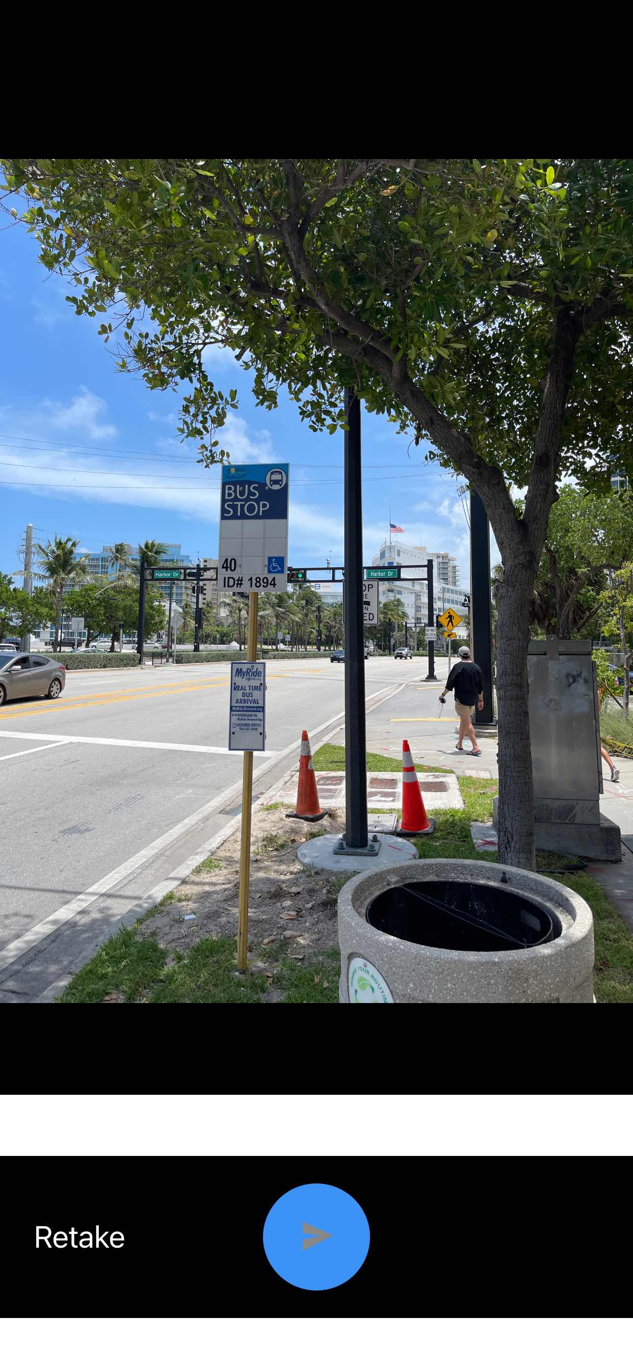 Taken by Anonymous
See A1A/Harbor Drive stop, Fort Lauderdale, on the map
Public transit to A1A/Harbor Drive stop (ID: 1894) in Fort Lauderdale
Looking for directions to A1A/Harbor Drive in Fort Lauderdale, United States?
Download the Moovit App to find the current schedule and step-by-step directions for Bus routes that pass through A1A/Harbor Drive.
Looking for the nearest stops closest to A1A/Harbor Drive ? Check out this list of closest stops to your destination: A1A/Harbor Drive; A1A & Las Olas Boulevard; Laura Ward Riverwalk Plaza.
Bus: 40, 11.Ferry: WATER TROLLEY.
We make riding on public transit to A1A/Harbor Drive easy, which is why over 1.7 billion users, including users in Fort Lauderdale trust Moovit as the best app for public transit.
Use the app to navigate to popular places including to the airport, hospital, stadium, grocery store, mall, coffee shop, school, college, and university.
A1A/Harbor Drive stop’s code is 1894
The first line to this stop is 40, at 6:27 AM, and the last line is 40 at 10:27 PM.
1015 Seabreeze Blvd, Fort Lauderdale, FL, USA
This stop serves Broward County Transit’s lines
Popular routes from A1A/Harbor Drive stop, Fort Lauderdale
- A1A/Harbor Drive,
- A1A & Las Olas Boulevard
Bus stops near A1A/Harbor Drive stop
- Laura Ward Riverwalk Plaza
Ferry station near A1A/Harbor Drive station
- US 441/Coconut Creek Parkway,
- Nw 87 Ct & 114 St,
- Sw 8 St & 42 Av,
- Biscayne Bd & Ne 183 St,
- E 25 St & E 4 Av,
- Ne 135 St & Ne 7 Av,
- Pine Island Road/Northwest 12th Street,
- Ne 79 St & Biscayne Blvd,
- Us 1 & Sw 336 St,
- W Flagler St & Grand Canal Dr,
- Southwest 172nd Avenue/Miramar Parkway -(Miramar Regional Park P&R),
- Mile Marker 74 Islamorada,
- Northside Sta @ 3150 Nw 79 St,
- Commercial Boulevard/Dixie Highway,
- Sw 88 St & 89 Ct,
- Sw 40 St & Ponce De Leon Bd,
- Oakland Park Boulevard/Northwest 27th Avenue,
- MILITARY TRL at CRESTHAVEN BLVD,
- Indian Creek & 43 St,
- Sw 280 St @ Sw 164 Av
Popular public transit stations in Fort Lauderdale
Get around Fort Lauderdale by public transit!
Traveling around Fort Lauderdale has never been so easy. See step by step directions as you travel to any attraction, street or major public transit station. View bus and train schedules, arrival times, service alerts and detailed routes on a map, so you know exactly how to get to anywhere in Fort Lauderdale.
When traveling to any destination around Fort Lauderdale use Moovit's Live Directions with Get Off Notifications to know exactly where and how far to walk, how long to wait for your line, and how many stops are left. Moovit will alert you when it's time to get off — no need to constantly re-check whether yours is the next stop.
Wondering how to use public transit in Fort Lauderdale or how to pay for public transit in Fort Lauderdale? Moovit public transit app can help you navigate your way with public transit easily, and at minimum cost. It includes public transit fees, ticket prices, and costs. Looking for a map of Fort Lauderdale public transit lines? Moovit public transit app shows all public transit maps in Fort Lauderdale with all Bus, Train, Light Rail and Ferry routes and stops on an interactive map.
Miami has 4 transit type(s), including: Bus, Train, Light Rail and Ferry, operated by several transit agencies, including Broward County Transit, Miami-Dade Transit, Metrorail, Palm Tran, Tri-Rail, Brightline, MARTY, City of Homestead Trolley, Key West Transit, Treasure Coast Connector, GoLine IRT, Amtrak, Greyhound-us, FlixBus-us and Aventura Express Shuttle Bus