How to get to A3 Chow Solution LLC by bus?
Click on the bus route to see step by step directions with maps, line arrival times and updated time schedules.
From Hallandale Florida, Hallandale Beach
54 minFrom NW 3rd Ave, Miami
47 minFrom NW 27th Ave / NW 79th St, Miami
56 minFrom Miami International Autodrome F1 Track, Miami Gardens
111 minFrom Institute of Contemporary Art, Miami
31 minFrom Radisson Hotel Miami Beach, Miami Beach
55 minFrom Mount Sinai Medical Center, Miami
29 minFrom Jw Marriott Miami Turnberry Resort & Spa, Miami
32 minFrom Hard Rock Stadium, Miami Gardens
107 minFrom Aventura Hospital ER, Miami
36 min
Bus stops near A3 Chow Solution LLC in Miami
Bus lines to A3 Chow Solution LLC in Miami
What are the closest stations to A3 Chow Solution LLC?
The closest stations to A3 Chow Solution LLC are:
- Biscayne Bd & Ne 135 St is 51 yards away, 1 min walk.
- Biscayne Blvd@ne 135 St - Ne Corner is 72 yards away, 1 min walk.
- Ne 16 Av @ Ne 135 St is 769 yards away, 10 min walk.
- Highland Park is 857 yards away, 11 min walk.
Which bus lines stop near A3 Chow Solution LLC?
These bus lines stop near A3 Chow Solution LLC: 203, 3.
What’s the nearest bus station to A3 Chow Solution LLC in Miami?
The nearest bus stations to A3 Chow Solution LLC in Miami are Biscayne Bd & Ne 135 St and Biscayne Blvd@ne 135 St - Ne Corner. The closest one is a 1 min walk away.
What time is the first bus to A3 Chow Solution LLC in Miami?
The 3 is the first bus that goes to A3 Chow Solution LLC in Miami. It stops nearby at 3:29 AM.
What time is the last bus to A3 Chow Solution LLC in Miami?
The 3 is the last bus that goes to A3 Chow Solution LLC in Miami. It stops nearby at 2:36 AM.
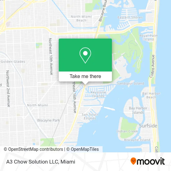
See A3 Chow Solution LLC, Miami, on the map
Public Transit to A3 Chow Solution LLC in Miami
Wondering how to get to A3 Chow Solution LLC in Miami? Moovit helps you find the best way to get to A3 Chow Solution LLC with step-by-step directions from the nearest public transit station.
Moovit provides free maps and live directions to help you navigate through your city. View schedules, routes, timetables, and find out how long does it take to get to A3 Chow Solution LLC in real time.
Looking for the nearest stop or station to A3 Chow Solution LLC? Check out this list of stops closest to your destination: Biscayne Bd & Ne 135 St; Biscayne Blvd@ne 135 St - Ne Corner; Ne 16 Av @ Ne 135 St; Highland Park.
Bus: 203, 3, NOMRED, NOMBLU, 16, 135, NMBEACC.
Want to see if there’s another route that gets you there at an earlier time? Moovit helps you find alternative routes or times. Get directions from and directions to A3 Chow Solution LLC easily from the Moovit App or Website.
We make riding to A3 Chow Solution LLC easy, which is why over 1.5 million users, including users in Miami, trust Moovit as the best app for public transit. You don’t need to download an individual bus app or train app, Moovit is your all-in-one transit app that helps you find the best bus time or train time available.
For information on prices of bus, costs and ride fares to A3 Chow Solution LLC, please check the Moovit app.
Use the app to navigate to popular places including to the airport, hospital, stadium, grocery store, mall, coffee shop, school, college, and university.
A3 Chow Solution LLC Address: 13499 Biscayne Blvd Miami, FL 33181 street in Miami
- Domer Marine,
- Gulf Capital,
- Florida Advocates,
- Blu Bros Yachts and Charters,
- Promedia,
- Gentili US,
- Data Recovery,
- Star Island Homes,
- Coppola Intl Realty,
- Sotolongo PA,
- Assalini Music,
- Avp Multi-Media,
- Lincoln Public Adjusting,
- Vacaciones en Florida,
- Financial Literacy & Life Vls Education,
- Forte Music & Arts Academy,
- Miami Real Estate,
- Executive Office Sales & LSG,
- Steam& Beyond,
- Exclusive Business Enterprises
Places Near A3 Chow Solution LLC (Miami)
- Dolphin Mall Bus, Miami,
- Marlins Park, Miami,
- Keiser University Flagship Campus, West Palm Beach,
- Aventura Mall, Miami Beach,
- Sawgrass Mall, Miami,
- Miami-Dade County Courthouse, Miami,
- Richard E. Gerstein Justice Building, Miami,
- Little Havana, Miami,
- Miami Design District, Miami,
- Port of Miami Cruise Terminal, Miami,
- Miami Freedom Park, Miami,
- Brickell City Centre, Miami,
- Dolphin Mall, Miami,
- Wynwood, Miami,
- Zoo Miami, Miami,
- Miami VA Hospital, Miami,
- Bayside Marketplace, Miami,
- Sawgrass mall ( FL ), Miami Beach,
- Hard Rock Stadium, Miami Gardens,
- Aventura Mall, Miami
How to get to popular places in Miami with public transit
Get around Miami by public transit!
Traveling around Miami has never been so easy. See step by step directions as you travel to any attraction, street or major public transit station. View bus and train schedules, arrival times, service alerts and detailed routes on a map, so you know exactly how to get to anywhere in Miami.
When traveling to any destination around Miami use Moovit's Live Directions with Get Off Notifications to know exactly where and how far to walk, how long to wait for your line, and how many stops are left. Moovit will alert you when it's time to get off — no need to constantly re-check whether yours is the next stop.
Wondering how to use public transit in Miami or how to pay for public transit in Miami? Moovit public transit app can help you navigate your way with public transit easily, and at minimum cost. It includes public transit fees, ticket prices, and costs. Looking for a map of Miami public transit lines? Moovit public transit app shows all public transit maps in Miami with all Bus, Train, Light Rail and Ferry routes and stops on an interactive map.
Miami has 4 transit type(s), including: Bus, Train, Light Rail and Ferry, operated by several transit agencies, including Broward County Transit, Miami-Dade Transit, Metrorail, Palm Tran, Tri-Rail, Brightline, MARTY, City of Homestead Trolley, Key West Transit, Treasure Coast Connector, GoLine IRT, Amtrak, Greyhound-us, FlixBus-us and Aventura Express Shuttle Bus