How to get to AG Bowling Pro Shop by bus?
Click on the bus route to see step by step directions with maps, line arrival times and updated time schedules.
From Tri-Rail-Pompano Beach Station, Pompano Beach
37 minFrom John Knox Village Health Center, Pompano Beach
50 minFrom Piper High School, Plantation
64 minFrom Walmart Supercenter, Fort Lauderdale
49 minFrom Blanche Ely High School, Pompano Beach
42 minFrom Crystal River, Fort Lauderdale
67 minFrom Sample Rd, Deerfield Beach
44 minFrom Walmart, Fort Lauderdale
48 minFrom Universal Injury Group, Fort Lauderdale
68 minFrom Alligator Alley, Fort Lauderdale
67 min
Bus stops near AG Bowling Pro Shop in Coral Springs-Margate
Bus lines to AG Bowling Pro Shop in Coral Springs-Margate
What are the closest stations to AG Bowling Pro Shop?
The closest stations to AG Bowling Pro Shop are:
- US 441/Northwest 19th Street is 236 yards away, 4 min walk.
- Copans Road & US 441 is 243 yards away, 4 min walk.
- Northwest 15th Street & US 441 is 641 yards away, 8 min walk.
Which bus lines stop near AG Bowling Pro Shop?
These bus lines stop near AG Bowling Pro Shop: 19, 441, 60, 83.
What’s the nearest bus station to AG Bowling Pro Shop in Coral Springs-Margate?
The nearest bus stations to AG Bowling Pro Shop in Coral Springs-Margate are US 441/Northwest 19th Street and Copans Road & US 441. The closest one is a 4 min walk away.
What time is the first bus to AG Bowling Pro Shop in Coral Springs-Margate?
The 19 is the first bus that goes to AG Bowling Pro Shop in Coral Springs-Margate. It stops nearby at 4:34 AM.
What time is the last bus to AG Bowling Pro Shop in Coral Springs-Margate?
The 19 is the last bus that goes to AG Bowling Pro Shop in Coral Springs-Margate. It stops nearby at 1:17 AM.
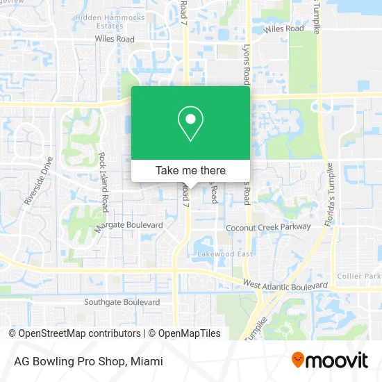
See AG Bowling Pro Shop, Coral Springs-Margate, on the map
Public Transit to AG Bowling Pro Shop in Coral Springs-Margate
Wondering how to get to AG Bowling Pro Shop in Coral Springs-Margate? Moovit helps you find the best way to get to AG Bowling Pro Shop with step-by-step directions from the nearest public transit station.
Moovit provides free maps and live directions to help you navigate through your city. View schedules, routes, timetables, and find out how long does it take to get to AG Bowling Pro Shop in real time.
Looking for the nearest stop or station to AG Bowling Pro Shop? Check out this list of stops closest to your destination: US 441/Northwest 19th Street; Copans Road & US 441; Northwest 15th Street & US 441.
Bus: 19, 441, 60, 83.
Want to see if there’s another route that gets you there at an earlier time? Moovit helps you find alternative routes or times. Get directions from and directions to AG Bowling Pro Shop easily from the Moovit App or Website.
We make riding to AG Bowling Pro Shop easy, which is why over 1.5 million users, including users in Coral Springs-Margate, trust Moovit as the best app for public transit. You don’t need to download an individual bus app or train app, Moovit is your all-in-one transit app that helps you find the best bus time or train time available.
For information on prices of bus, costs and ride fares to AG Bowling Pro Shop, please check the Moovit app.
Use the app to navigate to popular places including to the airport, hospital, stadium, grocery store, mall, coffee shop, school, college, and university.
AG Bowling Pro Shop Address: 2020 N SR-7 Pompano Beach, FL 33063 street in Coral Springs-Margate
- PNC Bank,
- Same Day Bail Bonds,
- Atlantic Disaster Response Group,
- H T Construction & Renovations,
- Florida Sunshine Home Medical,
- Castle Title Service,
- Singh Legal PLLC,
- Desnoes Investigations,
- Super Duper Garage Door Repair,
- US-441 / W Copans Rd,
- N US-441 / Royal Palm Blvd,
- Royal Palm Blvd / N State Road 7,
- Monro Auto Service and Tire Centers,
- Copans R Us 441,
- MSD Bakery,
- Skytell Computer Services,
- Goldsmith Barry P Chiropractic Phys,
- Super Tech Auto,
- Wilson Tint,
- Arrigo DODGE Margate
Places Near AG Bowling Pro Shop (Coral Springs-Margate)
- Brickell City Centre, Miami,
- Richard E. Gerstein Justice Building, Miami,
- Miami VA Hospital, Miami,
- Miami Freedom Park, Miami,
- Port of Miami Cruise Terminal, Miami,
- Hard Rock Stadium, Miami Gardens,
- Miami-Dade County Courthouse, Miami,
- Miami Design District, Miami,
- Dolphin Mall Bus, Miami,
- Dolphin Mall, Miami,
- Sawgrass mall ( FL ), Miami Beach,
- Aventura Mall, Miami,
- Marlins Park, Miami,
- Aventura Mall, Miami Beach,
- Wynwood, Miami,
- Sawgrass Mall, Miami,
- Bayside Marketplace, Miami,
- Zoo Miami, Miami,
- Little Havana, Miami,
- Keiser University Flagship Campus, West Palm Beach
How to get to popular places in Miami with public transit
Get around Coral Springs-Margate by public transit!
Traveling around Coral Springs-Margate has never been so easy. See step by step directions as you travel to any attraction, street or major public transit station. View bus and train schedules, arrival times, service alerts and detailed routes on a map, so you know exactly how to get to anywhere in Coral Springs-Margate.
When traveling to any destination around Coral Springs-Margate use Moovit's Live Directions with Get Off Notifications to know exactly where and how far to walk, how long to wait for your line, and how many stops are left. Moovit will alert you when it's time to get off — no need to constantly re-check whether yours is the next stop.
Wondering how to use public transit in Coral Springs-Margate or how to pay for public transit in Coral Springs-Margate? Moovit public transit app can help you navigate your way with public transit easily, and at minimum cost. It includes public transit fees, ticket prices, and costs. Looking for a map of Coral Springs-Margate public transit lines? Moovit public transit app shows all public transit maps in Coral Springs-Margate with all Bus, Train, Light Rail and Ferry routes and stops on an interactive map.
Miami has 4 transit type(s), including: Bus, Train, Light Rail and Ferry, operated by several transit agencies, including Broward County Transit, Miami-Dade Transit, Metrorail, Palm Tran, Tri-Rail, Brightline, MARTY, City of Homestead Trolley, Key West Transit, Treasure Coast Connector, GoLine IRT, Amtrak, Greyhound-us, FlixBus-us and Aventura Express Shuttle Bus