How to get to Abarotes Marcos by bus?
Click on the bus route to see step by step directions with maps, line arrival times and updated time schedules.
From Ejido la Guayana, Aguascalientes
63 minFrom Barlovento Residencial, Aguascalientes
42 minFrom Col. Los Arellano, Aguascalientes
46 minFrom Nissan Planta Powertrain, Aguascalientes
46 minFrom Parque Industrial Siglo XXI, Aguascalientes
47 minFrom Residencial San José de Pozo Bravo, Aguascalientes
25 minFrom Fracc. Lomas del Sur, Aguascalientes
38 minFrom Hacienda San Marcos, Aguascalientes
50 minFrom Fraccionamiento Natura, Aguascalientes
36 minFrom Avenida Tecnológico, Aguascalientes
25 min
Bus stops near Abarotes Marcos in Aguascalientes
Bus lines to Abarotes Marcos in Aguascalientes
What are the closest stations to Abarotes Marcos?
The closest stations to Abarotes Marcos are:
- General Enrique Estrada, 329 is 117 meters away, 2 min walk.
- General Miguel Barragán, 920 is 173 meters away, 3 min walk.
- Doctor Gerónimo De Orozco, 317 is 348 meters away, 5 min walk.
- Petróleos Mexicanos, 602 is 360 meters away, 5 min walk.
- Petróleos Mexicanos, 604 is 372 meters away, 5 min walk.
Which bus lines stop near Abarotes Marcos?
These bus lines stop near Abarotes Marcos: RUTA 01, RUTA 03, RUTA 27, RUTA 37.
What’s the nearest bus station to Abarotes Marcos in Aguascalientes?
The nearest bus station to Abarotes Marcos in Aguascalientes is General Enrique Estrada, 329. It’s a 2 min walk away.
What time is the first bus to Abarotes Marcos in Aguascalientes?
The RUTA 08 is the first bus that goes to Abarotes Marcos in Aguascalientes. It stops nearby at 6:12 AM.
What time is the last bus to Abarotes Marcos in Aguascalientes?
The RUTA 02 is the last bus that goes to Abarotes Marcos in Aguascalientes. It stops nearby at 10:27 PM.
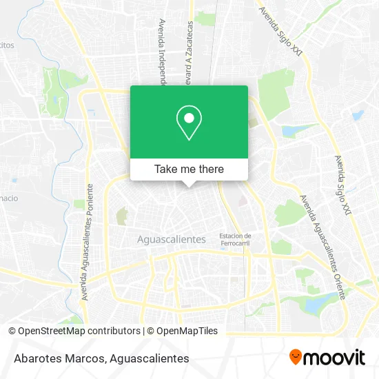
See Abarotes Marcos, Aguascalientes, on the map
Public Transit to Abarotes Marcos in Aguascalientes
Wondering how to get to Abarotes Marcos in Aguascalientes? Moovit helps you find the best way to get to Abarotes Marcos with step-by-step directions from the nearest public transit station.
Moovit provides free maps and live directions to help you navigate through your city. View schedules, routes, timetables, and find out how long does it take to get to Abarotes Marcos in real time.
Looking for the nearest stop or station to Abarotes Marcos? Check out this list of stops closest to your destination: General Enrique Estrada; General Miguel Barragán; Doctor Gerónimo De Orozco; Petróleos Mexicanos; Petróleos Mexicanos.
Bus: RUTA 01, RUTA 03, RUTA 27, RUTA 37, RUTA 08, RUTA 47, RUTA 02, RUTA 05, RUTA 09, RUTA 09, RUTA 34.
Want to see if there’s another route that gets you there at an earlier time? Moovit helps you find alternative routes or times. Get directions from and directions to Abarotes Marcos easily from the Moovit App or Website.
We make riding to Abarotes Marcos easy, which is why over 1.5 million users, including users in Aguascalientes, trust Moovit as the best app for public transit. You don’t need to download an individual bus app or train app, Moovit is your all-in-one transit app that helps you find the best bus time or train time available.
For information on prices of bus, costs and ride fares to Abarotes Marcos, please check the Moovit app.
Use the app to navigate to popular places including to the airport, hospital, stadium, grocery store, mall, coffee shop, school, college, and university.
Abarotes Marcos Address: Calle Sargento Liberato Santa Cruz 604, Gremial, 20030 Aguascalientes, Aguascalientes street in Aguascalientes
- Regalos Coco,
- Pollería La Favorita,
- Frutas y Verduras,
- Atp Energy,
- Metales Caballero,
- Ktn Pro Beisbol,
- Quesos la Hacienda,
- Design Group Agencia,
- Refacciones Usadas Ruvalcaba,
- Cuevas y Asociados Abogados,
- Akrocell Ags,
- Asesorios para Celular Akrocell,
- Loncheria Solis,
- Pizzeria Antojeria Maya,
- Venta de Semillas para Siembra Agrícola Davila,
- Lingerie Beauty Interior,
- La Valentina Cantina Bar,
- Embobinados La Balanza,
- Autocristales Ochoa,
- Cmi Administracion y Gastronomía
Places Near Abarotes Marcos (Aguascalientes)
- Terminal De Combis, Aguascalientes,
- Blvd. Luis Donaldo Colosio, Aguascalientes,
- Agropecuario, Aguascalientes,
- clinica 3 uaa, Aguascalientes,
- Aeropuerto de Aguascalientes S.A. de C.V., Aguascalientes,
- Nuevo Hospital Hidalgo, Aguascalientes,
- Imss Clinica 1, Aguascalientes,
- Isla San Marcos, Aguascalientes,
- Central De Autobuses, Aguascalientes,
- Parque Las Tres Centurias, Aguascalientes,
- Villas de Nuestra Señora de la Asunción, Aguascalientes,
- ESPACIOS, Aguascalientes,
- Centro, Aguascalientes,
- Centro Comercial Altaria, Aguascalientes,
- Hospital Imss No. 3, Aguascalientes,
- Villasuncion, Aguascalientes,
- Ciudad industrial, Aguascalientes,
- La Isla San Marcos, Aguascalientes,
- Jesús María, Aguascalientes,
- Universidad Autónoma de Aguascalientes, Aguascalientes
How to get to popular places in Aguascalientes with public transit
Get around Aguascalientes by public transit!
Traveling around Aguascalientes has never been so easy. See step by step directions as you travel to any attraction, street or major public transit station. View bus and train schedules, arrival times, service alerts and detailed routes on a map, so you know exactly how to get to anywhere in Aguascalientes.
When traveling to any destination around Aguascalientes use Moovit's Live Directions with Get Off Notifications to know exactly where and how far to walk, how long to wait for your line, and how many stops are left. Moovit will alert you when it's time to get off — no need to constantly re-check whether yours is the next stop.
Wondering how to use public transit in Aguascalientes or how to pay for public transit in Aguascalientes? Moovit public transit app can help you navigate your way with public transit easily, and at minimum cost. It includes public transit fees, ticket prices, and costs. Looking for a map of Aguascalientes public transit lines? Moovit public transit app shows all public transit maps in Aguascalientes with all bus routes and stops on an interactive map.
Aguascalientes has 1 transit type(s), including: bus, operated by several transit agencies, including Coordinación General de Movilidad