How to get to Abarrotes El Chiras by bus?
Click on the bus route to see step by step directions with maps, line arrival times and updated time schedules.
From Fracc. La Estrella, Aguascalientes
55 minFrom Universidad Santa Fe, Aguascalientes
83 minFrom Av Siglo XXI, Aguascalientes
47 minFrom Tianguis de Los muertitos, Aguascalientes
53 minFrom Villas de Nuestra Señora de la Asunción, Aguascalientes
50 minFrom Avenida Paseo de La Solidaridad, Aguascalientes
50 minFrom Colonia del Carmen, Aguascalientes
45 minFrom DIF Municipal, Aguascalientes
31 minFrom Calle Privada Norberto Gómez Hornedo, Aguascalientes
42 minFrom Fraccionamiento La Rioja, Aguascalientes
71 min
Bus stops near Abarrotes El Chiras in Aguascalientes
Bus lines to Abarrotes El Chiras in Aguascalientes
What are the closest stations to Abarrotes El Chiras?
The closest stations to Abarrotes El Chiras are:
- Aguascalientes 18, 802 is 294 meters away, 4 min walk.
- Julio Cadena, 515 is 626 meters away, 8 min walk.
- Aguascalientes 18, 518 is 633 meters away, 9 min walk.
Which bus lines stop near Abarrotes El Chiras?
These bus lines stop near Abarrotes El Chiras: RUTA 11, RUTA 28.
What’s the nearest bus station to Abarrotes El Chiras in Aguascalientes?
The nearest bus station to Abarrotes El Chiras in Aguascalientes is Aguascalientes 18, 802. It’s a 4 min walk away.
What time is the first bus to Abarrotes El Chiras in Aguascalientes?
The RUTA 28 is the first bus that goes to Abarrotes El Chiras in Aguascalientes. It stops nearby at 5:59 AM.
What time is the last bus to Abarrotes El Chiras in Aguascalientes?
The RUTA 11 is the last bus that goes to Abarrotes El Chiras in Aguascalientes. It stops nearby at 10:20 PM.
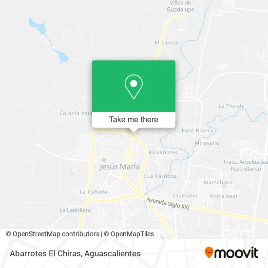
See Abarrotes El Chiras, Aguascalientes, on the map
Public Transit to Abarrotes El Chiras in Aguascalientes
Wondering how to get to Abarrotes El Chiras in Aguascalientes? Moovit helps you find the best way to get to Abarrotes El Chiras with step-by-step directions from the nearest public transit station.
Moovit provides free maps and live directions to help you navigate through your city. View schedules, routes, timetables, and find out how long does it take to get to Abarrotes El Chiras in real time.
Looking for the nearest stop or station to Abarrotes El Chiras? Check out this list of stops closest to your destination: Aguascalientes 18; Julio Cadena; Aguascalientes 18.
Bus: RUTA 11, RUTA 28, RUTA 04, RUTA 33, RUTA 06.
Want to see if there’s another route that gets you there at an earlier time? Moovit helps you find alternative routes or times. Get directions from and directions to Abarrotes El Chiras easily from the Moovit App or Website.
We make riding to Abarrotes El Chiras easy, which is why over 1.5 million users, including users in Aguascalientes, trust Moovit as the best app for public transit. You don’t need to download an individual bus app or train app, Moovit is your all-in-one transit app that helps you find the best bus time or train time available.
For information on prices of bus, costs and ride fares to Abarrotes El Chiras, please check the Moovit app.
Use the app to navigate to popular places including to the airport, hospital, stadium, grocery store, mall, coffee shop, school, college, and university.
Abarrotes El Chiras Address: Avenida Valladolid 895, Los Arroyitos, 20923 Jesús María, Aguascalientes street in Aguascalientes
- Hancer Gym,
- Recicladora Central,
- Shell,
- Boulevard Alejandro de la Cruz Saucedo 1,
- Rastro Municipal De Jesús María,
- Tractoaccesorios Garcia,
- Balmec,
- Jardín El Pedregal,
- Colegio Marcelo Silva,
- Ctro de Esp Dentales,
- Cocina Gourmet Marilu,
- Bazar El Tesoro,
- After Antro+Bar,
- Convento Misionero Madre de los Pobres,
- Sup Fiesta,
- Farm de Descuento Ufar,
- Los Pinos,
- Agrícola Guayaberos,
- Tornilleria Arquitas,
- Aqua Steam
Places Near Abarrotes El Chiras (Aguascalientes)
- Centro, Aguascalientes,
- Terminal De Combis, Aguascalientes,
- Ciudad industrial, Aguascalientes,
- Jesús María, Aguascalientes,
- clinica 3 uaa, Aguascalientes,
- La Isla San Marcos, Aguascalientes,
- Isla San Marcos, Aguascalientes,
- ESPACIOS, Aguascalientes,
- Parque Las Tres Centurias, Aguascalientes,
- Hospital Imss No. 3, Aguascalientes,
- Blvd. Luis Donaldo Colosio, Aguascalientes,
- Agropecuario, Aguascalientes,
- Nuevo Hospital Hidalgo, Aguascalientes,
- Central De Autobuses, Aguascalientes,
- Universidad Autónoma de Aguascalientes, Aguascalientes,
- Imss Clinica 1, Aguascalientes,
- Villas de Nuestra Señora de la Asunción, Aguascalientes,
- Aeropuerto de Aguascalientes S.A. de C.V., Aguascalientes,
- Villasuncion, Aguascalientes,
- Centro Comercial Altaria, Aguascalientes
How to get to popular places in Aguascalientes with public transit
Get around Aguascalientes by public transit!
Traveling around Aguascalientes has never been so easy. See step by step directions as you travel to any attraction, street or major public transit station. View bus and train schedules, arrival times, service alerts and detailed routes on a map, so you know exactly how to get to anywhere in Aguascalientes.
When traveling to any destination around Aguascalientes use Moovit's Live Directions with Get Off Notifications to know exactly where and how far to walk, how long to wait for your line, and how many stops are left. Moovit will alert you when it's time to get off — no need to constantly re-check whether yours is the next stop.
Wondering how to use public transit in Aguascalientes or how to pay for public transit in Aguascalientes? Moovit public transit app can help you navigate your way with public transit easily, and at minimum cost. It includes public transit fees, ticket prices, and costs. Looking for a map of Aguascalientes public transit lines? Moovit public transit app shows all public transit maps in Aguascalientes with all bus routes and stops on an interactive map.
Aguascalientes has 1 transit type(s), including: bus, operated by several transit agencies, including Coordinación General de Movilidad