How to get to Abraham Local Locksmith by bus?
Click on the bus route to see step by step directions with maps, line arrival times and updated time schedules.
From Town Center at Boca Raton-East, Boca Raton
28 minFrom Tri-Rail-Deerfield Beach Station, Deerfield Beach
59 minFrom Military Trail & Yamato Rd., Boca Raton
53 minFrom North Area Transportation Terminal, Pompano Beach
75 minFrom Intersection : N Andrews Ave & Sample Rd., Pompano Beach
57 minFrom Margate, FL, Coral Springs-Margate
47 minFrom Amazon Fulfillment Center-DMF3, Pompano Beach
74 minFrom Boca Regional Hospital, Boca Raton
61 minFrom Sample Rd, Deerfield Beach
40 min
Bus stops near Abraham Local Locksmith in Sunshine Parkway
Bus lines to Abraham Local Locksmith in Sunshine Parkway
What are the closest stations to Abraham Local Locksmith?
The closest stations to Abraham Local Locksmith are:
- US 441 & Sandalfoot Boulevard is 150 yards away, 2 min walk.
- Sandalfoot Blvd @ Bld0201 is 157 yards away, 2 min walk.
Which bus lines stop near Abraham Local Locksmith?
These bus lines stop near Abraham Local Locksmith: 19, 92.
What’s the nearest bus station to Abraham Local Locksmith in Sunshine Parkway?
The nearest bus stations to Abraham Local Locksmith in Sunshine Parkway are US 441 & Sandalfoot Boulevard and Sandalfoot Blvd @ Bld0201. The closest one is a 2 min walk away.
What time is the first bus to Abraham Local Locksmith in Sunshine Parkway?
The 19 is the first bus that goes to Abraham Local Locksmith in Sunshine Parkway. It stops nearby at 4:49 AM.
What time is the last bus to Abraham Local Locksmith in Sunshine Parkway?
The 19 is the last bus that goes to Abraham Local Locksmith in Sunshine Parkway. It stops nearby at 1:34 AM.
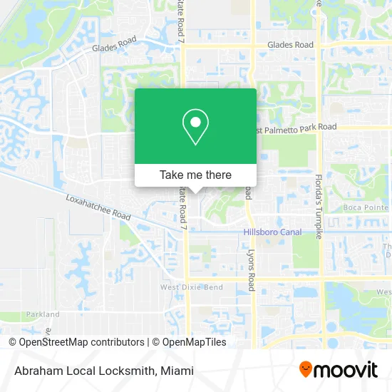
See Abraham Local Locksmith, Sunshine Parkway, on the map
Public Transit to Abraham Local Locksmith in Sunshine Parkway
Wondering how to get to Abraham Local Locksmith in Sunshine Parkway? Moovit helps you find the best way to get to Abraham Local Locksmith with step-by-step directions from the nearest public transit station.
Moovit provides free maps and live directions to help you navigate through your city. View schedules, routes, timetables, and find out how long does it take to get to Abraham Local Locksmith in real time.
Looking for the nearest stop or station to Abraham Local Locksmith? Check out this list of stops closest to your destination: US 441 & Sandalfoot Boulevard; Sandalfoot Blvd @ Bld0201.
Bus: 19, 92, 91.
Want to see if there’s another route that gets you there at an earlier time? Moovit helps you find alternative routes or times. Get directions from and directions to Abraham Local Locksmith easily from the Moovit App or Website.
We make riding to Abraham Local Locksmith easy, which is why over 1.5 million users, including users in Sunshine Parkway, trust Moovit as the best app for public transit. You don’t need to download an individual bus app or train app, Moovit is your all-in-one transit app that helps you find the best bus time or train time available.
For information on prices of bus, costs and ride fares to Abraham Local Locksmith, please check the Moovit app.
Use the app to navigate to popular places including to the airport, hospital, stadium, grocery store, mall, coffee shop, school, college, and university.
Abraham Local Locksmith Address: 9846 Sandalfoot Blvd Boca Raton, FL 33428 street in Sunshine Parkway
- Gersh,
- Accident Chiropractors,
- Klein Richard S DC Pa,
- Rosado Manuel,
- Brasusa Auto Care,
- TACO BELL,
- Eagles Best,
- Boca Grill Haus,
- Key Food,
- ATM,
- Northwood Locksmith,
- Gala Fresh Farms,
- Coinstar,
- Juvencio Rodriguez, Washington National Agent,
- Sonia Gibson, MD,
- King Louis Estate Managemetn Services,
- Blue Rhino,
- Youfit Gyms,
- Speedy Appliance Service,
- Kool Cuts and More
Places Near Abraham Local Locksmith (Sunshine Parkway)
- Dolphin Mall Bus, Miami,
- Miami VA Hospital, Miami,
- Keiser University Flagship Campus, West Palm Beach,
- Sawgrass mall ( FL ), Miami Beach,
- Port of Miami Cruise Terminal, Miami,
- Aventura Mall, Miami,
- Bayside Marketplace, Miami,
- Dolphin Mall, Miami,
- Little Havana, Miami,
- Brickell City Centre, Miami,
- Hard Rock Stadium, Miami Gardens,
- Sawgrass Mall, Miami,
- Marlins Park, Miami,
- Aventura Mall, Miami Beach,
- Miami Design District, Miami,
- Wynwood, Miami,
- Richard E. Gerstein Justice Building, Miami,
- Miami-Dade County Courthouse, Miami,
- Zoo Miami, Miami,
- Miami Freedom Park, Miami
How to get to popular places in Miami with public transit
Get around Sunshine Parkway by public transit!
Traveling around Sunshine Parkway has never been so easy. See step by step directions as you travel to any attraction, street or major public transit station. View bus and train schedules, arrival times, service alerts and detailed routes on a map, so you know exactly how to get to anywhere in Sunshine Parkway.
When traveling to any destination around Sunshine Parkway use Moovit's Live Directions with Get Off Notifications to know exactly where and how far to walk, how long to wait for your line, and how many stops are left. Moovit will alert you when it's time to get off — no need to constantly re-check whether yours is the next stop.
Wondering how to use public transit in Sunshine Parkway or how to pay for public transit in Sunshine Parkway? Moovit public transit app can help you navigate your way with public transit easily, and at minimum cost. It includes public transit fees, ticket prices, and costs. Looking for a map of Sunshine Parkway public transit lines? Moovit public transit app shows all public transit maps in Sunshine Parkway with all Bus, Train, Light Rail and Ferry routes and stops on an interactive map.
Miami has 4 transit type(s), including: Bus, Train, Light Rail and Ferry, operated by several transit agencies, including Broward County Transit, Miami-Dade Transit, Metrorail, Palm Tran, Tri-Rail, Brightline, MARTY, City of Homestead Trolley, Key West Transit, Treasure Coast Connector, GoLine IRT, Amtrak, Greyhound-us, FlixBus-us and Aventura Express Shuttle Bus