How to get to Abrami Maria by bus?
Click on the bus route to see step by step directions with maps, line arrival times and updated time schedules.
From Pyramid Village, Motta San Giovanni
57 minFrom San Giovanni di Sambatello, Reggio Di Calabria
77 minFrom Arghillà - Ecolandia, Reggio Di Calabria
70 minFrom Lido Sciao Beach, Reggio Di Calabria
46 minFrom Lidl Gallico Marina, Reggio Di Calabria
59 minFrom Frutti Del Grano Bakery of Viglianisi Maria, Reggio Di Calabria
41 minFrom Gallico Superiore, Reggio Di Calabria
49 min
Ferry station near Abrami Maria in Reggio Di Calabria
- Reggio Calabria, 36 min walk,VIEW
What are the closest stations to Abrami Maria?
The closest stations to Abrami Maria are:
- Reggio Calabria is 2802 meters away, 36 min walk.
Which bus lines stop near Abrami Maria?
These bus lines stop near Abrami Maria: 05-OTT, 115, 119, 16, 27, 28.
What time is the first bus to Abrami Maria in Reggio Di Calabria?
The 320 is the first bus that goes to Abrami Maria in Reggio Di Calabria. It stops nearby at 4:57 AM.
What time is the last bus to Abrami Maria in Reggio Di Calabria?
The 117 is the last bus that goes to Abrami Maria in Reggio Di Calabria. It stops nearby at 10:10 PM.
What time is the first ferry to Abrami Maria in Reggio Di Calabria?
The LIBERTY is the first ferry that goes to Abrami Maria in Reggio Di Calabria. It stops nearby at 5:55 AM.
What time is the last ferry to Abrami Maria in Reggio Di Calabria?
The LIBERTY is the last ferry that goes to Abrami Maria in Reggio Di Calabria. It stops nearby at 11:45 PM.
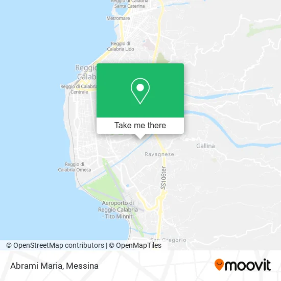
See Abrami Maria, Reggio Di Calabria, on the map
Public Transit to Abrami Maria in Reggio Di Calabria
Wondering how to get to Abrami Maria in Reggio Di Calabria? Moovit helps you find the best way to get to Abrami Maria with step-by-step directions from the nearest public transit station.
Moovit provides free maps and live directions to help you navigate through your city. View schedules, routes, timetables, and find out how long does it take to get to Abrami Maria in real time.
Looking for the nearest stop or station to Abrami Maria? Check out this list of stops closest to your destination: Reggio Calabria.
Bus: 05-OTT, 115, 119, 16, 27, 28.Ferry: LIBERTY.
Want to see if there’s another route that gets you there at an earlier time? Moovit helps you find alternative routes or times. Get directions from and directions to Abrami Maria easily from the Moovit App or Website.
We make riding to Abrami Maria easy, which is why over 1.5 million users, including users in Reggio Di Calabria, trust Moovit as the best app for public transit. You don’t need to download an individual bus app or train app, Moovit is your all-in-one transit app that helps you find the best bus time or train time available.
For information on prices of bus, ferry and train, costs and ride fares to Abrami Maria, please check the Moovit app.
Use the app to navigate to popular places including to the airport, hospital, stadium, grocery store, mall, coffee shop, school, college, and university.
Abrami Maria Address: Via Sbarre Superiori Dir. Laboccetta, 89132 Reggio di Calabria street in Reggio Di Calabria
- Mediterranean Stable Consortium for Development,
- Isolab,
- Laboccetta Branch Road / Sbarre Superiori Dir. Laboccetta,
- Scaramozzino Pastry Bar,
- Lys Fashion Yang,
- Unieuro Reggio Calabria,
- Sigma,
- Antares by Donatella,
- Crescibimbo,
- Bencivenni Auto S.p.A.,
- Contè Supermarkets,
- Carmelo Ficara,
- Ciccarello Street, 22,
- Cartaruga,
- San Pio X Parish,
- Apan (Apan Hotel Reggio Calabria)
Places Near Abrami Maria (Reggio Di Calabria)
- Messina Polyclinic, Messina,
- San Marco Hospital - Catania, Catania,
- Ognina, Catania,
- University Campus, Catania,
- Ikea Catania, Catania,
- Sicily Center, Catania,
- Polyclinic, Catania,
- Villa Bellini, Catania,
- Garibaldi Nesima Hospital, Catania,
- Cannizzaro Hospital, Catania,
- Catania Gates, Catania,
- PalaRescifina Stadium, Messina,
- Etnapolis Shopping Center, Belpasso,
- La Playa, Catania,
- Franco Scoglio Stadium, Messina,
- Santa Filomena Street 12, Catania,
- Etnapolis Shopping Center, Belpasso,
- San Filippo Stadium, Messina,
- Ice Rink, Catania,
- Porte di Catania Shopping Center, Catania
How to get to popular places in Messina with public transit
Get around Reggio Di Calabria by public transit!
Traveling around Reggio Di Calabria has never been so easy. See step by step directions as you travel to any attraction, street or major public transit station. View bus and train schedules, arrival times, service alerts and detailed routes on a map, so you know exactly how to get to anywhere in Reggio Di Calabria.
When traveling to any destination around Reggio Di Calabria use Moovit's Live Directions with Get Off Notifications to know exactly where and how far to walk, how long to wait for your line, and how many stops are left. Moovit will alert you when it's time to get off — no need to constantly re-check whether yours is the next stop.
Wondering how to use public transit in Reggio Di Calabria or how to pay for public transit in Reggio Di Calabria? Moovit public transit app can help you navigate your way with public transit easily, and at minimum cost. It includes public transit fees, ticket prices, and costs. Looking for a map of Reggio Di Calabria public transit lines? Moovit public transit app shows all public transit maps in Reggio Di Calabria with all Bus, Train, Metro, Ferry and Cable Car routes and stops on an interactive map.
Messina has 5 transit type(s), including: Bus, Train, Metro, Ferry and Cable Car, operated by several transit agencies, including FCE, Trenitalia, AMTS, ATM Messina, AST, Interbus, flibco, Etna Transport, SCAT - Tiemme, Giuntabus Transport, GiuntaBus, Sais Bus Lines S.p.A., Regional Bus Lines Ltd, Sberna Travel and Camarda & Drago