How to get to Acapella by bus?
Click on the bus route to see step by step directions with maps, line arrival times and updated time schedules.
From IMSS Hospital General de Zona No 2, Aguascalientes
51 minFrom Fracc. Lomas de Vista Bella, Aguascalientes
80 minFrom Transporte Colectivo Foraneo de Pasajeros, Aguascalientes
62 minFrom Residencial Alcazar, Aguascalientes
35 minFrom Foro del Lago, Aguascalientes
57 minFrom Amazon, Aguascalientes
54 minFrom Fraccionamiento El Dorado 1A Seccion, Aguascalientes
61 minFrom Instituto de Educacion de Aguascalientes, Aguascalientes
53 minFrom Chedraui Aguascalientes Asunción T250, Aguascalientes
67 minFrom Lomas de Vistabella, Aguascalientes
78 min
Bus stop near Acapella in Aguascalientes
- Calle Puerto Champoton, 112, 2 min walk,VIEW
Bus lines to Acapella in Aguascalientes
What are the closest stations to Acapella?
The closest stations to Acapella are:
- Calle Puerto Champoton, 112 is 124 meters away, 2 min walk.
Which bus lines stop near Acapella?
These bus lines stop near Acapella: RUTA 37, RUTA 43.
What’s the nearest bus station to Acapella in Aguascalientes?
The nearest bus station to Acapella in Aguascalientes is Calle Puerto Champoton, 112. It’s a 2 min walk away.
What time is the first bus to Acapella in Aguascalientes?
The RUTA 37 is the first bus that goes to Acapella in Aguascalientes. It stops nearby at 5:51 AM.
What time is the last bus to Acapella in Aguascalientes?
The RUTA 43 is the last bus that goes to Acapella in Aguascalientes. It stops nearby at 10:48 PM.
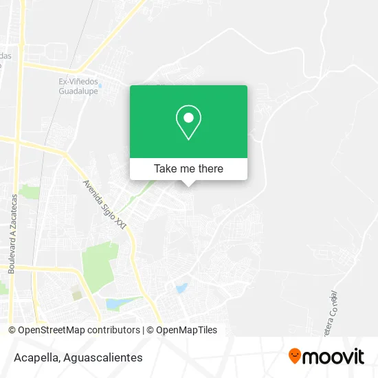
See Acapella, Aguascalientes, on the map
Public Transit to Acapella in Aguascalientes
Wondering how to get to Acapella in Aguascalientes? Moovit helps you find the best way to get to Acapella with step-by-step directions from the nearest public transit station.
Moovit provides free maps and live directions to help you navigate through your city. View schedules, routes, timetables, and find out how long does it take to get to Acapella in real time.
Looking for the nearest stop or station to Acapella? Check out this list of stops closest to your destination: Calle Puerto Champoton.
Bus: RUTA 37, RUTA 43, RUTA 08.
Want to see if there’s another route that gets you there at an earlier time? Moovit helps you find alternative routes or times. Get directions from and directions to Acapella easily from the Moovit App or Website.
We make riding to Acapella easy, which is why over 1.5 million users, including users in Aguascalientes, trust Moovit as the best app for public transit. You don’t need to download an individual bus app or train app, Moovit is your all-in-one transit app that helps you find the best bus time or train time available.
For information on prices of bus, costs and ride fares to Acapella, please check the Moovit app.
Use the app to navigate to popular places including to the airport, hospital, stadium, grocery store, mall, coffee shop, school, college, and university.
Acapella Address: Calle Sierra 128, Fraccionamiento Natura, 20126 Aguascalientes, Aguascalientes street in Aguascalientes
- Tacos Y Hamburguesas Hugo,
- Ventas del Deep Web,
- Fraccionamiento Natura,
- Tienda de Ropa Ximena,
- Acuario Natura,
- Perfumes,
- Base para Pizza,
- Kung Fu Esc Kuan Yin Aguascalintes,
- Carniceria Turin,
- Mini Super Oliver,
- WESTERN UNION,
- Aqua Lite Natura,
- Tiendas 3B,
- Calle Celestino Lopez Sanchez,
- Calle Puerto dos Bocas 57,
- Neveria,
- Abarrotes Champoton,
- Escuela Primaria Juana de Asbaje,
- Calle Puerto Lazaro Cardenas 322,
- WESTERN UNION
Places Near Acapella (Aguascalientes)
- Agropecuario, Aguascalientes,
- Nuevo Hospital Hidalgo, Aguascalientes,
- Centro Comercial Altaria, Aguascalientes,
- ESPACIOS, Aguascalientes,
- Villas de Nuestra Señora de la Asunción, Aguascalientes,
- Imss Clinica 1, Aguascalientes,
- Blvd. Luis Donaldo Colosio, Aguascalientes,
- Central De Autobuses, Aguascalientes,
- Jesús María, Aguascalientes,
- Universidad Autónoma de Aguascalientes, Aguascalientes,
- clinica 3 uaa, Aguascalientes,
- Hospital Imss No. 3, Aguascalientes,
- La Isla San Marcos, Aguascalientes,
- Villasuncion, Aguascalientes,
- Aeropuerto de Aguascalientes S.A. de C.V., Aguascalientes,
- Ciudad industrial, Aguascalientes,
- Parque Las Tres Centurias, Aguascalientes,
- Terminal De Combis, Aguascalientes,
- Centro, Aguascalientes,
- Isla San Marcos, Aguascalientes
How to get to popular places in Aguascalientes with public transit
Get around Aguascalientes by public transit!
Traveling around Aguascalientes has never been so easy. See step by step directions as you travel to any attraction, street or major public transit station. View bus and train schedules, arrival times, service alerts and detailed routes on a map, so you know exactly how to get to anywhere in Aguascalientes.
When traveling to any destination around Aguascalientes use Moovit's Live Directions with Get Off Notifications to know exactly where and how far to walk, how long to wait for your line, and how many stops are left. Moovit will alert you when it's time to get off — no need to constantly re-check whether yours is the next stop.
Wondering how to use public transit in Aguascalientes or how to pay for public transit in Aguascalientes? Moovit public transit app can help you navigate your way with public transit easily, and at minimum cost. It includes public transit fees, ticket prices, and costs. Looking for a map of Aguascalientes public transit lines? Moovit public transit app shows all public transit maps in Aguascalientes with all bus routes and stops on an interactive map.
Aguascalientes has 1 transit type(s), including: bus, operated by several transit agencies, including Coordinación General de Movilidad