Directions to Action Auto (Wichita) with public transportation
The following transit lines have routes that pass near Action Auto
How to get to Action Auto by bus?
Click on the bus route to see step by step directions with maps, line arrival times and updated time schedules.
From Integrated Plastics Solutions, Wichita
50 minFrom Tyler E Heffron Attorney, Wichita
49 minFrom I-35 S Entrance Wichita, Wichita
66 minFrom TACO BELL, Wichita
57 minFrom Club House at Wilson Estates, Wichita
36 minFrom Popeyes LOUISIANA KITCHEN, Wichita
45 minFrom Siteone Landscape Supply, Wichita
60 minFrom Beauty Design by Elena, Wichita
50 minFrom Kansas Medical Associates Wellness MD Spa, Wichita
39 min
Bus stops near Action Auto in Wichita
Bus lines to Action Auto in Wichita
What are the closest stations to Action Auto?
The closest stations to Action Auto are:
- Grove And 13th St Ob is 12 yards away, 1 min walk.
- 13th St And Grove Ib is 91 yards away, 2 min walk.
Which bus lines stop near Action Auto?
These bus lines stop near Action Auto: ROUTE27: N BDWY-, ROUTE28: KU MED-.
What’s the nearest bus station to Action Auto in Wichita?
The nearest bus station to Action Auto in Wichita is Grove And 13th St Ob. It’s a 1 min walk away.
What time is the first bus to Action Auto in Wichita?
The ROUTE28: KU MED- is the first bus that goes to Action Auto in Wichita. It stops nearby at 5:21 AM.
What time is the last bus to Action Auto in Wichita?
The ROUTE28: KU MED- is the last bus that goes to Action Auto in Wichita. It stops nearby at 7:10 PM.
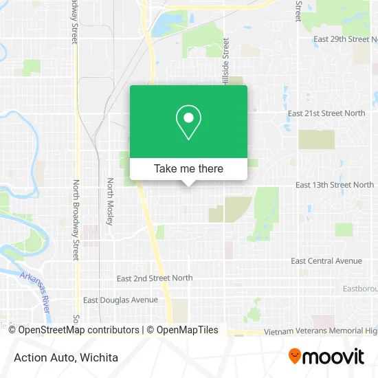
See Action Auto, Wichita, on the map
Public Transit to Action Auto in Wichita
Wondering how to get to Action Auto in Wichita? Moovit helps you find the best way to get to Action Auto with step-by-step directions from the nearest public transit station.
Moovit provides free maps and live directions to help you navigate through your city. View schedules, routes, timetables, and find out how long does it take to get to Action Auto in real time.
Looking for the nearest stop or station to Action Auto? Check out this list of stops closest to your destination: Grove And 13th St Ob; 13th St And Grove Ib.
Bus: ROUTE27: N BDWY-, ROUTE28: KU MED-, NORTH HIGH SCHOO.
Want to see if there’s another route that gets you there at an earlier time? Moovit helps you find alternative routes or times. Get directions from and directions to Action Auto easily from the Moovit App or Website.
We make riding to Action Auto easy, which is why over 1.5 million users, including users in Wichita, trust Moovit as the best app for public transit. You don’t need to download an individual bus app or train app, Moovit is your all-in-one transit app that helps you find the best bus time or train time available.
For information on prices of bus, costs and ride fares to Action Auto, please check the Moovit app.
Use the app to navigate to popular places including to the airport, hospital, stadium, grocery store, mall, coffee shop, school, college, and university.
Action Auto Address: 1350 N Grove St Wichita, KS 67214 street in Wichita
- Rubber Kings Tire & Tow,
- Krispy Krunchy Chicken,
- Uncle Bill's Bail Bonds,
- Shock Wireless Cell Phone Store 2423 E 13th St N Wichita, KS,
- Grove and 13th St,
- Richard Brian Hilgenfeld, MD,
- Erin Elizabeth Harrington, Aprn,
- Air Capital Automotive,
- Chrysalis Center, Inc.,
- Fred Douglas Lodge 99 Masonic (Fred Douglas Ldg 99 Masonic Temple),
- Fred Douglass Lodge No. 99,
- Billy Washington,
- Wichita Elementary School (Sam E Spaght Elementary School),
- Spaght Multimedia Magnet,
- Core Gardens of Wichita - Robin Rounds Memorial Garden,
- Deck Savers,
- Liberty Hall Family Church,
- The Center,
- The Academy of Excellence,
- Lucky 7 Pawn Shop & Payday Loans
Places Near Action Auto (Wichita)
- Four Corners Cafe @ Wesley Medical Center, Wichita,
- Spirit AeroSystems, Bldg 2-280J (Section 9),
- McConnell Air Force Base, Mcconnell Afb,
- Bmer Tech Automotive, Wichita,
- Afghan Halal Market, Wichita,
- East 21st Street North and Webb Road, Wichita,
- Ratcliff Auto and Truck Repair, Wichita,
- Paige Place Apartments, Wichita,
- Wichita Dwight D. Eisenhower National Airport (ICT) (Wichita Eisenhower National Airport), Wichita,
- Westside Athletic Field (Friends University Baseball Field), Wichita,
- 21st & Maize, Wichita,
- Lopez Services, Wichita,
- Towne East Mall, Wichita,
- Spirit Aerosystems,
- Ascencion Via Christi Hospital St Francis, Wichita,
- Hubb's glory hole, Wichita,
- North High School, Wichita,
- Spirit Aerosystems Inc, Building 1-198D,
- Total Card Solutions, Wichita,
- Sena African Hair Braiding LLC, Wichita
How to get to popular places in Wichita with public transit
Get around Wichita by public transit!
Traveling around Wichita has never been so easy. See step by step directions as you travel to any attraction, street or major public transit station. View bus and train schedules, arrival times, service alerts and detailed routes on a map, so you know exactly how to get to anywhere in Wichita.
When traveling to any destination around Wichita use Moovit's Live Directions with Get Off Notifications to know exactly where and how far to walk, how long to wait for your line, and how many stops are left. Moovit will alert you when it's time to get off — no need to constantly re-check whether yours is the next stop.
Wondering how to use public transit in Wichita or how to pay for public transit in Wichita? Moovit public transit app can help you navigate your way with public transit easily, and at minimum cost. It includes public transit fees, ticket prices, and costs. Looking for a map of Wichita public transit lines? Moovit public transit app shows all public transit maps in Wichita with all bus routes and stops on an interactive map.
Wichita has 1 transit type(s), including: bus, operated by several transit agencies, including Wichita Transit, Greyhound-us and FlixBus-us