How to get to Acuity Systems by bus?
Click on the bus route to see step by step directions with maps, line arrival times and updated time schedules.
From Dulles Discovery, Fairfax County
54 minFrom King Spa, Loudoun County
194 minFrom National Reconnaissance Office, Fairfax County
62 minFrom Fair Oaks Mall, Fairfax County
67 minFrom Sterling VA USA, Loudoun County
60 minFrom Dulles Expo Center, Fairfax County
75 minFrom Arabx Com Inc, Fairfax County
99 minFrom Inova Fair Oaks Hospital, Fairfax County
53 minFrom Hollywood Casino at Charles Town Races, Fairfax County
59 minFrom Ashby Ponds, Loudoun County
87 min
Bus stops near Acuity Systems in Fairfax County
Metro station near Acuity Systems in Fairfax County
- Reston Town Center, 30 min walk,VIEW
Bus lines to Acuity Systems in Fairfax County
What are the closest stations to Acuity Systems?
The closest stations to Acuity Systems are:
- Station St @ W&Od Tr is 71 yards away, 1 min walk.
- Elden St @ Center St is 155 yards away, 2 min walk.
- Elden St @ Monroe St is 231 yards away, 3 min walk.
- Park Ave @ Branch Dr is 715 yards away, 9 min walk.
- Reston Town Center is 2574 yards away, 30 min walk.
Which bus lines stop near Acuity Systems?
These bus lines stop near Acuity Systems: 553, 605, 921, 924, 950.
What’s the nearest metro station to Acuity Systems in Fairfax County?
The nearest metro station to Acuity Systems in Fairfax County is Reston Town Center. It’s a 30 min walk away.
What’s the nearest bus station to Acuity Systems in Fairfax County?
The nearest bus station to Acuity Systems in Fairfax County is Station St @ W&Od Tr. It’s a 1 min walk away.
What time is the first metro to Acuity Systems in Fairfax County?
The SILVER is the first metro that goes to Acuity Systems in Fairfax County. It stops nearby at 5:04 AM.
What time is the last metro to Acuity Systems in Fairfax County?
The SILVER is the last metro that goes to Acuity Systems in Fairfax County. It stops nearby at 12:58 AM.
What time is the first bus to Acuity Systems in Fairfax County?
The 950 is the first bus that goes to Acuity Systems in Fairfax County. It stops nearby at 4:19 AM.
What time is the last bus to Acuity Systems in Fairfax County?
The 950 is the last bus that goes to Acuity Systems in Fairfax County. It stops nearby at 1:16 AM.
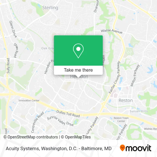
See Acuity Systems, Fairfax County, on the map
Public Transit to Acuity Systems in Fairfax County
Wondering how to get to Acuity Systems in Fairfax County? Moovit helps you find the best way to get to Acuity Systems with step-by-step directions from the nearest public transit station.
Moovit provides free maps and live directions to help you navigate through your city. View schedules, routes, timetables, and find out how long does it take to get to Acuity Systems in real time.
Looking for the nearest stop or station to Acuity Systems? Check out this list of stops closest to your destination: Station St @ W&Od Tr; Elden St @ Center St; Elden St @ Monroe St; Park Ave @ Branch Dr; Reston Town Center.
Bus: 553, 605, 921, 924, 950, 937, RIBS5.Metro: SILVER.
Want to see if there’s another route that gets you there at an earlier time? Moovit helps you find alternative routes or times. Get directions from and directions to Acuity Systems easily from the Moovit App or Website.
We make riding to Acuity Systems easy, which is why over 1.5 million users, including users in Fairfax County, trust Moovit as the best app for public transit. You don’t need to download an individual bus app or train app, Moovit is your all-in-one transit app that helps you find the best bus time or train time available.
For information on prices of bus and metro, costs and ride fares to Acuity Systems, please check the Moovit app.
Use the app to navigate to popular places including to the airport, hospital, stadium, grocery store, mall, coffee shop, school, college, and university.
Acuity Systems Address: 754 Elden St street in Fairfax County
- Jennifer Hoyer - Remax Distinctive Real Estate,
- TPI Group,
- Artemis Global,
- Morton's,
- Edward Jones - Financial Advisor: Brad M Blaisdell,
- Barbara Kavchok,
- Illusions Hair Salon,
- Hontech,
- Ice House Cafe & Oyster Bar - Jazz,
- Herndon, Virginia,
- Products,
- Neftali Remodeling and Paint,
- Ashom,
- Stylezbydew,
- CCR - Commercial & Condominium Renovations,
- Dars Appliance Repair,
- Belasli Hydration Bar & Wellness,
- Laino Bookkeeping Services,
- Fasthelpers,
- Cauhoi Tutors
Places Near Acuity Systems (Fairfax County)
- National Zoo, Washington,
- The Anthem, Washington,
- PG Mall, Prince George's County,
- Sibley Memorial Hospital, Washington,
- Washington DC VA Medical Center, Washington,
- Amazon Hq2, Arlington County,
- Westfield Montgomery Mall, Montgomery County,
- Basilica of the National Shrine, Washington,
- M&T Bank Stadium, Baltimore,
- Rock Creek Tennis Center, Washington,
- National Museum of African American History and Culture, Washington,
- Washington National Cathedral, Washington,
- National Mall, Washington,
- Marriott Marquis Washington, DC, Washington,
- Camden Yards, Baltimore,
- Pennsylvania Ave NW (3rd st and pennsylvania), Washington,
- Warner Theatre, Washington,
- Capital One Arena, Washington,
- Georgetown, Washington,
- Museum Of The Bible, Washington
How to get to popular places in Washington, D.C. - Baltimore, MD with public transit
Get around Fairfax County by public transit!
Traveling around Fairfax County has never been so easy. See step by step directions as you travel to any attraction, street or major public transit station. View bus and train schedules, arrival times, service alerts and detailed routes on a map, so you know exactly how to get to anywhere in Fairfax County.
When traveling to any destination around Fairfax County use Moovit's Live Directions with Get Off Notifications to know exactly where and how far to walk, how long to wait for your line, and how many stops are left. Moovit will alert you when it's time to get off — no need to constantly re-check whether yours is the next stop.
Wondering how to use public transit in Fairfax County or how to pay for public transit in Fairfax County? Moovit public transit app can help you navigate your way with public transit easily, and at minimum cost. It includes public transit fees, ticket prices, and costs. Looking for a map of Fairfax County public transit lines? Moovit public transit app shows all public transit maps in Fairfax County with all Bus, Train, Metro, Light Rail and Ferry routes and stops on an interactive map.
Washington, D.C. - Baltimore, MD has 5 transit type(s), including: Bus, Train, Metro, Light Rail and Ferry, operated by several transit agencies, including WMATA, Montgomery County Ride On, Fairfax Connector, TheBus, PRTC, DASH - Alexandria, Arlington Transit (ART), RTA of Central Maryland, MDOT MTA, MDOT MTA Light RailLink, MDOT MTA Commuter Bus, MDOT MTA Local Bus, FXBGO!, Virginia Railway Express (VRE) and MARC