Directions to Acv Confeccoes (Paulista) with public transportation
The following transit lines have routes that pass near Acv Confeccoes
How to get to Acv Confeccoes by bus?
Click on the bus route to see step by step directions with maps, line arrival times and updated time schedules.
From BR 101 Sentido Paulista/Recife, Paulista
33 minFrom Arruda, Arruda
64 minFrom Hospital Infantil Maria Lucinda, Olinda
41 minFrom Água Fria, Água Fria
69 minFrom TI Igarassu - TI Pelopidas, Igarassu
52 minFrom Praça do Rosarinho, Rosarinho
69 minFrom Rm Terceirização, Encruzilhada
71 minFrom Cemitério De Santo Amaro, Santo Amaro
54 minFrom Mobi, Santo Amaro
55 minFrom Avenida Vereador Otacílio Azevedo, Brejo Da Guabiraba
49 min
Bus stops near Acv Confeccoes in Paulista
Bus lines to Acv Confeccoes in Paulista
- 1907 PAULISTA / RIO DOCE, Via Nobre E Bultrins,VIEW
- 1952 TI PELÓPIDAS / TI RIO DOCE, Via Av. Brasil,VIEW
- 1996 ARTHUR LUNDGREN II / RIO DOCE (PARATIBE), Arthur Lundgren II / Rio Doce (Paratibe),VIEW
- 1928 MARANGUAPE II (BACURAU), Maranguape II (Bacurau),VIEW
- 1929 ALAMEDA PAULISTA / TI RIO DOCE (MARANGUAPE I), Alameda Paulista / Ti Rio Doce (Maranguape I),VIEW
- 1978 LOTEAMENTO CONCEIÇÃO / TI RIO DOCE (PE-22), Loteamento Conceição / Ti Rio Doce (Pe-22),VIEW
What are the closest stations to Acv Confeccoes?
The closest stations to Acv Confeccoes are:
- Av. Nelson Ferreira, 36 | Supermercado Horti-Fruti is 117 meters away, 2 min walk.
- Av. Nelson Ferreira, 64 | Wk is 277 meters away, 4 min walk.
- Av. Brasil, 24 | Mjs Borracharia is 479 meters away, 7 min walk.
Which bus line stops near Acv Confeccoes?
1952 TI PELÓPIDAS / TI RIO DOCE (Via Av. Nelson Ferreira)
What’s the nearest bus station to Acv Confeccoes in Paulista?
The nearest bus station to Acv Confeccoes in Paulista is Av. Nelson Ferreira, 36 | Supermercado Horti-Fruti. It’s a 2 min walk away.
What time is the first bus to Acv Confeccoes in Paulista?
The 1928 MARANGUAPE II (BACURAU) is the first bus that goes to Acv Confeccoes in Paulista. It stops nearby at 3:36 AM.
What time is the last bus to Acv Confeccoes in Paulista?
The 1928 MARANGUAPE II (BACURAU) is the last bus that goes to Acv Confeccoes in Paulista. It stops nearby at 2:44 AM.
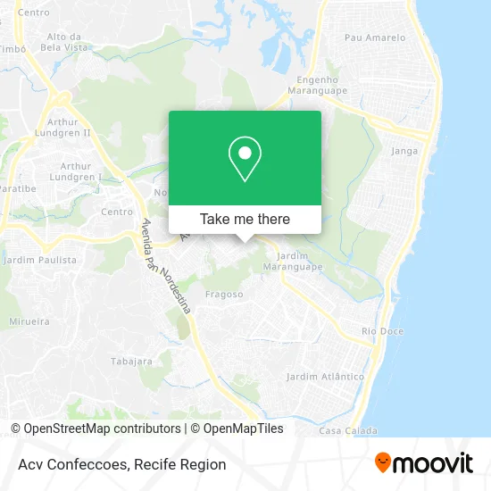
See Acv Confeccoes, Paulista, on the map
Public Transit to Acv Confeccoes in Paulista
Wondering how to get to Acv Confeccoes in Paulista? Moovit helps you find the best way to get to Acv Confeccoes with step-by-step directions from the nearest public transit station.
Moovit provides free maps and live directions to help you navigate through your city. View schedules, routes, timetables, and find out how long does it take to get to Acv Confeccoes in real time.
Looking for the nearest stop or station to Acv Confeccoes? Check out this list of stops closest to your destination: Av. Nelson Ferreira; Av. Nelson Ferreira; Av. Brasil.
Bus: 1952 TI PELÓPIDAS / TI RIO DOCE, 1907 PAULISTA / RIO DOCE, 1996 ARTHUR LUNDGREN II / RIO DOCE (PARATIBE), 1928 MARANGUAPE II (BACURAU), 1929 ALAMEDA PAULISTA / TI RIO DOCE (MARANGUAPE I), 1978 LOTEAMENTO CONCEIÇÃO / TI RIO DOCE (PE-22).
Want to see if there’s another route that gets you there at an earlier time? Moovit helps you find alternative routes or times. Get directions from and directions to Acv Confeccoes easily from the Moovit App or Website.
We make riding to Acv Confeccoes easy, which is why over 1.5 million users, including users in Paulista, trust Moovit as the best app for public transit. You don’t need to download an individual bus app or train app, Moovit is your all-in-one transit app that helps you find the best bus time or train time available.
For information on prices of bus, costs and ride fares to Acv Confeccoes, please check the Moovit app.
Use the app to navigate to popular places including to the airport, hospital, stadium, grocery store, mall, coffee shop, school, college, and university.
Acv Confeccoes Address: Rua Oitenta e Sete, 108 Maranguape I Paulista-PE 53441-330 street in Paulista
- Maranguape I / Paulista (Nelson Ferreira),
- Escola Municipal Dr. Carlos Alves,
- Avenida Nelson Ferreira,
- Rw Academia - Unidade Maranguape 1,
- Espetinho Entre Amigos,
- Portal do Temaki,
- Açaí no Grau Maranguape I,
- AM Altas Horas,
- Rua 88 Qd 66 Maranguape 1,
- Aurea Anita,
- Cabrobó-PE,
- Maranguape I,
- Rua 102/ Maranguape l,
- Praça Emílio Russel,
- EREM Prof. Arnaldo Carneiro Leão,
- Focus Lp,
- R5,
- Márcia Bolos e Tortas,
- Mega Clima Climatizacao and Refrigeracao,
- R10
Places Near Acv Confeccoes (Paulista)
- SHOPPING TACARUNA, Santo Amaro,
- SHOPPING GUARARAPES, Jaboatão Dos Guararapes,
- Hospital Eduardo Campus Da Pessoa Idosa, Areias,
- Centro de Convenções de Pernambuco, Olinda,
- Hospital Maria Lucinda, Parnamirim,
- Shopping Recife, Boa Viagem,
- Parque da Jaqueira, Jaqueira,
- Arena de Pernambuco, São Lourenço Da Mata,
- Marco Zero, Bairro Do Recife,
- Imip (Instituto Materno-Infantil De Pernambuco), Coelhos,
- Hospital Altino Ventura, Iputinga,
- Hospital Agamenon Magalhães, Tamarineira,
- llll, Fundão,
- Imbiribeira, Imbiribeira,
- Shopping RioMar Recife, Pina,
- Hospital Universitário Oswaldo Cruz, Santo Amaro,
- hospital otavio de freitas - UTI, Tejipió,
- Hospital Geral De Areias, Areias,
- Shopping Patteo Olinda, Olinda,
- tuuuuu, Olinda
How to get to popular places in Recife Region with public transit
Get around Paulista by public transit!
Traveling around Paulista has never been so easy. See step by step directions as you travel to any attraction, street or major public transit station. View bus and train schedules, arrival times, service alerts and detailed routes on a map, so you know exactly how to get to anywhere in Paulista.
When traveling to any destination around Paulista use Moovit's Live Directions with Get Off Notifications to know exactly where and how far to walk, how long to wait for your line, and how many stops are left. Moovit will alert you when it's time to get off — no need to constantly re-check whether yours is the next stop.
Wondering how to use public transit in Paulista or how to pay for public transit in Paulista? Moovit public transit app can help you navigate your way with public transit easily, and at minimum cost. It includes public transit fees, ticket prices, and costs. Looking for a map of Paulista public transit lines? Moovit public transit app shows all public transit maps in Paulista with all Bus, Train and Subway routes and stops on an interactive map.
Recife Region has 3 transit type(s), including: Bus, Train and Subway, operated by several transit agencies, including CBTU (Metrorec), BRT (Via Livre), Grande Recife, BORBOREMA IMPERIAL (TIP), BORBOREMA IMPERIAL (B.V), RODOVIÁRIA POTENGY, EMPRESA METROPOLITANA, CONSÓRCIO RECIFE, SÃO JUDAS TADEU, Expresso 1002, Rodotur Turismo, Complementar Recife, Sistema Municipal - Jaboatão, Sistema Municipal - Cabo and Sistema Municipal - Ipojuca