How to get to Add Local by bus?
Click on the bus route to see step by step directions with maps, line arrival times and updated time schedules.
From Regeneron Pharmaceuticals Inc, Tarrytown
84 minFrom Westchester Mall, White Plains
32 minFrom Cross County Shopping Center, Yonkers
84 minFrom Cross County Mall, Yonkers
84 minFrom White Plains, NY, White Plains
31 minFrom Mamaroneck NY, Mamaroneck
47 minFrom New Rochelle, NY, New Rochelle
45 minFrom Ridge Hill Mall, Yonkers
86 minFrom NBC Sports Shuttle, Stamford
101 minFrom GFFF, Stamford
115 min
How to get to Add Local by train?
Click on the train route to see step by step directions with maps, line arrival times and updated time schedules.
Bus stops near Add Local in Rye Brook
Train station near Add Local in Rye Brook
- Rye, 14 min walk,VIEW
What are the closest stations to Add Local?
The closest stations to Add Local are:
- Westchester Ave @ N Ridge St is 550 yards away, 7 min walk.
- Rye is 1143 yards away, 14 min walk.
- Ridge St @ High St is 1212 yards away, 15 min walk.
Which bus lines stop near Add Local?
These bus lines stop near Add Local: 13, 61.
Which train line stops near Add Local?
3 (1316#| Stamford)
What’s the nearest train station to Add Local in Rye Brook?
The nearest train station to Add Local in Rye Brook is Rye. It’s a 14 min walk away.
What’s the nearest bus station to Add Local in Rye Brook?
The nearest bus station to Add Local in Rye Brook is Westchester Ave @ N Ridge St. It’s a 7 min walk away.
What time is the first train to Add Local in Rye Brook?
The 3 is the first train that goes to Add Local in Rye Brook. It stops nearby at 4:54 AM.
What time is the last train to Add Local in Rye Brook?
The 3 is the last train that goes to Add Local in Rye Brook. It stops nearby at 2:42 AM.
What time is the first bus to Add Local in Rye Brook?
The 13 is the first bus that goes to Add Local in Rye Brook. It stops nearby at 5:37 AM.
What time is the last bus to Add Local in Rye Brook?
The 13 is the last bus that goes to Add Local in Rye Brook. It stops nearby at 10:45 PM.
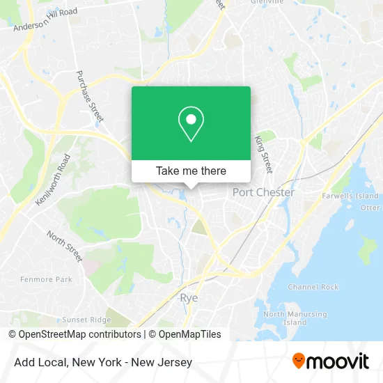
See Add Local, Rye Brook, on the map
Public Transit to Add Local in Rye Brook
Wondering how to get to Add Local in Rye Brook? Moovit helps you find the best way to get to Add Local with step-by-step directions from the nearest public transit station.
Moovit provides free maps and live directions to help you navigate through your city. View schedules, routes, timetables, and find out how long does it take to get to Add Local in real time.
Looking for the nearest stop or station to Add Local? Check out this list of stops closest to your destination: Westchester Ave @ N Ridge St; Rye; Ridge St @ High St.
Bus: 13, 61.Train: 3, 4.
Want to see if there’s another route that gets you there at an earlier time? Moovit helps you find alternative routes or times. Get directions from and directions to Add Local easily from the Moovit App or Website.
We make riding to Add Local easy, which is why over 1.5 million users, including users in Rye Brook, trust Moovit as the best app for public transit. You don’t need to download an individual bus app or train app, Moovit is your all-in-one transit app that helps you find the best bus time or train time available.
For information on prices of bus and train, costs and ride fares to Add Local, please check the Moovit app.
Use the app to navigate to popular places including to the airport, hospital, stadium, grocery store, mall, coffee shop, school, college, and university.
Add Local Address: 7 Rye Ridge Plz street in Rye Brook
- Dynamic Drone Data,
- Hsubox Productions Inc.,
- The Law Office Of Suzanne M. Saia,
- Bahati Collective,
- The Art Of K9 Dog Training & Behavioral Modification,
- Natureview Design Group,
- Green Rush by Design,
- Pc Techz,
- Hott Blowdry Bar,
- Daiso - Japanese Household Goods,
- Moving Forward Connections,
- Pinstripe Fuel Oil,
- STARBUCKS,
- Amarélla Aesthetics,
- Sbg Home & Design,
- Citymd Rye Brook,
- Saving Paws Rescue,
- Madison's Niche (Rye Brook),
- Mama Mia Dessert Bar,
- Judith A Okun Dmd
Places Near Add Local (Rye Brook)
- San Gennaro Feast, Manhattan,
- Mountainside Hospital, Glen Ridge,
- Rockefeller Center, Manhattan,
- 911 Memorial, Manhattan,
- Wall Street, Manhattan,
- SoHo, Manhattan,
- 111 Centre New York City Supreme Court, Manhattan,
- Queens Center Mall, Queens,
- 3 Stone St, Manhattan,
- Bellevue Hospital, Manhattan,
- 1 Police Plaza, Manhattan,
- Times Square, Manhattan,
- Chinatown, Manhattan,
- qqqq, Manhattan,
- Hudson Yards, Manhattan,
- 66 John Street, Manhattan,
- 26 Federal Plaza, Manhattan,
- 376 Hudson Street, Manhattan,
- Katz's Deli, Manhattan,
- Pier 83, Manhattan
How to get to popular places in New York - New Jersey with public transit
Get around Rye Brook by public transit!
Traveling around Rye Brook has never been so easy. See step by step directions as you travel to any attraction, street or major public transit station. View bus and train schedules, arrival times, service alerts and detailed routes on a map, so you know exactly how to get to anywhere in Rye Brook.
When traveling to any destination around Rye Brook use Moovit's Live Directions with Get Off Notifications to know exactly where and how far to walk, how long to wait for your line, and how many stops are left. Moovit will alert you when it's time to get off — no need to constantly re-check whether yours is the next stop.
Wondering how to use public transit in Rye Brook or how to pay for public transit in Rye Brook? Moovit public transit app can help you navigate your way with public transit easily, and at minimum cost. It includes public transit fees, ticket prices, and costs. Looking for a map of Rye Brook public transit lines? Moovit public transit app shows all public transit maps in Rye Brook with all Bus, Train, Subway, Light Rail, Ferry and Cable Car routes and stops on an interactive map.
New York - New Jersey has 6 transit type(s), including: Bus, Train, Subway, Light Rail, Ferry and Cable Car, operated by several transit agencies, including MTA Subway, Metro-North Railroad, LIRR, PATH, MTA New York City Transit - Express routes, MTA Bus, NJ Transit, NYC Ferry, NICE bus, Bee-Line Bus, NJ Transit Rail, Norwalk Transit District, Hartford Line, River Valley Transit and HART