How to get to Agora Informatique by bus?
Click on the bus route to see step by step directions with maps, line arrival times and updated time schedules.
From Baillet Gérard, Beaumetz-Lès-Loges
42 minFrom Marais Des Places, Fampoux
46 minFrom Chez Gaëtan, Beaumetz-Lès-Loges
41 minFrom Isolimmo, Thélus
37 minFrom Lièvre Guy, Rivière
38 minFrom La Roulote aux Galettes, Beaumetz-Lès-Loges
44 minFrom Cathelain et Lamanda, Bailleul-Sir-Berthoult
48 minFrom Bray, Mont-Saint-Éloi
55 minFrom Terres de Fenêtre, Rivière
35 minFrom FedEx, Mareuil
45 min
Bus stops near Agora Informatique in Arras
Bus lines to Agora Informatique in Arras
- L4, Ligne 4,VIEW
- LD2, Ligne D2,VIEW
- C1, Cfa Eiffel,VIEW
- C20, Lycée Guy Mollet,VIEW
- L2, Varlet,VIEW
- L6, Douanes,VIEW
- L7, Beaurains Centre Commercial,VIEW
- CIT1, Aquarena,VIEW
- L3, Za Des Filatiers,VIEW
- L9, Dainville Zone D'Activités,VIEW
- L10, Gare - Quai I,VIEW
- C3, Cour Au Bois,VIEW
- TAD8, Gare Urbaine,VIEW
- DIM, Ligne Dimanche TAD,VIEW
- TAC, Ligne TAC TAD,VIEW
- TAD4, Ligne 4 TAD,VIEW
- TAD6, Ligne 6 TAD,VIEW
- C5, Goudemand,VIEW
- C23, Gare Quai G,VIEW
- L1, St-Nicolas Cruppes,VIEW
What are the closest stations to Agora Informatique?
The closest stations to Agora Informatique are:
- Temple is 3 meters away, 1 min walk.
- Brassart is 246 meters away, 4 min walk.
- Faidherbe is 370 meters away, 5 min walk.
- Rue De Cambrai is 393 meters away, 6 min walk.
- Dutilleux is 424 meters away, 6 min walk.
- Collège Curie is 450 meters away, 6 min walk.
- Gare Urbaine is 628 meters away, 9 min walk.
- Goudemand is 653 meters away, 9 min walk.
- Gare is 656 meters away, 9 min walk.
- Emile Breton is 742 meters away, 10 min walk.
Which bus lines stop near Agora Informatique?
These bus lines stop near Agora Informatique: ACTI, L11, L13, L17, L4.
What’s the nearest bus station to Agora Informatique in Arras?
The nearest bus station to Agora Informatique in Arras is Temple. It’s a 1 min walk away.
What time is the first bus to Agora Informatique in Arras?
The ARTOIS is the first bus that goes to Agora Informatique in Arras. It stops nearby at 4:30 AM.
What time is the last bus to Agora Informatique in Arras?
The ARTOIS is the last bus that goes to Agora Informatique in Arras. It stops nearby at 9:43 PM.
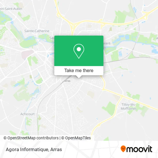
See Agora Informatique, Arras, on the map
Public Transit to Agora Informatique in Arras
Wondering how to get to Agora Informatique in Arras? Moovit helps you find the best way to get to Agora Informatique with step-by-step directions from the nearest public transit station.
Moovit provides free maps and live directions to help you navigate through your city. View schedules, routes, timetables, and find out how long does it take to get to Agora Informatique in real time.
Looking for the nearest stop or station to Agora Informatique? Check out this list of stops closest to your destination: Temple; Brassart; Faidherbe; Rue De Cambrai; Dutilleux; Collège Curie; Gare Urbaine; Goudemand; Gare; Emile Breton.
Bus: ACTI, L11, L13, L17, L4, LD2, C1, C20, L2, L6, L7, CIT1, L3, L9, L10, C3.
Want to see if there’s another route that gets you there at an earlier time? Moovit helps you find alternative routes or times. Get directions from and directions to Agora Informatique easily from the Moovit App or Website.
We make riding to Agora Informatique easy, which is why over 1.5 million users, including users in Arras, trust Moovit as the best app for public transit. You don’t need to download an individual bus app or train app, Moovit is your all-in-one transit app that helps you find the best bus time or train time available.
For information on prices of bus, costs and ride fares to Agora Informatique, please check the Moovit app.
Use the app to navigate to popular places including to the airport, hospital, stadium, grocery store, mall, coffee shop, school, college, and university.
Agora Informatique Address: 49 Rue de Cambrai 62000 Arras street in Arras
- Exodia,
- 60 Rue Grassin Balédans,
- Handimat,
- Ceripe,
- Detective Arras,
- Nord Vtc,
- Nathalie Pourrier,
- A.M.I.,
- Parc du Rietz,
- Association Espoir et Vie,
- Lmde Arras,
- Lavoiedesoie,
- Isolation Nord de France,
- Parc Du Rietz Saint-Sauveur,
- Église Saint-Sauveur,
- Biopath Hdf Nord,
- Hello Recrut,
- Parking Mahaut D'Artois,
- Église Catholique Saint-Sauveur d'Arras,
- Société Civile Immobilière
Places Near Agora Informatique (Arras)
- Marché De Noël, Arras,
- lycée Baudimont St-Charles, Arras,
- Auchan Arras, Arras,
- Artois-Expo, Saint-Laurent-Blangy,
- Lycée Du Bâtiment Jacques Le Caron, Arras,
- Grand'Place, Arras,
- Le Set Famous Club Roclincourt, Arras,
- Caf, Arras,
- Lycée Privé Baudimont Saint-Charles, Arras,
- Lycée Professionnel Alain Savary, Arras,
- Lycée Général Gambetta Carnot, Arras,
- Lfb Group Arras, Bailleul-Sir-Berthoult,
- Centre Hospitalier D'Arras, Arras,
- Lycée Robespierre, Arras,
- Université D'Artois, Arras,
- Lycée Polyvalent Guy Mollet, Arras,
- Hôpital Privé Arras Les Bonnettes, Arras,
- Main Square Festival, Arras,
- Centre Commercial Auchan, Arras,
- Citadelle D'Arras, Arras
How to get to popular places in Arras with public transit
Get around Arras by public transit!
Traveling around Arras has never been so easy. See step by step directions as you travel to any attraction, street or major public transit station. View bus and train schedules, arrival times, service alerts and detailed routes on a map, so you know exactly how to get to anywhere in Arras.
When traveling to any destination around Arras use Moovit's Live Directions with Get Off Notifications to know exactly where and how far to walk, how long to wait for your line, and how many stops are left. Moovit will alert you when it's time to get off — no need to constantly re-check whether yours is the next stop.
Wondering how to use public transit in Arras or how to pay for public transit in Arras? Moovit public transit app can help you navigate your way with public transit easily, and at minimum cost. It includes public transit fees, ticket prices, and costs. Looking for a map of Arras public transit lines? Moovit public transit app shows all public transit maps in Arras with all bus routes and stops on an interactive map.
Arras has 1 transit type(s), including: bus, operated by several transit agencies, including Artis