Directions to Agua Inmaculada (Ocoyucan) with public transportation
The following transit lines have routes that pass near Agua Inmaculada
How to get to Agua Inmaculada by bus?
Click on the bus route to see step by step directions with maps, line arrival times and updated time schedules.
From C -5, San Pedro Cholula
45 minFrom Universidad Popular Autónoma Del Estado De Puebla, San Andrés Cholula
28 minFrom Estadio Hermanos Serdán, Puebla
53 minFrom Unidad Deportiva Mario Vázquez Raña, Puebla
54 minFrom Museo del Barroco, San Andrés Cholula
33 minFrom Col. Viveros del Valle, Puebla
44 minFrom Parque Industrial Puebla 2000, Puebla
49 minFrom Juzgado Municipal de lo Civil y lo Penal San Andrés Cholula, Santa Isabel Cholula
66 minFrom Cerro de Amalucan, Puebla
48 minFrom Centro Expositor De Puebla, Puebla
50 min
Bus stops near Agua Inmaculada in Ocoyucan
Bus lines to Agua Inmaculada in Ocoyucan
What are the closest stations to Agua Inmaculada?
The closest stations to Agua Inmaculada are:
- Calle Revolucion, 102 is 18 meters away, 1 min walk.
- 16 De Septiembre, 113 is 143 meters away, 2 min walk.
- Prolongación De La 16 De Septiembre 6384 is 170 meters away, 3 min walk.
Which bus lines stop near Agua Inmaculada?
These bus lines stop near Agua Inmaculada: RUTA NGA, RUTA SANTA LUCÍA.
What’s the nearest bus station to Agua Inmaculada in Ocoyucan?
The nearest bus station to Agua Inmaculada in Ocoyucan is Calle Revolucion, 102. It’s a 1 min walk away.
What time is the first bus to Agua Inmaculada in Ocoyucan?
The RUTA 4 is the first bus that goes to Agua Inmaculada in Ocoyucan. It stops nearby at 6:12 AM.
What time is the last bus to Agua Inmaculada in Ocoyucan?
The RUTA SANTA LUCÍA is the last bus that goes to Agua Inmaculada in Ocoyucan. It stops nearby at 11:29 PM.
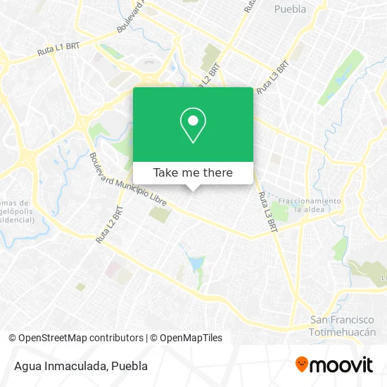
See Agua Inmaculada, Ocoyucan, on the map
Public Transit to Agua Inmaculada in Ocoyucan
Wondering how to get to Agua Inmaculada in Ocoyucan? Moovit helps you find the best way to get to Agua Inmaculada with step-by-step directions from the nearest public transit station.
Moovit provides free maps and live directions to help you navigate through your city. View schedules, routes, timetables, and find out how long does it take to get to Agua Inmaculada in real time.
Looking for the nearest stop or station to Agua Inmaculada? Check out this list of stops closest to your destination: Calle Revolucion; 16 De Septiembre; Prolongación De La 16 De Septiembre 6384.
Bus: RUTA NGA, RUTA SANTA LUCÍA, RUTA 4, CORREDOR 16 DE SEPTIEMBRE, RUTA 54A.
Want to see if there’s another route that gets you there at an earlier time? Moovit helps you find alternative routes or times. Get directions from and directions to Agua Inmaculada easily from the Moovit App or Website.
We make riding to Agua Inmaculada easy, which is why over 1.5 million users, including users in Ocoyucan, trust Moovit as the best app for public transit. You don’t need to download an individual bus app or train app, Moovit is your all-in-one transit app that helps you find the best bus time or train time available.
For information on prices of bus, costs and ride fares to Agua Inmaculada, please check the Moovit app.
Use the app to navigate to popular places including to the airport, hospital, stadium, grocery store, mall, coffee shop, school, college, and university.
Agua Inmaculada Address: Agua Inmaculada, Prolongación 16 de Septiembre, Puebla Textil, 72470 Puebla, Puebla street in Ocoyucan
- Motel Bugambilias,
- Paleteria Krystal,
- Puebla Textil,
- Foto Estudio Rivera,
- Jugos Miriam,
- Solá Textiles,
- fabrica de toallas Sola,
- Peluqueria Venus,
- Tierra y Libertad 225,
- Distribuidora Maba,
- Escuela Centenario 5 de Mayo,
- Papeleria Ferchis,
- Centro Medico Veterinario Adara,
- UMANAE Clínica De Especialidades,
- Escuela de Gastronomia Maria Reyna,
- Iglesia De Jesucristo De Los Santos De Los Ultimos Dias Barrio Granjas,
- Miscelanea La Morenita,
- Granjas del Sur,
- Colegio Mexicano de Terapeutas en Masaje,
- Teziutlan
Places Near Agua Inmaculada (Ocoyucan)
- Galerías Serdán, San Pedro Cholula,
- Zona de los Fuertes, Puebla,
- Centro de Desarrollo Comunitario Tres Cruces, Puebla,
- 25 Zona Militar, Puebla,
- Parque Puebla, Puebla,
- Centro Integral de Servicios CIS, San Andrés Cholula,
- Hospital Imss La Margarita, Puebla,
- Complejo Cultural Universitario, Ocoyucan,
- Hospital General Regional 36 IMSS San Alejandro, San Andrés Cholula,
- Ciudad Judicial del Estado de Puebla, San Andrés Cholula,
- Plaza Las Animas, Puebla,
- Estadio Cuauhtémoc, Puebla,
- Ciudad Universitaria, Puebla,
- Tres Cruces, Puebla,
- Parque Ecologico, Pue., San Andrés Cholula,
- Centro Comercial Angelópolis, San Andrés Cholula,
- Plaza Dorada Centro Comercial, Puebla,
- Secretaria de Finanzas, Puebla,
- Hospital Traumatología y Ortopedia de Puebla, San Pedro Cholula,
- SAT, San Andrés Cholula
How to get to popular places in Puebla with public transit
Get around Ocoyucan by public transit!
Traveling around Ocoyucan has never been so easy. See step by step directions as you travel to any attraction, street or major public transit station. View bus and train schedules, arrival times, service alerts and detailed routes on a map, so you know exactly how to get to anywhere in Ocoyucan.
When traveling to any destination around Ocoyucan use Moovit's Live Directions with Get Off Notifications to know exactly where and how far to walk, how long to wait for your line, and how many stops are left. Moovit will alert you when it's time to get off — no need to constantly re-check whether yours is the next stop.
Wondering how to use public transit in Ocoyucan or how to pay for public transit in Ocoyucan? Moovit public transit app can help you navigate your way with public transit easily, and at minimum cost. It includes public transit fees, ticket prices, and costs. Looking for a map of Ocoyucan public transit lines? Moovit public transit app shows all public transit maps in Ocoyucan with all bus routes and stops on an interactive map.
Puebla has 1 transit type(s), including: bus, operated by several transit agencies, including RUTA, RUTA Alimentadoras, Rutas Convencionales and Líneas temporales