Al. Augusto Stelfeld, 802 stop - Monday schedule
| Line | Direction | Time |
|---|---|---|
| 876 SAVOIA | Praça Tiradentes → Savoia (Retiro dos Padres) | 6:10 AM |
| 875 BIGORRILHO | Praça Tiradentes → Bigorrilho | 6:12 AM |
| 464 ALCIDES MUNHOZ / JARDIM BOTÂNICO | Jardim Botânico → Alcides Munhoz | 6:24 AM |
| 865 JARDIM ESPLANADA | Praça Tiradentes → Paulo Gorski | 6:24 AM |
| 876 SAVOIA | Praça Tiradentes → Savoia | 6:32 AM |
| 876 SAVOIA | Praça Tiradentes → Savoia | 6:52 AM |
| 464 ALCIDES MUNHOZ / JARDIM BOTÂNICO | Jardim Botânico → Alcides Munhoz | 7:02 AM |
| 875 BIGORRILHO | Praça Tiradentes → Bigorrilho | 7:02 AM |
| 876 SAVOIA | Praça Tiradentes → Savoia (Retiro dos Padres) | 7:08 AM |
| 865 JARDIM ESPLANADA | Praça Tiradentes → Paulo Gorski | 7:25 AM |
| 876 SAVOIA | Praça Tiradentes → Savoia | 7:33 AM |
| 464 ALCIDES MUNHOZ / JARDIM BOTÂNICO | Jardim Botânico → Alcides Munhoz | 7:43 AM |
| 876 SAVOIA | Praça Tiradentes → Savoia (Retiro dos Padres) | 7:53 AM |
| 875 BIGORRILHO | Praça Tiradentes → Bigorrilho | 7:54 AM |
| 876 SAVOIA | Praça Tiradentes → Savoia | 8:18 AM |
| 464 ALCIDES MUNHOZ / JARDIM BOTÂNICO | Jardim Botânico → Alcides Munhoz | 8:24 AM |
| 865 JARDIM ESPLANADA | Praça Tiradentes → Paulo Gorski | 8:25 AM |
| 876 SAVOIA | Praça Tiradentes → Savoia | 8:39 AM |
| 875 BIGORRILHO | Praça Tiradentes → Bigorrilho | 8:49 AM |
| 876 SAVOIA | Praça Tiradentes → Savoia | 9:00 AM |
| 464 ALCIDES MUNHOZ / JARDIM BOTÂNICO | Jardim Botânico → Alcides Munhoz | 9:07 AM |
| 876 SAVOIA | Praça Tiradentes → Savoia | 9:25 AM |
| 865 JARDIM ESPLANADA | Praça Tiradentes → Paulo Gorski | 9:25 AM |
| 875 BIGORRILHO | Praça Tiradentes → Bigorrilho | 9:43 AM |
| 464 ALCIDES MUNHOZ / JARDIM BOTÂNICO | Jardim Botânico → Alcides Munhoz | 9:51 AM |
Directions to Al. Augusto Stelfeld, 802 stop (Centro) with public transit
The following transit lines have routes that pass near Al. Augusto Stelfeld, 802
 Bus: 303 CENTENÁRIO / CAMPO COMPRIDO, 380 DETRAN / VICENTE MACHADO, 875 BIGORRILHO, 876 SAVOIA, J62 CAMPO LARGO / GUADALUPE.
How to get to Al. Augusto Stelfeld, 802 stop by bus?
Click on the bus route to see step by step directions with maps, line arrival times and updated time schedules.
Bus stops near Al. Augusto Stelfeld, 802 stop in Centro
- R. Professor Fernando Moreira, 485, 3 min walk,
- R. Saldanha Marinho, 931, 4 min walk,
- R. Professor Fernando Moreira, 100, 4 min walk,
- R. Visconde de Nácar, 866, 4 min walk,
- Visconde de Nácar, 4 min walk,
- Al. Doutor Carlos de Carvalho, 560, 6 min walk,
Bus lines to Al. Augusto Stelfeld, 802 stop in Centro
- J62 CAMPO LARGO / GUADALUPE, Garagem / Terminal Campo Largo → Terminal Guadalupe,
- 464 ALCIDES MUNHOZ / JARDIM BOTÂNICO, Alcides Munhoz → Jardim Botânico,
- 870 SÃO BRAZ, São Braz → Praça Tiradentes,
- 889 MAD. SÃO BRAZ, Praça Rui Barbosa ↺ São Braz (Circular),
- 865 JARDIM ESPLANADA, Paulo Gorski → Praça Tiradentes,
- 875 BIGORRILHO, Bigorrilho → Praça Tiradentes,
- 876 SAVOIA, Praça Tiradentes → Savoia,
- P69 MAD. CAMPO MAGRO / CURITIBA, Curitiba (Fernando Moreira) → Campo Magro,
- 160 JARDIM MERCÊS / GUANABARA, Jardim Mercês → Guanabara,
- 168 RAPOSO TAVARES, Raposo Tavares → Travessa Nestor de Castro,
- 207 CABRAL / OSÓRIO, Terminal Cabral → Praça Osório,
- 989 MAD. SANTA FELICIDADE, Praça Rui Barbosa ↺ Santa Felicidade (Circular),
- 303 CENTENÁRIO / CAMPO COMPRIDO, Terminal Campo Comprido → Terminal Centenário,
- 809 MAD. CAMPO COMPRIDO, CIC Norte / Gabnieto → Praça Rui Barbosa,
- 366 ITUPAVA / HOSPITAL MILITAR, Itupava → Hospital Militar,
- 380 DETRAN / VICENTE MACHADO, DETRAN → Vicente Machado,
What are the closest stations to Al. Augusto Stelfeld, 802?
The closest stations to Al. Augusto Stelfeld, 802 are:
- R. Professor Fernando Moreira, 485 is 176 meters away, 3 min walk.
- R. Saldanha Marinho, 931 is 236 meters away, 4 min walk.
- R. Professor Fernando Moreira, 100 is 238 meters away, 4 min walk.
- R. Visconde de Nácar, 866 is 280 meters away, 4 min walk.
- Visconde de Nácar is 296 meters away, 4 min walk.
- Al. Doutor Carlos de Carvalho, 560 is 389 meters away, 6 min walk.
Which bus lines stop near Al. Augusto Stelfeld, 802?
These bus lines stop near Al. Augusto Stelfeld, 802: 303 CENTENÁRIO / CAMPO COMPRIDO, 380 DETRAN / VICENTE MACHADO, 875 BIGORRILHO, 876 SAVOIA, J62 CAMPO LARGO / GUADALUPE.
What’s the nearest bus station to Al. Augusto Stelfeld, 802 in Centro?
The nearest bus station to Al. Augusto Stelfeld, 802 in Centro is R. Professor Fernando Moreira, 485. It’s a 3 min walk away.
What time is the first bus to Al. Augusto Stelfeld, 802 in Centro?
The 809 MAD. CAMPO COMPRIDO is the first bus that goes to Al. Augusto Stelfeld, 802 in Centro. It stops nearby at 3:02 AM.
What time is the last bus to Al. Augusto Stelfeld, 802 in Centro?
The 870 SÃO BRAZ is the last bus that goes to Al. Augusto Stelfeld, 802 in Centro. It stops nearby at 12:19 AM.
Al. Augusto Stelfeld, 802 station
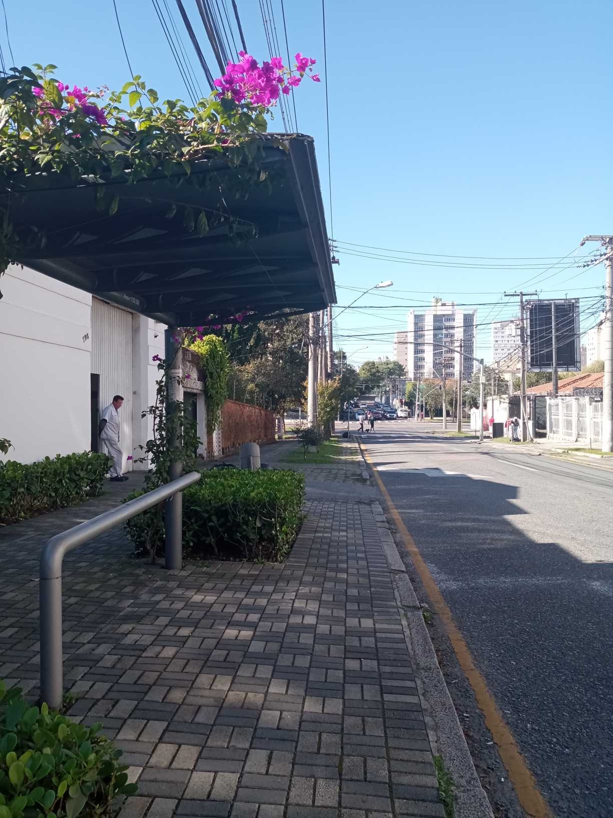 Taken by Anonymous
See Al. Augusto Stelfeld, 802 stop, Centro, on the map
Public transit to Al. Augusto Stelfeld, 802 stop (ID: 110108) in Centro
Looking for directions to Al. Augusto Stelfeld, 802 in Centro, Brazil?
Download the Moovit App to find the current schedule and step-by-step directions for Bus routes that pass through Al. Augusto Stelfeld, 802.
Looking for the nearest stops closest to Al. Augusto Stelfeld, 802 ? Check out this list of closest stops to your destination: R. Professor Fernando Moreira; R. Saldanha Marinho; R. Professor Fernando Moreira; R. Visconde de Nácar; Visconde de Nácar; Al. Doutor Carlos de Carvalho.
Bus: 303 CENTENÁRIO / CAMPO COMPRIDO, 380 DETRAN / VICENTE MACHADO, 875 BIGORRILHO, 876 SAVOIA, J62 CAMPO LARGO / GUADALUPE, 464 ALCIDES MUNHOZ / JARDIM BOTÂNICO, 870 SÃO BRAZ, 889 MAD. SÃO BRAZ, 865 JARDIM ESPLANADA, P69 MAD. CAMPO MAGRO / CURITIBA, 160 JARDIM MERCÊS / GUANABARA, 168 RAPOSO TAVARES, 207 CABRAL / OSÓRIO, 989 MAD. SANTA FELICIDADE, 809 MAD. CAMPO COMPRIDO, 366 ITUPAVA / HOSPITAL MILITAR.
We make riding on public transit to Al. Augusto Stelfeld, 802 easy, which is why over 1.5 million users, including users in Centro trust Moovit as the best app for public transit.
Use the app to navigate to popular places including to the airport, hospital, stadium, grocery store, mall, coffee shop, school, college, and university.
Al. Augusto Stelfeld, 802 stop’s code is 110108
The first line to this stop is 876 SAVOIA, at 6:10 AM, and the last line is 876 SAVOIA at 12:12 AM.
793 Alameda Augusto Stellfeld, Curitiba, Brazil
This stop serves URBS (Cartões bancários / Cartão URBS)’s lines
- R. Professor Fernando Moreira, 485,
- R. Saldanha Marinho, 931,
- R. Professor Fernando Moreira, 100,
- R. Visconde de Nácar, 866,
- Visconde de Nácar,
- Al. Doutor Carlos de Carvalho, 560
Bus stops near Al. Augusto Stelfeld, 802 stop
- Rua Olivir Cabrini - Mercado Cabrini,
- Hospital Angelina Caron - Rodovia Pr 506 (Do Caqui), 918,
- R. Desembargador Westphalen, 1345,
- Hospital de Clínicas da Universidade Federal do Paraná (R. Doutor Faivre, 50),
- Rua Rio Pelotas,
- Estrada João Baptista Setim (Cemitério Rio de Una),
- Rod. Curitiba Paranaguá BR-277 / R. Milton Machado,
- Rua Marechal Juarez Távora, 141,
- Rua Maria Sobania, 83,
- R. Emiliano Perneta, 190,
- Av. Prefeito Erasto Gaertner, 1696,
- R. Londrina, 288,
- Hospital Vita Batel,
- Hospital De Dermatologia Sanitária Do Paraná,
- Av. Presidente Affonso Camargo, 1975,
- Marginal Br 116 Sul - Sam's Club,
- Rodovia Br 476 (Estrada Da Ribeira),
- R. Onofre Holthman, 1300,
- Rua Nicolau José Gravina, 2002,
- Rua Paula Prevedello Gusso, 738-768
Popular public transit stations in Centro
Get around Centro by public transit!
Traveling around Centro has never been so easy. See step by step directions as you travel to any attraction, street or major public transit station. View bus and train schedules, arrival times, service alerts and detailed routes on a map, so you know exactly how to get to anywhere in Centro.
When traveling to any destination around Centro use Moovit's Live Directions with Get Off Notifications to know exactly where and how far to walk, how long to wait for your line, and how many stops are left. Moovit will alert you when it's time to get off — no need to constantly re-check whether yours is the next stop.
Wondering how to use public transit in Centro or how to pay for public transit in Centro? Moovit public transit app can help you navigate your way with public transit easily, and at minimum cost. It includes public transit fees, ticket prices, and costs. Looking for a map of Centro public transit lines? Moovit public transit app shows all public transit maps in Centro with all Bus and Cable Car routes and stops on an interactive map.
Curitiba Region has 2 transit type(s), including: Bus and Cable Car, operated by several transit agencies, including Sistema Integrado de Mobilidade (URBS), Sistema Integrado de Mobilidade (AMEP), URBS (Cartões bancários e Dinheiro), URBS (Cartões bancários / Cartão URBS), AMEP (Cartões bancários / Cartão MetroCard), AMEP (Cartões bancários / Cartão MetroCard / Dinheiro), Viação Colombo (Dinheiro), TRIAR (Cartão TRIAR / Dinheiro), Empresa Curitiba Cerro Azul (Dinheiro), Expresso Nossa Senhora da Penha (Dinheiro), Empresa Campo Alto Tijucas (Dinheiro), Auto Viação São José (Cartão VEM / Dinheiro), BRT S/A (Cartão VEM / Dinheiro), TransPiedade (Cartão Cidadão / Dinheiro) and Oceânica Sul (Cartão Transporte / Dinheiro)