Directions to Ala Maryland Girls State-Official (Baltimore County) with public transportation
The following transit lines have routes that pass near Ala Maryland Girls State-Official
 Bus: 29, 32, CITYLINK YELLOW.
- Train: MARC.
How to get to Ala Maryland Girls State-Official by bus?
Click on the bus route to see step by step directions with maps, line arrival times and updated time schedules.
From Maryland Live! Casino, Anne Arundel County
105 minFrom Renaissance Baltimore Harborplace Hotel, Baltimore
54 minFrom Hampden, Baltimore
84 minFrom Canton, Baltimore
78 minFrom Arundel Mills, Anne Arundel County
103 minFrom Hopkins Plaza, Baltimore
52 minFrom I-695 @ Exit 17 (Security Blvd/MD 122), Baltimore County
75 minFrom Patterson Park, Baltimore
72 minFrom I-70 at Security Blvd Baltimore City Lot Park & Ride, Baltimore
72 minFrom Camden Yards, Baltimore
51 min
How to get to Ala Maryland Girls State-Official by train?
Click on the train route to see step by step directions with maps, line arrival times and updated time schedules.
Train stations near Ala Maryland Girls State-Official in Baltimore County
Bus stop near Ala Maryland Girls State-Official in Baltimore County
- Oregon Ave & Elm Rd Nb, 13 min walk,VIEW
Bus lines to Ala Maryland Girls State-Official in Baltimore County
- 32, Catonsville,VIEW
What are the closest stations to Ala Maryland Girls State-Official?
The closest stations to Ala Maryland Girls State-Official are:
- Halethorpe Marc Nb is 1027 yards away, 13 min walk.
- Oregon Ave & Elm Rd Nb is 1035 yards away, 13 min walk.
- St Denis Marc Sb is 3645 yards away, 43 min walk.
Which bus lines stop near Ala Maryland Girls State-Official?
These bus lines stop near Ala Maryland Girls State-Official: 29, 32, CITYLINK YELLOW.
Which train line stops near Ala Maryland Girls State-Official?
MARC (Inbound - Penn)
What’s the nearest train station to Ala Maryland Girls State-Official in Baltimore County?
The nearest train station to Ala Maryland Girls State-Official in Baltimore County is Halethorpe Marc Nb. It’s a 13 min walk away.
What’s the nearest bus station to Ala Maryland Girls State-Official in Baltimore County?
The nearest bus station to Ala Maryland Girls State-Official in Baltimore County is Oregon Ave & Elm Rd Nb. It’s a 13 min walk away.
What time is the first train to Ala Maryland Girls State-Official in Baltimore County?
The MARC is the first train that goes to Ala Maryland Girls State-Official in Baltimore County. It stops nearby at 4:46 AM.
What time is the last train to Ala Maryland Girls State-Official in Baltimore County?
The MARC is the last train that goes to Ala Maryland Girls State-Official in Baltimore County. It stops nearby at 10:46 PM.
What time is the first bus to Ala Maryland Girls State-Official in Baltimore County?
The 32 is the first bus that goes to Ala Maryland Girls State-Official in Baltimore County. It stops nearby at 6:17 AM.
What time is the last bus to Ala Maryland Girls State-Official in Baltimore County?
The 32 is the last bus that goes to Ala Maryland Girls State-Official in Baltimore County. It stops nearby at 12:29 AM.
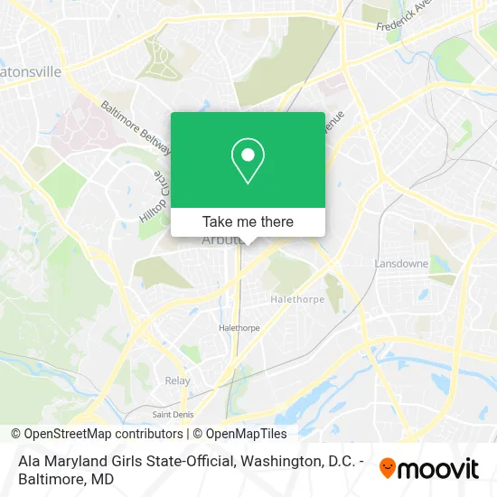
See Ala Maryland Girls State-Official, Baltimore County, on the map
Public Transit to Ala Maryland Girls State-Official in Baltimore County
Wondering how to get to Ala Maryland Girls State-Official in Baltimore County? Moovit helps you find the best way to get to Ala Maryland Girls State-Official with step-by-step directions from the nearest public transit station.
Moovit provides free maps and live directions to help you navigate through your city. View schedules, routes, timetables, and find out how long does it take to get to Ala Maryland Girls State-Official in real time.
Looking for the nearest stop or station to Ala Maryland Girls State-Official? Check out this list of stops closest to your destination: Halethorpe Marc Nb; Oregon Ave & Elm Rd Nb; St Denis Marc Sb.
Bus: 29, 32, CITYLINK YELLOW.Train: MARC.
Want to see if there’s another route that gets you there at an earlier time? Moovit helps you find alternative routes or times. Get directions from and directions to Ala Maryland Girls State-Official easily from the Moovit App or Website.
We make riding to Ala Maryland Girls State-Official easy, which is why over 1.7 million users, including users in Baltimore County, trust Moovit as the best app for public transit. You don’t need to download an individual bus app or train app, Moovit is your all-in-one transit app that helps you find the best bus time or train time available.
For information on prices of bus, train and light rail, costs and ride fares to Ala Maryland Girls State-Official, please check the Moovit app.
Use the app to navigate to popular places including to the airport, hospital, stadium, grocery store, mall, coffee shop, school, college, and university.
Ala Maryland Girls State-Official Address: 1589 Sulphur Spring Rd street in Baltimore County
- 1st Team Staffing Services,
- Union Station, Washington DC,
- Arbutus, Maryland,
- Brewer Hall - Ascension School,
- Halethorpe MARC Station,
- MD Lot 7-11,
- Halethorpe, Maryland,
- Tim's Motel,
- Halethorpe MARC Station Parking Lot,
- Commerce Dr (washington blvd and commerce),
- Southwestern Blvd Baltimore MD,
- Amazon Fulfillment Center-HBA2,
- Gardaworld,
- Walmart,
- Old Choice Courtney Rd,
- Walmart Supercenter,
- Kaiser Permanente South Baltimore County Medical Center,
- Chesapeake Employers Insurance Arena,
- Coin Cloud DCM,
- Zam the Plumber
Places Near Ala Maryland Girls State-Official (Baltimore County)
- Amazon Hq2, Arlington County,
- Capital One Arena, Washington,
- Washington National Cathedral, Washington,
- PG Mall, Prince George's County,
- National Zoo, Washington,
- National Museum of African American History and Culture, Washington,
- Washington DC VA Medical Center, Washington,
- Westfield Montgomery Mall, Montgomery County,
- Georgetown, Washington,
- Camden Yards, Baltimore,
- Sibley Memorial Hospital, Washington,
- Museum Of The Bible, Washington,
- National Theatre, Washington,
- The Anthem, Washington,
- Pennsylvania Ave NW (3rd st and pennsylvania), Washington,
- Marriott Marquis Washington, DC, Washington,
- Basilica of the National Shrine, Washington,
- Warner Theatre, Washington,
- Rock Creek Tennis Center, Washington,
- M&T Bank Stadium, Baltimore
How to get to popular places in Washington, D.C. - Baltimore, MD with public transit
Get around Baltimore County by public transit!
Traveling around Baltimore County has never been so easy. See step by step directions as you travel to any attraction, street or major public transit station. View bus and train schedules, arrival times, service alerts and detailed routes on a map, so you know exactly how to get to anywhere in Baltimore County.
When traveling to any destination around Baltimore County use Moovit's Live Directions with Get Off Notifications to know exactly where and how far to walk, how long to wait for your line, and how many stops are left. Moovit will alert you when it's time to get off — no need to constantly re-check whether yours is the next stop.
Wondering how to use public transit in Baltimore County or how to pay for public transit in Baltimore County? Moovit public transit app can help you navigate your way with public transit easily, and at minimum cost. It includes public transit fees, ticket prices, and costs. Looking for a map of Baltimore County public transit lines? Moovit public transit app shows all public transit maps in Baltimore County with all Bus, Train, Metro, Light Rail and Ferry routes and stops on an interactive map.
Washington, D.C. - Baltimore, MD has 5 transit type(s), including: Bus, Train, Metro, Light Rail and Ferry, operated by several transit agencies, including WMATA, Montgomery County Ride On, Fairfax Connector, TheBus, PRTC, DASH - Alexandria, Arlington Transit (ART), RTA of Central Maryland, MDOT MTA, MDOT MTA Light RailLink, MDOT MTA Commuter Bus, MDOT MTA Local Bus, FXBGO!, Virginia Railway Express (VRE) and MARC