How to get to Aldisa by bus?
Click on the bus route to see step by step directions with maps, line arrival times and updated time schedules.
From Pintores Mexicanos Colonia, Aguascalientes
62 minFrom Centro Comercial Altaria, Aguascalientes
56 minFrom Complejo Ferrocarrilero Tres Centurias, Aguascalientes
52 minFrom Parada De Camiones Urbanos Ruta 20, Aguascalientes
37 minFrom Avenida Moscatel 802, Aguascalientes
62 minFrom Residencial Punta Del Cielo, Aguascalientes
82 minFrom Centro Comercial Altaria, Aguascalientes
56 minFrom San José del Arenal, Aguascalientes
43 minFrom Cortijo San Marcos, Aguascalientes
76 minFrom ISSSTE Clínica de Medicina Familiar, Aguascalientes
42 min
Bus stops near Aldisa in Aguascalientes
Bus lines to Aldisa in Aguascalientes
- RUTA 06, Jesús María - Mahatma Gandhi,VIEW
- RUTA 09, Cumbres III - Mahatma Gandhi,VIEW
- RUTA 10, UAA Sur - Paseos de Aguascalientes,VIEW
- RUTA 11, Mahatma Gandhi - Chichimeco,VIEW
- RUTA 34, Villa Montaña - UPA,VIEW
- RUTA 09, Mahatma Gandhi,VIEW
- RUTA 03, La Ribera,VIEW
- RUTA 04, Mahatma Gandhi - Jesús María,VIEW
- RUTA 28, Jesús María,VIEW
- RUTA 33, Jesús María,VIEW
- RUTA 42, Bellavista,VIEW
- RUTA 43, Utma,VIEW
What are the closest stations to Aldisa?
The closest stations to Aldisa are:
- Mayor Pablo García, 422 is 199 meters away, 3 min walk.
- Mayor Pablo García, 443a is 208 meters away, 3 min walk.
- Avenida Mahatma Gandhi, 102 is 500 meters away, 7 min walk.
Which bus lines stop near Aldisa?
These bus lines stop near Aldisa: RUTA 03, RUTA 06, RUTA 11, RUTA 42, RUTA 43.
What’s the nearest bus station to Aldisa in Aguascalientes?
The nearest bus stations to Aldisa in Aguascalientes are Mayor Pablo García, 422 and Mayor Pablo García, 443a. The closest one is a 3 min walk away.
What time is the first bus to Aldisa in Aguascalientes?
The RUTA 09 is the first bus that goes to Aldisa in Aguascalientes. It stops nearby at 5:50 AM.
What time is the last bus to Aldisa in Aguascalientes?
The RUTA 11 is the last bus that goes to Aldisa in Aguascalientes. It stops nearby at 10:26 PM.
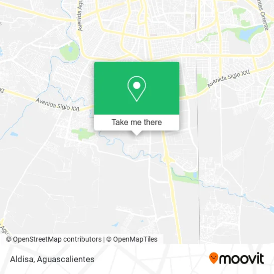
See Aldisa, Aguascalientes, on the map
Public Transit to Aldisa in Aguascalientes
Wondering how to get to Aldisa in Aguascalientes? Moovit helps you find the best way to get to Aldisa with step-by-step directions from the nearest public transit station.
Moovit provides free maps and live directions to help you navigate through your city. View schedules, routes, timetables, and find out how long does it take to get to Aldisa in real time.
Looking for the nearest stop or station to Aldisa? Check out this list of stops closest to your destination: Mayor Pablo García; Mayor Pablo García; Avenida Mahatma Gandhi.
Bus: RUTA 03, RUTA 06, RUTA 11, RUTA 42, RUTA 43, RUTA 09, RUTA 10, RUTA 34, RUTA 09, RUTA 04, RUTA 28, RUTA 33.
Want to see if there’s another route that gets you there at an earlier time? Moovit helps you find alternative routes or times. Get directions from and directions to Aldisa easily from the Moovit App or Website.
We make riding to Aldisa easy, which is why over 1.5 million users, including users in Aguascalientes, trust Moovit as the best app for public transit. You don’t need to download an individual bus app or train app, Moovit is your all-in-one transit app that helps you find the best bus time or train time available.
For information on prices of bus, costs and ride fares to Aldisa, please check the Moovit app.
Use the app to navigate to popular places including to the airport, hospital, stadium, grocery store, mall, coffee shop, school, college, and university.
Aldisa Address: Aldisa, Calle Volcán Tacaná 319, Fraccionamiento Casasolida, 20280 Aguascalientes, Aguascalientes street in Aguascalientes
- Casa Sólida,
- Salon Medusa Ags,
- Abts L y a,
- Restaurante & Bar "La Cabaña",
- Comercio al por Menor en Tiendas de Abarrotes, ultramarinos y Misceláneas,
- Fraccionamiento Casasolida,
- Fraccionamiento La Casita,
- Extinguidores Zaragoza en Aguascalientes,
- Fraccionamiento Villas del Encino,
- Bbva Bancomer,
- Cantera Gandi,
- Mares Suspensiones,
- Ovalo Aguascalientes Pista Nascar,
- One,
- WESTERN UNION,
- Clin Siguemed Sur,
- Birrieria Serna,
- Presa Malpaso,
- Culichitown,
- Bodega de Material para Constuccion
Places Near Aldisa (Aguascalientes)
- Blvd. Luis Donaldo Colosio, Aguascalientes,
- Hospital Imss No. 3, Aguascalientes,
- Jesús María, Aguascalientes,
- Terminal De Combis, Aguascalientes,
- Isla San Marcos, Aguascalientes,
- La Isla San Marcos, Aguascalientes,
- Central De Autobuses, Aguascalientes,
- Aeropuerto de Aguascalientes S.A. de C.V., Aguascalientes,
- Centro, Aguascalientes,
- Parque Las Tres Centurias, Aguascalientes,
- Universidad Autónoma de Aguascalientes, Aguascalientes,
- Villas de Nuestra Señora de la Asunción, Aguascalientes,
- Imss Clinica 1, Aguascalientes,
- Centro Comercial Altaria, Aguascalientes,
- clinica 3 uaa, Aguascalientes,
- Villasuncion, Aguascalientes,
- Agropecuario, Aguascalientes,
- ESPACIOS, Aguascalientes,
- Ciudad industrial, Aguascalientes,
- Nuevo Hospital Hidalgo, Aguascalientes
How to get to popular places in Aguascalientes with public transit
Get around Aguascalientes by public transit!
Traveling around Aguascalientes has never been so easy. See step by step directions as you travel to any attraction, street or major public transit station. View bus and train schedules, arrival times, service alerts and detailed routes on a map, so you know exactly how to get to anywhere in Aguascalientes.
When traveling to any destination around Aguascalientes use Moovit's Live Directions with Get Off Notifications to know exactly where and how far to walk, how long to wait for your line, and how many stops are left. Moovit will alert you when it's time to get off — no need to constantly re-check whether yours is the next stop.
Wondering how to use public transit in Aguascalientes or how to pay for public transit in Aguascalientes? Moovit public transit app can help you navigate your way with public transit easily, and at minimum cost. It includes public transit fees, ticket prices, and costs. Looking for a map of Aguascalientes public transit lines? Moovit public transit app shows all public transit maps in Aguascalientes with all bus routes and stops on an interactive map.
Aguascalientes has 1 transit type(s), including: bus, operated by several transit agencies, including Coordinación General de Movilidad