Directions to Aley Pool (Wichita) with public transportation
The following transit lines have routes that pass near Aley Pool
How to get to Aley Pool by bus?
Click on the bus route to see step by step directions with maps, line arrival times and updated time schedules.
From Lemongrass, Wichita
53 minFrom A To Z Tobacco Smoke Shop, Wichita
53 minFrom Bright Techies, Wichita
65 minFrom Reflection Ridge Golf Course (Golf Bar), Wichita
73 minFrom Sara Leavitt, DC, Wichita
49 minFrom Amazon Counter-Health Mart Pharmacy, Wichita
49 minFrom Allstate Insurance (Allstate Ins Agency-Newry Tony L), Wichita
54 minFrom Pro Shop, Wichita
41 minFrom N Rock Road, Wichita
54 minFrom Dedicated Senior Medical Center, Wichita
44 min
Bus stops near Aley Pool in Wichita
Bus lines to Aley Pool in Wichita
What are the closest stations to Aley Pool?
The closest stations to Aley Pool are:
- Seneca And Esthner Ob is 42 yards away, 1 min walk.
- Seneca And Harry Ib is 463 yards away, 6 min walk.
Which bus lines stop near Aley Pool?
These bus lines stop near Aley Pool: ROUTE16: S BDWY-, ROUTE22: S BDWY-.
What’s the nearest bus station to Aley Pool in Wichita?
The nearest bus station to Aley Pool in Wichita is Seneca And Esthner Ob. It’s a 1 min walk away.
What time is the first bus to Aley Pool in Wichita?
The ROUTE16: S BDWY- is the first bus that goes to Aley Pool in Wichita. It stops nearby at 5:25 AM.
What time is the last bus to Aley Pool in Wichita?
The ROUTE16: S BDWY- is the last bus that goes to Aley Pool in Wichita. It stops nearby at 7:01 PM.
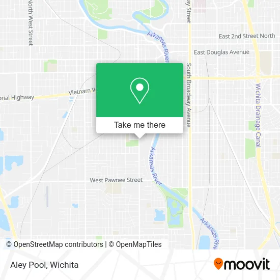
See Aley Pool, Wichita, on the map
Public Transit to Aley Pool in Wichita
Wondering how to get to Aley Pool in Wichita? Moovit helps you find the best way to get to Aley Pool with step-by-step directions from the nearest public transit station.
Moovit provides free maps and live directions to help you navigate through your city. View schedules, routes, timetables, and find out how long does it take to get to Aley Pool in real time.
Looking for the nearest stop or station to Aley Pool? Check out this list of stops closest to your destination: Seneca And Esthner Ob; Seneca And Harry Ib.
Bus: ROUTE16: S BDWY-, ROUTE22: S BDWY-, SOUTH HIGH.
Want to see if there’s another route that gets you there at an earlier time? Moovit helps you find alternative routes or times. Get directions from and directions to Aley Pool easily from the Moovit App or Website.
We make riding to Aley Pool easy, which is why over 1.5 million users, including users in Wichita, trust Moovit as the best app for public transit. You don’t need to download an individual bus app or train app, Moovit is your all-in-one transit app that helps you find the best bus time or train time available.
For information on prices of bus, costs and ride fares to Aley Pool, please check the Moovit app.
Use the app to navigate to popular places including to the airport, hospital, stadium, grocery store, mall, coffee shop, school, college, and university.
Aley Pool Address: 1800 S Seneca St Wichita, KS 67213 street in Wichita
- A Second Chance Bail Bonds,
- MDT Massage Therapy,
- Urban Connections Inc,
- Amazing Massage,
- Sara K Esthetics,
- Trudgers Recovery Group,
- Tee Pee's Smoke Shop,
- Auto Now,
- Popeyes LOUISIANA KITCHEN,
- Taqueria la Autentica,
- S McLean Blvd,
- Wic State Agency,
- Sedgwick County District CRT-GRNL,
- Innovo Vineyard,
- Anderson Financial Services,
- Metro by T-Mobile,
- Dirty D's,
- Seneca and Harry,
- Art of Comedy Festival,
- Wallz & Lidz
Places Near Aley Pool (Wichita)
- Spirit AeroSystems, Bldg 2-280J (Section 9),
- Lopez Services, Wichita,
- Ascencion Via Christi Hospital St Francis, Wichita,
- McConnell Air Force Base, Mcconnell Afb,
- 21st & Maize, Wichita,
- Westside Athletic Field (Friends University Baseball Field), Wichita,
- Ratcliff Auto and Truck Repair, Wichita,
- North High School, Wichita,
- Total Card Solutions, Wichita,
- Bmer Tech Automotive, Wichita,
- East 21st Street North and Webb Road, Wichita,
- Hubb's glory hole, Wichita,
- Wichita Dwight D. Eisenhower National Airport (ICT) (Wichita Eisenhower National Airport), Wichita,
- Four Corners Cafe @ Wesley Medical Center, Wichita,
- Sena African Hair Braiding LLC, Wichita,
- Spirit Aerosystems,
- Paige Place Apartments, Wichita,
- Towne East Mall, Wichita,
- Afghan Halal Market, Wichita,
- Spirit Aerosystems Inc, Building 1-198D
How to get to popular places in Wichita with public transit
Get around Wichita by public transit!
Traveling around Wichita has never been so easy. See step by step directions as you travel to any attraction, street or major public transit station. View bus and train schedules, arrival times, service alerts and detailed routes on a map, so you know exactly how to get to anywhere in Wichita.
When traveling to any destination around Wichita use Moovit's Live Directions with Get Off Notifications to know exactly where and how far to walk, how long to wait for your line, and how many stops are left. Moovit will alert you when it's time to get off — no need to constantly re-check whether yours is the next stop.
Wondering how to use public transit in Wichita or how to pay for public transit in Wichita? Moovit public transit app can help you navigate your way with public transit easily, and at minimum cost. It includes public transit fees, ticket prices, and costs. Looking for a map of Wichita public transit lines? Moovit public transit app shows all public transit maps in Wichita with all bus routes and stops on an interactive map.
Wichita has 1 transit type(s), including: bus, operated by several transit agencies, including Wichita Transit, Greyhound-us and FlixBus-us