Directions to Alice Chamale Insurance (Wichita) with public transportation
The following transit lines have routes that pass near Alice Chamale Insurance
 Bus: ROUTE12: DOUGLAS.
How to get to Alice Chamale Insurance by bus?
Click on the bus route to see step by step directions with maps, line arrival times and updated time schedules.
From Galloway & Company Inc., Wichita
37 minFrom 535 S Emporia St Parking, Wichita
40 minFrom Quantum Credit Union, Wichita
54 minFrom Intrust Bank Arena, Wichita
36 minFrom Autozone Auto Parts, Wichita
55 minFrom Isaac Financial Services, Wichita
49 minFrom Roman's Auto Sales and Service LLC, Wichita
64 minFrom Davenport Recovery - Wichita, Wichita
54 minFrom Spring Step, Wichita
61 minFrom State Banking Department, Wichita
41 min
Bus stop near Alice Chamale Insurance in Wichita
- Tyler And 13th St Ob, 5 min walk,VIEW
Bus lines to Alice Chamale Insurance in Wichita
- ROUTE12: DOUGLAS, Route 12 Inbound,VIEW
What are the closest stations to Alice Chamale Insurance?
The closest stations to Alice Chamale Insurance are:
- Tyler And 13th St Ob is 385 yards away, 5 min walk.
Which bus line stops near Alice Chamale Insurance?
ROUTE12: DOUGLAS (Route 12 Outboun)
What’s the nearest bus station to Alice Chamale Insurance in Wichita?
The nearest bus station to Alice Chamale Insurance in Wichita is Tyler And 13th St Ob. It’s a 5 min walk away.
What time is the first bus to Alice Chamale Insurance in Wichita?
The ROUTE12: DOUGLAS is the first bus that goes to Alice Chamale Insurance in Wichita. It stops nearby at 5:15 AM.
What time is the last bus to Alice Chamale Insurance in Wichita?
The ROUTE12: DOUGLAS is the last bus that goes to Alice Chamale Insurance in Wichita. It stops nearby at 7:04 PM.
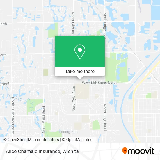
See Alice Chamale Insurance, Wichita, on the map
Public Transit to Alice Chamale Insurance in Wichita
Wondering how to get to Alice Chamale Insurance in Wichita? Moovit helps you find the best way to get to Alice Chamale Insurance with step-by-step directions from the nearest public transit station.
Moovit provides free maps and live directions to help you navigate through your city. View schedules, routes, timetables, and find out how long does it take to get to Alice Chamale Insurance in real time.
Looking for the nearest stop or station to Alice Chamale Insurance? Check out this list of stops closest to your destination: Tyler And 13th St Ob.
Bus: ROUTE12: DOUGLAS.
Want to see if there’s another route that gets you there at an earlier time? Moovit helps you find alternative routes or times. Get directions from and directions to Alice Chamale Insurance easily from the Moovit App or Website.
We make riding to Alice Chamale Insurance easy, which is why over 1.5 million users, including users in Wichita, trust Moovit as the best app for public transit. You don’t need to download an individual bus app or train app, Moovit is your all-in-one transit app that helps you find the best bus time or train time available.
For information on prices of bus, costs and ride fares to Alice Chamale Insurance, please check the Moovit app.
Use the app to navigate to popular places including to the airport, hospital, stadium, grocery store, mall, coffee shop, school, college, and university.
Alice Chamale Insurance Address: 8428 W 13th St N Wichita, KS 67212 street in Wichita
- Edward Jones Investments,
- Nails by Nancy,
- Therapeutic Solutions,
- LabCorp,
- Pulmonary and Sleep Consultants,
- Shawarma Urs,
- Uno Mas,
- Mochinut West Wichita,
- KS Lot di 8828 W 13th,
- Dillons Money Services,
- Anything Heat & Air,
- Wichita Firehouse 16,
- Wichita Brewing Company,
- Walker Counseling Services,
- Madrigal & Welch Insurance,
- Let's Roll - Printing & Graphics,
- Northwest High School,
- Michael's Tileworks,
- London Cortes,
- Dr. Ashley Thompson
Places Near Alice Chamale Insurance (Wichita)
- Wichita Dwight D. Eisenhower National Airport (ICT) (Wichita Eisenhower National Airport), Wichita,
- Sena African Hair Braiding LLC, Wichita,
- Towne East Mall, Wichita,
- Paige Place Apartments, Wichita,
- 21st & Maize, Wichita,
- Spirit Aerosystems Inc, Building 1-198D,
- Four Corners Cafe @ Wesley Medical Center, Wichita,
- Hubb's glory hole, Wichita,
- Ascencion Via Christi Hospital St Francis, Wichita,
- Westside Athletic Field (Friends University Baseball Field), Wichita,
- Total Card Solutions, Wichita,
- East 21st Street North and Webb Road, Wichita,
- North High School, Wichita,
- Spirit AeroSystems, Bldg 2-280J (Section 9),
- Ratcliff Auto and Truck Repair, Wichita,
- Bmer Tech Automotive, Wichita,
- Afghan Halal Market, Wichita,
- Lopez Services, Wichita,
- McConnell Air Force Base, Mcconnell Afb,
- Spirit Aerosystems
How to get to popular places in Wichita with public transit
Get around Wichita by public transit!
Traveling around Wichita has never been so easy. See step by step directions as you travel to any attraction, street or major public transit station. View bus and train schedules, arrival times, service alerts and detailed routes on a map, so you know exactly how to get to anywhere in Wichita.
When traveling to any destination around Wichita use Moovit's Live Directions with Get Off Notifications to know exactly where and how far to walk, how long to wait for your line, and how many stops are left. Moovit will alert you when it's time to get off — no need to constantly re-check whether yours is the next stop.
Wondering how to use public transit in Wichita or how to pay for public transit in Wichita? Moovit public transit app can help you navigate your way with public transit easily, and at minimum cost. It includes public transit fees, ticket prices, and costs. Looking for a map of Wichita public transit lines? Moovit public transit app shows all public transit maps in Wichita with all bus routes and stops on an interactive map.
Wichita has 1 transit type(s), including: bus, operated by several transit agencies, including Wichita Transit, Greyhound-us and FlixBus-us