How to get to All Things Can do by bus?
Click on the bus route to see step by step directions with maps, line arrival times and updated time schedules.
From JP Taravella High School, Coral Springs-Margate
58 minFrom Mai-Kai Restaurant And Polynesian Show, Fort Lauderdale
44 minFrom Coral Ridge Mall, Fort Lauderdale
42 minFrom Wilton Manors, Fort Lauderdale
61 minFrom Galleria at Fort Lauderdale (Galleria Mall At Fort Lauderdale), Fort Lauderdale
68 minFrom Coral Square Mall Shopping Center, Coral Springs-Margate
48 minFrom Swap Shop, Fort Lauderdale
65 minFrom Lauderhill Mall, Plantation
70 minFrom I-95, Fort Lauderdale
68 minFrom Trapeze Swing Club, Fort Lauderdale
66 min
Bus stops near All Things Can do in Pompano Beach
Train station near All Things Can do in Pompano Beach
- Cypress Creek Station, 60 min walk,VIEW
Bus lines to All Things Can do in Pompano Beach
What are the closest stations to All Things Can do?
The closest stations to All Things Can do are:
- Powerline Road/Northwest 6th Street is 353 yards away, 5 min walk.
- Northwest 27th Avenue/Northwest 6th Street is 434 yards away, 6 min walk.
- Atlantic Boulevard/Northwest 24th Avenue (Powerline Road) is 958 yards away, 12 min walk.
- Cypress Creek Station is 5129 yards away, 60 min walk.
Which bus lines stop near All Things Can do?
These bus lines stop near All Things Can do: 14, 42, 60.
What’s the nearest bus station to All Things Can do in Pompano Beach?
The nearest bus station to All Things Can do in Pompano Beach is Powerline Road/Northwest 6th Street. It’s a 5 min walk away.
What time is the first train to All Things Can do in Pompano Beach?
The TRIRAIL is the first train that goes to All Things Can do in Pompano Beach. It stops nearby at 4:38 AM.
What time is the last train to All Things Can do in Pompano Beach?
The TRIRAIL is the last train that goes to All Things Can do in Pompano Beach. It stops nearby at 10:43 PM.
What time is the first bus to All Things Can do in Pompano Beach?
The 14 is the first bus that goes to All Things Can do in Pompano Beach. It stops nearby at 5:00 AM.
What time is the last bus to All Things Can do in Pompano Beach?
The 14 is the last bus that goes to All Things Can do in Pompano Beach. It stops nearby at 12:05 AM.
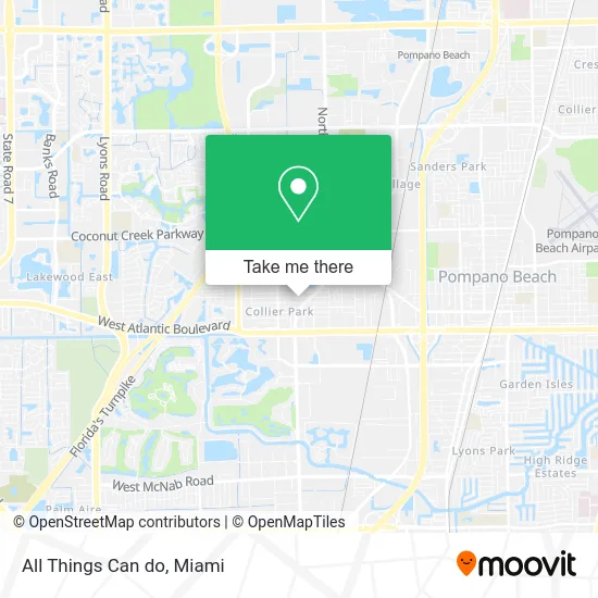
See All Things Can do, Pompano Beach, on the map
Public Transit to All Things Can do in Pompano Beach
Wondering how to get to All Things Can do in Pompano Beach? Moovit helps you find the best way to get to All Things Can do with step-by-step directions from the nearest public transit station.
Moovit provides free maps and live directions to help you navigate through your city. View schedules, routes, timetables, and find out how long does it take to get to All Things Can do in real time.
Looking for the nearest stop or station to All Things Can do? Check out this list of stops closest to your destination: Powerline Road/Northwest 6th Street; Northwest 27th Avenue/Northwest 6th Street; Atlantic Boulevard/Northwest 24th Avenue (Powerline Road); Cypress Creek Station.
Bus: 14, 42, 60.Train: TRIRAIL.
Want to see if there’s another route that gets you there at an earlier time? Moovit helps you find alternative routes or times. Get directions from and directions to All Things Can do easily from the Moovit App or Website.
We make riding to All Things Can do easy, which is why over 1.5 million users, including users in Pompano Beach, trust Moovit as the best app for public transit. You don’t need to download an individual bus app or train app, Moovit is your all-in-one transit app that helps you find the best bus time or train time available.
For information on prices of bus, costs and ride fares to All Things Can do, please check the Moovit app.
Use the app to navigate to popular places including to the airport, hospital, stadium, grocery store, mall, coffee shop, school, college, and university.
All Things Can do Address: 2426 NW 5th St Pompano Beach, FL 33069 street in Pompano Beach
- Broward County Parks,
- Gotcha Covered of Pompano Beach,
- Laneslide Vehicle Services,
- Sophivan Services,
- Boost Your Services,
- On the Roll Wrapping,
- Rozier Recycling,
- Mo Diggity Dogs,
- LBL Groves,
- E&E White Glove Installations,
- Rio the Mover,
- Timbo's Limitless Services,
- Millers Trades,
- Supreme Boat Canvas,
- Maxine Cleaning,
- Commercial Cleaning Elite,
- Mariane Dini,
- Nunstop Moving,
- Ernest Property Maintenance Lawn and Landscape,
- Shoreline Residential Improvements
Places Near All Things Can do (Pompano Beach)
- Miami VA Hospital, Miami,
- Sawgrass Mall, Miami,
- Bayside Marketplace, Miami,
- Port of Miami Cruise Terminal, Miami,
- Marlins Park, Miami,
- Keiser University Flagship Campus, West Palm Beach,
- Hard Rock Stadium, Miami Gardens,
- Aventura Mall, Miami Beach,
- Miami Freedom Park, Miami,
- Richard E. Gerstein Justice Building, Miami,
- Dolphin Mall Bus, Miami,
- Brickell City Centre, Miami,
- Wynwood, Miami,
- Zoo Miami, Miami,
- Little Havana, Miami,
- Sawgrass mall ( FL ), Miami Beach,
- Miami Design District, Miami,
- Aventura Mall, Miami,
- Dolphin Mall, Miami,
- Miami-Dade County Courthouse, Miami
How to get to popular places in Miami with public transit
Get around Pompano Beach by public transit!
Traveling around Pompano Beach has never been so easy. See step by step directions as you travel to any attraction, street or major public transit station. View bus and train schedules, arrival times, service alerts and detailed routes on a map, so you know exactly how to get to anywhere in Pompano Beach.
When traveling to any destination around Pompano Beach use Moovit's Live Directions with Get Off Notifications to know exactly where and how far to walk, how long to wait for your line, and how many stops are left. Moovit will alert you when it's time to get off — no need to constantly re-check whether yours is the next stop.
Wondering how to use public transit in Pompano Beach or how to pay for public transit in Pompano Beach? Moovit public transit app can help you navigate your way with public transit easily, and at minimum cost. It includes public transit fees, ticket prices, and costs. Looking for a map of Pompano Beach public transit lines? Moovit public transit app shows all public transit maps in Pompano Beach with all Bus, Train, Light Rail and Ferry routes and stops on an interactive map.
Miami has 4 transit type(s), including: Bus, Train, Light Rail and Ferry, operated by several transit agencies, including Broward County Transit, Miami-Dade Transit, Metrorail, Palm Tran, Tri-Rail, Brightline, MARTY, City of Homestead Trolley, Key West Transit, Treasure Coast Connector, GoLine IRT, Amtrak, Greyhound-us, FlixBus-us and Aventura Express Shuttle Bus