How to get to Allstate Insurance by bus?
Click on the bus route to see step by step directions with maps, line arrival times and updated time schedules.
From Fresh Thyme/The Coil Parking Garage, Indianapolis City (Balance)
22 minFrom Indiana State Fairgrounds, Indianapolis City (Balance)
50 minFrom 42nd Street and Arlington Ave., Indianapolis City (Balance)
51 minFrom 46th Street and Shadeland Ave., Lawrence
49 minFrom Indianapolis, Indiana, Indianapolis City (Balance)
45 minFrom Holcomb Observatory and Planetarium, Indianapolis City (Balance)
48 minFrom Butler University, Indianapolis City (Balance)
46 minFrom Ascension St Vincent Breast Mri Services, Indianapolis City (Balance)
122 minFrom W 79th St / Township Line Rd, Indianapolis City (Balance)
117 minFrom 2626 E 46th St, Indianapolis City (Balance)
29 min
Bus stop near Allstate Insurance in Indianapolis City (Balance)
- Commerce Crossing & River Crossing Blvd, 2 min walk,VIEW
Bus lines to Allstate Insurance in Indianapolis City (Balance)
What are the closest stations to Allstate Insurance?
The closest stations to Allstate Insurance are:
- Commerce Crossing & River Crossing Blvd is 128 yards away, 2 min walk.
Which bus lines stop near Allstate Insurance?
These bus lines stop near Allstate Insurance: 26, 82.
What’s the nearest bus station to Allstate Insurance in Indianapolis City (Balance)?
The nearest bus station to Allstate Insurance in Indianapolis City (Balance) is Commerce Crossing & River Crossing Blvd. It’s a 2 min walk away.
What time is the first bus to Allstate Insurance in Indianapolis City (Balance)?
The 82 is the first bus that goes to Allstate Insurance in Indianapolis City (Balance). It stops nearby at 5:14 AM.
What time is the last bus to Allstate Insurance in Indianapolis City (Balance)?
The 26 is the last bus that goes to Allstate Insurance in Indianapolis City (Balance). It stops nearby at 11:29 PM.
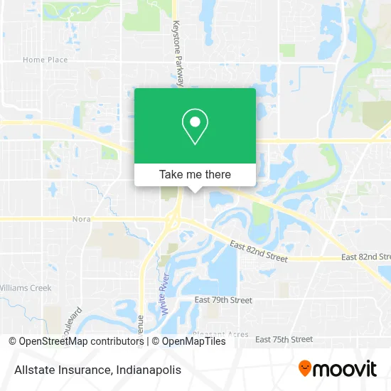
See Allstate Insurance, Indianapolis City (Balance), on the map
Public Transit to Allstate Insurance in Indianapolis City (Balance)
Wondering how to get to Allstate Insurance in Indianapolis City (Balance)? Moovit helps you find the best way to get to Allstate Insurance with step-by-step directions from the nearest public transit station.
Moovit provides free maps and live directions to help you navigate through your city. View schedules, routes, timetables, and find out how long does it take to get to Allstate Insurance in real time.
Looking for the nearest stop or station to Allstate Insurance? Check out this list of stops closest to your destination: Commerce Crossing & River Crossing Blvd.
Bus: 26, 82.
Want to see if there’s another route that gets you there at an earlier time? Moovit helps you find alternative routes or times. Get directions from and directions to Allstate Insurance easily from the Moovit App or Website.
We make riding to Allstate Insurance easy, which is why over 1.5 million users, including users in Indianapolis City (Balance), trust Moovit as the best app for public transit. You don’t need to download an individual bus app or train app, Moovit is your all-in-one transit app that helps you find the best bus time or train time available.
For information on prices of bus, costs and ride fares to Allstate Insurance, please check the Moovit app.
Use the app to navigate to popular places including to the airport, hospital, stadium, grocery store, mall, coffee shop, school, college, and university.
Allstate Insurance Address: 8888 Keystone Xing Indianapolis, IN 46240 street in Indianapolis City (Balance)
- Phazer Homes,
- Balani Custom Clothiers,
- Balani Custom Suits Indianapolis,
- Drury Hotels Company,
- Ilab,
- Reliable Couriers,
- Independence Care,
- Choice Solutions,
- Indiana Electric Cooperatives,
- Manpower Northeast Indy,
- Bright Bankruptcy Law Firm,
- Indy Hypnosis,
- Intouch Christian Counseling,
- John B Bishop,
- White Oak Advisors,
- Williamson Civil Law L,
- Capitas Financial,
- Rma Executive Search,
- Randstad,
- Jill Goldenbergschuman
Places Near Allstate Insurance (Indianapolis City (Balance))
- I U Health Methodist Hospital, Indianapolis City (Balance),
- Train Ride At Castleton Mall, Indianapolis City (Balance),
- Indianapolis Airport Zone 2, Indianapolis City (Balance),
- Lilly Corporate Center (Eli Lilly & Co), Indianapolis City (Balance),
- St. Vincent entrance #1, Indianapolis City (Balance),
- Jersey Barn, Indianapolis City (Balance),
- Indiana Convention Center, Indianapolis City (Balance),
- St. Vincent Hospital - Indianapolis, Indianapolis City (Balance),
- Gainbridge Fieldhouse, Indianapolis City (Balance),
- THE BALT, Indianapolis City (Balance),
- Plainfield, IN, Plainfield,
- 119 W 19th St Parking, Indianapolis City (Balance),
- Lucas Oil Stadium, Indianapolis City (Balance),
- Methodist Hospital of Indianapolis, Indianapolis City (Balance),
- Cotter's Massage Parlor With Happy Endings, Indianapolis City (Balance),
- I-465 / I-65 Interchange, Indianapolis City (Balance),
- Indianapolis Motor Speedway, Speedway,
- Indiana, Indianapolis City (Balance),
- Eskenazi Hospital, Indianapolis City (Balance),
- Castleton Square Mall, Indianapolis
How to get to popular places in Indianapolis with public transit
Get around Indianapolis City (Balance) by public transit!
Traveling around Indianapolis City (Balance) has never been so easy. See step by step directions as you travel to any attraction, street or major public transit station. View bus and train schedules, arrival times, service alerts and detailed routes on a map, so you know exactly how to get to anywhere in Indianapolis City (Balance).
When traveling to any destination around Indianapolis City (Balance) use Moovit's Live Directions with Get Off Notifications to know exactly where and how far to walk, how long to wait for your line, and how many stops are left. Moovit will alert you when it's time to get off — no need to constantly re-check whether yours is the next stop.
Wondering how to use public transit in Indianapolis City (Balance) or how to pay for public transit in Indianapolis City (Balance)? Moovit public transit app can help you navigate your way with public transit easily, and at minimum cost. It includes public transit fees, ticket prices, and costs. Looking for a map of Indianapolis City (Balance) public transit lines? Moovit public transit app shows all public transit maps in Indianapolis City (Balance) with all bus routes and stops on an interactive map.
Indianapolis has 1 transit type(s), including: bus, operated by several transit agencies, including IndyGo, FlixBus-us and Greyhound-us