Directions to Allstate Insurance (Fort Pierce) with public transportation
The following transit lines have routes that pass near Allstate Insurance
 Bus: 1.
How to get to Allstate Insurance by bus?
Click on the bus route to see step by step directions with maps, line arrival times and updated time schedules.
Bus stop near Allstate Insurance in Fort Pierce
- Edwards Rd E & US Hwy 1, 3 min walk,VIEW
Bus lines to Allstate Insurance in Fort Pierce
- 1, Avenue D & N 8th St,VIEW
What are the closest stations to Allstate Insurance?
The closest stations to Allstate Insurance are:
- Edwards Rd E & US Hwy 1 is 183 yards away, 3 min walk.
Which bus line stops near Allstate Insurance?
1 (Avenue D & N 8th St)
What’s the nearest bus station to Allstate Insurance in Fort Pierce?
The nearest bus station to Allstate Insurance in Fort Pierce is Edwards Rd E & US Hwy 1. It’s a 3 min walk away.
What time is the first bus to Allstate Insurance in Fort Pierce?
The 1 is the first bus that goes to Allstate Insurance in Fort Pierce. It stops nearby at 6:14 AM.
What time is the last bus to Allstate Insurance in Fort Pierce?
The 1 is the last bus that goes to Allstate Insurance in Fort Pierce. It stops nearby at 7:44 PM.
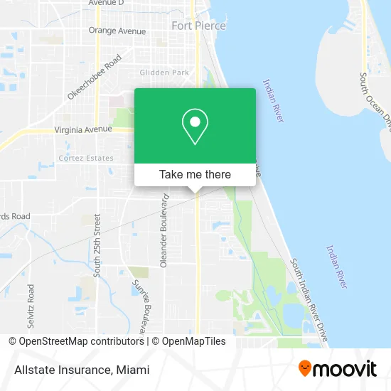
See Allstate Insurance, Fort Pierce, on the map
Public Transit to Allstate Insurance in Fort Pierce
Wondering how to get to Allstate Insurance in Fort Pierce? Moovit helps you find the best way to get to Allstate Insurance with step-by-step directions from the nearest public transit station.
Moovit provides free maps and live directions to help you navigate through your city. View schedules, routes, timetables, and find out how long does it take to get to Allstate Insurance in real time.
Looking for the nearest stop or station to Allstate Insurance? Check out this list of stops closest to your destination: Edwards Rd E & US Hwy 1.
Bus: 1.
Want to see if there’s another route that gets you there at an earlier time? Moovit helps you find alternative routes or times. Get directions from and directions to Allstate Insurance easily from the Moovit App or Website.
We make riding to Allstate Insurance easy, which is why over 1.5 million users, including users in Fort Pierce, trust Moovit as the best app for public transit. You don’t need to download an individual bus app or train app, Moovit is your all-in-one transit app that helps you find the best bus time or train time available.
For information on prices of bus, costs and ride fares to Allstate Insurance, please check the Moovit app.
Use the app to navigate to popular places including to the airport, hospital, stadium, grocery store, mall, coffee shop, school, college, and university.
Allstate Insurance Address: 3047 S US Highway 1 Fort Pierce, FL 34982 street in Fort Pierce
- We Insure the Treasure Coast - Kimberly Perez,
- Speedway,
- Valvoline Express Care,
- Wellmed at Fort Pierce,
- Patrick Joseph Justiz, MD,
- Erik Matthew Korsgaard, do,
- Charles Sherman Movers,
- Don's of Ft Pierce,
- Save-A-Lot,
- Amazon Locker-Spectrograph,
- Maryam Micheline Robinson, MD,
- Aquasport Boats,
- Exxon,
- Kelley Turco, NP,
- Liquor World II,
- RIC's Garden World,
- Treasure Coast Victory Center,
- American Jewelry and Pawn,
- Its Vacation Time,
- Firefighters Local 1377
Places Near Allstate Insurance (Fort Pierce)
- Port of Miami Cruise Terminal, Miami,
- Sawgrass Mall, Miami,
- Marlins Park, Miami,
- Miami Design District, Miami,
- Miami Freedom Park, Miami,
- Keiser University Flagship Campus, West Palm Beach,
- Zoo Miami, Miami,
- Dolphin Mall Bus, Miami,
- Wynwood, Miami,
- Dolphin Mall, Miami,
- Sawgrass mall ( FL ), Miami Beach,
- Brickell City Centre, Miami,
- Bayside Marketplace, Miami,
- Miami VA Hospital, Miami,
- Aventura Mall, Miami,
- Richard E. Gerstein Justice Building, Miami,
- Miami-Dade County Courthouse, Miami,
- Hard Rock Stadium, Miami Gardens,
- Little Havana, Miami,
- Aventura Mall, Miami Beach
How to get to popular places in Miami with public transit
Get around Fort Pierce by public transit!
Traveling around Fort Pierce has never been so easy. See step by step directions as you travel to any attraction, street or major public transit station. View bus and train schedules, arrival times, service alerts and detailed routes on a map, so you know exactly how to get to anywhere in Fort Pierce.
When traveling to any destination around Fort Pierce use Moovit's Live Directions with Get Off Notifications to know exactly where and how far to walk, how long to wait for your line, and how many stops are left. Moovit will alert you when it's time to get off — no need to constantly re-check whether yours is the next stop.
Wondering how to use public transit in Fort Pierce or how to pay for public transit in Fort Pierce? Moovit public transit app can help you navigate your way with public transit easily, and at minimum cost. It includes public transit fees, ticket prices, and costs. Looking for a map of Fort Pierce public transit lines? Moovit public transit app shows all public transit maps in Fort Pierce with all Bus, Train, Light Rail and Ferry routes and stops on an interactive map.
Miami has 4 transit type(s), including: Bus, Train, Light Rail and Ferry, operated by several transit agencies, including Broward County Transit, Miami-Dade Transit, Metrorail, Palm Tran, Tri-Rail, Brightline, MARTY, City of Homestead Trolley, Key West Transit, Treasure Coast Connector, GoLine IRT, Amtrak, Greyhound-us, FlixBus-us and Aventura Express Shuttle Bus