How to get to Allstate Insurance by bus?
Click on the bus route to see step by step directions with maps, line arrival times and updated time schedules.
Bus stops near Allstate Insurance in Newport News
Bus lines to Allstate Insurance in Newport News
What are the closest stations to Allstate Insurance?
The closest stations to Allstate Insurance are:
- Marshall & 79th is 109 yards away, 2 min walk.
- 79th & Orcutt is 539 yards away, 7 min walk.
- Jefferson & 79th is 740 yards away, 9 min walk.
Which bus lines stop near Allstate Insurance?
These bus lines stop near Allstate Insurance: 110, 112.
What’s the nearest bus station to Allstate Insurance in Newport News?
The nearest bus station to Allstate Insurance in Newport News is Marshall & 79th. It’s a 2 min walk away.
What time is the first bus to Allstate Insurance in Newport News?
The 405 is the first bus that goes to Allstate Insurance in Newport News. It stops nearby at 4:11 AM.
What time is the last bus to Allstate Insurance in Newport News?
The 112 is the last bus that goes to Allstate Insurance in Newport News. It stops nearby at 1:22 AM.
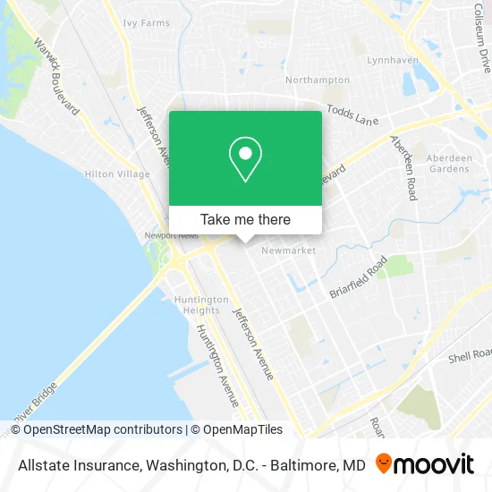
See Allstate Insurance, Newport News, on the map
Public Transit to Allstate Insurance in Newport News
Wondering how to get to Allstate Insurance in Newport News? Moovit helps you find the best way to get to Allstate Insurance with step-by-step directions from the nearest public transit station.
Moovit provides free maps and live directions to help you navigate through your city. View schedules, routes, timetables, and find out how long does it take to get to Allstate Insurance in real time.
Looking for the nearest stop or station to Allstate Insurance? Check out this list of stops closest to your destination: Marshall & 79th; 79th & Orcutt; Jefferson & 79th.
Bus: 110, 112, 114, 405, 104, 414.
Want to see if there’s another route that gets you there at an earlier time? Moovit helps you find alternative routes or times. Get directions from and directions to Allstate Insurance easily from the Moovit App or Website.
We make riding to Allstate Insurance easy, which is why over 1.5 million users, including users in Newport News, trust Moovit as the best app for public transit. You don’t need to download an individual bus app or train app, Moovit is your all-in-one transit app that helps you find the best bus time or train time available.
For information on prices of bus and train, costs and ride fares to Allstate Insurance, please check the Moovit app.
Use the app to navigate to popular places including to the airport, hospital, stadium, grocery store, mall, coffee shop, school, college, and university.
Allstate Insurance Address: 7908 Marshall Ave Newport News, VA 23605 street in Newport News
- Newport News Defiant Locksmith,
- Marshall Ave Transponder Car Key,
- Shears Gone Wild,
- Cuts by Rich,
- Jakeala,
- Robert A Shapiro Dr,
- Eye Care & Eye Wear Center,
- Tienda Honduras,
- Tactika Training and Security Services,
- It's Fashion,
- Master Braiders,
- Davita Dialysis Center,
- Bayport Credit Union,
- Truist,
- Belle Cleaning Concepts,
- Office Mini,
- Nationwide Termite & Pest,
- Pasf Iron Sports,
- A Cut 4 U,
- Antioch Christian Center
Places Near Allstate Insurance (Newport News)
- Washington National Cathedral, Washington,
- National Mall, Washington,
- National Zoo, Washington,
- National Museum of African American History and Culture, Washington,
- Capital One Arena, Washington,
- Washington DC VA Medical Center, Washington,
- PG Mall, Prince George's County,
- Pennsylvania Ave NW (3rd st and pennsylvania), Washington,
- Sibley Memorial Hospital, Washington,
- Warner Theatre, Washington,
- The Anthem, Washington,
- Basilica of the National Shrine, Washington,
- Georgetown, Washington,
- M&T Bank Stadium, Baltimore,
- Westfield Montgomery Mall, Montgomery County,
- Rock Creek Tennis Center, Washington,
- Amazon Hq2, Arlington County,
- Camden Yards, Baltimore,
- Museum Of The Bible, Washington,
- Marriott Marquis Washington, DC, Washington
How to get to popular places in Washington, D.C. - Baltimore, MD with public transit
Get around Newport News by public transit!
Traveling around Newport News has never been so easy. See step by step directions as you travel to any attraction, street or major public transit station. View bus and train schedules, arrival times, service alerts and detailed routes on a map, so you know exactly how to get to anywhere in Newport News.
When traveling to any destination around Newport News use Moovit's Live Directions with Get Off Notifications to know exactly where and how far to walk, how long to wait for your line, and how many stops are left. Moovit will alert you when it's time to get off — no need to constantly re-check whether yours is the next stop.
Wondering how to use public transit in Newport News or how to pay for public transit in Newport News? Moovit public transit app can help you navigate your way with public transit easily, and at minimum cost. It includes public transit fees, ticket prices, and costs. Looking for a map of Newport News public transit lines? Moovit public transit app shows all public transit maps in Newport News with all Bus, Train, Metro, Light Rail and Ferry routes and stops on an interactive map.
Washington, D.C. - Baltimore, MD has 5 transit type(s), including: Bus, Train, Metro, Light Rail and Ferry, operated by several transit agencies, including WMATA, Montgomery County Ride On, Fairfax Connector, TheBus, PRTC, DASH - Alexandria, Arlington Transit (ART), RTA of Central Maryland, MDOT MTA, MDOT MTA Light RailLink, MDOT MTA Commuter Bus, MDOT MTA Local Bus, FXBGO!, Virginia Railway Express (VRE) and MARC