Directions to Allstate Insurance (Richmond) with public transportation
The following transit lines have routes that pass near Allstate Insurance
 Bus: 14, 3A, 3B, BRT, FLIXBUS N2601.
- Train: NORTHEAST REGIONAL.
How to get to Allstate Insurance by bus?
Click on the bus route to see step by step directions with maps, line arrival times and updated time schedules.
From Potomac Mills Mall, Prince William County
214 minFrom Busch Gardens Williamsburg (Employee Parking Lot), James City County
158 minFrom Lorton, VA - Amtrak Auto Train Station (LOR), Fairfax County
229 minFrom Lorton, VA, Fairfax County
223 minFrom Hampton University, Hampton
311 minFrom Rose Gaming Resort, Prince William County
239 minFrom UVA Hospital Medical Center, Charlottesville
303 minFrom Amazon Fulfillment Center-Ric3, Richmond
49 minFrom Woodbridge, VA, Prince William County
151 min
How to get to Allstate Insurance by train?
Click on the train route to see step by step directions with maps, line arrival times and updated time schedules.
Bus stops near Allstate Insurance in Richmond
Train station near Allstate Insurance in Richmond
- Pathrichmond Main Street Amtrak Station, 55 min walk,VIEW
Bus lines to Allstate Insurance in Richmond
What are the closest stations to Allstate Insurance?
The closest stations to Allstate Insurance are:
- Belvidere + Holly is 109 yards away, 2 min walk.
- 2nd & Brown's Island Way is 560 yards away, 7 min walk.
- Cary & Laurel is 657 yards away, 8 min walk.
- Pathrichmond Main Street Amtrak Station is 4638 yards away, 55 min walk.
Which bus lines stop near Allstate Insurance?
These bus lines stop near Allstate Insurance: 14, 3A, 3B, BRT, FLIXBUS N2601.
Which train line stops near Allstate Insurance?
NORTHEAST REGIONAL (Newport News)
What’s the nearest bus station to Allstate Insurance in Richmond?
The nearest bus station to Allstate Insurance in Richmond is Belvidere + Holly. It’s a 2 min walk away.
What time is the first train to Allstate Insurance in Richmond?
The NORTHEAST REGIONAL is the first train that goes to Allstate Insurance in Richmond. It stops nearby at 5:19 AM.
What time is the last train to Allstate Insurance in Richmond?
The NORTHEAST REGIONAL is the last train that goes to Allstate Insurance in Richmond. It stops nearby at 6:52 PM.
What time is the first bus to Allstate Insurance in Richmond?
The 5 is the first bus that goes to Allstate Insurance in Richmond. It stops nearby at 5:07 AM.
What time is the last bus to Allstate Insurance in Richmond?
The 3C is the last bus that goes to Allstate Insurance in Richmond. It stops nearby at 12:55 AM.
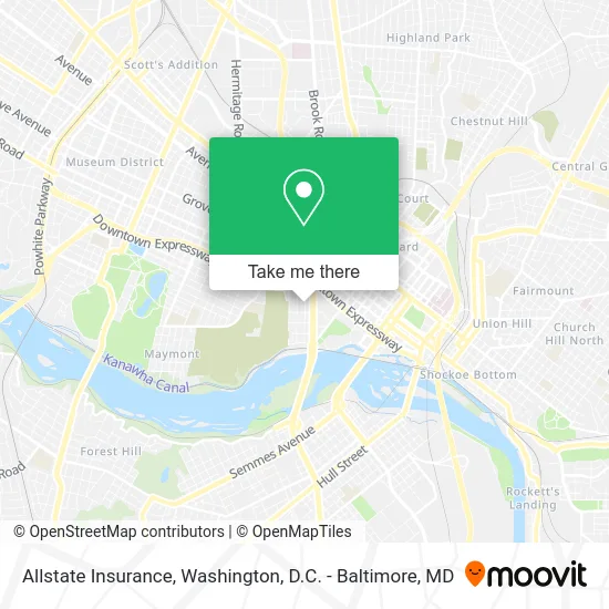
See Allstate Insurance, Richmond, on the map
Public Transit to Allstate Insurance in Richmond
Wondering how to get to Allstate Insurance in Richmond? Moovit helps you find the best way to get to Allstate Insurance with step-by-step directions from the nearest public transit station.
Moovit provides free maps and live directions to help you navigate through your city. View schedules, routes, timetables, and find out how long does it take to get to Allstate Insurance in real time.
Looking for the nearest stop or station to Allstate Insurance? Check out this list of stops closest to your destination: Belvidere + Holly; 2nd & Brown's Island Way; Cary & Laurel; Pathrichmond Main Street Amtrak Station.
Bus: 14, 3A, 3B, BRT, FLIXBUS N2601, 3C, 87, 5.Train: NORTHEAST REGIONAL.
Want to see if there’s another route that gets you there at an earlier time? Moovit helps you find alternative routes or times. Get directions from and directions to Allstate Insurance easily from the Moovit App or Website.
We make riding to Allstate Insurance easy, which is why over 1.5 million users, including users in Richmond, trust Moovit as the best app for public transit. You don’t need to download an individual bus app or train app, Moovit is your all-in-one transit app that helps you find the best bus time or train time available.
For information on prices of bus and train, costs and ride fares to Allstate Insurance, please check the Moovit app.
Use the app to navigate to popular places including to the airport, hospital, stadium, grocery store, mall, coffee shop, school, college, and university.
Allstate Insurance Address: 404 S Pine St Richmond, VA 23220 street in Richmond
- Pine Street Baptist Church,
- Oregon Hill Baptist Center,
- Hannah Levy,
- Pine Street Barber Shop,
- Pleasants Park,
- Auto Locksmith In Richmond,
- Robert Pleasants Park,
- Oregon Hill Linear Park,
- Rest in Pieces,
- Synergeo,
- Jet-Black,
- Mamma Zu,
- Minimum Wage Recording,
- Eddy Concrete,
- Victory Rug & Carpet Cleaning,
- All Tyed Up,
- Oregon Hill,
- Fine Food Market,
- ATM,
- Mocha Gourmet Market
Places Near Allstate Insurance (Richmond)
- The Anthem, Washington,
- Pennsylvania Ave NW (3rd st and pennsylvania), Washington,
- Basilica of the National Shrine, Washington,
- Warner Theatre, Washington,
- Museum Of The Bible, Washington,
- Camden Yards, Baltimore,
- Amazon Hq2, Arlington County,
- National Zoo, Washington,
- Washington DC VA Medical Center, Washington,
- Washington National Cathedral, Washington,
- Sibley Memorial Hospital, Washington,
- M&T Bank Stadium, Baltimore,
- National Mall, Washington,
- Marriott Marquis Washington, DC, Washington,
- PG Mall, Prince George's County,
- Rock Creek Tennis Center, Washington,
- Westfield Montgomery Mall, Montgomery County,
- Georgetown, Washington,
- National Museum of African American History and Culture, Washington,
- Capital One Arena, Washington
How to get to popular places in Washington, D.C. - Baltimore, MD with public transit
Get around Richmond by public transit!
Traveling around Richmond has never been so easy. See step by step directions as you travel to any attraction, street or major public transit station. View bus and train schedules, arrival times, service alerts and detailed routes on a map, so you know exactly how to get to anywhere in Richmond.
When traveling to any destination around Richmond use Moovit's Live Directions with Get Off Notifications to know exactly where and how far to walk, how long to wait for your line, and how many stops are left. Moovit will alert you when it's time to get off — no need to constantly re-check whether yours is the next stop.
Wondering how to use public transit in Richmond or how to pay for public transit in Richmond? Moovit public transit app can help you navigate your way with public transit easily, and at minimum cost. It includes public transit fees, ticket prices, and costs. Looking for a map of Richmond public transit lines? Moovit public transit app shows all public transit maps in Richmond with all Bus, Train, Metro, Light Rail and Ferry routes and stops on an interactive map.
Washington, D.C. - Baltimore, MD has 5 transit type(s), including: Bus, Train, Metro, Light Rail and Ferry, operated by several transit agencies, including WMATA, Montgomery County Ride On, Fairfax Connector, TheBus, PRTC, DASH - Alexandria, Arlington Transit (ART), RTA of Central Maryland, MDOT MTA, MDOT MTA Light RailLink, MDOT MTA Commuter Bus, MDOT MTA Local Bus, FXBGO!, Virginia Railway Express (VRE) and MARC