How to get to Alsabeel Community Center by bus?
Click on the bus route to see step by step directions with maps, line arrival times and updated time schedules.
From I-270 Exit 9A/B (I-370 / Sam Eig Hwy. Interchange), Montgomery County
77 minFrom 5454 Wisconsin, Montgomery County
74 minFrom Wheaton Mall, Montgomery County
49 minFrom Adventist HealthCare Shady Grove Medical Center, Montgomery County
50 minFrom Walter Reed National Military Medical Center, Montgomery County
35 minFrom Carderock Division of the Naval Surface Warfare Center, Montgomery County
80 minFrom Intercounty Connector (ICC)/MD 200, Montgomery County
51 minFrom Montgomery College-Rockville, Montgomery County
26 minFrom The Fillmore Silver Spring, Montgomery County
43 min
How to get to Alsabeel Community Center by metro?
Click on the metro route to see step by step directions with maps, line arrival times and updated time schedules.
Bus stops near Alsabeel Community Center in Montgomery County
Metro station near Alsabeel Community Center in Montgomery County
- Rockville, 50 min walk,VIEW
Train station near Alsabeel Community Center in Montgomery County
- Garrett Park Marc Eb, 51 min walk,VIEW
Bus lines to Alsabeel Community Center in Montgomery County
What are the closest stations to Alsabeel Community Center?
The closest stations to Alsabeel Community Center are:
- E Jefferson St & Executive Blvd is 113 yards away, 2 min walk.
- Montrose Rd & Jefferson St is 471 yards away, 6 min walk.
- Rockville is 4231 yards away, 50 min walk.
- Garrett Park Marc Eb is 4274 yards away, 51 min walk.
Which bus lines stop near Alsabeel Community Center?
These bus lines stop near Alsabeel Community Center: 26, 5, 81.
Which metro line stops near Alsabeel Community Center?
RED (Shady Grove)
What’s the nearest bus station to Alsabeel Community Center in Montgomery County?
The nearest bus station to Alsabeel Community Center in Montgomery County is E Jefferson St & Executive Blvd. It’s a 2 min walk away.
What time is the first metro to Alsabeel Community Center in Montgomery County?
The RED is the first metro that goes to Alsabeel Community Center in Montgomery County. It stops nearby at 5:04 AM.
What time is the last metro to Alsabeel Community Center in Montgomery County?
The RED is the last metro that goes to Alsabeel Community Center in Montgomery County. It stops nearby at 12:38 AM.
What time is the first train to Alsabeel Community Center in Montgomery County?
The MARC is the first train that goes to Alsabeel Community Center in Montgomery County. It stops nearby at 5:39 AM.
What time is the last train to Alsabeel Community Center in Montgomery County?
The MARC is the last train that goes to Alsabeel Community Center in Montgomery County. It stops nearby at 7:45 PM.
What time is the first bus to Alsabeel Community Center in Montgomery County?
The 26 is the first bus that goes to Alsabeel Community Center in Montgomery County. It stops nearby at 4:39 AM.
What time is the last bus to Alsabeel Community Center in Montgomery County?
The 5 is the last bus that goes to Alsabeel Community Center in Montgomery County. It stops nearby at 1:41 AM.
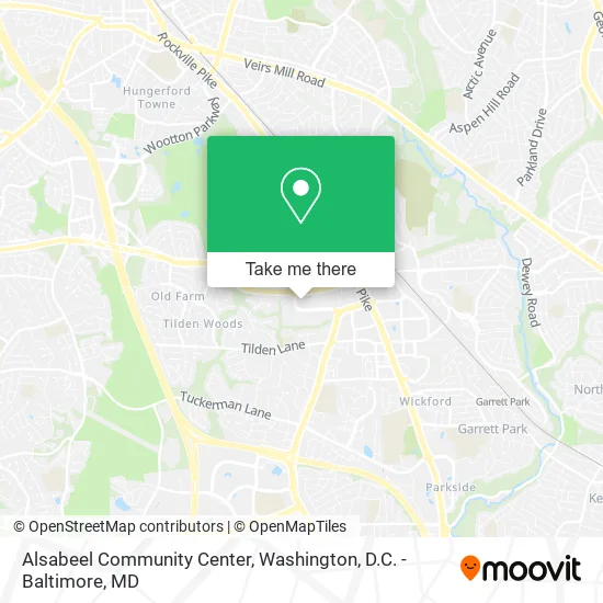
See Alsabeel Community Center, Montgomery County, on the map
Public Transit to Alsabeel Community Center in Montgomery County
Wondering how to get to Alsabeel Community Center in Montgomery County? Moovit helps you find the best way to get to Alsabeel Community Center with step-by-step directions from the nearest public transit station.
Moovit provides free maps and live directions to help you navigate through your city. View schedules, routes, timetables, and find out how long does it take to get to Alsabeel Community Center in real time.
Looking for the nearest stop or station to Alsabeel Community Center? Check out this list of stops closest to your destination: E Jefferson St & Executive Blvd; Montrose Rd & Jefferson St; Rockville; Garrett Park Marc Eb.
Bus: 26, 5, 81, 42.Train: MARC.Metro: RED.
Want to see if there’s another route that gets you there at an earlier time? Moovit helps you find alternative routes or times. Get directions from and directions to Alsabeel Community Center easily from the Moovit App or Website.
We make riding to Alsabeel Community Center easy, which is why over 1.5 million users, including users in Montgomery County, trust Moovit as the best app for public transit. You don’t need to download an individual bus app or train app, Moovit is your all-in-one transit app that helps you find the best bus time or train time available.
For information on prices of bus and metro, costs and ride fares to Alsabeel Community Center, please check the Moovit app.
Use the app to navigate to popular places including to the airport, hospital, stadium, grocery store, mall, coffee shop, school, college, and university.
Alsabeel Community Center Address: 6115 Executive Blvd Rockville, MD 20852 street in Montgomery County
- Social Solutions International, Inc.,
- Eday Wellness Spa,
- Bella Skin Care,
- Afresh Health,
- Zuri Dental,
- Evenly Orthodontics 6211 Executive Blvd.,
- First Rate Plumbing Service,
- Acuherb Center,
- Stacey Gayer, Pt,
- Angels International,
- Holistic Wellness Enrichment Center,
- Progressive,
- Aflac,
- Accession International,
- Excelsior Bodywork and Facial Care,
- Tax Masters, Inc.,
- Dr Daisy Miller & Co.,
- Project Engineers and Land Planners,
- Kaiser Permanente Health Care,
- Kaiser Permanente Regional Headquarters
Places Near Alsabeel Community Center (Montgomery County)
- Basilica of the National Shrine, Washington,
- The Anthem, Washington,
- Sibley Memorial Hospital, Washington,
- Rock Creek Tennis Center, Washington,
- Washington DC VA Medical Center, Washington,
- Washington National Cathedral, Washington,
- Camden Yards, Baltimore,
- Westfield Montgomery Mall, Montgomery County,
- M&T Bank Stadium, Baltimore,
- Georgetown, Washington,
- Warner Theatre, Washington,
- PG Mall, Prince George's County,
- Capital One Arena, Washington,
- Museum Of The Bible, Washington,
- National Zoo, Washington,
- National Museum of African American History and Culture, Washington,
- Pennsylvania Ave NW (3rd st and pennsylvania), Washington,
- Marriott Marquis Washington, DC, Washington,
- Amazon Hq2, Arlington County,
- National Theatre, Washington
How to get to popular places in Washington, D.C. - Baltimore, MD with public transit
Get around Montgomery County by public transit!
Traveling around Montgomery County has never been so easy. See step by step directions as you travel to any attraction, street or major public transit station. View bus and train schedules, arrival times, service alerts and detailed routes on a map, so you know exactly how to get to anywhere in Montgomery County.
When traveling to any destination around Montgomery County use Moovit's Live Directions with Get Off Notifications to know exactly where and how far to walk, how long to wait for your line, and how many stops are left. Moovit will alert you when it's time to get off — no need to constantly re-check whether yours is the next stop.
Wondering how to use public transit in Montgomery County or how to pay for public transit in Montgomery County? Moovit public transit app can help you navigate your way with public transit easily, and at minimum cost. It includes public transit fees, ticket prices, and costs. Looking for a map of Montgomery County public transit lines? Moovit public transit app shows all public transit maps in Montgomery County with all Bus, Train, Metro, Light Rail and Ferry routes and stops on an interactive map.
Washington, D.C. - Baltimore, MD has 5 transit type(s), including: Bus, Train, Metro, Light Rail and Ferry, operated by several transit agencies, including WMATA, Montgomery County Ride On, Fairfax Connector, TheBus, PRTC, DASH - Alexandria, Arlington Transit (ART), RTA of Central Maryland, MDOT MTA, MDOT MTA Light RailLink, MDOT MTA Commuter Bus, MDOT MTA Local Bus, FXBGO!, Virginia Railway Express (VRE) and MARC