How to get to Am Wasserturm by bus?
Click on the bus route to see step by step directions with maps, line arrival times and updated time schedules.
Bus stop near Am Wasserturm in Dresden
- Bad Muskau Lindenhof, 3 min walk,VIEW
Train station near Am Wasserturm in Dresden
- Bad Muskau, 10 min walk,VIEW
Bus lines to Am Wasserturm in Dresden
What are the closest stations to Am Wasserturm?
The closest stations to Am Wasserturm are:
- Bad Muskau Lindenhof is 152 meters away, 3 min walk.
- Bad Muskau is 694 meters away, 10 min walk.
Which bus lines stop near Am Wasserturm?
These bus lines stop near Am Wasserturm: 73, 80.
What’s the nearest train station to Am Wasserturm in Dresden?
The nearest train station to Am Wasserturm in Dresden is Bad Muskau. It’s a 10 min walk away.
What’s the nearest bus station to Am Wasserturm in Dresden?
The nearest bus station to Am Wasserturm in Dresden is Bad Muskau Lindenhof. It’s a 3 min walk away.
What time is the first bus to Am Wasserturm in Dresden?
The 80 is the first bus that goes to Am Wasserturm in Dresden. It stops nearby at 5:09 AM.
What time is the last bus to Am Wasserturm in Dresden?
The 80 is the last bus that goes to Am Wasserturm in Dresden. It stops nearby at 9:12 PM.
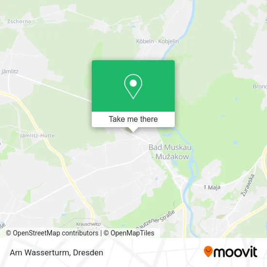
See Am Wasserturm, Dresden, on the map
Public Transit to Am Wasserturm in Dresden
Wondering how to get to Am Wasserturm in Dresden? Moovit helps you find the best way to get to Am Wasserturm with step-by-step directions from the nearest public transit station.
Moovit provides free maps and live directions to help you navigate through your city. View schedules, routes, timetables, and find out how long does it take to get to Am Wasserturm in real time.
Looking for the nearest stop or station to Am Wasserturm? Check out this list of stops closest to your destination: Bad Muskau Lindenhof; Bad Muskau.
Bus: 73, 80, 868.Train: LINIE B.
Want to see if there’s another route that gets you there at an earlier time? Moovit helps you find alternative routes or times. Get directions from and directions to Am Wasserturm easily from the Moovit App or Website.
We make riding to Am Wasserturm easy, which is why over 1.5 million users, including users in Dresden, trust Moovit as the best app for public transit. You don’t need to download an individual bus app or train app, Moovit is your all-in-one transit app that helps you find the best bus time or train time available.
For information on prices of bus and train, costs and ride fares to Am Wasserturm, please check the Moovit app.
Use the app to navigate to popular places including to the airport, hospital, stadium, grocery store, mall, coffee shop, school, college, and university.
Am Wasserturm Address: Schützenstraße 1 02953 Bad Muskau street in Dresden
- Pension am Turm,
- Gaststätte & Pension "Am Wasserturm",
- Lindenhof,
- Lindenhof Bad Muskau,
- Kulturhaus Lindenhof,
- Lindenhof Parkplatz,
- Kindertageseinrichtung,
- Kursana Domizil Bad Muskau,
- Grundschule,
- Bäckerei Raddatz,
- Netto Marken-Discount,
- Uwe Riech Steinmetzmeister,
- Pflegedienst -Sonne im Herzen,
- Hotel am Schloßbrunnen,
- Joerg Wieczorek,
- Emobility East,
- Am Schloßbrunnen,
- Bad Muskau, Lindenhof,
- Zimmervermietung Raack,
- Viereichener
Places Near Am Wasserturm (Dresden)
- Waldmax, Dresden,
- Biergarten "Gohliser Windmühle", Dresden,
- Altstadt, Dresden,
- Hans-Erlwein-Gymnasium, Dresden,
- Oskarshausen, Freital,
- Elbepark, Dresden,
- Freilichtbühne Junge Garde, Dresden,
- Weisser Hirsch, Dresden,
- Ikea, Dresden,
- Kaufpark Dresden-Nickern, Dresden,
- Amedia Hotel Dresden Elbpromenade, Dresden,
- Landschloß Zuschendorf, Pirna,
- Schloss Pillnitz, Dresden,
- Schloß Übigau, Dresden,
- Heinz-Steyer-Stadion, Dresden,
- Pfunds Molkerei, Dresden,
- Carolaschlösschen, Dresden,
- Dresden, Hauptbahnhof (Strehlener Straße), Dresden,
- Krankenhaus St. Joseph-Stift, Dresden,
- Dresden Hbf, Dresden
How to get to popular places in Dresden with public transit
Get around Dresden by public transit!
Traveling around Dresden has never been so easy. See step by step directions as you travel to any attraction, street or major public transit station. View bus and train schedules, arrival times, service alerts and detailed routes on a map, so you know exactly how to get to anywhere in Dresden.
When traveling to any destination around Dresden use Moovit's Live Directions with Get Off Notifications to know exactly where and how far to walk, how long to wait for your line, and how many stops are left. Moovit will alert you when it's time to get off — no need to constantly re-check whether yours is the next stop.
Wondering how to use public transit in Dresden or how to pay for public transit in Dresden? Moovit public transit app can help you navigate your way with public transit easily, and at minimum cost. It includes public transit fees, ticket prices, and costs. Looking for a map of Dresden public transit lines? Moovit public transit app shows all public transit maps in Dresden with all Bus, Train, Light Rail, Ferry, Cable Car and Gondola routes and stops on an interactive map.
Dresden has 6 transit type(s), including: Bus, Train, Light Rail, Ferry, Cable Car and Gondola, operated by several transit agencies, including Trilex, DB AG - S-Bahn, DVB AG, alita, RVSOE, Müller.Bus.Reisen, SATRA Eberhardt, VGM, RBO, DB AG, MRB, SDG, Sächsisch-Oberlausitzer Eisenbahngesellschaft, DB Fernverkehr (Codesharing) and Hanseatische Eisenbahn GmbH