How to get to Amazon Locker-Adil by bus?
Click on the bus route to see step by step directions with maps, line arrival times and updated time schedules.
From MD Live Casino Arundel Mills, Anne Arundel County
123 minFrom Medstar Harbor Hospital, Baltimore
56 minFrom Walmart Supercenter, Baltimore County
77 minFrom NSA Friendship Annex (FANX), Anne Arundel County
103 minFrom Pasadena, Maryland, Anne Arundel County
16 minFrom Arundel Mills, Anne Arundel County
126 minFrom Guinness Open Gate Brewery & Barrel House, Baltimore County
96 minFrom Walmart, Baltimore County
76 minFrom Maryland Live! Casino, Anne Arundel County
128 min
Bus stop near Amazon Locker-Adil in Anne Arundel County
- Ritchie Hwy & Harundale Plaza Sb, 2 min walk,VIEW
Light Rail stations near Amazon Locker-Adil in Anne Arundel County
- Glen Burnie (Cromwell), 52 min walk,VIEW
Bus lines to Amazon Locker-Adil in Anne Arundel County
What are the closest stations to Amazon Locker-Adil?
The closest stations to Amazon Locker-Adil are:
- Ritchie Hwy & Harundale Plaza Sb is 116 yards away, 2 min walk.
- Glen Burnie (Cromwell) is 4427 yards away, 52 min walk.
Which bus lines stop near Amazon Locker-Adil?
These bus lines stop near Amazon Locker-Adil: 69, 70.
What’s the nearest bus station to Amazon Locker-Adil in Anne Arundel County?
The nearest bus station to Amazon Locker-Adil in Anne Arundel County is Ritchie Hwy & Harundale Plaza Sb. It’s a 2 min walk away.
What time is the first light rail to Amazon Locker-Adil in Anne Arundel County?
The LIGHT RAILLINK is the first light rail that goes to Amazon Locker-Adil in Anne Arundel County. It stops nearby at 4:32 AM.
What time is the last light rail to Amazon Locker-Adil in Anne Arundel County?
The LIGHT RAILLINK is the last light rail that goes to Amazon Locker-Adil in Anne Arundel County. It stops nearby at 12:30 AM.
What time is the first bus to Amazon Locker-Adil in Anne Arundel County?
The 69 is the first bus that goes to Amazon Locker-Adil in Anne Arundel County. It stops nearby at 4:53 AM.
What time is the last bus to Amazon Locker-Adil in Anne Arundel County?
The 69 is the last bus that goes to Amazon Locker-Adil in Anne Arundel County. It stops nearby at 2:58 AM.
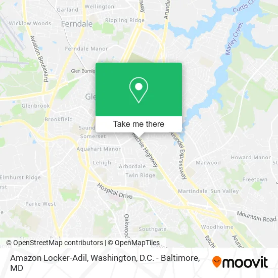
See Amazon Locker-Adil, Anne Arundel County, on the map
Public Transit to Amazon Locker-Adil in Anne Arundel County
Wondering how to get to Amazon Locker-Adil in Anne Arundel County? Moovit helps you find the best way to get to Amazon Locker-Adil with step-by-step directions from the nearest public transit station.
Moovit provides free maps and live directions to help you navigate through your city. View schedules, routes, timetables, and find out how long does it take to get to Amazon Locker-Adil in real time.
Looking for the nearest stop or station to Amazon Locker-Adil? Check out this list of stops closest to your destination: Ritchie Hwy & Harundale Plaza Sb; Glen Burnie (Cromwell).
Bus: 69, 70.
Want to see if there’s another route that gets you there at an earlier time? Moovit helps you find alternative routes or times. Get directions from and directions to Amazon Locker-Adil easily from the Moovit App or Website.
We make riding to Amazon Locker-Adil easy, which is why over 1.5 million users, including users in Anne Arundel County, trust Moovit as the best app for public transit. You don’t need to download an individual bus app or train app, Moovit is your all-in-one transit app that helps you find the best bus time or train time available.
For information on prices of bus, light rail and train, costs and ride fares to Amazon Locker-Adil, please check the Moovit app.
Use the app to navigate to popular places including to the airport, hospital, stadium, grocery store, mall, coffee shop, school, college, and university.
Amazon Locker-Adil Address: 7740 Governor Ritchie Hwy Glen Burnie, MD 21061 street in Anne Arundel County
- Games and Stuff,
- Impackt Fitness,
- Glen Burnie smart Kios,
- Top Detailing and Reconditioning,
- A Dt - ADT Alarm & Security - Main Number,
- File Cabinet Locksmith,
- Harundale Plaza,
- Happy Helpers for Thehomeless,
- Presbyterian Church,
- MTA Maryland 14 Bus Stop,
- Berkshire Hathaway Homeservices,
- Gilde Electrical Services,
- Crazy Crab,
- smart Start Ignition Interlock,
- WESTERN UNION,
- 705 Greenway Rd SE Parking,
- J&R Pro Service,
- Glen Burnie Carpet Cleaning,
- Dez's Dawgs (Dezs Dawgs),
- Clean Suite
Places Near Amazon Locker-Adil (Anne Arundel County)
- Georgetown, Washington,
- National Museum of African American History and Culture, Washington,
- National Zoo, Washington,
- Marriott Marquis Washington, DC, Washington,
- Washington National Cathedral, Washington,
- Rock Creek Tennis Center, Washington,
- Basilica of the National Shrine, Washington,
- Westfield Montgomery Mall, Montgomery County,
- M&T Bank Stadium, Baltimore,
- Pennsylvania Ave NW (3rd st and pennsylvania), Washington,
- Amazon Hq2, Arlington County,
- Warner Theatre, Washington,
- The Anthem, Washington,
- Sibley Memorial Hospital, Washington,
- Camden Yards, Baltimore,
- Washington DC VA Medical Center, Washington,
- Capital One Arena, Washington,
- Museum Of The Bible, Washington,
- National Mall, Washington,
- PG Mall, Prince George's County
How to get to popular places in Washington, D.C. - Baltimore, MD with public transit
Get around Anne Arundel County by public transit!
Traveling around Anne Arundel County has never been so easy. See step by step directions as you travel to any attraction, street or major public transit station. View bus and train schedules, arrival times, service alerts and detailed routes on a map, so you know exactly how to get to anywhere in Anne Arundel County.
When traveling to any destination around Anne Arundel County use Moovit's Live Directions with Get Off Notifications to know exactly where and how far to walk, how long to wait for your line, and how many stops are left. Moovit will alert you when it's time to get off — no need to constantly re-check whether yours is the next stop.
Wondering how to use public transit in Anne Arundel County or how to pay for public transit in Anne Arundel County? Moovit public transit app can help you navigate your way with public transit easily, and at minimum cost. It includes public transit fees, ticket prices, and costs. Looking for a map of Anne Arundel County public transit lines? Moovit public transit app shows all public transit maps in Anne Arundel County with all Bus, Train, Metro, Light Rail and Ferry routes and stops on an interactive map.
Washington, D.C. - Baltimore, MD has 5 transit type(s), including: Bus, Train, Metro, Light Rail and Ferry, operated by several transit agencies, including WMATA, Montgomery County Ride On, Fairfax Connector, TheBus, PRTC, DASH - Alexandria, Arlington Transit (ART), RTA of Central Maryland, MDOT MTA, MDOT MTA Light RailLink, MDOT MTA Commuter Bus, MDOT MTA Local Bus, FXBGO!, Virginia Railway Express (VRE) and MARC