How to get to Amazon Locker-Freeman by bus?
Click on the bus route to see step by step directions with maps, line arrival times and updated time schedules.
From Morsang-sur-Orge, Morsang-Sur-Orge
105 minFrom Massy-Tgv, Palaiseau
26 minFrom Viry-Châtillon, Viry-Chatillon
98 minFrom Fresnes, Fresnes
74 minFrom Bondoufle, Bondoufle
73 minFrom Clinique De l'Yvette, Longjumeau
71 minFrom Hôpital Privé d'Antony, Antony
60 minFrom Massy-Palaiseau, Massy
30 minFrom Wissous, Wissous
107 minFrom Les Ulis, Les Ulis
67 min
Bus stops near Amazon Locker-Freeman in Nozay
Bus lines to Amazon Locker-Freeman in Nozay
What are the closest stations to Amazon Locker-Freeman?
The closest stations to Amazon Locker-Freeman are:
- Versailles is 137 meters away, 2 min walk.
- Collège Louise Weiss is 393 meters away, 6 min walk.
- Maison de la Santé is 562 meters away, 8 min walk.
Which bus line stops near Amazon Locker-Freeman?
4641 (Piscine)
What’s the nearest bus station to Amazon Locker-Freeman in Nozay?
The nearest bus station to Amazon Locker-Freeman in Nozay is Versailles. It’s a 2 min walk away.
What time is the first bus to Amazon Locker-Freeman in Nozay?
The 4641 is the first bus that goes to Amazon Locker-Freeman in Nozay. It stops nearby at 7:13 AM.
What time is the last bus to Amazon Locker-Freeman in Nozay?
The 4641 is the last bus that goes to Amazon Locker-Freeman in Nozay. It stops nearby at 10:28 PM.
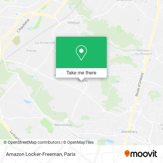
See Amazon Locker-Freeman, Nozay, on the map
Public Transit to Amazon Locker-Freeman in Nozay
Wondering how to get to Amazon Locker-Freeman in Nozay? Moovit helps you find the best way to get to Amazon Locker-Freeman with step-by-step directions from the nearest public transit station.
Moovit provides free maps and live directions to help you navigate through your city. View schedules, routes, timetables, and find out how long does it take to get to Amazon Locker-Freeman in real time.
Looking for the nearest stop or station to Amazon Locker-Freeman? Check out this list of stops closest to your destination: Versailles; Collège Louise Weiss; Maison de la Santé.
Bus: 4641, 4617, 4644, 4650, 4657, 4642.
Want to see if there’s another route that gets you there at an earlier time? Moovit helps you find alternative routes or times. Get directions from and directions to Amazon Locker-Freeman easily from the Moovit App or Website.
We make riding to Amazon Locker-Freeman easy, which is why over 1.5 million users, including users in Nozay, trust Moovit as the best app for public transit. You don’t need to download an individual bus app or train app, Moovit is your all-in-one transit app that helps you find the best bus time or train time available.
For information on prices of bus and RER, costs and ride fares to Amazon Locker-Freeman, please check the Moovit app.
Use the app to navigate to popular places including to the airport, hospital, stadium, grocery store, mall, coffee shop, school, college, and university.
Amazon Locker-Freeman Address: 4 Rue du Vieux Lavoir 91620 Nozay street in Nozay
- Nicolle Christophe,
- Dr Valdivieso,
- Auchan Drive Cité de l'Innovation,
- Mairie de Nozay,
- Le Versailles,
- Cm&B,
- Salle des Jeunes,
- La Meunière,
- La Toiletterie,
- Fabrik Recycle,
- Svvo,
- Club d'Échecs Asac Ile de France,
- Jules Verne,
- Pylandries,
- Orientaction,
- Sophro Vbc,
- La Boucherie de Papa,
- Fmp,
- Chemin Belle Épine,
- Collège Louise Weiss
Places Near Amazon Locker-Freeman (Nozay)
- Marché Saint-Pierre, Paris,
- Théâtre Mogador, Paris,
- Hôpital de la Pitié-Salpêtrière, Paris,
- Beaugrenelle, Paris,
- 29 Rue Manin, Paris,
- Hopital Lariboisière, Paris,
- Hôpital Beaujon, Clichy,
- Hôpital Pitié Salpêtrière, Paris,
- Hôpital Saint-Joseph, Paris,
- Fondation Louis Vuitton, Paris,
- Hôpital Henri Mondor, Creteil,
- Hôpital Cochin, Paris,
- Centre Hospitalier des 15/20, Paris,
- Gare Routière Flixbus, Paris,
- Hôpital Necker, Paris,
- Atelier Des Lumieres, Paris,
- Galeries Lafayette, Paris,
- Hopital Foch, Suresnes,
- Galeries Lafayette Haussmann, Paris,
- Créteil Soleil, Creteil
How to get to popular places in Paris with public transit
Get around Nozay by public transit!
Traveling around Nozay has never been so easy. See step by step directions as you travel to any attraction, street or major public transit station. View bus and train schedules, arrival times, service alerts and detailed routes on a map, so you know exactly how to get to anywhere in Nozay.
When traveling to any destination around Nozay use Moovit's Live Directions with Get Off Notifications to know exactly where and how far to walk, how long to wait for your line, and how many stops are left. Moovit will alert you when it's time to get off — no need to constantly re-check whether yours is the next stop.
Wondering how to use public transit in Nozay or how to pay for public transit in Nozay? Moovit public transit app can help you navigate your way with public transit easily, and at minimum cost. It includes public transit fees, ticket prices, and costs. Looking for a map of Nozay public transit lines? Moovit public transit app shows all public transit maps in Nozay with all Bus, Train, Metro, Light Rail, RER, Funicular and Gondola routes and stops on an interactive map.
Paris has 7 transit type(s), including: Bus, Train, Metro, Light Rail, RER, Funicular and Gondola, operated by several transit agencies, including RATP, RER, RER Bus de remplacement, Train, Train Bus de remplacement, Tramway Bus de remplacement, TER, ADP, Magical Shuttle, Argenteuil - Boucles de Seine, Autocars Dominique, Bièvre, Brie et 2 Morin, Le Bus - C.C. du Clermontois and Cœur d’Essonne